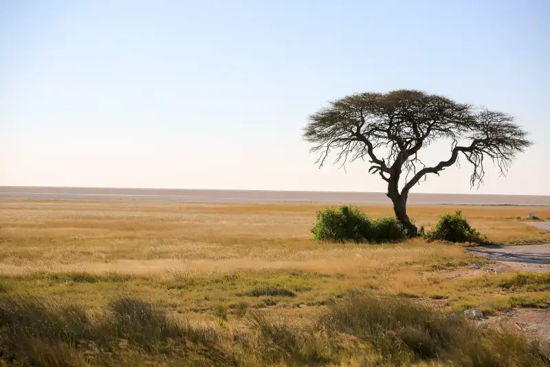
Visiting Etosha National Park: a complete guide to the Namibian safari
Complete guide to Etosha National Park: best season, camps, waterholes and animals to see. Everything to plan your safari in Namibia.
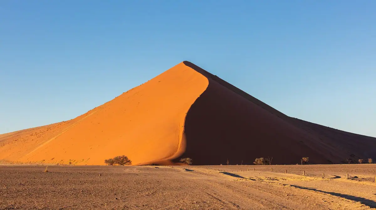
Desert self-drive · Namibia
The red dunes of Sossusvlei, Swakopmund on the Atlantic, Damaraland and the wildlife of Etosha, on long gravel roads.
We may earn a commission when you book through links on this page, at no extra cost to you. We don't visit or try the places we cover: we summarize published sources. How we work
Namibia at a glance: 3 itineraries from 10 to 21 days; our trip planner works with 10 stops, and its 10-day sample trip adds up to about 10 h 30 of driving, the longest leg being Windhoek to Swakopmund (3 h 55); by our climate data, the months with highs of 64 to 82 °F (18 to 28 °C) are May to August; arrival airports in the planner: Hosea Kutako International Airport, Windhoek (WDH); 15 guides answer the other questions.
Guides
Complete guide to Etosha National Park: best season, camps, waterholes and animals to see. Everything to plan your safari in Namibia.
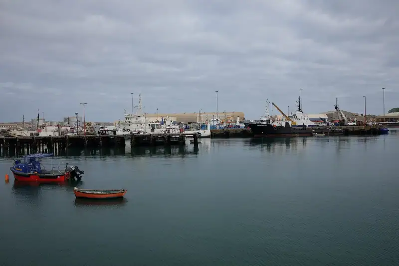
Complete guide to Lüderitz: Kolmanskop, penguins, German architecture and the Namib Desert. All you need to visit this unique town in Namibia.
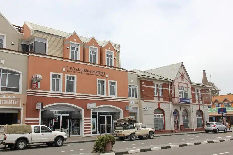
Complete guide to Swakopmund: German architecture, sandboarding, Living Desert tours and restaurants. Everything to visit this unique Namibian town.
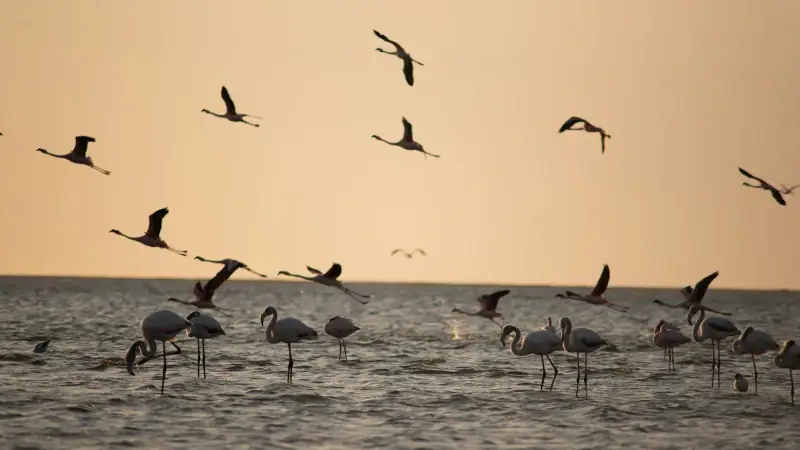
Complete guide to Walvis Bay: lagoon, flamingos, dolphins, Sandwich Harbour and fresh oysters. All you need to visit this unique Namibian town.
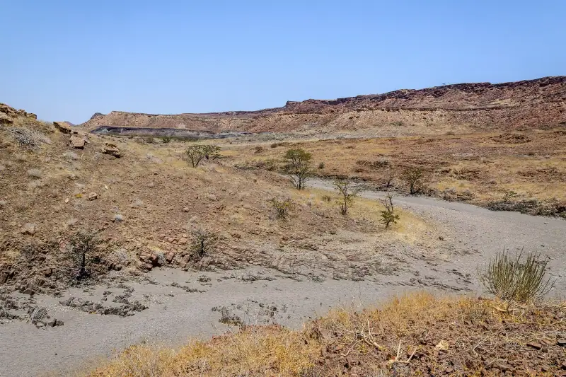
Complete guide to Twyfelfontein: UNESCO petroglyphs, Organ Pipes, the Petrified Forest and desert elephants. Plan your Damaraland visit.
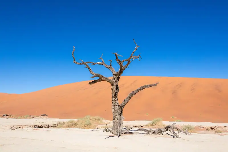
Complete guide to visiting Sossusvlei: Sesriem Canyon, Deadvlei, hidden vleis, wildlife, logistics and practical tips for an unforgettable stay.
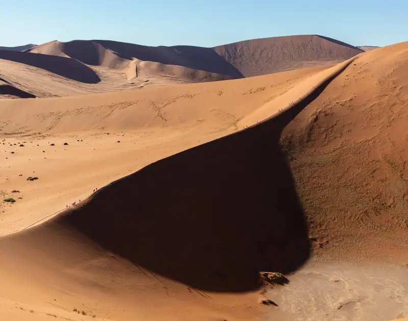
When to go to Namibia? Climate, seasons, wildlife and month-by-month advice to choose the best time for what you want to do.
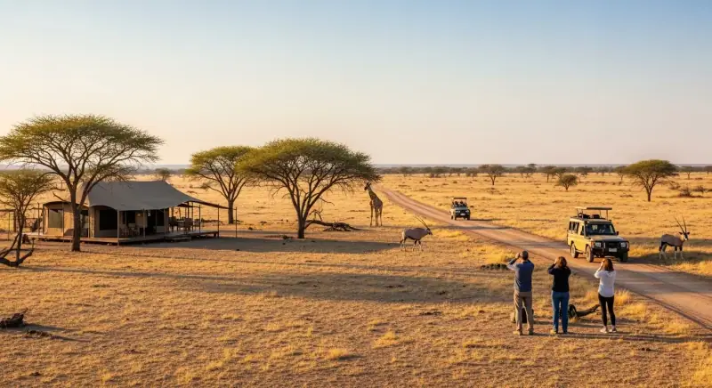
Estimate the cost of your Namibia trip: accommodation, transport, safari, activities and tips for traveling for less.
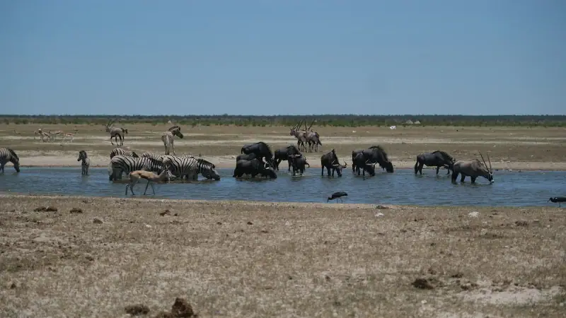
Choose where to stay in Etosha: official Okaukuejo, Halali and Namutoni camps or lodges outside the park. Budget, booking and safari tips.
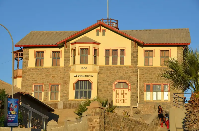
Hotels, guesthouses and camping in Lüderitz: a complete guide to choosing where to sleep in this isolated colonial town on the Namibian coast.
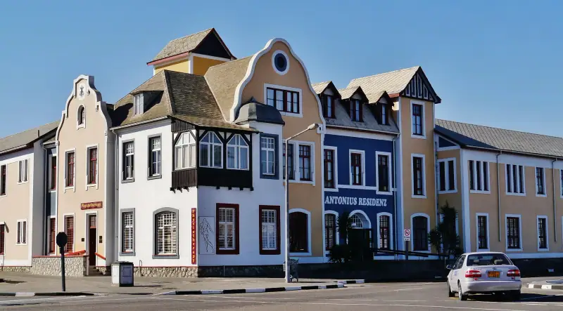
Find the best places to stay in Swakopmund, Namibia's Atlantic pearl: hotels, guesthouses and lodges with ocean views, for every budget.
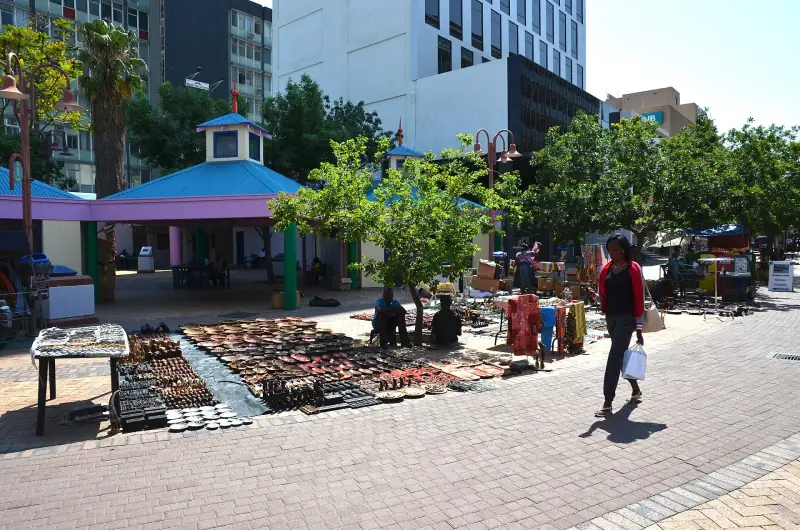
The best hotels, guesthouses and neighborhoods to stay in Windhoek, the capital of Namibia. A complete guide for every budget.
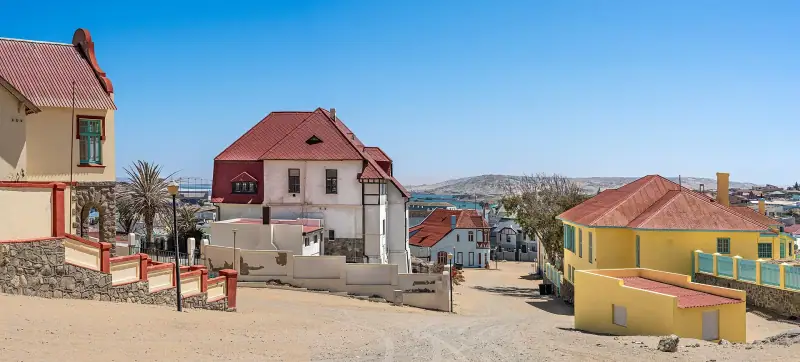
Kolmanskop, penguins at Halifax Island, Bogenfels, diving, flamingos: a complete guide to things to do in Lüderitz, Namibia's southern colonial gem.
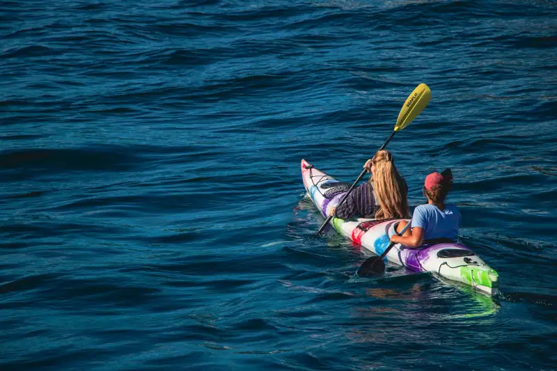
Sandboarding, dune quad biking, kayaking with seals, skydiving: all the adventure activities in Swakopmund, Namibia's adrenaline capital.
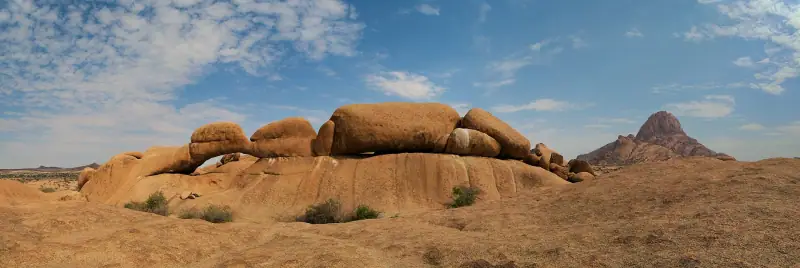
Spitzkoppe 2025-2026 fees (day visit N$180, camping N$300), booking, unguided hiking, rock paintings and tips for sleeping there.
Itineraries
Full articles, with the days in order and where to sleep.
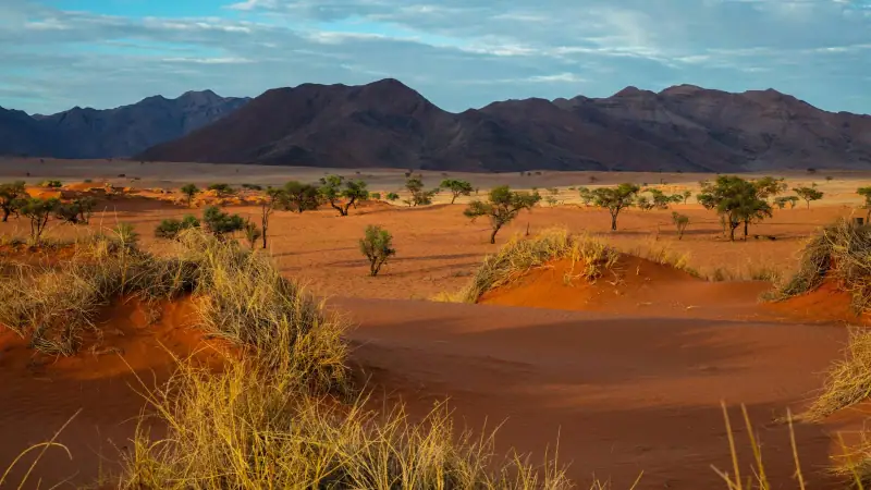
10 days
WindhoekEtoshaDamaralandSwakopmundSesriem / SossusvleiWindhoek
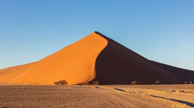
10 days
WindhoekEtosha (Okaukuejo)Khorixas / TwyfelfonteinSwakopmundSesriemWindhoek

21 days
WindhoekSossusvlei / Namib-NaukluftSwakopmund / Walvis BayDamaraland / SpitzkoppeTwyfelfonteinSkeleton Coast, southern partEtoshaWaterberg PlateauFish River CanyonLüderitz and return to Windhoek
| Jan | Feb | Mar | Apr | May | Jun | Jul | Aug | Sep | Oct | Nov | Dec | |
|---|---|---|---|---|---|---|---|---|---|---|---|---|
| Windhoek | ||||||||||||
| High °F (°C) | 9032 | 8831 | 8429 | 8127 | 7725 | 7222 | 7222 | 7725 | 8429 | 9032 | 9032 | 9032 |
| Low °F (°C) | 6317 | 6116 | 5915 | 5412 | 489 | 415 | 415 | 457 | 5211 | 5714 | 5915 | 6116 |
| Rain in (mm) | 3.180 | 3.385 | 2.870 | 1.845 | 0.25 | 0.00 | 0.00 | 0.00 | 0.25 | 0.615 | 1.230 | 2.050 |
| Keetmanshoop | ||||||||||||
| High °F (°C) | 9937 | 9736 | 9535 | 8831 | 8127 | 7323 | 7323 | 7926 | 8630 | 9133 | 9535 | 9937 |
| Low °F (°C) | 6619 | 6619 | 6418 | 5714 | 489 | 415 | 415 | 436 | 5010 | 5513 | 5915 | 6317 |
| Rain in (mm) | 1.640 | 1.640 | 1.230 | 1.025 | 0.25 | 0.00 | 0.00 | 0.00 | 0.25 | 0.25 | 0.410 | 0.820 |
Normals 1991–2020 at Windhoek and Keetmanshoop: averages over 30 years, not a forecast. Source: NASA POWER (MERRA-2), grid of about 50 km. Figures computed by us in November 2026.
Seasons, festivals and road closures: Best time to visit Namibia: a month-by-month guide
Or build your own
Pick your days and your pace. The planner orders the stops, divides up the nights and gives the real drive times.
A 10-day example: 10 h 30 of travel in total (870 km / 541 mi).
Open the planner
10 stops
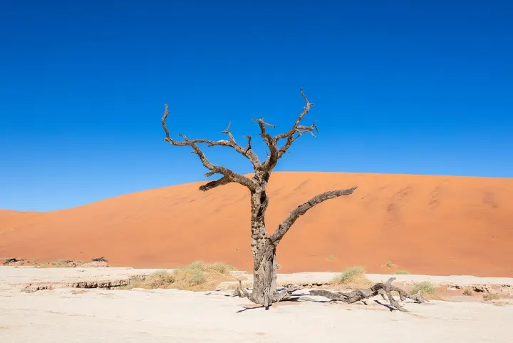 Photo: Diego Delso / Wikimedia Commons (CC BY-SA 4.0)
Entrance village of Namib-Naukluft Park, about 4 h 30 by road from Windhoek. Dune 45, Deadvlei, Big Daddy and Sesriem Canyon.
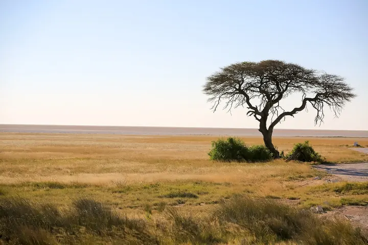 Photo: Stéphane Gallay from Laconnex, Switzerland / Wikimedia Commons (CC BY 2.0)
Camp at the south gate of Etosha National Park, known for its waterhole. Self-drive safari, elephants, lions and rhinos.
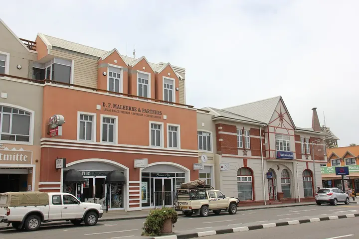 Photo: Laika ac from USA / Wikimedia Commons (CC BY-SA 2.0)
Seaside town with German architecture, between desert and Atlantic. Base for Walvis Bay, Sandwich Harbour and dune activities.
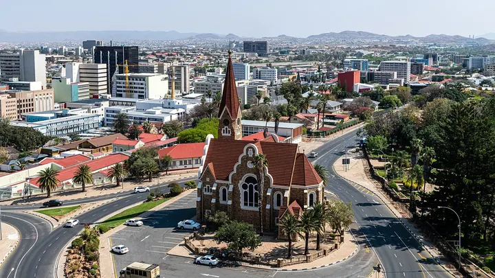 Photo: Christoph Strässler / Wikimedia Commons (CC BY-SA 2.0)
Capital and starting point of the loop, about 45 km (28 mi) from the airport. Christuskirche, Tintenpalast, crafts market and restaurants.
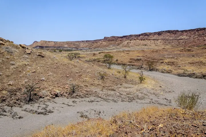 Photo: Domenico Convertini from Zurich, Schweiz / Wikimedia Commons (CC BY-SA 2.0)
UNESCO-listed rock engravings in Damaraland. Petrified Forest and Organ Pipes nearby.
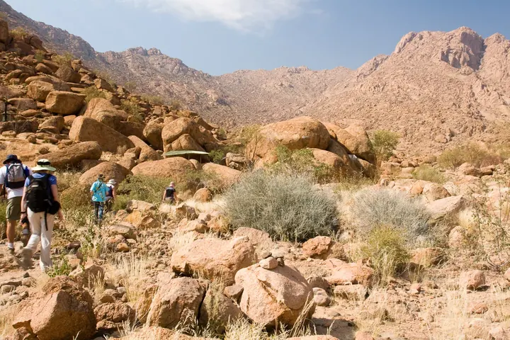 Photo: Greg Willis from Denver, CO, usa / Wikimedia Commons (CC BY-SA 2.0)
Second-largest canyon in the world. Viewpoints on the canyon rim; the 85 km (53 mi) hike is reserved for the dry season.
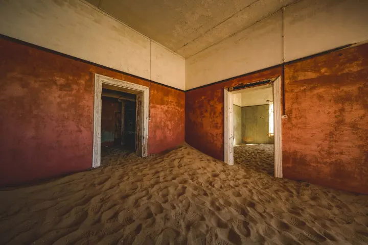
Former diamond capital on the south coast, with Art Nouveau architecture. Base for Kolmanskop, the sand-covered ghost town.
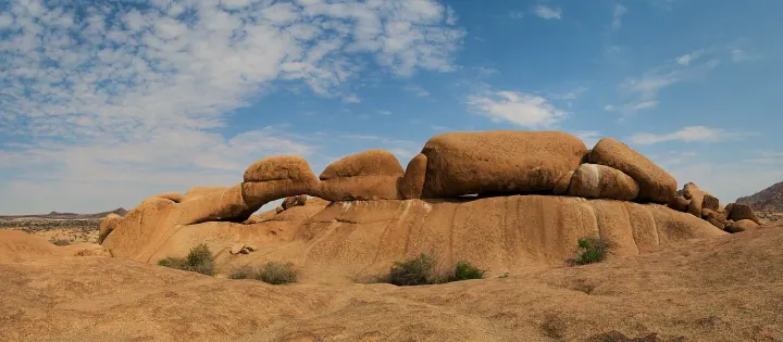 Photo: Daniel Kraft / Wikimedia Commons (CC BY-SA 3.0)
Granite massif nicknamed the Matterhorn of Namibia, with camping at the foot of the rocks. Unguided hikes and starry skies.
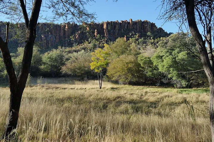 Photo: FrankBothe / Wikimedia Commons (CC BY-SA 4.0)
650 m (2,130 ft) red sandstone plateau, a recommended detour between Etosha and the south. Rhinos, giraffes and vultures.
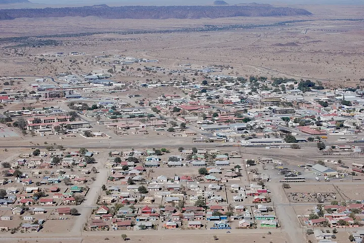 Photo: Hp.Baumeler / Wikimedia Commons (CC BY-SA 4.0)
Stopover town on the B1 between Windhoek and the south, useful for supplies and fuel before Fish River Canyon or Lüderitz.
Keep exploring
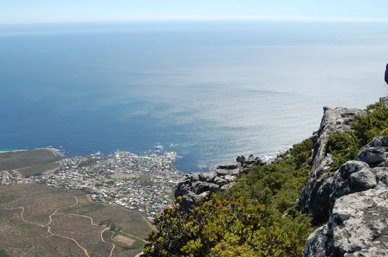
Cape Town & the Garden Route · South Africa
Cape Town and its peninsula, the Winelands, the Garden Route and safaris, on long and easy roads.
18 guides3 itinerariesTrip planner
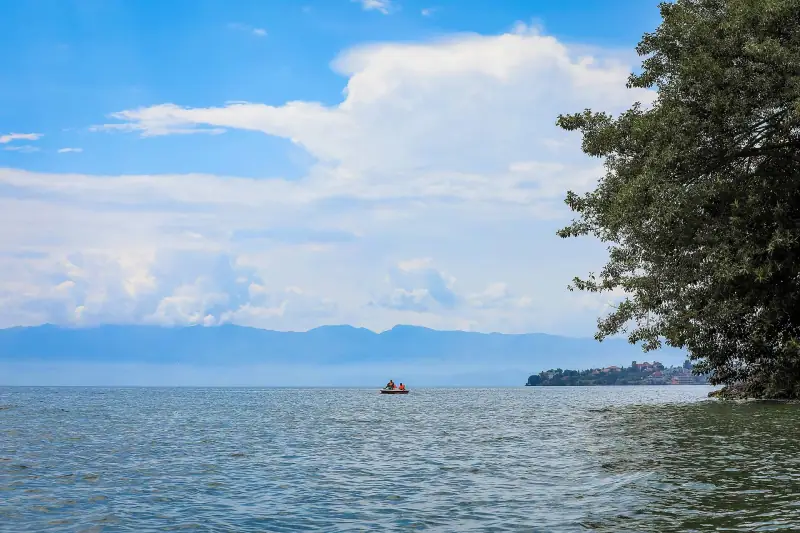
Gorillas, lakes & forests · Rwanda
Kigali, the mountain gorillas of Volcanoes National Park, Lake Kivu, the Nyungwe rainforest and the savanna of Akagera.
18 guides3 itinerariesTrip planner
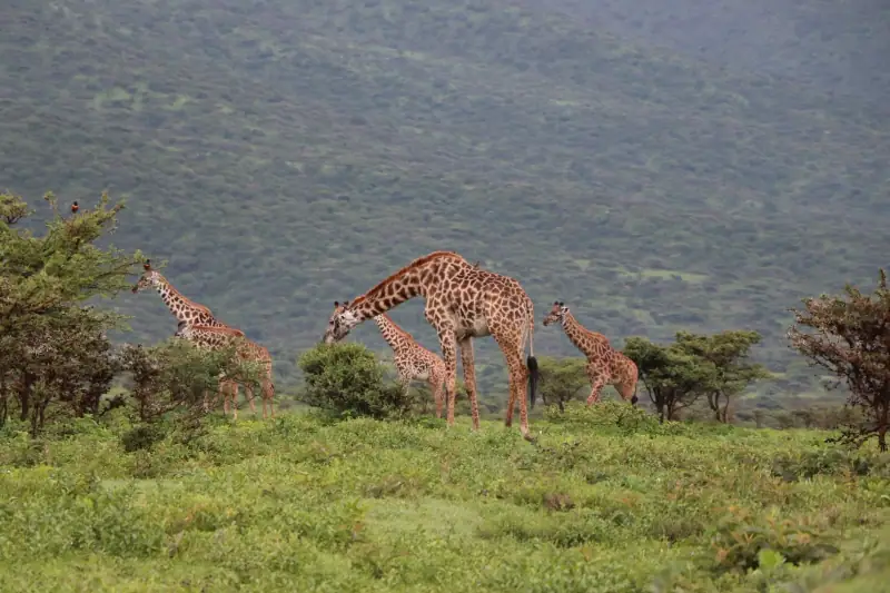
Safaris & Kilimanjaro · Tanzania
The Serengeti, the Ngorongoro Crater and Tarangire, Kilimanjaro and the beaches of the coast.
18 guides3 itineraries