Itineraries
Namibia road trip in the rainy season (January to March): itinerary and passable roads
We may earn a commission when you book through links on this page, at no extra cost to you. We don't visit or try the places we cover: we summarize published sources. How we work
Day by day: 10-day rainy-season loop from Windhoek
- Day 1Windhoek airport, night in Windhoek
- Day 2Windhoek to Etosha, Anderson Gate
- Day 3Etosha around Okaukuejo, game drives
- Day 4Okaukuejo, Outjo, Khorixas and Twyfelfontein
- Day 5Twyfelfontein to Swakopmund
- Day 6Swakopmund, buffer day and activities
- Day 7Swakopmund, Walvis Bay and Sesriem
- Day 8Sossusvlei and Sesriem
- Day 9Sesriem to Windhoek
- Day 10Return flight
Where to sleep
- Windhoek1 night
- Etosha (Okaukuejo)2 nights
- Khorixas / Twyfelfontein1 night
- Swakopmund2 nights
- Sesriem2 nights
- Windhoek1 night
In short
- Namibia gets most of its rain between December and March, usually as short, intense late-day showers; the real issue is road condition, not the sky.
- The 10-day loop keeps to main roads (B1, B2, C38) and avoids Kaokoland, the northeast and remote Damaraland tracks; add 30 to 60 minutes after rain.
- Dry riverbeds can fill within hours; never cross water whose depth you cannot see, and do not drive at night.
- A 4x4 or high-clearance SUV is not mandatory for this route but adds a real safety margin on wet gravel and lodge tracks.
Many travelers have no choice in their dates: February school holidays, a honeymoon in January, tickets already booked. Good news: a road trip in Namibia from January to March can be prepared very well. The country gets most of its rain between December and March, but usually as short showers concentrated at the end of the day, not permanent downpours. The real issue is not the sky, it is the condition of the tracks. Here is a 10-day itinerary designed for this season, with kilometers, travel times and alternatives if a road is cut.
What the rainy season changes on the road
In the dry season you drive on packed, dusty gravel. In the rainy season, three things change:
- Gravel becomes slippery just after a shower. Slow down early and avoid sudden braking. Our general tips are in the guide to driving on gravel roads in Namibia.
- Riverbeds can fill in a few hours, especially in Damaraland and Kaokoland. A crossing that was dry in the morning may be impossible in the afternoon.
- Secondary tracks can close or become very difficult. The main paved roads (B1, B2, C38 to Etosha) generally remain the most reliable.
On the plus side, you get green landscapes, dramatic light, far fewer tourists and often lower accommodation rates. To compare all the seasons, read our guide to the best time to visit Namibia.
The principle: a loop itinerary, 90% main roads
The rule is simple: link the major sites by main roads, and keep the gravel tracks for the last kilometers to the lodges. The itinerary below deliberately avoids Kaokoland, the northeast and the isolated tracks of deep Damaraland, which are the areas most exposed after heavy rain.
| Day | Stage | Approximate distance | Travel time |
|---|---|---|---|
| 1 | Windhoek airport, night in Windhoek | 45 km (28 mi) | 45 min |
| 2 | Windhoek → Etosha (Anderson Gate) | about 430 km (267 mi) | 5 h |
| 3 | Etosha (around Okaukuejo, overnight there) | 50 to 100 km (31 to 62 mi) in the park | 3 to 6 h of safari |
| 4 | Okaukuejo → Outjo → Khorixas / Twyfelfontein | about 350 km (217 mi) | 5 h to 5 h 30 |
| 5 | Twyfelfontein → Swakopmund | about 350 km (217 mi) | 4 h 30 to 5 h |
| 6 | Swakopmund (buffer day and activities) | 0 km | free |
| 7 | Swakopmund → Walvis Bay → Sesriem | about 340 km (211 mi) | 5 h 30 to 6 h |
| 8 | Sossusvlei and Sesriem | about 130 km (81 mi) round trip | 2 h 30 of driving, plus the visit |
| 9 | Sesriem → Windhoek | about 330 km (205 mi) | 5 h |
| 10 | Return flight | 45 km (28 mi) | 45 min |
These figures are rough estimates: always allow 30 to 60 minutes more after rain.
Days 1-2: Windhoek then Etosha, the safest stretch
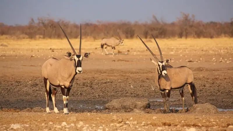
Spend the first night in Windhoek so you can pick up the car rested: see where to stay in Windhoek. The next day, the B1 then C38 road to Etosha’s Anderson Gate is fully paved. Stock up on groceries and fuel here, because stations become scarcer afterward (details in our guide on fuel in Namibia).
Compare car rental companies
In the rainy season, choose a 4x4 or a high-clearance SUV: compare offers.
Day 3: Etosha in the green season
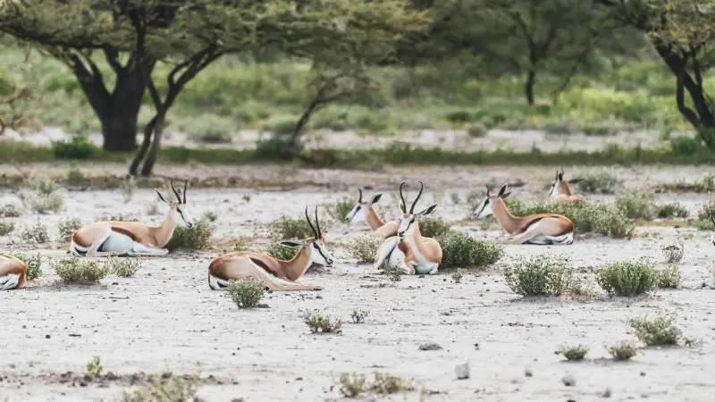
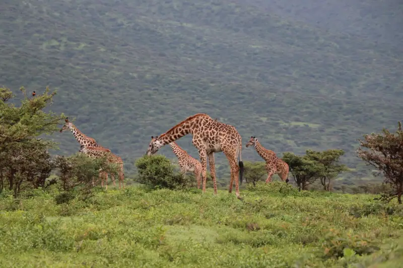
In the park, the main roads are packed gravel or sometimes paved between camps. They generally remain passable, but some secondary loop tracks may be closed by rangers. Follow the signs and camp instructions. The vegetation is tall and the animals dispersed: favor the permanent waterholes and sunrise drives. Our Etosha safari guide details the best time slots, and visiting Etosha gives the park layout.
Guided safari in Etosha
A local guide spots animals better when the vegetation is tall and the waterholes less busy.
Days 4-5: Damaraland and the coast, the stage to watch
This is the part of the itinerary where you need to be most attentive. Between Outjo, Khorixas and Twyfelfontein, the main road remains usable, but the last kilometers to some lodges cross riverbeds. Ask your lodge the day before: it knows whether the crossing is open. If a crossing is under water, wait: the level often drops in a few hours. Never try to cross “just to see”.
Plan B if the Twyfelfontein road is impassable: go straight to the coast via Outjo, Otjiwarongo, then Karibib and Usakos toward Swakopmund, entirely on main roads. You lose the rock engravings but gain safety. Discover the region in visiting Damaraland.
In Swakopmund, fog and cool weather go together all year: the rainy season changes little here, and day 6 serves as a buffer. See where to stay in Swakopmund.
Hotels in Swakopmund
A buffer day on the coast absorbs a road delay: book with flexible cancellation.
Days 7-8: Sossusvlei, surprisingly reliable
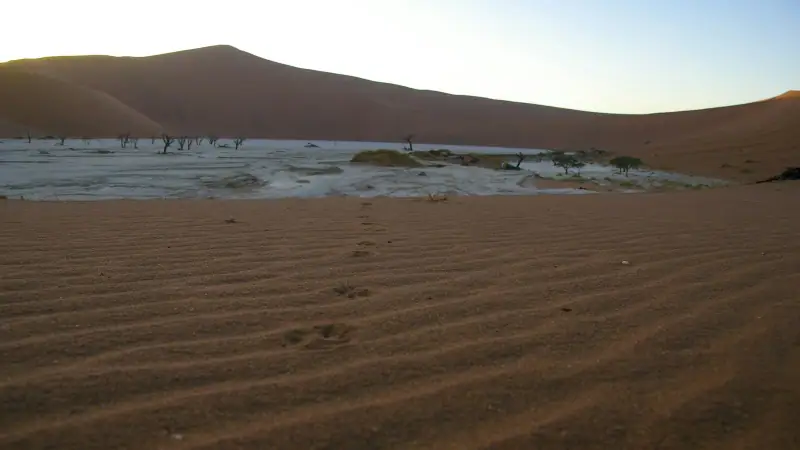
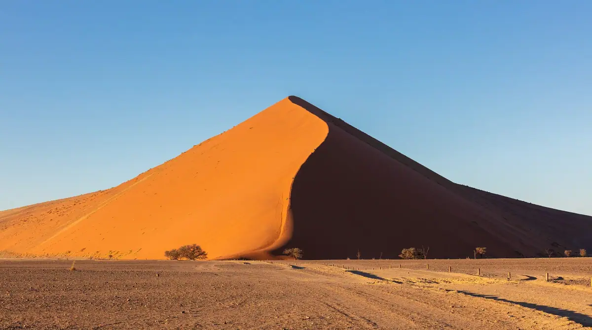
The Namib is one of the regions least affected by rain. The C14 track between Walvis Bay and Sesriem can nevertheless be damaged after a storm, notably at river crossings like the Kuiseb. Check before you leave. The 60 paved kilometers (37 mi) between Sesriem and the dune parking lot (the last 5 km / 3 mi in sand are covered by shuttle or 4x4) are no problem. The heat is intense in January and February: leave when the gate opens and protect yourself from the sun. Our guide visiting Sossusvlei explains the order of the dunes.
Days 9-10: back to Windhoek
From Sesriem, the road over the passes (Spreetshoogte or Remhoogte) is spectacular but gravel and more sensitive to rain. If the weather is uncertain, take the road via Solitaire and Rehoboth, longer but simpler, and plan to leave early. Keep a 3- to 4-hour margin before your international flight.
What to bring for the rainy season
The equipment changes little, but two things make a difference: rain protection that fits in your bag, and real sun protection for the clear spells.
A light rain can surprise you during a game drive in an open vehicle or at a photo stop. Between two showers, the sun stays intense.
Add repellent and long clothes for the evening. For health preparation in the north, ask your doctor or a travel clinic, and see the official travel health pages (CDC in the US, TravelHealthPro in the UK). Also consider travel insurance with assistance.
Safety rules to remember
- Do not drive at night: animals on the road and reduced visibility.
- Never cross water whose bottom you cannot see.
- Plan a buffer day every 4 to 5 days of driving.
- Fill the tank as soon as it drops below half: a forced detour uses fuel.
- Download offline maps and tell your lodge your arrival time.
For a more classic base in the dry season, compare with our Namibia road trip guide or the 10-day itinerary.
Weather and road-condition information changes quickly: always check with your rental company, your lodge and the road authorities before each stage.
Frequently asked questions
Can you do a road trip in Namibia in February?
Yes. February is in the middle of the rainy season, but the rain mostly falls as short, intense late-day showers. The road trip remains feasible provided you favor paved roads, plan buffer days and rent a high-clearance vehicle, ideally a 4x4.
Which roads are riskiest after rain?
Secondary gravel or dirt tracks, crossings of dry rivers ("omuramba" rivers and the riverbeds of Damaraland) and the tracks of Kaokoland. A dry riverbed can fill in a few hours: never cross a section under water whose depth you cannot see.
Do you need a 4x4 in the rainy season?
It is not mandatory for the itinerary proposed here, which stays largely on tarmac and maintained main tracks. A 4x4 or high-clearance SUV still gives a real safety margin on soaked gravel and lodge tracks. Rental companies may also refuse certain tracks depending on terrain conditions.
Are Etosha safaris worthwhile in the rainy season?
They are different. Animals disperse because water is available everywhere: waterholes are less busy than in the dry season, the vegetation is tall and watching takes more patience. In return, the park is quieter, the landscapes are green and it is the birthing period for many herbivores.
Should you worry about malaria at this time of year?
A risk is reported in the north of the country (Etosha, the Zambezi region, the former Caprivi) and it is higher in the rainy season. Ask your doctor or a travel clinic, and see the official travel health pages (CDC in the US, TravelHealthPro in the UK). Pack repellent and long clothes for the evening.
How do you check road conditions each morning before leaving?
Ask your lodge reception, which knows the local roads, check the information from the Namibian Roads Authority and call your rental company if in doubt. Never rely on a single GPS: it ignores closures due to rain.
More Namibia guides
Keep reading
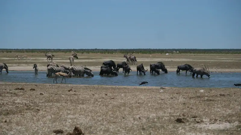
Where to stay in Etosha: NWR camps, lodges and practical tips
Choose where to stay in Etosha: official Okaukuejo, Halali and Namutoni camps or lodges outside the park. Budget, booking and safari tips.
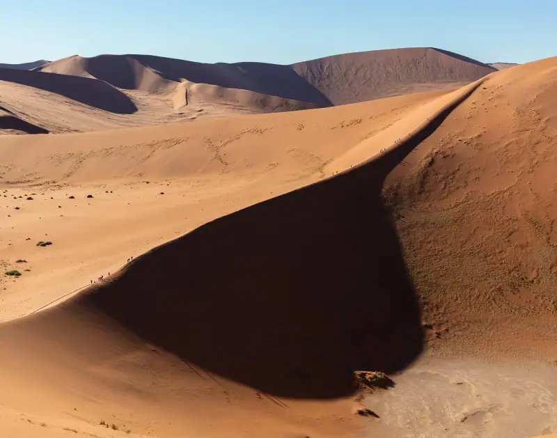
Best time to visit Namibia: a month-by-month guide
When to go to Namibia? Climate, seasons, wildlife and month-by-month advice to choose the best time for what you want to do.
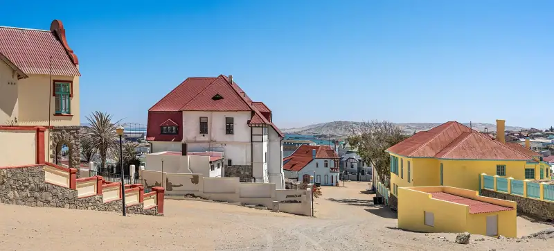
What to do in Lüderitz: activities and must-see visits
Kolmanskop, penguins at Halifax Island, Bogenfels, diving, flamingos: a complete guide to things to do in Lüderitz, Namibia's southern colonial gem.
Ready-made
Namibia itineraries
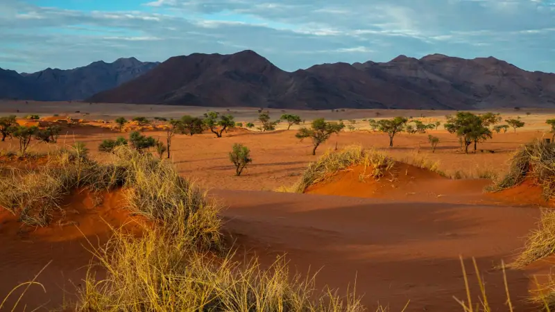
10 days
Namibia in 10 days without a car: a realistic itinerary by shuttle and transfer
WindhoekEtoshaDamaralandSwakopmundSesriem / SossusvleiWindhoek

21 days
Namibia road trip: a complete 2 to 3 week 4x4 itinerary
WindhoekSossusvlei / Namib-NaukluftSwakopmund / Walvis BayDamaraland / SpitzkoppeTwyfelfonteinSkeleton Coast, southern partEtoshaWaterberg PlateauFish River CanyonLüderitz and return to Windhoek