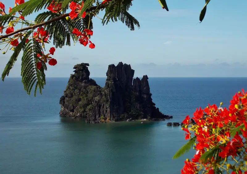
Is Hienghène Worth the Detour? Poule Couveuse, Lindéralique and Tao Falls
Is Hienghène worth the detour? Poule couveuse, Lindéralique, Tao Falls, Ouaïème ferry, getting there from Nouméa, where to sleep and how long to stay.
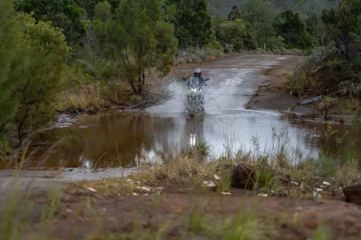
Lagoon, red earth & islands · France (Pacific)
Nouméa, the Great South's red earth and lakes, the west coast road, the Isle of Pines and the Loyalty Islands, around a vast lagoon.
We may earn a commission when you book through links on this page, at no extra cost to you. We don't visit or try the places we cover: we summarize published sources. How we work
New Caledonia at a glance: 4 itineraries from 3 to 10 days; our trip planner works with 6 stops, and its 10-day sample trip adds up to about 7 h of driving, the longest leg being Yaté to La Foa (2 h 30); arrival airports in the planner: La Tontouta International Airport (NOU); 14 guides answer the other questions.
Guides
Is Hienghène worth the detour? Poule couveuse, Lindéralique, Tao Falls, Ouaïème ferry, getting there from Nouméa, where to sleep and how long to stay.
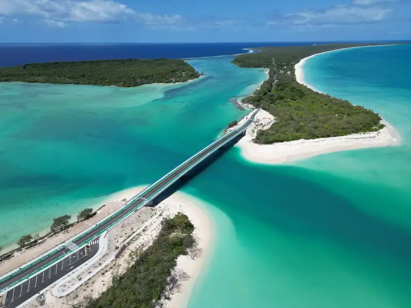
Complete guide to visiting New Caledonia: regions, highlights, when to go, flights, getting around, lodging and budget, with links to detailed guides.
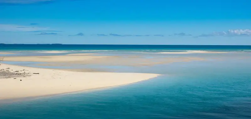
Lifou, Maré or Ouvéa? Compare the three Loyalty Islands: landscapes, beaches, Kanak culture, access from Nouméa and tips for organizing your stay.
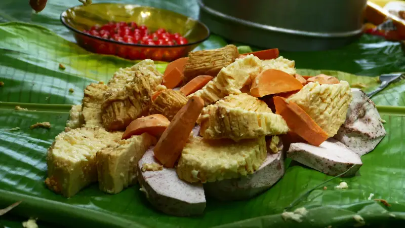
Discover Kanak culture when you travel: custom, the welcome gesture, the hut, yam, the Tjibaou Cultural Center and tips for visiting tribes respectfully.
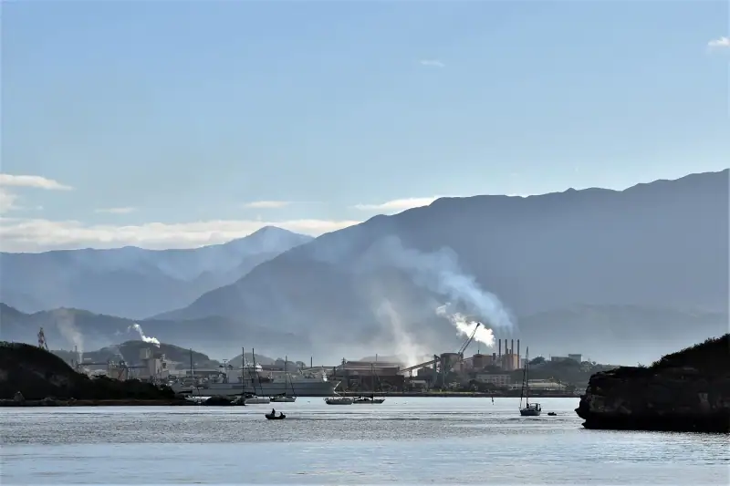
What to do in Nouméa: Baie des Citrons, Anse Vata, Tjibaou Cultural Center, Port Market, lagoon islets. Plan 2 or 3 days in the capital.
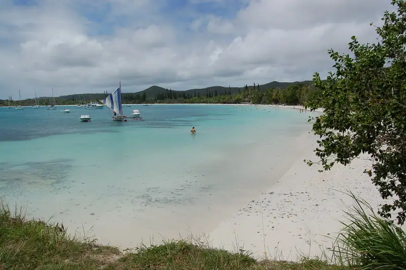
What to do on the Isle of Pines? Oro Bay, Kuto Bay, Pic N'Ga, penal colony ruins: a guide to organizing your stay on the jewel of southern Caledonia.
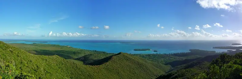
When to go to New Caledonia? Cool season, hot season, cyclones, humpback whales: a month-by-month guide to choosing the best time.
How much to budget for New Caledonia? Flight, lodging, car, meals, activities: three sample budgets and tips to spend less.
Tribal guesthouse, seaside bungalow or campsite: compare lodging outside Nouméa in New Caledonia, with booking tips and the customary gesture.
Kuto, Kanumera or Oro Bay: which area to stay in on the Isle of Pines? Hotels, guesthouses and campsites compared by budget and getting around.
Anse Vata, Baie des Citrons, downtown or Val Plaisant: compare Nouméa neighborhoods to choose where to stay by budget and travel style.
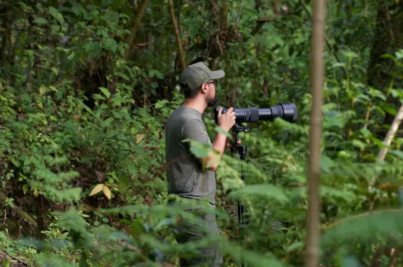
Humpback whales, green turtles, dugongs, kagu: where and when to watch New Caledonia's wildlife, with the rules to follow so as not to disturb it.
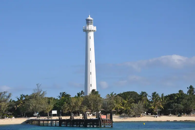
Snorkeling at Canard Islet, turtles at Amédée Islet, Oro's natural pool, the Loyalty Islands: tips for exploring the New Caledonian lagoon.
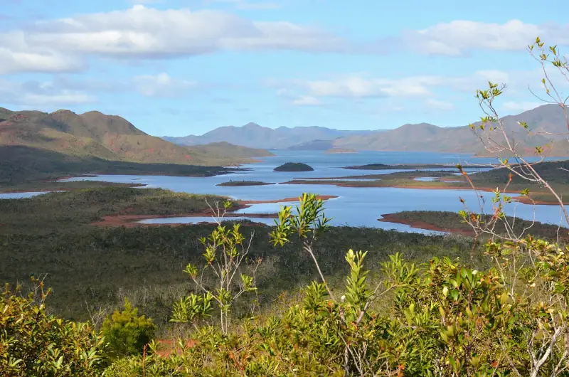
Rivière Bleue Park: getting there from Nouméa, trails, the giant kauri, kagus, swimming and tips for a nature day in New Caledonia's Grand Sud.
Itineraries
Full articles, with the days in order and where to sleep.
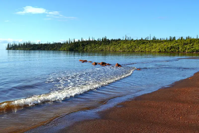
3 days
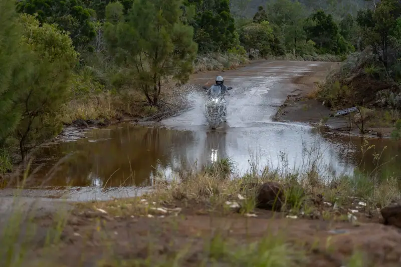
3-day Grand Sud itinerary from Nouméa: Rivière Bleue, Yaté Lake, Madeleine Falls, Port-Boisé, with practical tips.
4 days
BourailKoné
7 days
NouméaIsle of Pines
10 days
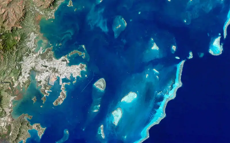
A 10-day New Caledonia itinerary: Nouméa, Grand Sud, West Coast, Hienghène, then the Isle of Pines or Lifou, with pacing and budget tips.
| Jan | Feb | Mar | Apr | May | Jun | Jul | Aug | Sep | Oct | Nov | Dec | |
|---|---|---|---|---|---|---|---|---|---|---|---|---|
| High °F (°C) | 8127 | 8127 | 8127 | 7926 | 7524 | 7323 | 7222 | 7222 | 7222 | 7323 | 7524 | 7926 |
| Low °F (°C) | 7725 | 7926 | 7725 | 7524 | 7323 | 7222 | 6820 | 6820 | 7021 | 7222 | 7323 | 7524 |
| Rain in (mm) | 4.1105 | 4.1105 | 5.9150 | 3.9100 | 3.590 | 3.385 | 2.870 | 2.460 | 1.640 | 1.435 | 2.460 | 3.075 |
Normals 1991–2020 at Nouméa: averages over 30 years, not a forecast. Source: NASA POWER (MERRA-2), grid of about 50 km. Figures computed by us in November 2026.
Or build your own
Pick your days and your pace. The planner orders the stops, divides up the nights and gives the real drive times.
A 10-day example: 7 h of travel in total (470 km / 292 mi).
Open the planner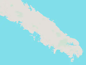
6 stops
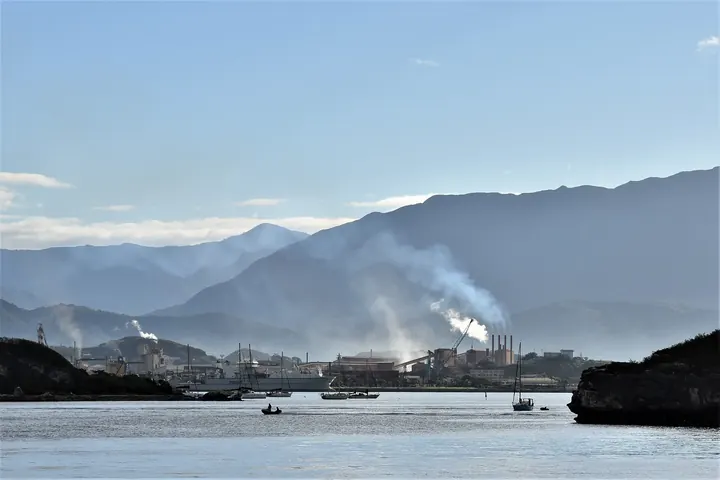 Photo: Ijgordon59 / Wikimedia Commons (CC BY-SA 4.0)
Capital and gateway, 45-50 km (28-31 mi) from La Tontouta airport. Downtown, Port Market, Baie des Citrons, Anse Vata and the Tjibaou Cultural Center.
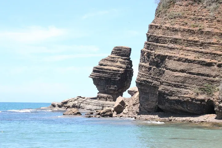 Photo: Biglolo / Wikimedia Commons (CC BY-SA 4.0)
Main stop on the West Coast, about 160 km (99 mi) from Nouméa. Long beaches lined with columnar pines, Roche Percée and Poé beach; guesthouses and bungalows.
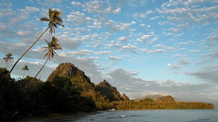 Photo: gérard / Wikimedia Commons (CC BY-SA 2.0)
Green, humid East Coast, about 380 km (236 mi) from Nouméa. Rock formations in the bay, Tao Falls, kayaking and tribal welcome. Plan two nights.
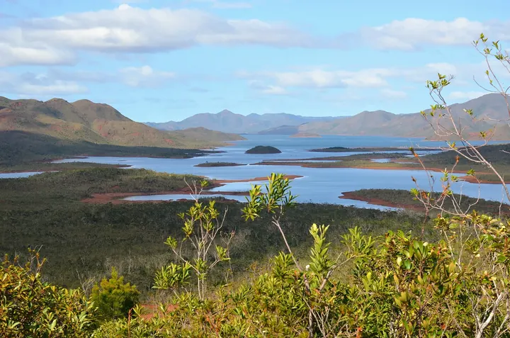 Photo: Asamboi / Wikimedia Commons (CC BY-SA 4.0)
Municipality in the Grand Sud, on the southeast coast, around Yaté Lake and its drowned forest. Base for the Rivière Bleue and the southern tip; modest lodging.
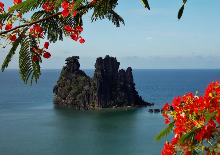 Photo: gérard / Wikimedia Commons (CC BY-SA 2.0)
Hub of the North Province, about 270 km (168 mi) from Nouméa. Shops, gas stations and lodging; start of the cross-island road to the East Coast.
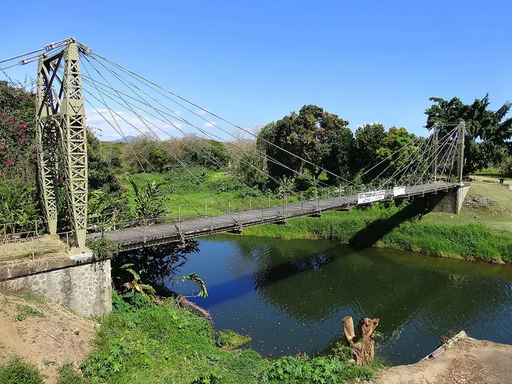 Photo: Thomas Ballandras / Wikimedia Commons (CC BY 2.0)
Rural municipality on the West Coast along the RT1, halfway between Nouméa and Bourail. Mostly a road break, and the start of the bush.
Keep exploring
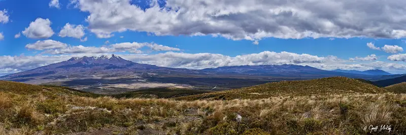
Fiords, glaciers & volcanoes · New Zealand
Volcanoes and geysers in the north, glaciers, lakes and the fiords of Milford Sound in the south, linked by a ferry.
18 guides4 itinerariesTrip planner
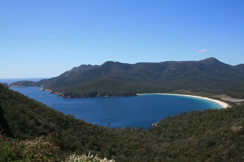
Coast & outback · Australia
Sydney, beaches and rainforest, the Great Barrier Reef and the red heart of the outback.
18 guides4 itinerariesTrip planner
Highlands, festivals & islands · Papua New Guinea
The Highlands of Goroka and Mount Hagen and their festivals, the Sepik, the islands and the coral reefs of Kimbe and Milne Bay.
18 guides3 itineraries