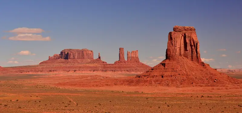
Visiting Monument Valley: buttes, scenic drive and Navajo-guided tours
Plan your Monument Valley visit: scenic drive, Navajo-guided tour, sunrise, Forrest Gump Point, lodging and where it fits in your road trip.
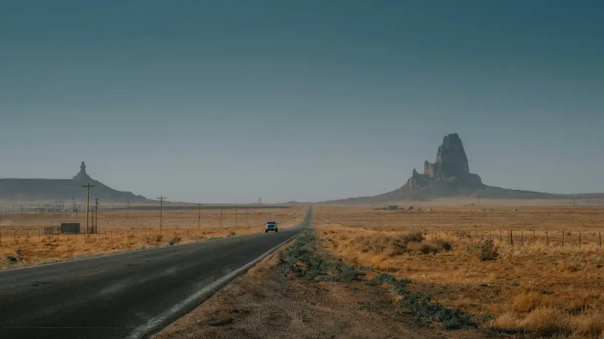
National parks & desert roads · United States
Las Vegas, Zion, Bryce and the Grand Canyon, Monument Valley, Death Valley, Yosemite, San Francisco and Los Angeles.
We may earn a commission when you book through links on this page, at no extra cost to you. We don't visit or try the places we cover: we summarize published sources. How we work
American West at a glance: 4 itineraries from 8 to 15 days; by our climate data, the months with highs of 64 to 82 °F (18 to 28 °C) are March to May, October and November; arrival airports in the planner: Harry Reid International Airport, Las Vegas (LAS), Los Angeles International Airport (LAX), San Francisco International Airport (SFO); 14 guides answer the other questions.
Guides
Plan your Monument Valley visit: scenic drive, Navajo-guided tour, sunrise, Forrest Gump Point, lodging and where it fits in your road trip.
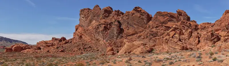
Valley of Fire or Red Rock Canyon from Las Vegas: distance, fees, required reservation, hikes and a verdict based on your half day and profile.
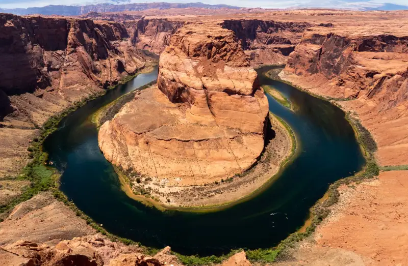
Complete guide to the American West: regions, national parks, cities, when to go, flights, car, lodging and budget to prepare your road trip.
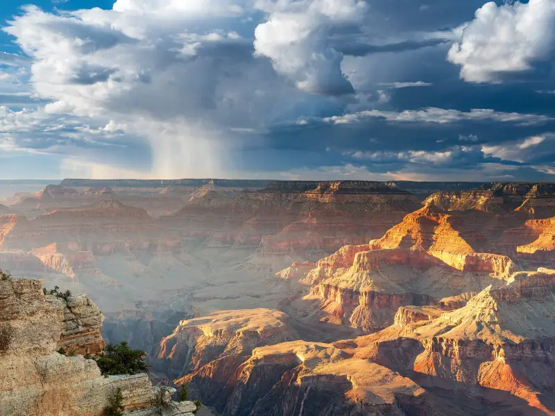
Plan your Grand Canyon South Rim visit: viewpoints, shuttles, Bright Angel and South Kaibab, Desert View Drive, where to stay and the best season.
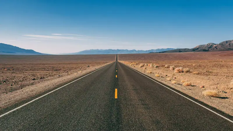
When to go to the American West: Death Valley heat, snow at Bryce, closed roads at Yosemite, crowds. A season comparison for your road trip.
What budget for the American West in 2026? Real costs by item, three priced profiles for 15 days for two and concrete tips to spend less.
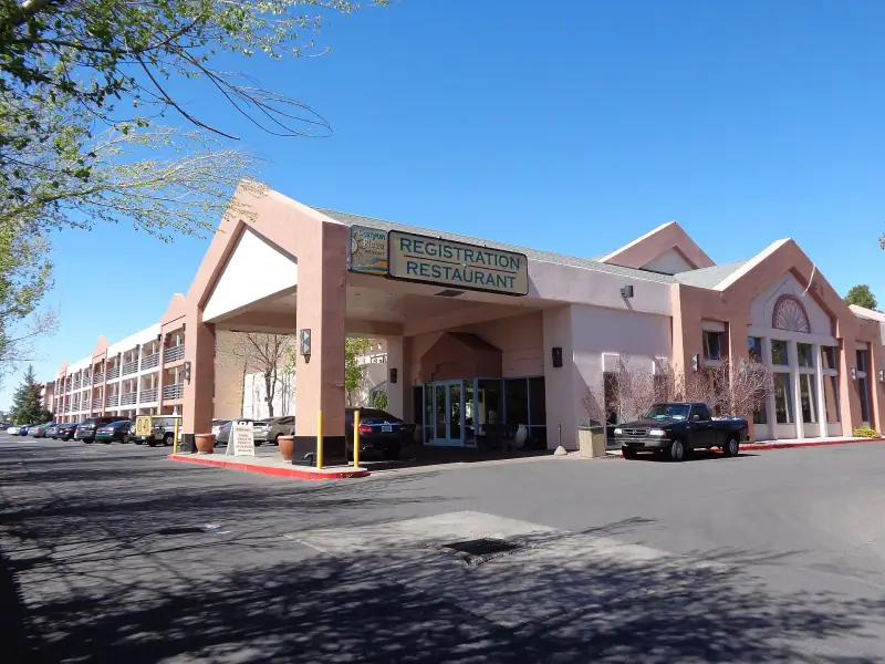
Tusayan, Williams or Flagstaff to stay near the Grand Canyon South Rim? Drive times, budget, atmosphere and pitfalls: a comparison to choose your base.
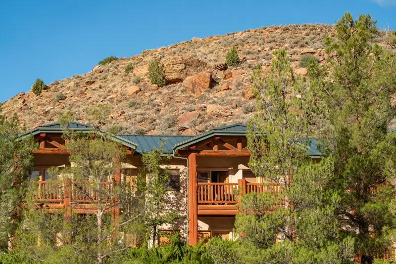
Where to stay in the American West? Springdale, Page, Moab, Tusayan, Las Vegas, Yosemite: tips for choosing the right base and booking at the right time.

Strip, Downtown or the outskirts: how to choose your Las Vegas hotel, understand resort fees and parking, and fit the right night into a road trip.
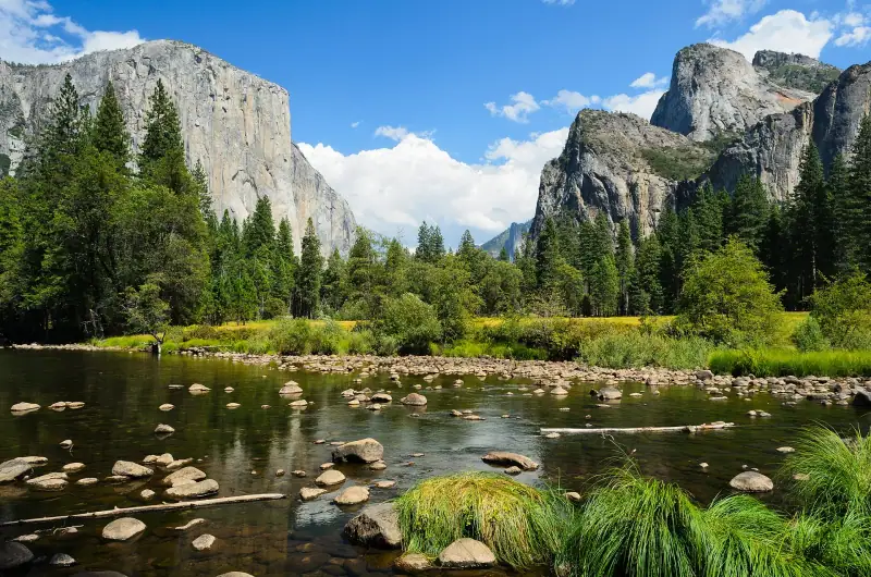
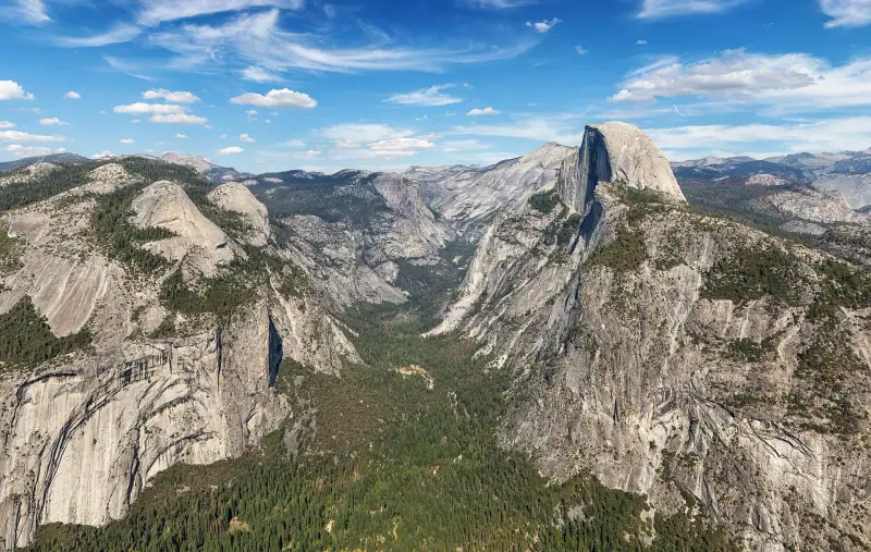
Plan your Yosemite visit: valley, El Capitan, Yosemite Falls, Glacier Point, Mariposa Grove, Tioga Road, best season and where to stay.
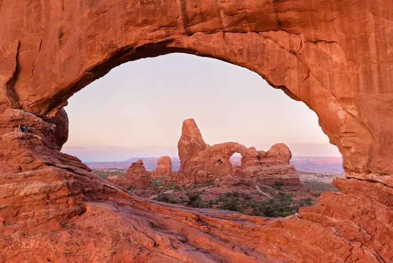
Plan your Arches National Park visit from Moab: Delicate Arch, Windows, Devils Garden, light, heat, where to stay and your road trip.
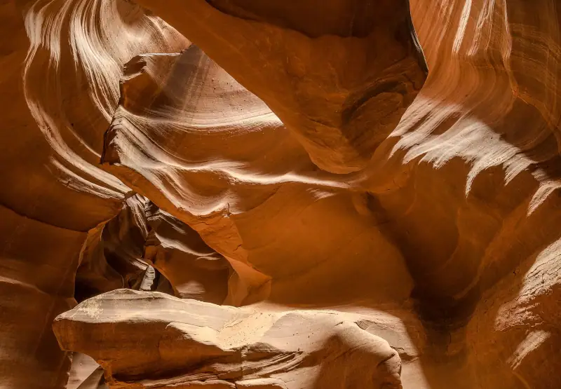
Plan your stop in Page: Antelope Canyon guided tour, Horseshoe Bend overlook, Lake Powell, best season, where to stay and your road trip.
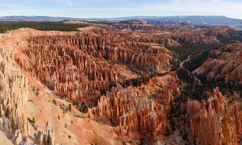
Plan your Bryce Canyon visit: viewpoints, Navajo Loop, Queen's Garden, sunrise, stargazing, where to stay and fitting it into your road trip.
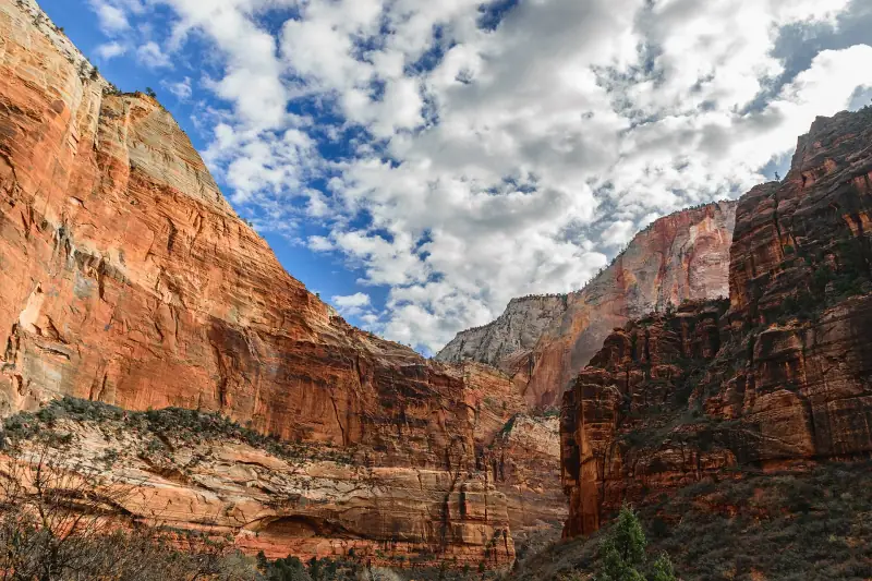
Plan your Zion National Park visit: shuttle, Angels Landing, The Narrows, Observation Point, where to stay in Springdale and the best season for hiking.
Itineraries
Full articles, with the days in order and where to sleep.
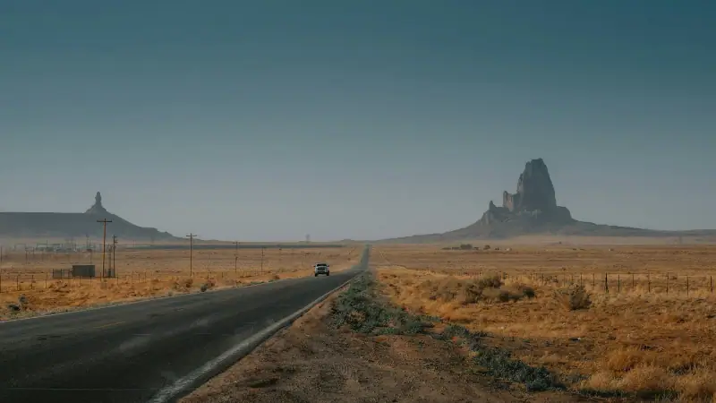
8 days
Las VegasSpringdaleBryce CanyonPageGrand Canyon South Rim
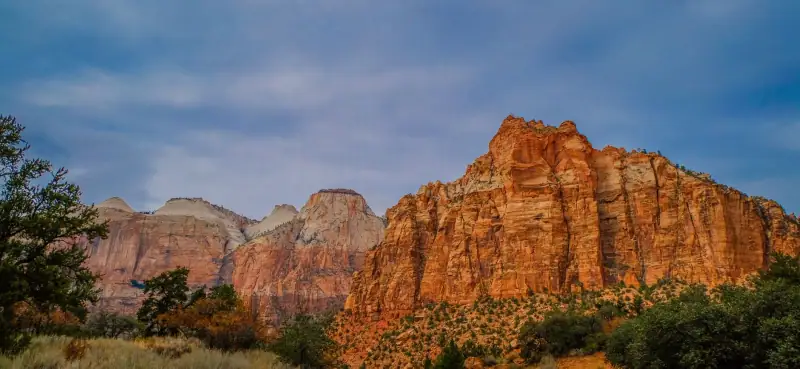
8 days
Las VegasSpringdaleBryce CanyonPageGrand Canyon South RimLas Vegas
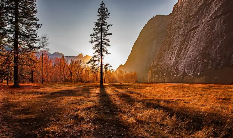
9 days
San FranciscoYosemiteLee ViningLone PineDeath ValleyLas Vegas
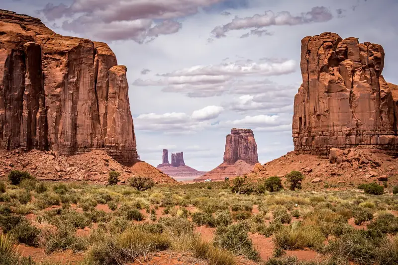
15 days
Las VegasSpringdaleBryce CanyonPageMonument ValleyGrand Canyon South RimLas VegasDeath ValleyYosemiteSan FranciscoMonterey and Big Sur
| Jan | Feb | Mar | Apr | May | Jun | Jul | Aug | Sep | Oct | Nov | Dec | |
|---|---|---|---|---|---|---|---|---|---|---|---|---|
| Las Vegas | ||||||||||||
| High °F (°C) | 5915 | 6317 | 7021 | 7926 | 9032 | 10038 | 10440 | 10239 | 9535 | 8228 | 6820 | 5714 |
| Low °F (°C) | 362 | 394 | 457 | 5010 | 5915 | 7021 | 7725 | 7725 | 6820 | 5513 | 436 | 362 |
| San Francisco | ||||||||||||
| High °F (°C) | 5513 | 5714 | 6116 | 6317 | 6619 | 7222 | 7323 | 7323 | 7524 | 7222 | 6317 | 5714 |
| Low °F (°C) | 436 | 457 | 468 | 468 | 5010 | 5211 | 5412 | 5513 | 5513 | 5412 | 489 | 436 |
| Rain in (mm) | 4.7120 | 4.5115 | 3.385 | 1.640 | 0.820 | 0.25 | 0.00 | 0.00 | 0.25 | 1.230 | 2.665 | 4.9125 |
Normals 1991–2020 at Las Vegas and San Francisco: averages over 30 years, not a forecast. Source: NASA POWER (MERRA-2), grid of about 50 km. Figures computed by us in November 2026. Rain is shown only where a weather station confirms the figures.
Or build your own
Pick your days and your pace. The planner orders the stops, divides up the nights and gives the real drive times.
A 10-day example: 5 h 35 of travel in total (472 km / 293 mi).
Open the planner
13 stops
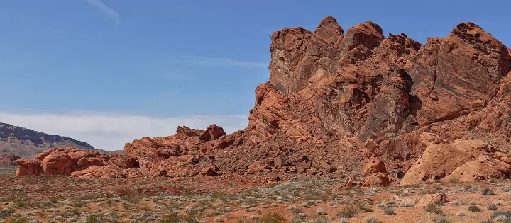 Photo: The Cosmonaut / Wikimedia Commons (CC BY-SA 2.5 ca)
Gateway to the loop: frequent flights, rental cars at the airport, hotels for every budget. Strip or Downtown, watch out for resort fees.
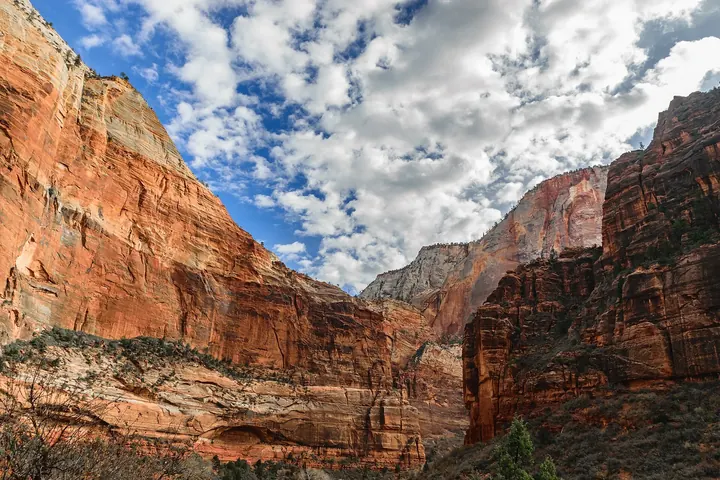 Photo: TerryDOtt / Wikimedia Commons (CC BY 2.0)
Village at the south entrance of Zion National Park, an ideal base for the shuttles and hikes. Rooms fill up early in spring and fall.
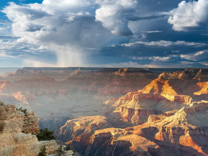 Photo: Romain Guy from San Francisco, USA / Wikimedia Commons (CC0)
Village at the south entrance of the Grand Canyon (South Rim, open year-round). Limited lodging: book early, or stay in Williams or Flagstaff.
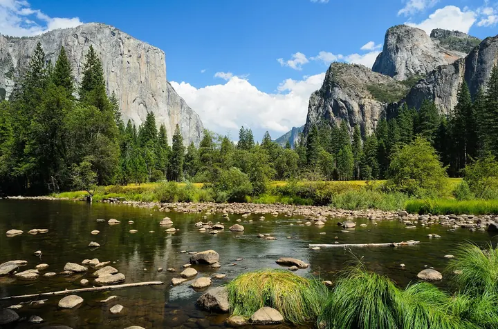 Photo: King of Hearts / Wikimedia Commons (CC BY-SA 3.0)
Waterfalls, granite cliffs and sequoias. Lodging is scarce in the valley and must be booked very far ahead; otherwise stay at the west gates or on the east side.
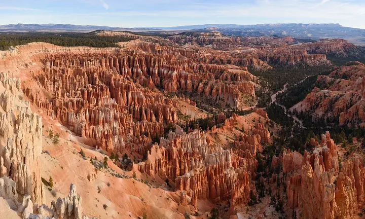 Photo: King of Hearts / Wikimedia Commons (CC BY-SA 4.0)
Amphitheater of hoodoos at over 7,900 ft (2,400 m) elevation: nights are cool there, even in summer. Sunrise is especially beautiful.
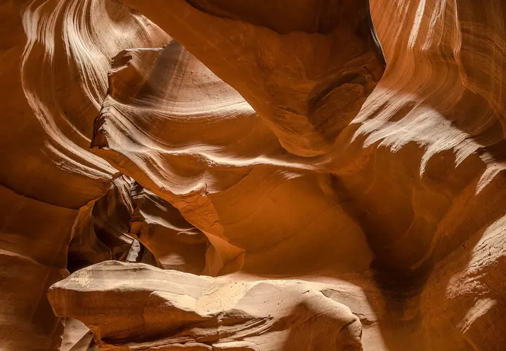 Photo: Tuxyso / Wikimedia Commons (CC BY-SA 3.0)
Natural base for Horseshoe Bend, Antelope Canyon (guided tour required, book ahead) and Lake Powell.
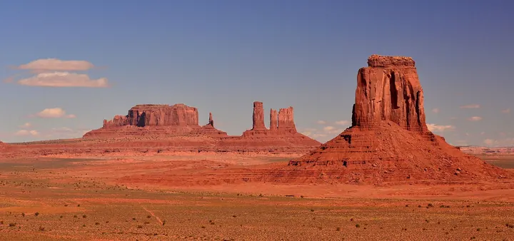 Photo: Mike McBey / Wikimedia Commons (CC BY 2.0)
Navajo tribal park with its own entrance fee (the national parks pass is not valid there). Stay at The View, Goulding's, Kayenta or Mexican Hat.
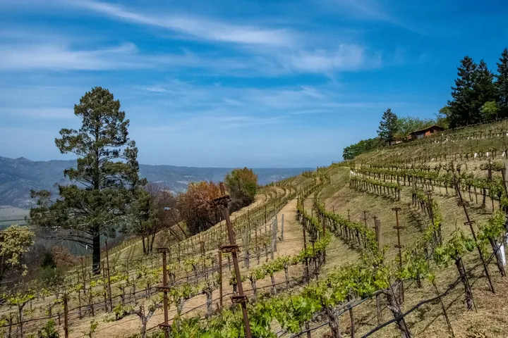 Photo: Kelsey / Pexels
A city best visited on foot and by public transit; fog is frequent, even in summer. Parking is expensive and car break-ins are frequent.
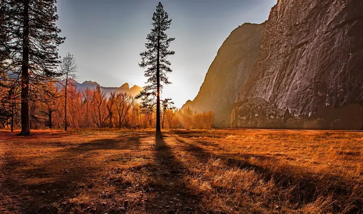 Photo: Rennett Stowe from USA / Wikimedia Commons (CC BY 2.0)
Very little lodging, in the center of the park at Furnace Creek; extreme heat in summer, very limited cell coverage. Fill up on water and gas.
 Photo: Documerica / Unsplash
Usual end of the loop: about 6 h of driving from Big Sur. Arrive early enough to return the car (fees for a one-way rental).
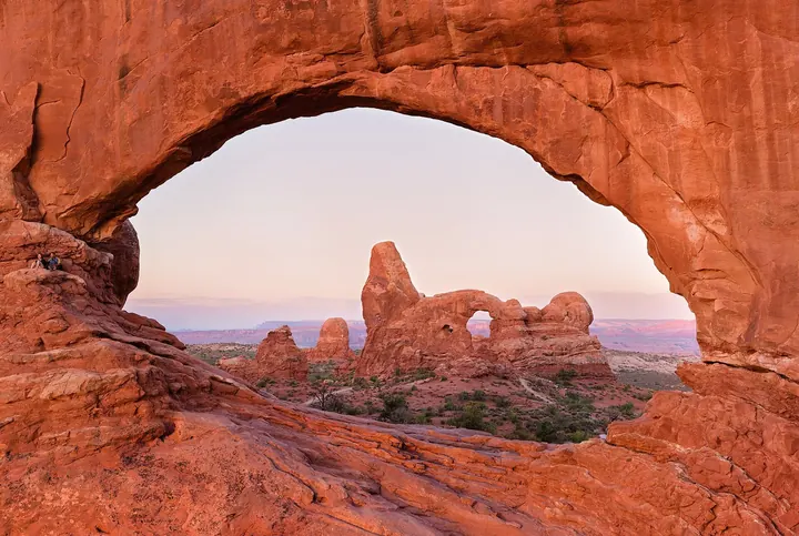 Photo: Thomas Wolf, www.foto-tw.de / Wikimedia Commons (CC BY-SA 3.0)
Base for Arches and Canyonlands: Arches National Park is a few miles from town. A hub for mountain biking and outdoor activities.
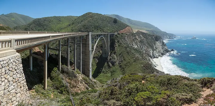 Photo: Diliff / Wikimedia Commons (CC BY-SA 3.0)
Stop on the Pacific coast, about 3 h from San Francisco. Highway 1 toward Big Sur has had closures because of landslides.
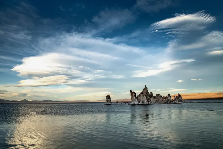 Photo: Stephen Leonardi / Pexels
Small village on the shore of Mono Lake and its tufas, at the foot of the Tioga Pass road. Simple lodging, often motels.
Keep exploring
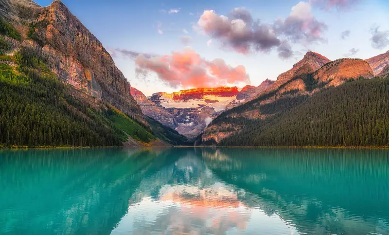
Rockies, coasts & cities · Canada
Banff, Lake Louise and the Icefields Parkway to Jasper, Vancouver and its island, Toronto and Niagara, and the Cabot Trail in Nova Scotia.
18 guides5 itinerariesTrip planner
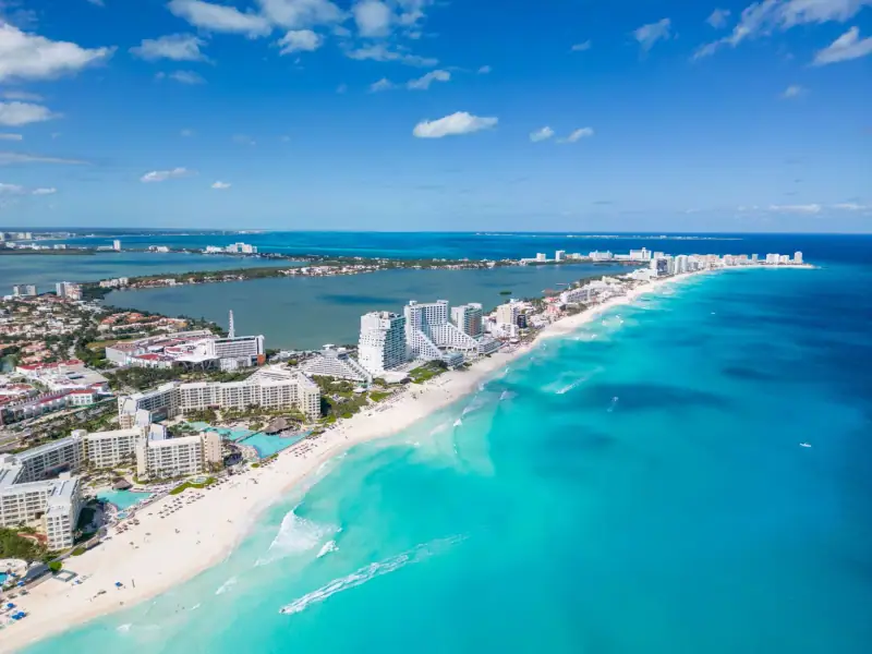
Yucatán & beyond · Mexico
Mayan ruins, cenotes and colonial towns, from the Yucatán Peninsula to the highlands.
18 guides4 itinerariesTrip planner
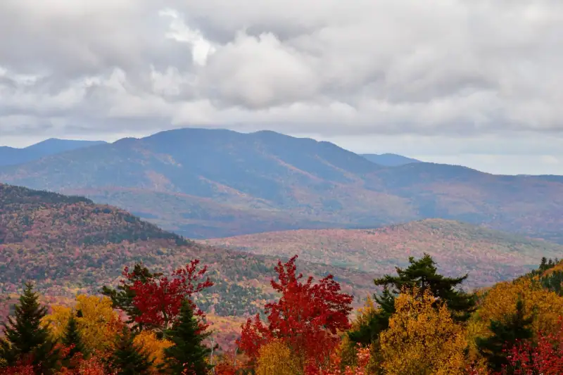
Big cities & New England · United States
New York, Boston, Philadelphia and Washington, New England's fall colors in Vermont and New Hampshire, and Florida.
18 guides5 itinerariesTrip planner