Itineraries
Basse-Terre road trip in 3 days: volcano, waterfalls and the leeward coast
We may earn a commission when you book through links on this page, at no extra cost to you. We don't visit or try the places we cover: we summarize published sources. How we work
Day by day
- Day 1La Soufrière climb, then Carbet Falls on the windward side
- Day 2Basse-Terre town, coast road to Bouillante, Malendure and Pigeon Island
- Day 3Deshaies, then the Route de la Traversée
Where to sleep
- Southern Basse-Terre (Capesterre-Belle-Eau or Saint-Claude)1 night
- Leeward coast (Bouillante or Deshaies)2 nights
In short
- Three days cover the La Soufrière volcano and Carbet Falls (day 1), the leeward coast and the Cousteau Reserve (day 2), and Deshaies and the Route de la Traversée (day 3).
- A rental car is essential: the sites are scattered and the roads are slow, so always leave a margin.
- Two bases are enough: southern Basse-Terre for the first night, then Bouillante or Deshaies for the next two.
- Basse-Terre stays very wet all year, and a light rain jacket is essential even in the dry season (December to May).
Basse-Terre is the western wing of the Guadeloupe butterfly, and the wilder one: a volcanic mountain chain covered in rainforest, rivers that tumble down in waterfalls, and a sheltered west coast where the sea is calm. A 3-day road trip in Basse-Terre lets you taste the essentials without rushing, as long as you accept one simple rule: distances are short here, but the roads are slow. Bends, villages to cross, sudden rain, traffic around Basse-Terre town and Pointe-à-Pitre: always leave a margin.
This itinerary is designed as a loop, starting from Pointe-à-Pitre airport. It complements our 7-day itinerary in Guadeloupe, which splits the stay between the two wings of the archipelago. If your stay is longer, you can slot these three days into the middle of your trip. To choose your dates, see also our guide on the best time to visit Guadeloupe.
The three days at a glance
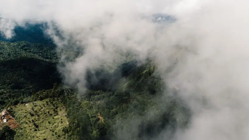
- Day 1: southeast Basse-Terre, between La Soufrière and the Carbet Falls.
- Day 2: the leeward coast, from Basse-Terre town to Bouillante, then the Cousteau Reserve.
- Day 3: Deshaies, then the Route de la Traversée and its forest trails.
The stops follow one another clockwise. Each day has one main activity, one secondary stop and free time for a swim, a break or an unplanned detour.
Before you go: car, weather and organization
A car is essential. Basse-Terre’s natural sites are scattered and often at the end of minor roads. Compare rental companies in the car rental box at the bottom of the page; book early in high season, as the fleet is limited.
The weather changes fast. The relief stops the clouds carried by the trade winds: the eastern, “windward” side gets much more rain than the west coast. It can be bright sun on the beach and pouring rain twenty minutes away in the forest. Start early for hikes: the morning is generally clearer.
Fill up and carry cash. Gas stations and ATMs become rare once you leave the coast. Also keep water and a few snacks in the car for the trails.
Shoes and clothing. Closed hiking shoes for the forest, water shoes for the rivers, a swimsuit in the bag, and a light rain jacket. Mosquitoes are present near water: a repellent is useful.
Where to stay? Two bases are enough. The first night is spent in southern Basse-Terre, around Capesterre-Belle-Eau or Saint-Claude, to be close to the volcano and the waterfalls. The next two are spent on the leeward coast, around Bouillante or Deshaies. The details of each area are in where to stay in Guadeloupe.
Accommodation in Basse-Terre
Compare guesthouses, villas and small hotels near La Soufrière and on the leeward coast.
Day 1: La Soufrière and the Carbet Falls
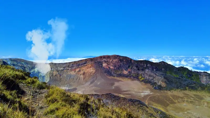
The first day is the most physical, and it plays out on the wettest side: better to do it first, while you are fresh and the weather is still an open bet.
Morning: the climb to the volcano
La Soufrière is an active volcano and the highest point of the Lesser Antilles, at about 1,460 m (4,790 ft). The most popular trail starts in the Saint-Claude area, a short distance from the Bains Jaunes. It is marked, but the ground can be slippery, the wind cool and the summit often in the clouds. Allow several hours round trip.
A few common-sense rules: start early, bring water and a warm layer, stay on the trail and follow the posted instructions about sulfur fumes. Before you go, check with the Guadeloupe National Park that access is not restricted because of volcanic activity. Our full guide to hiking La Soufrière covers the route, walking times and precautions.
If the weather is thoroughly clouded in, do not force it: the view from the top is not worth it in fog. Swap the climb for a shorter walk in the forest and save La Soufrière for another time.
Afternoon: the waterfalls of the windward side
Then head down to the eastern side, around Capesterre-Belle-Eau, where the Carbet Falls are found, among the island’s most famous waterfalls. Access to each fall is by trails whose condition varies with the seasons and the weather, and some sections may be closed. Ask locally before choosing your route: our article on the Carbet Falls and the most beautiful waterfalls helps you choose according to your level.
Keep a margin before nightfall, which comes early in the tropics, and do not set out on a forest trail late in the day.
Guided hikes in Basse-Terre
Prefer not to walk alone? Compare the guided outings in the national park.
Day 2: the leeward coast, from Basse-Terre to Malendure
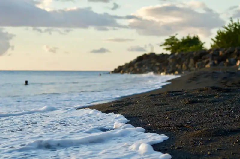
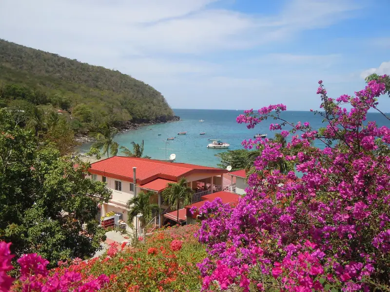
The second day completely changes the mood. You leave the wet forest for a road that runs along the Caribbean Sea, its fishing villages and its darker volcanic-sand beaches.
Basse-Terre town and its fort
Heading northwest, make a first stop in Basse-Terre town, the prefecture of Guadeloupe despite its small size. Fort Delgrès, a fortification overlooking the town and the sea, is the most obvious visit: you will learn about its military history and the history of the resistance to the restoration of slavery. Check the opening hours before you go, as they vary by season.
The coast road to Bouillante
Then continue north. The road runs along the shoreline and crosses several towns; it is winding, slowed by villages, and you should allow more time than the GPS suggests. Several viewpoints and coves let you stop for a swim or a coffee break. Coffee and cocoa plantations are found in this area and some offer visits: ask locally which ones are open.
Bouillante owes its name to its volcanic hot springs and the water that bubbles along the shore. It is above all the access point to the Cousteau Reserve, facing Pigeon Island.
Cousteau Reserve and Pigeon Island
Malendure beach is the departure point for glass-bottom boats, dive trips and snorkeling excursions to Pigeon Island. Even without diving, a mask and snorkel are enough to see tropical fish near the shore. Compare the offers there, check sea conditions and choose a licensed operator. All the practical tips, including for beginners, are in our article on diving and snorkeling in the Cousteau Reserve.
Then rest: late afternoon is ideal for a sunset over the Caribbean Sea from a beach on the coast. Spend the night in Bouillante or push on to Deshaies if you want to shorten the next day.
Day 3: Deshaies and the Route de la Traversée
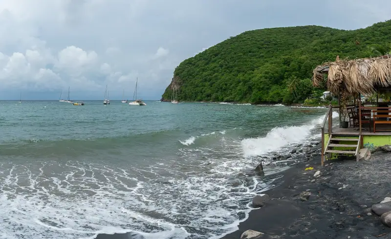
The last day combines a postcard village and the crossing of the forest, from the northwest toward the center of Basse-Terre.
Morning: Deshaies
Deshaies is a fishing village set at the head of a bay lined with coconut palms. In the morning the light is beautiful and the village still quiet. The botanical garden of Deshaies, laid out on the heights, offers a shaded walk among tropical plants, with a panorama over the bay. Check the opening hours before you go.
For a swim, the big Grande Anse beach, with golden sand, is one of the most pleasant on the west coast. Currents are stronger on some days: follow the flags and local instructions. If you like local specialties, a lunch of fish or Creole food in the village is a good way to take a break; our article on Creole cuisine specialties helps you choose.
Afternoon: the Route de la Traversée
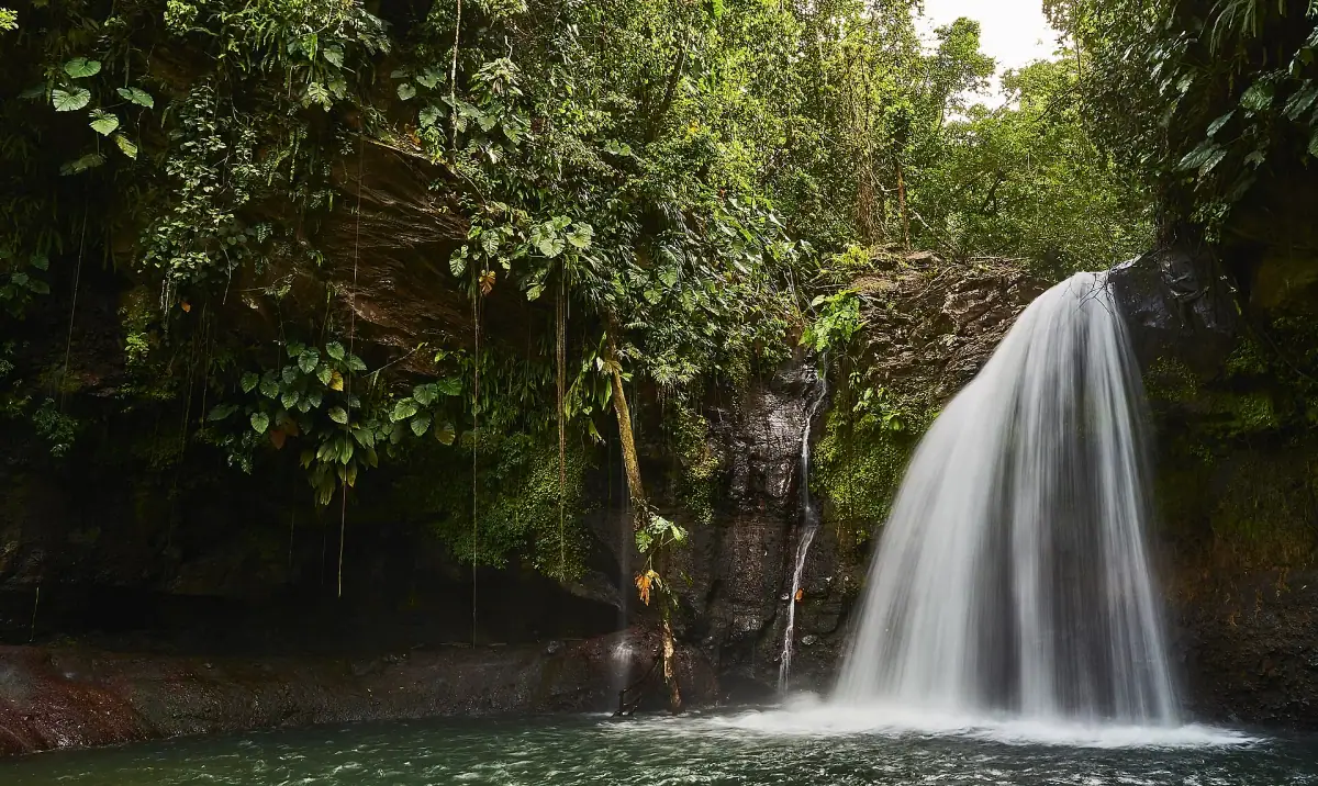
The Route de la Traversée cuts Basse-Terre from east to west, through the middle of the national park. It winds through the rainforest, with several stops reachable on foot: a short hike leads to a waterfall known as the Cascade aux Écrevisses, reached from the roadside by a short trail. The Maison de la Forêt, the Park’s information point, is a useful stop to get maps and learn the condition of the trails.
Allow part of the afternoon to cross the forest without hurrying, make two or three stops and enjoy the damp, mossy atmosphere of the undergrowth. The road then comes out near Petit-Bourg, from where it is easy to reach the airport or Pointe-à-Pitre at the end of the day.
If you have a flight the same evening, do not schedule the Route de la Traversée as the last stop: a storm or a slowdown can be enough to delay your return. In that case, swap days 2 and 3 and keep a short drive for the return.
Adapting the road trip to your profile
With family. Replace the La Soufrière climb with a shorter walk in the forest and spend more time on the beaches of the leeward coast. Snorkeling near the shore is accessible to children who are comfortable in the water, with a safety vest.
For hikers. Add a fourth day devoted to the national park trails, away from the busiest sites, starting from the Maison de la Forêt or Saint-Claude.
For divers. Dedicate a full second day to the leeward coast and book your dives with a licensed club.
With little time. Keep day 2 (leeward coast and Cousteau Reserve) and day 3 (Deshaies and the Traversée) and leave La Soufrière for another time. In two days you already see the essentials.
To combine with Grande-Terre. Do this loop at the start of your stay, then spend the following days on the more relaxing beaches of Grande-Terre. Our guide to the most beautiful beaches in Guadeloupe helps you choose.
Budget and logistics
The main expenses of this road trip are car rental, accommodation and sea activities. Gas is paid by the liter at regulated prices; meals can be kept cheaper by favoring markets and roadside restaurants. Our article on the budget for a stay in Guadeloupe details the ranges for three profiles.
For entry requirements: entry rules depend on your passport. Check the official travel advice of your government before you book: travel.state.gov (US), GOV.UK (UK), travel.gc.ca (Canada), Smartraveller (Australia) (checked November 2026). Travel insurance with repatriation cover is a plus if you plan hikes and water activities.
Safety and nature-respect tips
- Hiking: tell someone your route, start early and do not set out on a trail if the rain is heavy. Flash floods are possible in mountain rivers.
- Swimming: on the Atlantic side, swell and currents can be dangerous. Respect the flags.
- Wildlife and plants: do not pick anything, do not take rocks or coral, and do not feed animals. Basse-Terre is protected by the National Park.
- Waste: take away everything you bring. Bins are rare on the trails.
- Car break-ins: do not leave any valuables visible in a vehicle parked at trailhead parking lots.
- Sunscreen: prefer a reef-friendly sunscreen if you swim in the Cousteau Reserve.
Ideas to extend the itinerary
If you have one or two extra days, two options open up. The first is to take a boat to the Saintes from the south coast of Basse-Terre: our guide to visiting the Saintes and Terre-de-Haut details the crossings and visits. The second is to hop over to Marie-Galante, farther southeast, to discover its beaches and distilleries: see our article on Marie-Galante. To finish with a tasting, our tips on rum distilleries will help you choose which to visit.
Excursions in Guadeloupe
Boat trips, guided visits and activities: compare offers for your dates.
This road trip is not a race: it is better to see fewer sites and enjoy them than to tick off a list. In Basse-Terre, the rain, a closed trail or a charming village often make the best memory. Keep a margin, adapt the order of the days to the weather and leave room for the unexpected.
Frequently asked questions
Are three days enough to see Basse-Terre?
Yes for the big classics: the La Soufrière volcano, a waterfall, the Route de la Traversée, the Cousteau Reserve and Deshaies. You will have to give up some long hikes, but the pace stays pleasant if you limit each day to two or three stops.
Which direction should you drive the Basse-Terre loop?
The direction suggested here starts in the southeast (Capesterre, Saint-Claude), heads up the leeward coast, then joins the Route de la Traversée. It puts the volcano hike on the first day, when the clouds are thinnest, and leaves swimming for the end.
Do you have to change hotels every night?
Not necessarily. Two bases are enough: southern Basse-Terre for the first night, then the leeward coast (Bouillante or Deshaies) for the next two. A single base in Deshaies is still possible, with more driving.
What is the best time of year for this road trip?
The dry season, called the Carême, from about December to May, has the most stable days. Basse-Terre stays very wet all year, so a light rain jacket is essential even in the dry season.
Can you do this loop without a car?
It is very difficult. Public transport serves the trails, waterfalls and coves poorly. A rental car is the most practical option, especially for the Route de la Traversée.
Can you swim in the rivers and at the foot of waterfalls?
Often yes, but river conditions change quickly after rain. Ask locally, avoid rivers in flood and follow the instructions posted by the National Park.
More Guadeloupe guides
Keep reading
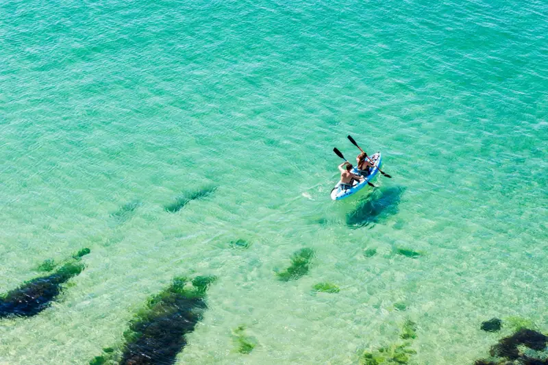
Water sports in Guadeloupe: kayak, kitesurfing, paddleboarding and boat trips
Mangrove kayaking, kitesurfing, paddleboarding, catamaran trips and whale watching: where to do water sports in Guadeloupe, when and with what precautions.
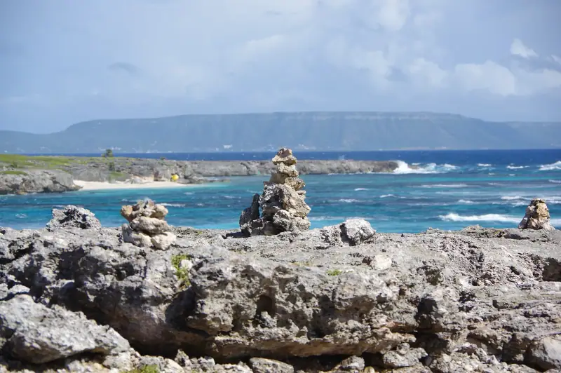
La Désirade in a day from Saint-François: ferry, booking, price and plan
La Désirade in one day: ferry times from Saint-François, booking, rentals on the island, beaches and viewpoints. A realistic plan and mistakes to avoid.
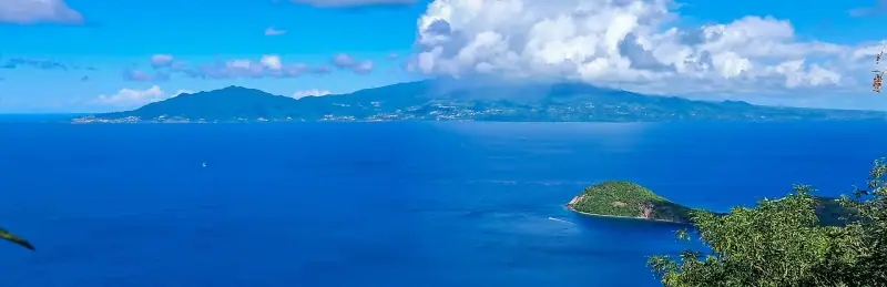
Visiting Les Saintes: what to do on Terre-de-Haut in a day or more
Visiting Les Saintes from Guadeloupe: the crossing, Fort Napoléon, Pain de Sucre, beaches and tips for organizing a day or a weekend on Terre-de-Haut.
Ready-made
Guadeloupe itineraries
3 days
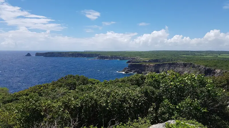
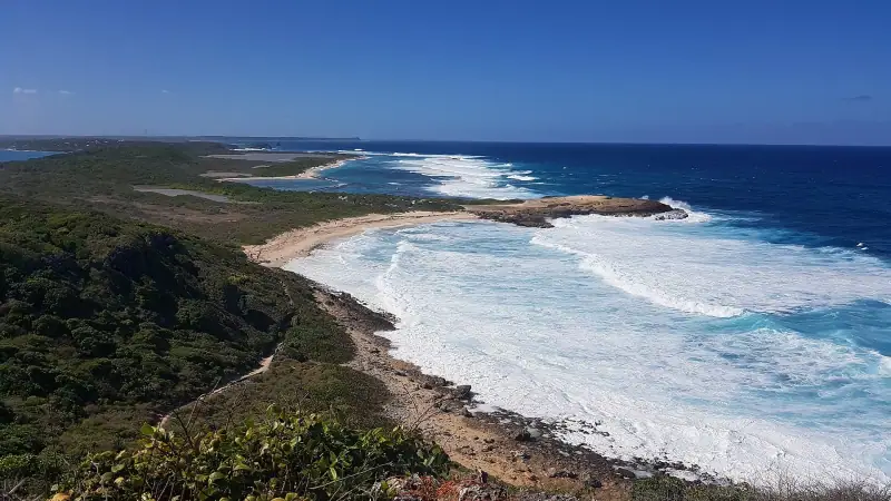
Grande-Terre in 3 days: beaches, cliffs and Pointe des Châteaux
A 3-day itinerary in Grande-Terre: Le Gosier, Sainte-Anne, Saint-François, Pointe des Châteaux, Le Moule and the northern cliffs. Stops, tips and bases.
5 days
Guadeloupe in 5 days without a car: a realistic itinerary
Visiting Guadeloupe without a car in 5 days is possible: a base in Le Gosier or Sainte-Anne, buses, taxis, excursions and the boat to Les Saintes.
7 days
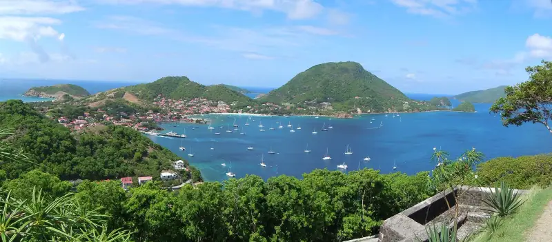
Guadeloupe in 7 days: Grande-Terre, Basse-Terre and Les Saintes
Southern Grande-Terre (Le Gosier, Sainte-Anne or Saint-François)Southern Basse-Terre (Capesterre-Belle-Eau or Saint-Claude)Leeward coast (Bouillante or Deshaies)