Things to do
Hiking La Soufrière: climbing Guadeloupe's volcano
We may earn a commission when you book through links on this page, at no extra cost to you. We don't visit or try the places we cover: we summarize published sources. How we work
In short
- La Soufrière is an active volcano, about 1,460 m (4,790 ft) high, the highest point of Guadeloupe and the Lesser Antilles. Check the alert level and park information before you go.
- The trail starts on the Saint-Claude side, about 1.5 hours by road from Pointe-à-Pitre. A rental car is by far the most practical option.
- Start early: the summit is often in cloud. The dry season (December to May) gives more clear days on average.
- Bring hiking shoes, a waterproof jacket, a warm layer and plenty of water. Access to the park trails is generally free.
You cannot talk about Guadeloupe without mentioning La Soufrière, the volcano that dominates Basse-Terre, the western wing of the archipelago. With its summit at around 1,460 m (4,790 ft), it is the highest point in the Lesser Antilles, and one of the most memorable hikes on the island: high-altitude vegetation, cool winds, the smell of sulfur and fumaroles escaping from the rock.
This guide explains how to organize the La Soufrière hike: where it is, which route to choose, what to bring and how to combine it with the rest of your stay.
La Soufrière, an active volcano in the heart of the national park
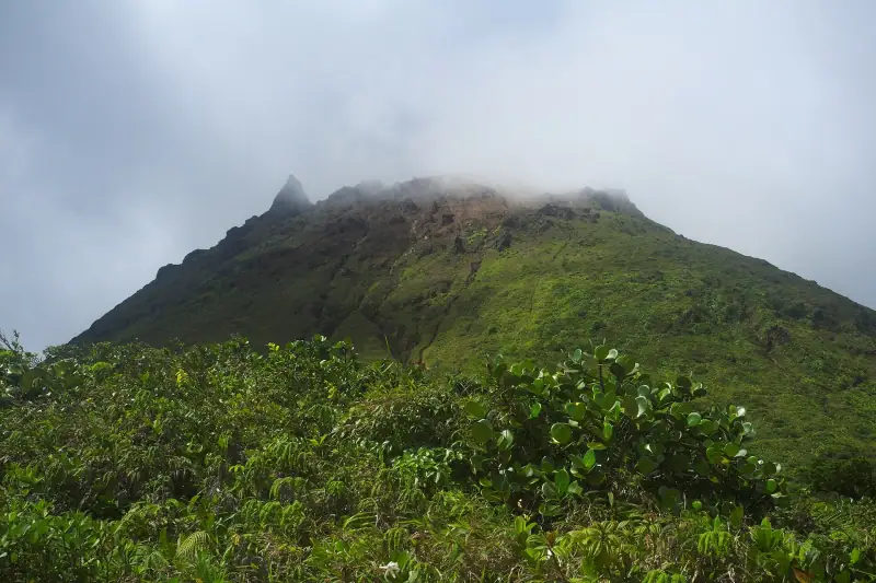
La Soufrière is in the south of Basse-Terre, within the Guadeloupe National Park, which protects a large part of the island’s rainforests, summits and rivers. The volcano belongs to the volcanic chain that runs through Basse-Terre from north to south.
It is an active volcano. Its last major crisis, in 1976-1977, led to the evacuation of tens of thousands of residents of the area. Since then it has been monitored continuously by the Guadeloupe volcanological and seismological observatory, which publishes an alert level you can check online. This should not put you off coming: the hike is open when conditions allow, but you should check the official information before you leave.
The summit is often capped with clouds. Even in fine weather on the coast, it is not unusual to climb in mist, with a cool wind and humidity. That is part of the charm, as long as you prepare for it.
How to get to the trailhead
The hike starts on the Saint-Claude side, in the heights of Basse-Terre. From Pointe-à-Pitre, allow about an hour and a half of driving to reach the starting area, via the main road and then winding mountain roads. A rental car is by far the most practical solution: public transport does not serve the start well.
A few tips for the drive:
- Leave early, ideally to reach the parking lot in the morning: clouds generally build up during the day.
- Fill up the tank before climbing, as gas stations become scarcer at altitude.
- Drive carefully: the roads are narrow, wet and sometimes slippery.
For logistics and insurance, compare rental companies in advance, especially in high season. A vehicle will also be handy for the other sights of Basse-Terre.
Which route to choose to climb La Soufrière
Several routes lead to the summit or its surroundings. The most classic starts from the Savane à Mulets area and takes the trail known as the Chemin des Dames, which climbs gradually to the dome. Another access goes through the Bains Jaunes area, with hot springs and a more forested setting.
- For a first time: favor the classic trail, well marked and busy, where you will meet other hikers.
- For experienced walkers: the climb can be combined with other park trails, as long as you plan for the weather and the schedule.
- With children: judge their stamina and the weather before leaving. The climb is steady, sometimes on uneven steps and wet rocks.
Trail conditions change with bad weather and volcanic activity. Before leaving, check the information from the national park or the observatory, which specifies any access restrictions.
Guided hikes in Guadeloupe
With a local guide, get explanations about the volcano and added safety in fog.
On the trail: what you will see
The first part crosses a dense high-altitude forest, with trees covered in moss and ferns. As you climb, the vegetation gets lower and gives way to low vegetation adapted to wind, fog and acidic soils.
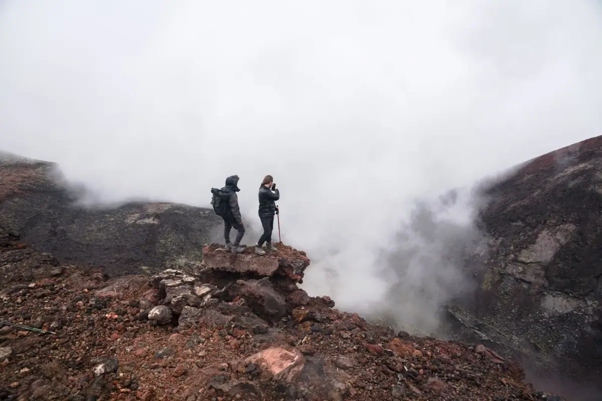
Higher up, the landscape becomes mineral. Pale, yellow or reddish rocks, fumaroles that hiss and a pronounced smell of sulfur: you are at the foot of the dome. The views, when the clouds clear, are spectacular over Basse-Terre, the Caribbean Sea and, in very clear weather, the neighboring islands.
A few key rules at the summit:
- Stay on the marked trails: the areas around the fumaroles can be hot and unstable.
- Do not stay too long in the gas fumes.
- Avoid climbing if visibility is zero: landmarks disappear quickly in fog.
Weather and best time for the hike
The tropical mountain climate is changeable. You can go from sun to pouring rain in a few minutes. Rain is frequent all year at this altitude, even in the dry season.
The dry season, called the carême, from about December to May, statistically has more clear days. From June to November, the wet season raises the risk of storms and slippery trails. To learn more about the climate and choose your dates, see our guide when to go to Guadeloupe.
In all cases, start early in the morning: your chances of seeing the summit clear are better, and you avoid afternoon storms.
Gear: what to bring for La Soufrière
You do not go in flip-flops. The altitude, humidity and rocks call for a minimum of preparation.
- Hiking shoes with a grippy sole, essential on wet stones.
- Waterproof jacket and windbreaker: it is clearly cooler at the summit than at the seaside.
- A light warm layer, even if the beach was at 30 °C (86 °F) in the morning.
- Enough water and energy snacks.
- Sunscreen, hat for the moments when it clears.
- A waterproof bag or rain cover to protect your phone and camera.
- A swimsuit if you plan to end the day in hot springs or under a waterfall.
Also remember to tell someone your route. Mobile coverage is patchy at altitude.
Combining La Soufrière with other Basse-Terre sights
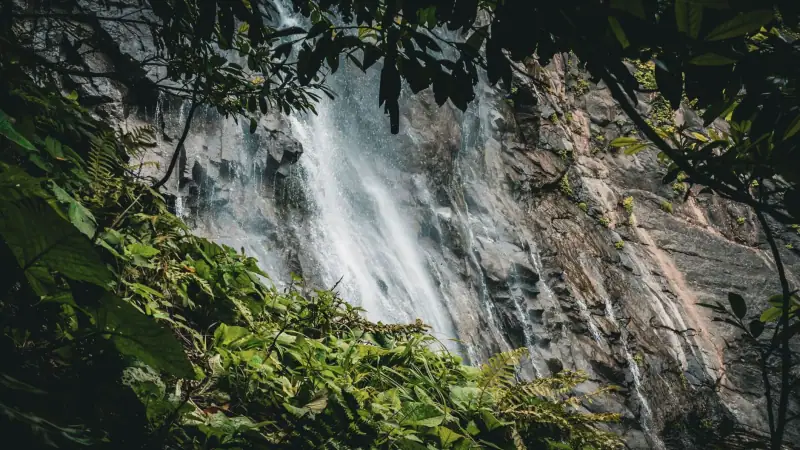
The area around the volcano lets you put together a fine day of sightseeing. The national park offers shorter trails in the rainforest, waterfalls and pools to cool off in after the effort. The thermal waters of Basse-Terre are also well known after a hike.
To fit La Soufrière into a full stay, take inspiration from our 7-day Guadeloupe itinerary, which spreads Grande-Terre, Basse-Terre and the neighboring islands.
Staying on Basse-Terre
A night near the national park avoids long morning drives and makes an early start easier.
Where to stay to prepare for the climb
To climb La Soufrière, staying overnight on Basse-Terre is a clear advantage: you avoid the drive from Grande-Terre and start earlier. The leeward coast, calmer and greener, has a very different feel from the seaside resorts of Grande-Terre.
If you stay instead in the tourist areas of southern Grande-Terre, plan on a long morning of driving each way. Our guide where to stay in Guadeloupe compares the areas according to your travel style.
Safety tips and respect for the site
The volcano is a fragile and demanding environment. A few habits to adopt:
- Check the alert level and park conditions before leaving.
- Respect the markings and never leave the trails.
- Do not push on if in doubt: thick fog, a storm or strong wind are good reasons to turn back.
- Leave no trash and do not take rocks or plants.
- Keep some energy for the descent, often harder on the knees on uneven steps.
Budget and organization
Access to the park trails is generally free, which makes La Soufrière one of the cheapest activities on the island. The main costs are the car rental, gas and possibly a guide. A guide’s fee varies with the duration and the number of participants: ask for a quote in advance.
Plan something to eat there or bring a picnic. After the hike, a treat at a Creole restaurant in Basse-Terre is the best reward: discover the typical dishes in our guide to Creole cuisine in Guadeloupe.
Frequently asked questions
How high is La Soufrière?
The summit of La Soufrière rises to about 1,460 m (4,790 ft), making it the highest point of Guadeloupe and the Lesser Antilles.
How long does the La Soufrière hike take?
Depending on the route you choose and your pace, generally allow half a day for the round trip from the parking lot, including breaks and time at the summit. Allow extra margin if the weather is unstable.
Is La Soufrière dangerous?
It is an active volcano, monitored continuously by the Guadeloupe volcanological and seismological observatory. The hike is open when conditions allow, but sulfur fumes, changing weather and marked zones mean you must strictly follow the rules in force.
Do you need a guide to climb La Soufrière?
It is not mandatory on the marked trails, but a mountain guide or local escort brings explanations and more safety, especially in fog.
What is the best time of year for La Soufrière?
The dry season, known as the carême, from about December to May, offers more visibility on average. The summit often stays in cloud at any time of year: start early in the morning.
More Guadeloupe guides
Keep reading
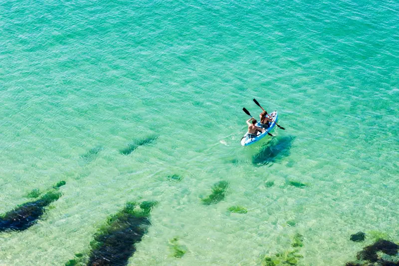
Water sports in Guadeloupe: kayak, kitesurfing, paddleboarding and boat trips
Mangrove kayaking, kitesurfing, paddleboarding, catamaran trips and whale watching: where to do water sports in Guadeloupe, when and with what precautions.
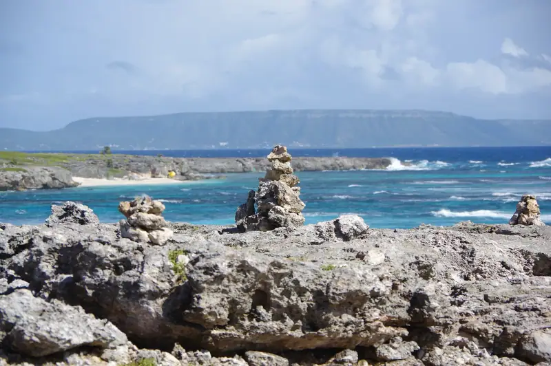
La Désirade in a day from Saint-François: ferry, booking, price and plan
La Désirade in one day: ferry times from Saint-François, booking, rentals on the island, beaches and viewpoints. A realistic plan and mistakes to avoid.
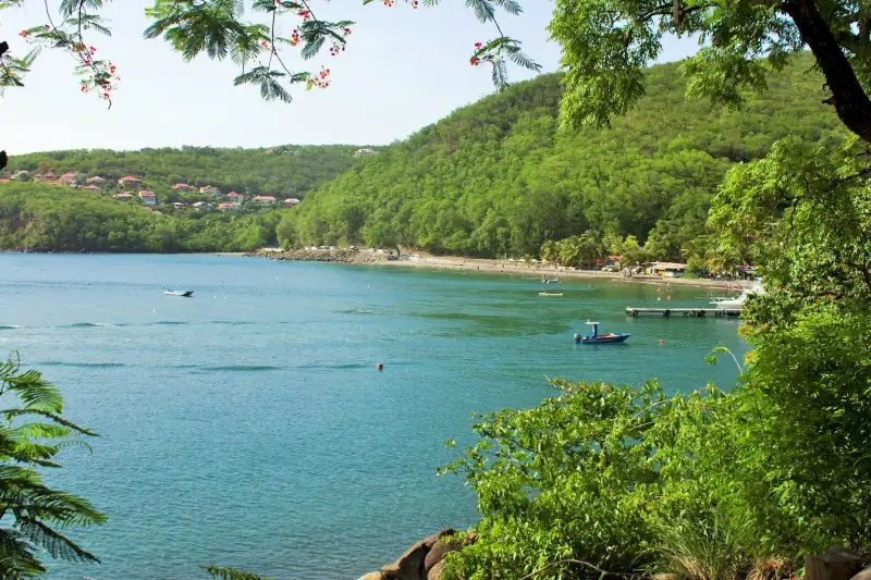
Diving and snorkeling in Guadeloupe: the Cousteau Reserve and Pigeon Island
Diving and snorkeling in Guadeloupe: the Cousteau Reserve and Pigeon Island, in Bouillante. Tips, levels, seasons and planning.
Ready-made
Guadeloupe itineraries
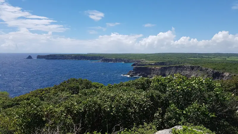
3 days
Grande-Terre in 3 days: beaches, cliffs and Pointe des Châteaux
A 3-day itinerary in Grande-Terre: Le Gosier, Sainte-Anne, Saint-François, Pointe des Châteaux, Le Moule and the northern cliffs. Stops, tips and bases.
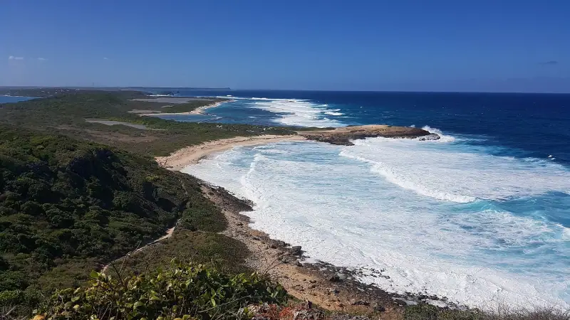
5 days
Guadeloupe in 5 days without a car: a realistic itinerary
Visiting Guadeloupe without a car in 5 days is possible: a base in Le Gosier or Sainte-Anne, buses, taxis, excursions and the boat to Les Saintes.
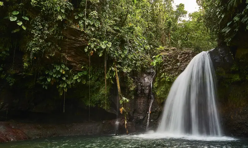
3 days
Basse-Terre road trip in 3 days: volcano, waterfalls and the leeward coast
Southern Basse-Terre (Capesterre-Belle-Eau or Saint-Claude)Leeward coast (Bouillante or Deshaies)