Complete Guide to Visiting the Dominican Republic: Regions, Highlights and Tips
Regions, cities, highlights, when to go, flights, transport, lodging and budget: the complete guide to planning a trip to the Dominican Republic.
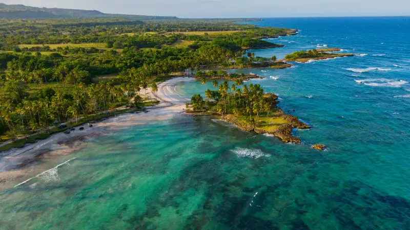
Beaches, bays & colonial city · Dominican Republic
Santo Domingo's colonial zone, the beaches of Punta Cana and Bayahibe, Saona island, the Samaná peninsula and the north coast.
We may earn a commission when you book through links on this page, at no extra cost to you. We don't visit or try the places we cover: we summarize published sources. How we work
Dominican Republic at a glance: 3 itineraries from 7 to 10 days; our trip planner works with 7 stops, and its 10-day sample trip adds up to about 4 h 15 of driving, the longest leg being Santo Domingo to Bayahibe (1 h 55); arrival airports in the planner: Las Américas International Airport, Santo Domingo (SDQ), Punta Cana International Airport (PUJ), Gregorio Luperón International Airport, Puerto Plata (POP); 15 guides answer the other questions.
Guides
Regions, cities, highlights, when to go, flights, transport, lodging and budget: the complete guide to planning a trip to the Dominican Republic.
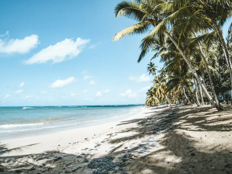
Coconut-palm beaches, fishing village, El Limón waterfall, whales and a French-speaking community: a guide to visiting Las Terrenas.
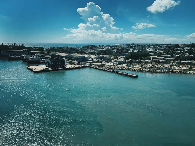
Puerto Plata, Sosúa, Cabarete, Río San Juan and the Damajagua waterfalls: places to see on the Dominican Republic's Atlantic north coast.
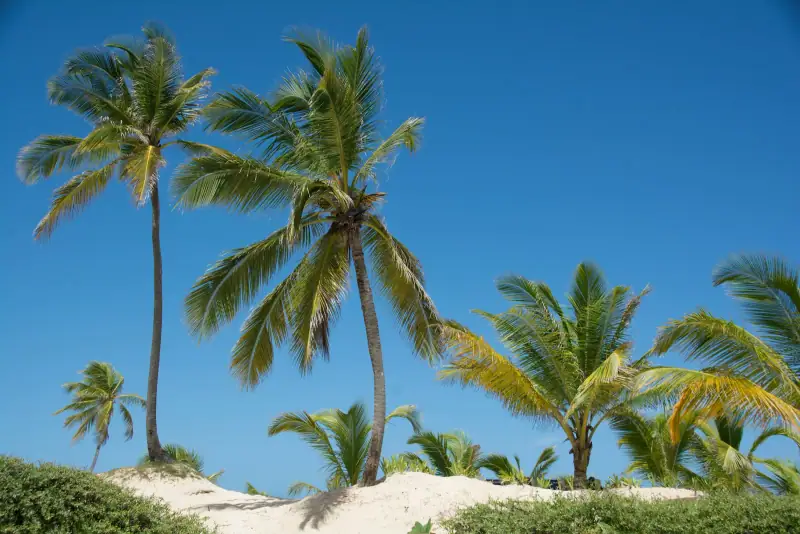
Bávaro and Macao beaches, Hoyo Azul cenote, Higüey basilica, Altos de Chavón and Bayahibe: sights to see in the Dominican east.
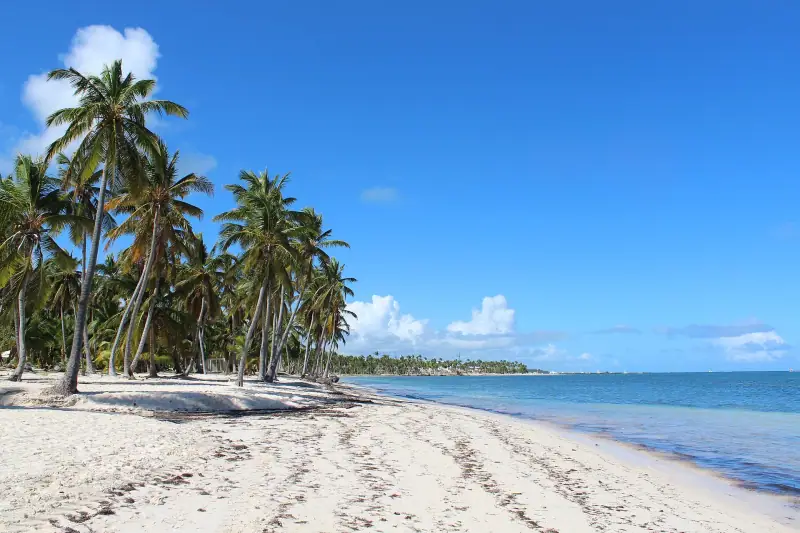
Dry season, rainy season, hurricanes, Samaná whales: our guide to choosing the best time to go to the Dominican Republic.
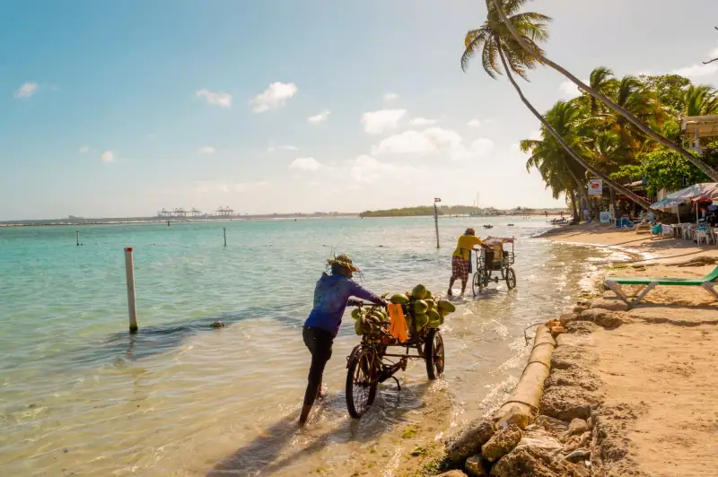
Lodging, transport, meals, excursions: how much does a trip to the Dominican Republic cost? Three budget profiles and tips to pay less.
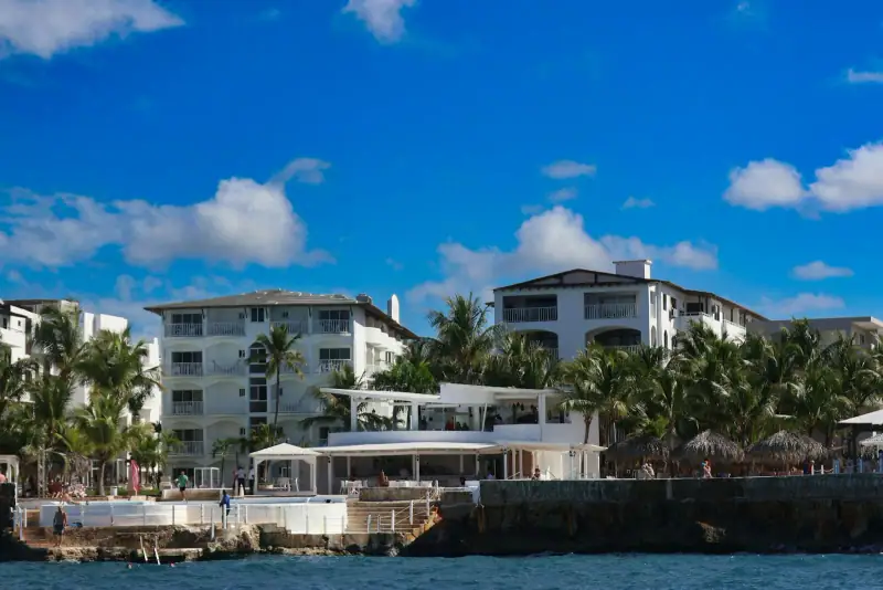
Bayahibe village, Dominicus beach, all-inclusive resorts or guesthouses: compare the areas and lodging types to choose where to stay in Bayahibe.
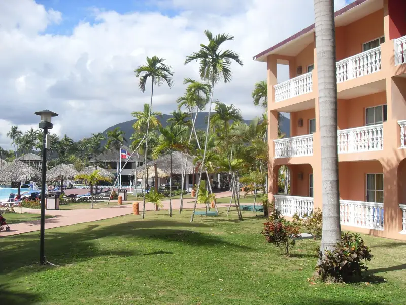
Historic center, Playa Dorada, Costambar, Cofresí or Sosúa: compare the areas and lodging types to choose where to stay in Puerto Plata.
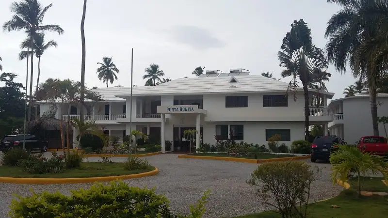
Town center, Playa Las Ballenas, Punta Popy, Playa Bonita, Cosón or El Portillo: compare Las Terrenas neighborhoods and lodging to choose well.
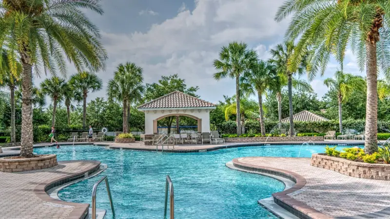
Bávaro, Cap Cana, Uvero Alto, Cabeza de Toro: compare Punta Cana neighborhoods and lodging types to choose where to stay for your budget.
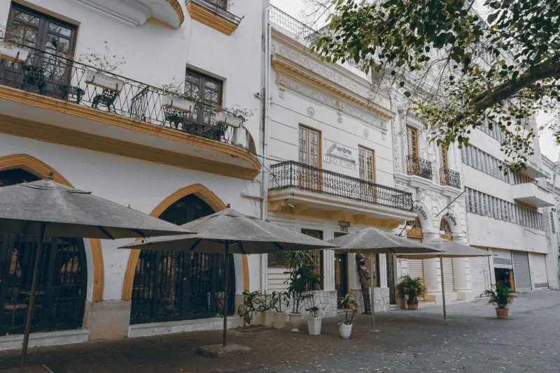
Colonial Zone, Malecón, Gazcue, Piantini, Naco or Boca Chica: compare Santo Domingo neighborhoods and lodging to choose where to stay.
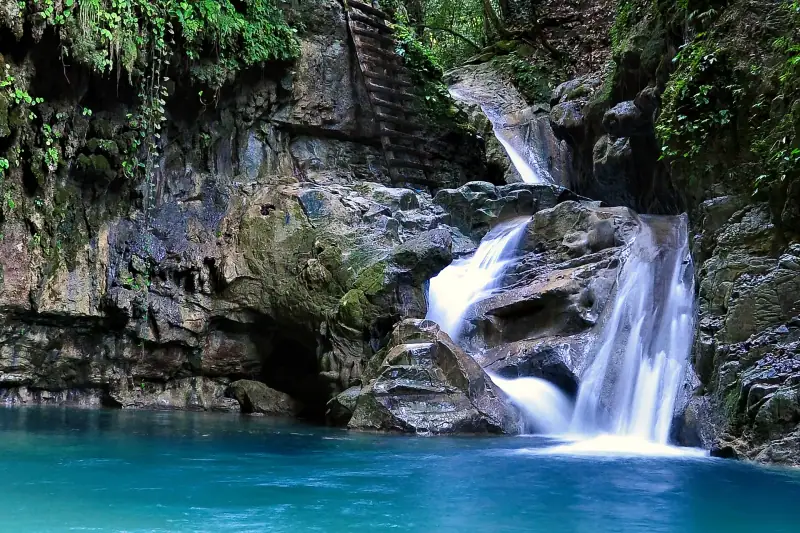
The 27 Charcos of Damajagua near Puerto Plata: 7, 12 or 27 waterfall options, duration, gear, minimum age, best season and tips.
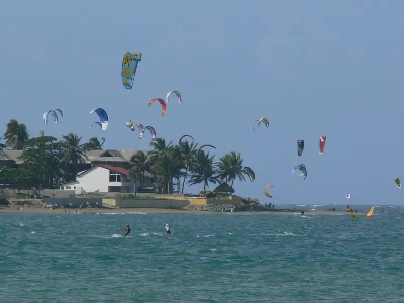
Cabarete, capital of wind sports: wind season, spots (Kite Beach, Encuentro), beginner lessons, gear, lodging and tips for your stay.
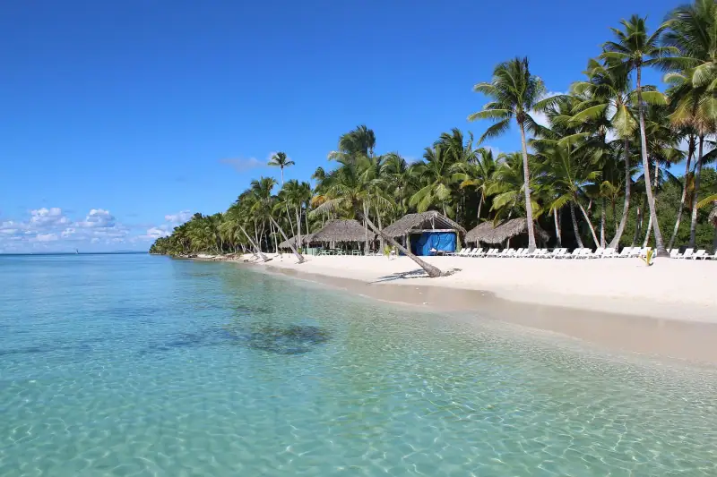
Saona Island from Bayahibe or Punta Cana: duration, beaches, the Palmilla natural pool, Mano Juan village and tips for your boat trip.
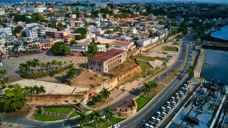
Calle Las Damas, cathedral, Alcázar de Colón, Ozama Fortress: a walking route to visit Santo Domingo's Colonial Zone in one day.
Itineraries
Full articles, with the days in order and where to sleep.
7 days
Santo DomingoBayahibePunta Cana
Can be adapted in the planner
7 days
Santo DomingoLas TerrenasBayahibe
10 days
Santo DomingoSamaná PeninsulaBayahibePunta Cana
| Jan | Feb | Mar | Apr | May | Jun | Jul | Aug | Sep | Oct | Nov | Dec | |
|---|---|---|---|---|---|---|---|---|---|---|---|---|
| Santo Domingo | ||||||||||||
| High °F (°C) | 8429 | 8630 | 8630 | 8831 | 8831 | 8831 | 9032 | 9032 | 8831 | 8831 | 8630 | 8630 |
| Low °F (°C) | 7021 | 7021 | 7222 | 7323 | 7524 | 7725 | 7725 | 7725 | 7725 | 7524 | 7323 | 7222 |
| Cabarete | ||||||||||||
| High °F (°C) | 8228 | 8429 | 8630 | 8831 | 8831 | 9032 | 9032 | 9032 | 9032 | 9032 | 8630 | 8429 |
| Low °F (°C) | 6619 | 6619 | 6619 | 7021 | 7222 | 7323 | 7323 | 7323 | 7323 | 7323 | 7222 | 6820 |
Normals 1991–2020 at Santo Domingo and Cabarete: averages over 30 years, not a forecast. Source: NASA POWER (MERRA-2), grid of about 50 km. Figures computed by us in November 2026. Rain is shown only where a weather station confirms the figures.
Or build your own
Pick your days and your pace. The planner orders the stops, divides up the nights and gives the real drive times.
A 10-day example: 4 h 15 of travel in total (292 km / 181 mi).
Open the planner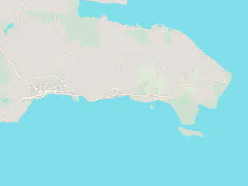
7 stops
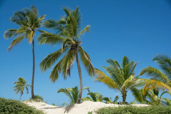 Photo: David Hughes / Unsplash
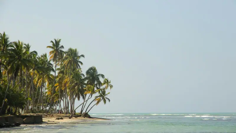
Resort coast lined with long sandy beaches and coconut palms. About 100 km (62 mi) from Bayahibe, with many flights departing from here.
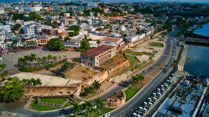 Photo: Venero Encarnación Martínez / Unsplash
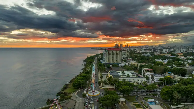
Capital about 25 km (16 mi) from Las Américas Airport. Its UNESCO-listed colonial zone can be covered on foot in a day.
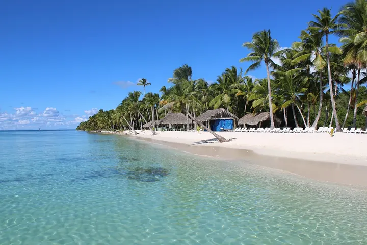 Photo: Danu Widjajanto / Wikimedia Commons (CC BY-SA 4.0)
Fishing village, gateway to Saona Island and the Eastern National Park. About 130 km (81 mi) and under 2 h from Santo Domingo.
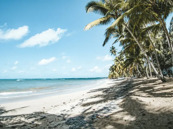 Photo: Claudia Mejia de la Cuz / Unsplash
Village on the north coast of Samaná, about two hours from Santo Domingo, with beaches, restaurants and a relaxed atmosphere.
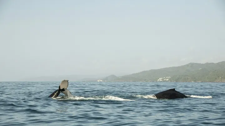 Photo: Robin Canfield / Unsplash
Port town on the bay, base for boat trips and humpback whale watching from mid-January to mid-March.
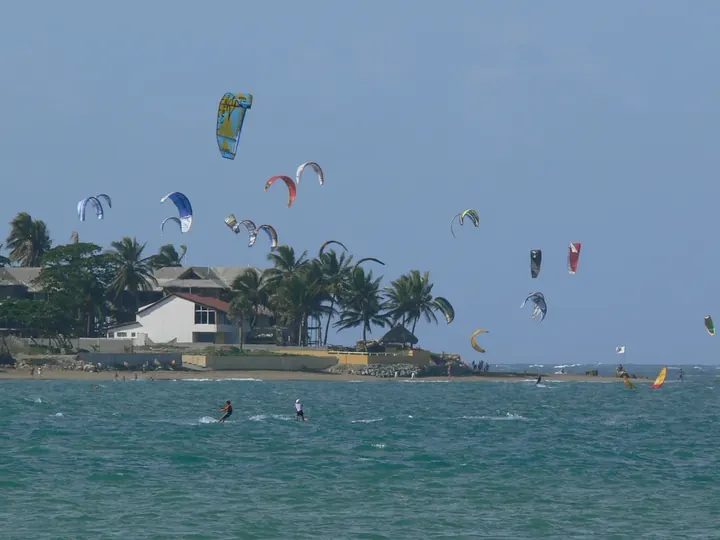 Photo: Reimarhoven / Wikimedia Commons (CC BY-SA 3.0)
North coast resort, the kitesurfing and windsurfing capital, with Kite Beach and Playa Encuentro.
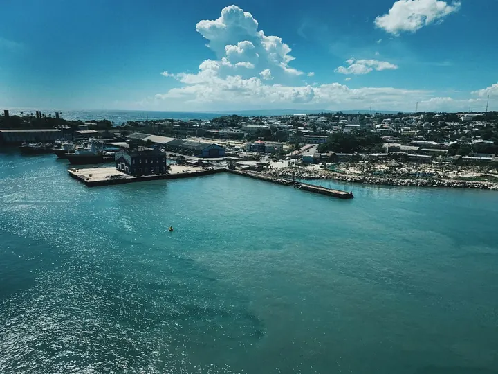 Photo: Tommy Bond / Unsplash
North coast city between heritage and mountains, base for the Damajagua waterfalls.
Keep exploring
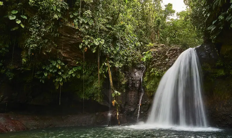
Butterfly islands of the Caribbean · France (Caribbean)
The beaches of Grande-Terre, the rainforest and waterfalls of Basse-Terre, La Soufrière, and boat trips to Les Saintes and Marie-Galante.
18 guides4 itinerariesTrip planner
Volcano, rainforest & beaches · France (Caribbean)
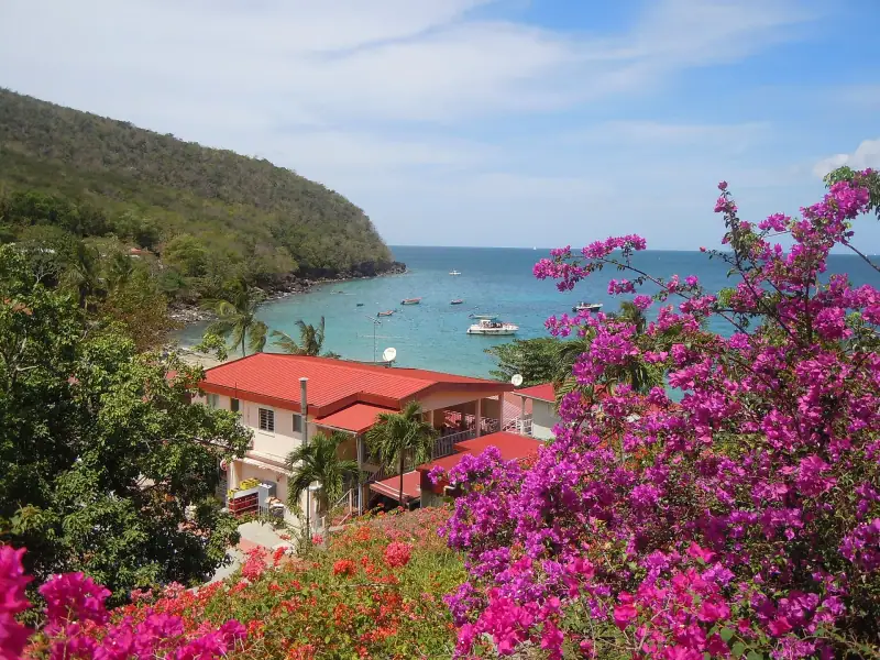
Fort-de-France and Les Trois-Îlets, the southern beaches of Sainte-Anne and Le Diamant, Saint-Pierre below Mount Pelée and the rainforest of the north.
18 guides4 itinerariesTrip planner
Andes & coffee country · Colombia
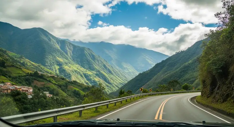
Bogotá, colonial Villa de Leyva, Medellín and the coffee region, with the Caribbean coast a short flight away.
18 guides3 itinerariesTrip planner