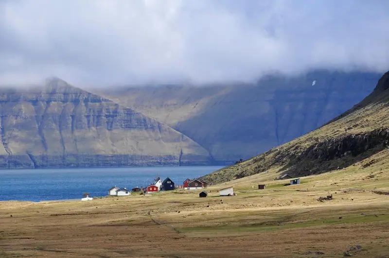
Visiting Eysturoy: Complete Guide to the Faroe Islands' Second Island
Everything for exploring Eysturoy in the Faroe Islands: Gjógv, Eiði, Slættaratindur, Funningur, the Two Giants. Hikes, villages and dramatic landscapes.
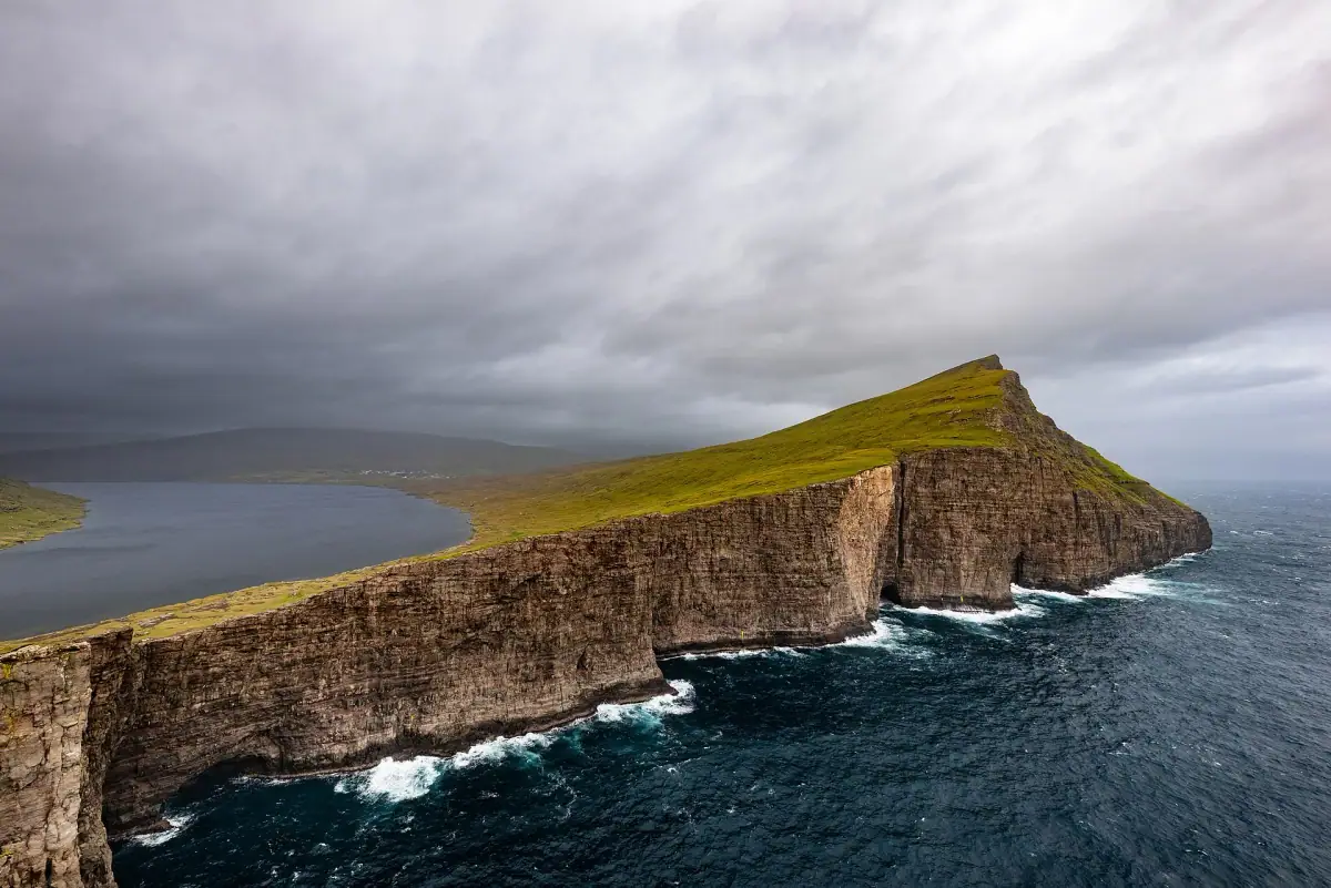
North Atlantic · Denmark
Grass-roofed villages, sea cliffs and undersea tunnels on eighteen islands between Iceland and Norway.
We may earn a commission when you book through links on this page, at no extra cost to you. We don't visit or try the places we cover: we summarize published sources. How we work
Faroe Islands at a glance: 3 itineraries from 2 to 14 days; our trip planner works with 7 stops, and its 10-day sample trip adds up to about 3 h 40 of driving, the longest leg being Sørvágur to Tórshavn (50 min); arrival airports in the planner: Vágar Airport (FAE); 15 guides answer the other questions.
Guides
Everything for exploring Eysturoy in the Faroe Islands: Gjógv, Eiði, Slættaratindur, Funningur, the Two Giants. Hikes, villages and dramatic landscapes.
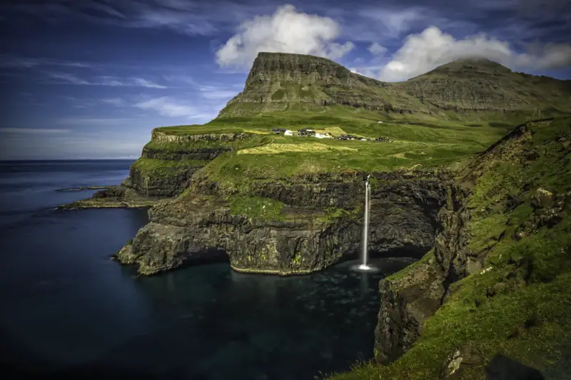
Visiting Gásadalur in the Faroe Islands: Múlafossur waterfall, hilltop village, hikes. Complete guide to reaching this remote village on the island of Vágar.
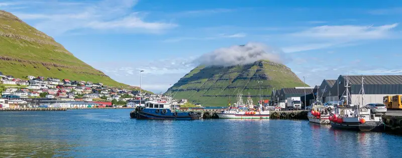
Klaksvík, second town of the Faroe Islands on Borðoy: what to see and do, where to stay, how to get there. A complete practical guide for your visit.
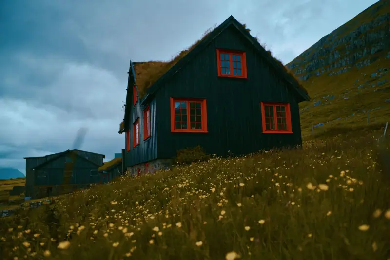
Getting to Kirkjubøur from Tórshavn without a car: bus, visit time, St. Magnus Cathedral, Roykstovan and Ólavskirkjan church. Worth the detour?
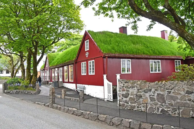
Tórshavn highlights: Tinganes, harbor, museums, restaurants and nightlife. A complete guide to visiting the smallest capital in Europe.
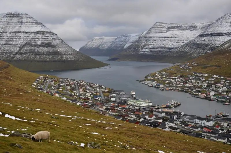
Everything for exploring Borðoy in the Faroe Islands: Klaksvík, Klakkur, northern fjords, remote villages. Practical guide, hikes, lodging and tips.
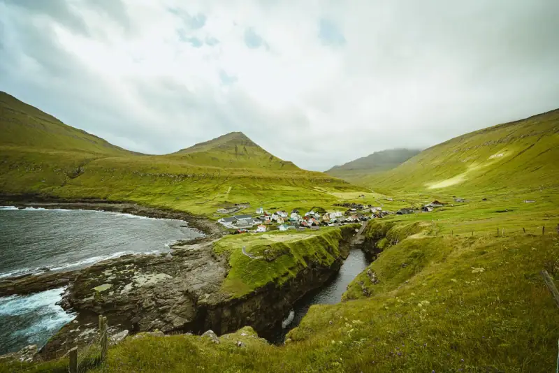
Visiting Gjógv, Faroe Islands: natural gorge, Slættaratindur hike, puffins, Gjaargardur guesthouse. Complete guide to this village on Eysturoy.
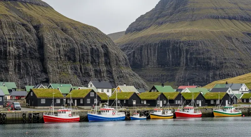
Hotels, restaurants, car rental and activities: a complete budget guide to plan your trip to the Faroe Islands without bad surprises.
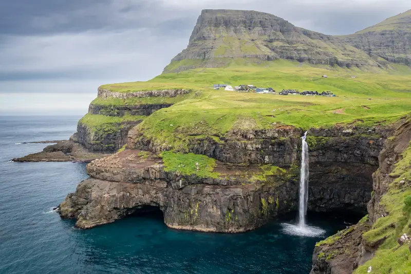
Which season for a trip to the Faroe Islands? Weather, puffins, northern lights, crowds and prices: a month-by-month guide to help you decide.
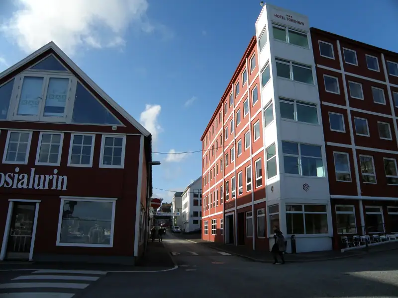
The best hotels, guesthouses and areas to stay in Tórshavn, capital of the Faroe Islands, for every budget.
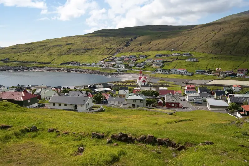
Hotels and guesthouses on Vágar and in Sørvágur: where to stay near the Faroe Islands airport, Lake Sørvágsvatn and Gásadalur.
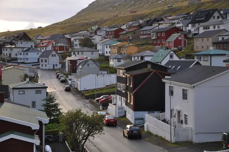
Where to stay in Klaksvík: guesthouses, areas and booking tips for exploring the north of the Faroe Islands.
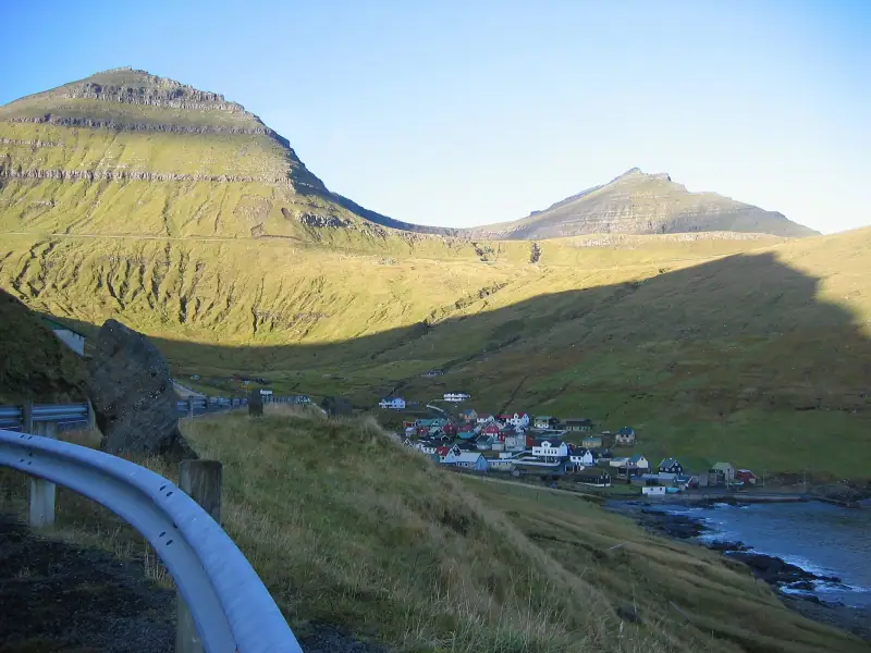
Climbing Slættaratindur (880 m) without a tour: Eiðisskarð or Gjógv start, time, difficulty, access fees, fog and gear. The practical guide.
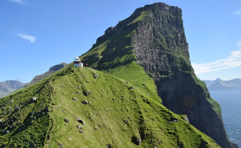
Hiking to the Kallur lighthouse on Kalsoy: ferry from Klaksvík, 200 DKK access fee, time, difficulty and what to book ahead.
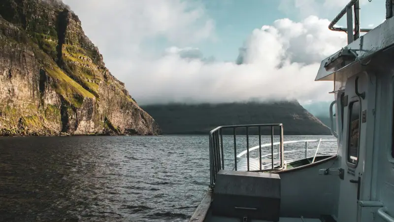
Boat trip to the Vestmanna cliffs (Faroe Islands): whether to book ahead, season, duration, indicative price, weather and alternatives.
Itineraries
Full articles, with the days in order and where to sleep.
2 days
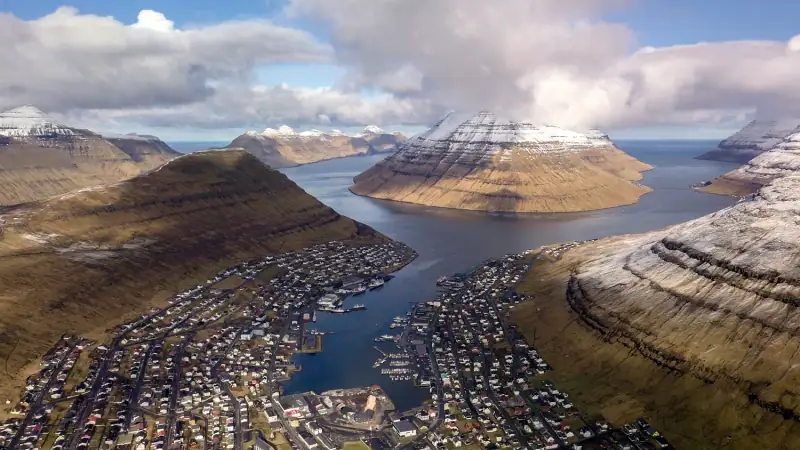
2-day itinerary on Borðoy: Klaksvík, Klakkur, the Kallur lighthouse on Kalsoy, Kunoy and Viðoy. The wild north of the Faroe Islands.
2 days
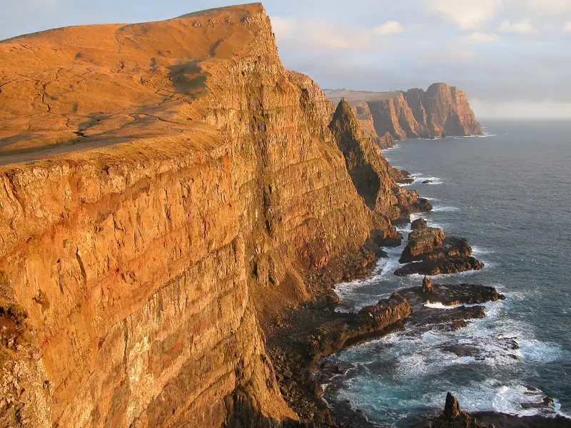
Suðuroy road trip in the Faroe Islands: ferry, Fámjin, Beinisvørð cliffs, Tvøroyri, Vágur, Sumba. 2-day itinerary and practical tips.
14 days
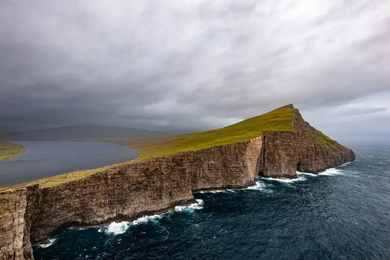
Faroe Islands road trip itinerary in 10 to 14 days. Scenic roads, subsea tunnels, remote villages and the essential natural sites.
| Jan | Feb | Mar | Apr | May | Jun | Jul | Aug | Sep | Oct | Nov | Dec | |
|---|---|---|---|---|---|---|---|---|---|---|---|---|
| High °F (°C) | 436 | 436 | 436 | 457 | 468 | 5010 | 5211 | 5412 | 5211 | 489 | 468 | 436 |
| Low °F (°C) | 394 | 394 | 394 | 415 | 436 | 468 | 5010 | 5010 | 489 | 457 | 436 | 394 |
| Rain in (mm) | 4.9125 | 4.1105 | 4.1105 | 3.180 | 2.665 | 2.665 | 3.180 | 3.590 | 4.3110 | 4.7120 | 4.5115 | 5.1130 |
Normals 1991–2020 at Tórshavn: averages over 30 years, not a forecast. Source: NASA POWER (MERRA-2), grid of about 50 km. Figures computed by us in November 2026.
Seasons, festivals and road closures: Best Time to Visit the Faroe Islands: Month by Month
Or build your own
Pick your days and your pace. The planner orders the stops, divides up the nights and gives the real drive times.
A 10-day example: 3 h 40 of travel in total (210 km / 131 mi).
Open the planner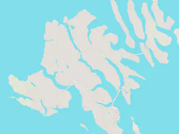
7 stops
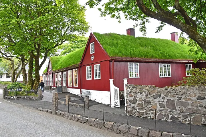 Photo: Pasztilla aka Attila Terbócs / Wikimedia Commons (CC BY-SA 4.0)
Human-scale capital and the most practical base in the archipelago: hotels, restaurants and roads to Streymoy, Eysturoy and Vágar through the tunnels.
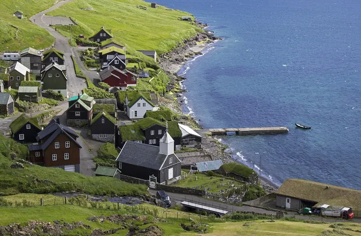 Photo: Stefan Wisselink / Wikimedia Commons (CC BY 2.0)
Village on Vágar, 10 to 15 min from the airport. Base for Lake Sørvágsvatn, Gásadalur and the Mykines ferry.
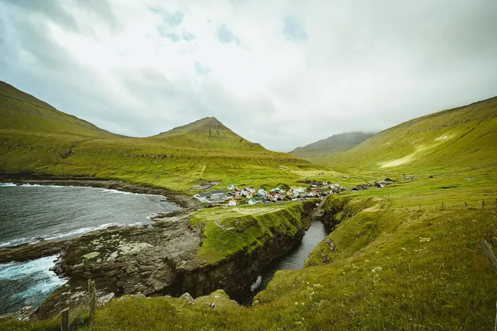 Photo: Gije Cho / Pexels
Village at the end of Eysturoy, famous for the natural gorge that serves as its harbor. Starting point for Slættaratindur, the highest peak in the Faroe Islands. Tiny choice of accommodation.
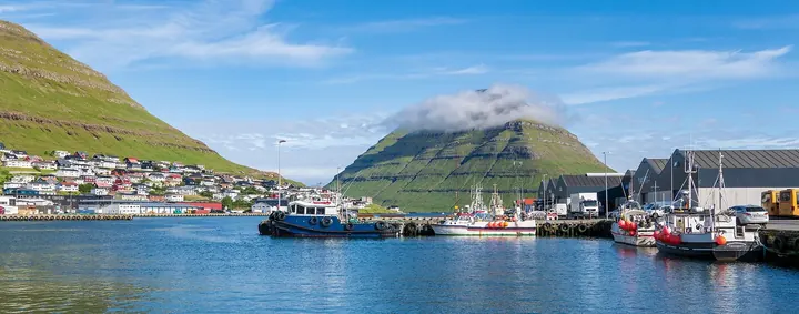 Photo: Ekrem Canli / Wikimedia Commons (CC BY-SA 4.0)
Second-largest town in the Faroe Islands, at the head of a double fjord on Borðoy, 45 km (28 mi) from Tórshavn. Base for the north: Klakkur, Kunoy, Viðoy and Kalsoy.
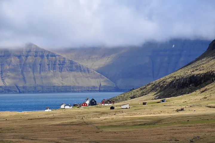 Photo: Vincent van Zeijst / Wikimedia Commons (CC BY-SA 4.0)
Largest settlement on Eysturoy, with a hotel, a restaurant and shops. Fast road to Tórshavn through the Eysturoyartunnilin.
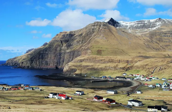 Photo: Erik Christensen / Wikimedia Commons (CC BY-SA 3.0)
Main settlement on Suðuroy, where the ferry from Tórshavn arrives (about 2 h, cars accepted). Base for Fámjin, Vágur and the Beinisvørð cliffs.
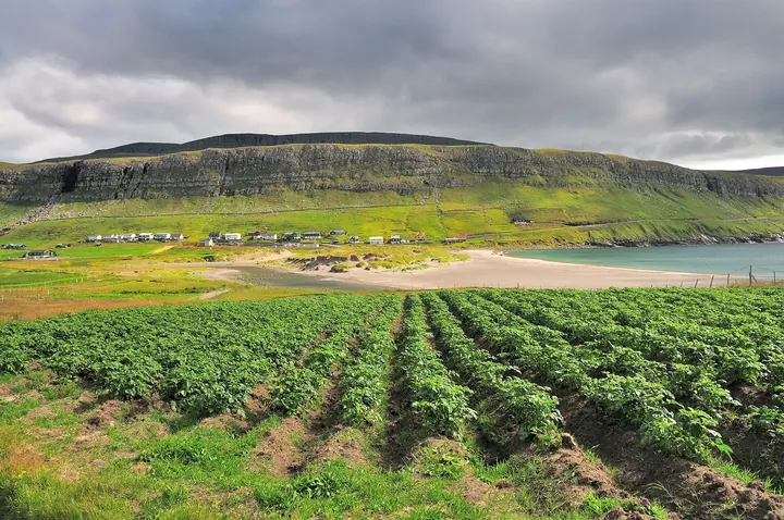 Photo: Ulrich Latzenhofer / Wikimedia Commons (CC BY-SA 2.0)
Main village of Sandoy, linked to Streymoy by the Sandoyartunnilin. Sandy beaches are rare in the Faroe Islands, plus Lake Sandsvatn and limited accommodation.
Keep exploring
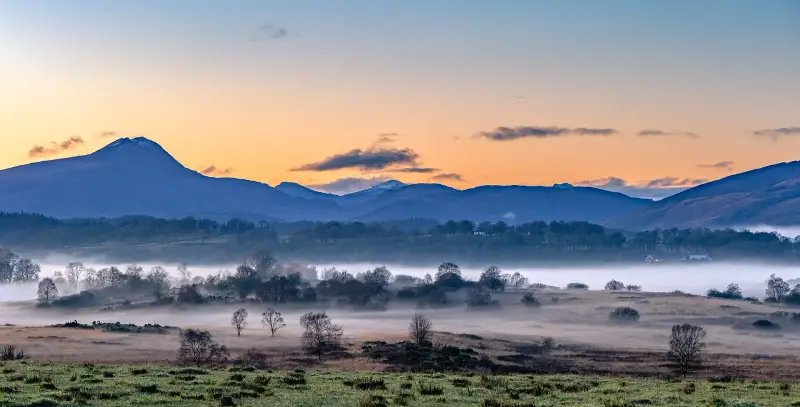
Highlands & islands · United Kingdom
Edinburgh, the Highlands and the ferries to Skye, Mull and Islay, with drive times that allow for single-track roads.
18 guides3 itinerariesTrip planner
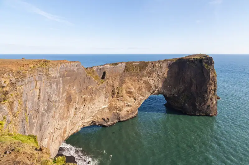
Ring Road & glaciers · Iceland
Waterfalls, black-sand beaches and glacier lagoons along the Ring Road, with drive times that allow for the weather.
18 guides3 itinerariesTrip planner
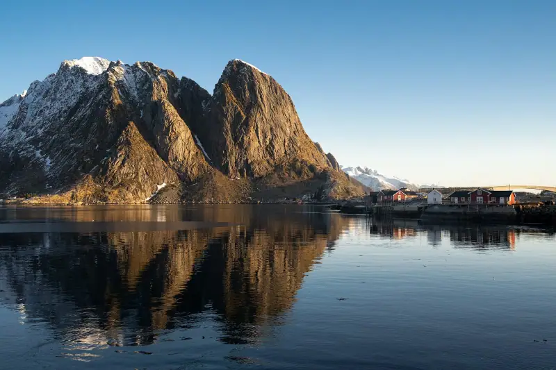
Fjords & Arctic · Norway
Fjords, mountain roads and the Lofoten Islands. The distances are long, so the planner keeps the driving days realistic.
19 guides4 itinerariesTrip planner