Itineraries
Faroe Islands Road Trip: A 10 to 14 Day Itinerary by Car
We may earn a commission when you book through links on this page, at no extra cost to you. We don't visit or try the places we cover: we summarize published sources. How we work
Day by day
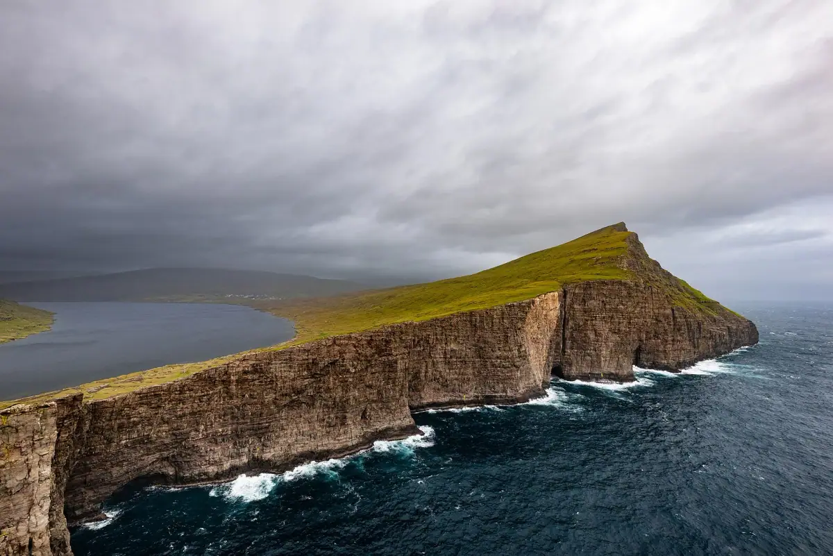
- Day 1Arrival on Vágar, Lake Sørvágsvatn and Gásadalur
- Day 2Mykines, weather permitting
- Day 3Kirkjubøur, Tórshavn and Tinganes
- Day 4Saksun and Vestmanna boat trip along the cliffs
- Day 5Eysturoy: Gjógv, Funningur, Eiði, Slættaratindur attempt
- Day 6Oyndarfjørður, Gøta murals, Hvítanes monument, Nes peninsula
- Day 7North via Norðoyatunnilin, Klaksvík and Borðoy fjords
- Day 8Kunoy, Viðoy and Svínoy
- Day 9Sandoyartunnilin to Sandur, Lake Sandsvágur hike
- Day 10South coast of Sandoy, Skúvoy, back to Streymoy
- Day 11Ferry from Tórshavn to Suðuroy, Tvøroyri, north of the island
- Day 12Beinisvørð cliffs, Sumba, ferry back
- Day 13Free day in Tórshavn: souvenirs and dinner
- Day 14Drive to Vágar, return the car, fly home
Weather through the year on this route
| Jan | Feb | Mar | Apr | May | Jun | Jul | Aug | Sep | Oct | Nov | Dec | |
|---|---|---|---|---|---|---|---|---|---|---|---|---|
| High °F (°C) | 436 | 436 | 436 | 457 | 468 | 5010 | 5211 | 5412 | 5211 | 489 | 468 | 436 |
| Low °F (°C) | 394 | 394 | 394 | 415 | 436 | 468 | 5010 | 5010 | 489 | 457 | 436 | 394 |
| Rain in (mm) | 4.9125 | 4.1105 | 4.1105 | 3.180 | 2.665 | 2.665 | 3.180 | 3.590 | 4.3110 | 4.7120 | 4.5115 | 5.1130 |
Normals 1991–2020 at Tórshavn: averages over 30 years, not a forecast. Source: NASA POWER (MERRA-2), grid of about 50 km. Figures computed by us in November 2026.
In short
- The 14-day circuit covers Vágar, Streymoy and Tórshavn, Eysturoy, Borðoy and the northern islands, Sandoy, and Suðuroy, with the last days back on Streymoy and Vágar.
- Pick up the car at Vágar Airport and book ahead, especially in June to August.
- The main subsea tunnels are toll tunnels, about 50 to 175 DKK per crossing (about €7 to 24 / $8 to 28); check tunnil.fo.
- Driving is on the right, with headlights required at all times; single-lane tunnels have passing places.
A road trip is the most natural and most satisfying way to discover the Faroe Islands. The archipelago is made for the car: a remarkable network of roads, bridges and subsea tunnels lets you go from one island to the next without ever leaving the road, crossing landscapes that change radically every kilometer.
In 10 to 14 days, you can make a complete tour of the archipelago, covering all the main islands. Here is the recommended itinerary, designed to maximize scenery while leaving time to hike and stop.
Practical information for the road trip
Car rental
Pick up your car directly at Vágar Airport. Several agencies operate at the airport: Avis, Budget, and local agencies such as SS Car Rental. Book ahead, especially in June to August.
Car tips:
- Opt for full-coverage insurance (roads can be narrow and slippery)
- Take a car with good ground clearance if you plan to use tracks
- Check that the tank is full at the airport; gas stations are rare in remote areas
The subsea tunnels
One of the Faroe Islands’ singularities: the network of subsea tunnels links the islands without needing a ferry. Here are the main ones:
- Vágatunnilin: Vágar to Streymoy (4.9 km / 3 mi, about 50 DKK per crossing)
- Norðoyatunnilin: Streymoy to Borðoy (6.2 km / 3.9 mi, about 50 DKK per crossing)
- Eysturoyartunnilin: Streymoy to Eysturoy (11.2 km / 7 mi, about 175 DKK per crossing), with its famous subsea roundabout!
- Sandoyartunnilin: Streymoy to Sandoy (10.8 km / 6.7 mi, about 175 DKK per crossing)
Day-by-day itinerary (14 days)
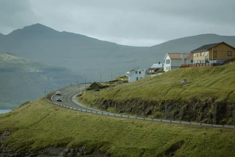
Days 1-2: Vágar, the island of arrivals and waterfalls
Day 1: Arrival, settling in, exploring Lake Sørvágsvatn and Gásadalur (see the 7-day itinerary for details of these first days)
Day 2: Mykines (weather permitting)
Days 3-4: Streymoy and Tórshavn
Day 3: Kirkjubøur, arrival in Tórshavn, exploring Tinganes
Day 4: Saksun, Vestmanna (boat trip along the cliffs)
Days 5-6: Eysturoy
Day 5: Crossing through the Eysturoyartunnilin. Gjógv, Funningur, Eiði. Attempt to climb Slættaratindur if conditions allow.
Day 6: The village of Oyndarfjørður, the murals of Gøta, the Hvítanes monument and the Nes peninsula.
Days 7-8: Borðoy and the northern islands
Day 7: Drive north via the Norðoyatunnilin. Klaksvík, a visit to the town, fjord landscapes around Borðoy.
Day 8: Exploring Kunoy, Viðoy and Svínoy (reached by boat from Klaksvík). The landscapes of these isolated northern islands are among the wildest in the archipelago.
Days 9-10: Sandoy
Day 9: Crossing via the (recent) Sandoyartunnilin. The island of Sandoy is one of the least visited despite its magnificent landscapes: sandy beaches, inland lakes, the village of Sandur. Hike around Lake Sandsvágur.
Day 10: Exploring Sandoy’s south coast. Village of Skúvoy (reached by ferry). Return to Streymoy.
Days 11-12: Suðuroy
Day 11: Take the ferry from Tórshavn to Suðuroy (2-hour crossing, spectacular). Settle in at Tvøroyri, the main settlement. Explore the north of the island.
Day 12: Hike on the cliffs of Cape Beinisvørð (among the highest cliffs in the Faroes, 469 m / 1,539 ft). The village of Sumba, the southernmost in the Faroes. Ferry back in the late afternoon.
Accommodation along the whole itinerary
Book your nights for each stage of the road trip.
Days 13-14: Back to Streymoy and Vágar
Day 13: Free day to revisit favorite sites, shop for souvenirs in Tórshavn (wool, ceramics, smoked fish), and have a special dinner in a fine-dining restaurant.
Day 14: Leave Tórshavn, drive to Vágar (45 min), return the car, flight home.
The most beautiful roads in the Faroe Islands
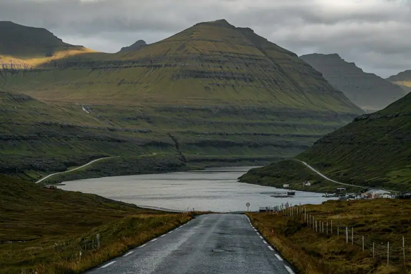
Route 10 (Streymoy): From Tórshavn north to Tjørnuvík, with views of the two sea stacks of Trollkonufingur (“the witch’s finger”). Spectacular.
Route 596 (Eysturoy): The hairpins descending toward Gjógv offer one of the most dramatic views in the archipelago.
Route 647 (Vágar): The road to Gásadalur crosses wild landscapes before ending in this perched village.
N65 (Borðoy-Kunoy): The viaduct linking Borðoy to Kunoy, with fjords on both sides, is one of the most impressive roads in the Faroe Islands.
Practical tips for your road trip
Download offline maps. Google Maps works well in the Faroe Islands, but network coverage can be limited in remote areas. Download maps before you leave.
Respect speed limits. The Faroese police are attentive to speeding, especially in villages.
Single-lane tunnels need attention. These tunnels have passing places so cars can cross. Stay focused and follow the local rules of the road.
Expect variable opening hours. Small attractions, museums and village restaurants sometimes have reduced hours or are closed on Mondays. Check ahead.
For a shorter stay, see our 7-day itinerary. To compare the two big islands of the archipelago, read our article Streymoy vs Vágar.
Sources
- Tunnil (Faroese subsea tunnel company): figures checked November 2026
- Tunnil (Faroese subsea tunnel company): prices checked November 2026
- Tunnil (Faroese subsea tunnel company): figures checked November 2026
- Strandfaraskip Landsins (SSL): figures checked November 2026
Frequently asked questions
What kind of car should you rent for a Faroe Islands road trip?
A standard car is enough for most roads. An SUV or a high-clearance car is recommended if you want to take some mountain tracks. The main roads are excellent but narrow.
Are the tunnels toll roads in the Faroe Islands?
Yes, the main subsea tunnels are toll tunnels (about 50 to 175 DKK per crossing, or €7 to 24 / $8 to 28; check rates at tunnil.fo). Land tunnels are generally free. Budget €50 to 150 (about $58 to 175) in tolls for a one-week road trip.
Can you do a Faroe Islands road trip without a credit card?
Tunnel tolls can be paid by card in most cases. Having an international bank card is essential for a road trip in the Faroe Islands.
Are there special driving rules in the Faroe Islands?
Driving is on the right. The speed limit is generally 50 km/h (31 mph) in built-up areas and 80 km/h (50 mph) outside. Single-lane tunnels require you to yield in the passing places. Headlights are required at all times.
Can you take a rental car on the ferry to Suðuroy?
Yes, Faroese ferries carry vehicles. The Tórshavn-Suðuroy ferry accepts cars. Booking ahead is recommended in high season.
More Faroe Islands guides
Keep reading
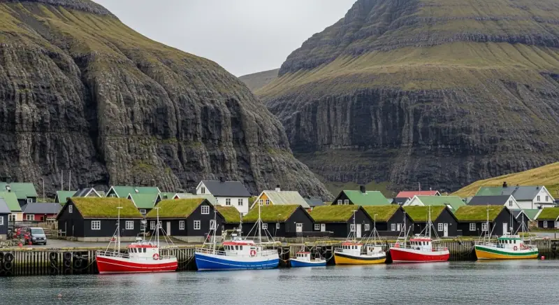
Faroe Islands Budget 2026: What Does It Really Cost?
Hotels, restaurants, car rental and activities: a complete budget guide to plan your trip to the Faroe Islands without bad surprises.
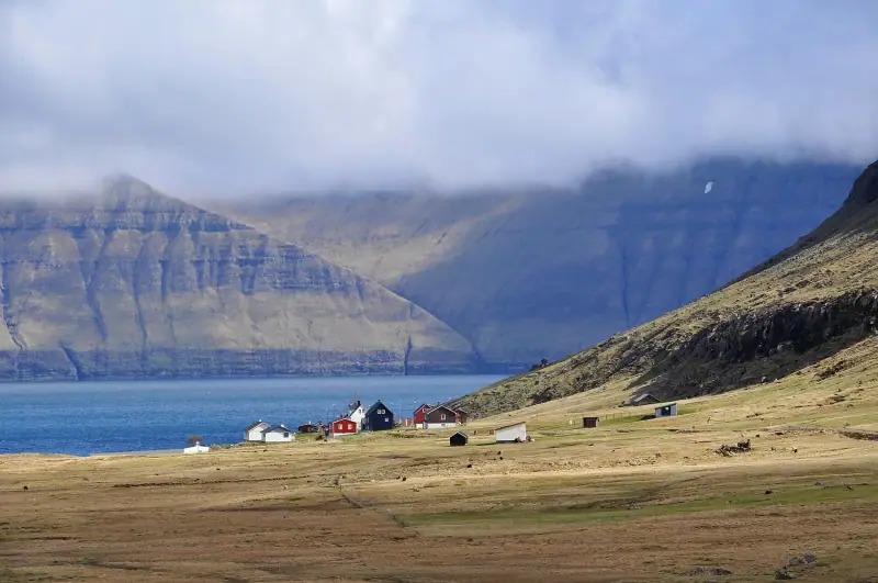
Visiting Eysturoy: Complete Guide to the Faroe Islands' Second Island
Everything for exploring Eysturoy in the Faroe Islands: Gjógv, Eiði, Slættaratindur, Funningur, the Two Giants. Hikes, villages and dramatic landscapes.
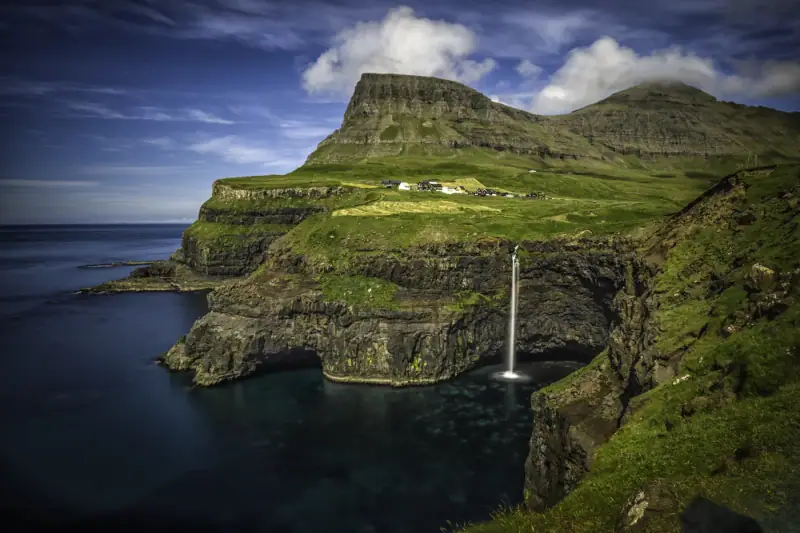
Gásadalur: The Village at the Edge of the World (Múlafossur Waterfall)
Visiting Gásadalur in the Faroe Islands: Múlafossur waterfall, hilltop village, hikes. Complete guide to reaching this remote village on the island of Vágar.
Ready-made
Faroe Islands itineraries
2 days
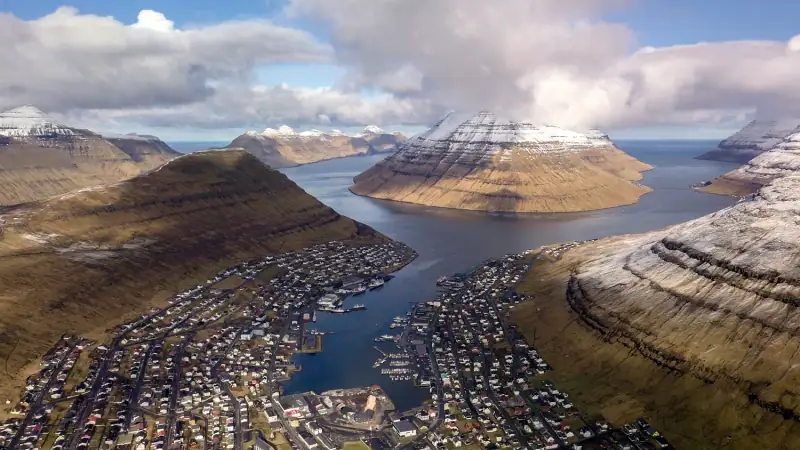
Borðoy Road Trip: 2 Days Between Klaksvík and the Northern Islands
2-day itinerary on Borðoy: Klaksvík, Klakkur, the Kallur lighthouse on Kalsoy, Kunoy and Viðoy. The wild north of the Faroe Islands.
2 days
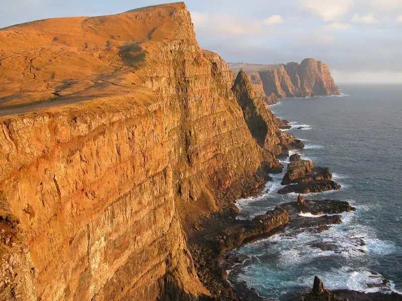
Suðuroy Road Trip: Complete Guide to the Island at the End of the World
Suðuroy road trip in the Faroe Islands: ferry, Fámjin, Beinisvørð cliffs, Tvøroyri, Vágur, Sumba. 2-day itinerary and practical tips.