Things to do
Slættaratindur Without a Guide: Trailhead, Time and Difficulty of the Hike
We may earn a commission when you book through links on this page, at no extra cost to you. We don't visit or try the places we cover: we summarize published sources. How we work
In short
- You can climb Slættaratindur (880 m / 2,887 ft) without a guide. The easy route starts at the Eiðisskarð pass and takes about 2 to 2 h 30 round trip.
- From Gjógv the climb is much longer: about 4 hours up according to the official tourist office, plus the return.
- The tourist office mentions no access fee for this climb, but Faroese land is private and rules can change: check signs and current information before you go.
- Fog and wind are the real obstacles: visibility can fall to about 20 m (65 ft), so carry a GPS and turn back if it drops.
Slættaratindur rises to 880 m (2,887 ft) (some sources say 882 m), the highest point in the archipelago, on the island of Eysturoy. Yes, you can climb it without a guide or a tour company: the simplest route starts at the Eiðisskarð pass and takes about 2 h round trip, while the Gjógv route takes a good half day. Here is how to choose your start, what you will find on the trail and when to turn back.
In short: start from Eiðisskarð, between Eiði and Funningur, for a climb of about 1 to 2 h and a descent of about 30 min to 1 h. Access is free according to the official tourist office, but fog and wind are the real obstacles: check the weather, start early and keep some margin.
Slættaratindur without a guide: is it possible?
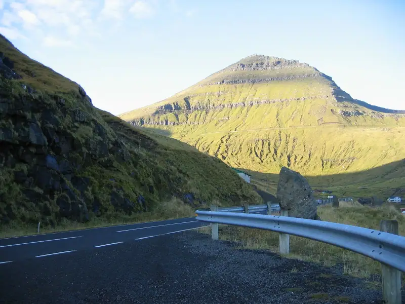
Yes. Unlike Drangarnir or some trails on private land, climbing Slættaratindur does not require a guide, and the sources consulted mention no permit or entrance fee. For the general logic of paid trails, read our article on whether you need a guide to hike in the Faroe Islands.
What “without a guide” does require is knowing how to read the weather, being willing to turn around, and having a way to find your bearings if fog comes down. On this summit, visibility decides, not technique.
Which start: Eiðisskarð or Gjógv?
From the Eiðisskarð pass: the short route
This is the classic climb. A small parking lot is at the pass, between Eiði and Funningur. According to the tourist office, you cross the fence, then climb straight up keeping the fence on your right until the start of the summit trail. The route is 5 to 6 km (3 to 4 mi) depending on the source, with the last few hundred meters the steepest.
- Time: about 2 to 2 h 30 round trip.
- Level: moderate, a little harder between the pass and the summit track.
- Terrain: grass at first, then stones and rocky steps near the top.
From Gjógv: the long route
The village of Gjógv is the other starting point. The tourist office gives about 4 hours to reach the summit. So allow a full day, with a return of 1 h 30 to 2 h. This option suits those who sleep in the village and want to walk from their door. To stay and see the gorge, see our guide to visiting Gjógv.
From Eiði or Funningur: on foot from sea level
You can also start from sea level at Eiði (about 7.2 km / 4.5 mi) or Funningur (about 4.2 km / 2.6 mi), but these versions are much longer or steeper. They are for seasoned walkers.
How much time to allow
| Start | Approximate time | Level | Who it suits |
|---|---|---|---|
| Eiðisskarð | 2 to 2 h 30 round trip | Moderate | Most visitors |
| Gjógv | About 4 h up, plus the return | Demanding | Hikers, overnight there |
| Eiði / Funningur | Longer or steeper | Difficult | Experienced walkers |
These times are benchmarks gathered from various sources: they vary with your pace and the weather. Add 30 to 60 minutes if you want to wait for a break in the clouds at the summit.
Fog, wind, rain: when to turn back
The weather changes fast in the archipelago. On Slættaratindur, three situations should make you reconsider the outing:
- Thick fog: visibility can drop to about 20 m (65 ft) and hide the track. Hikers have already taken the wrong path. Without a GPS, do not venture out.
- Strong wind: some hikers advise against climbing when wind exceeds 15 m/s (34 mph). At the summit, flat and exposed, you feel it much more than at the parking lot.
- Wet terrain: wet grass is slippery, so are rocks, and dry gravel can roll. The last stretch is steep, with a drop on the left side: watch children closely.
To choose your month, our article on the best time to go to the Faroe Islands will help. From May to September, conditions are mildest; in winter, snow and ice may call for crampons or snowshoes.
To know who steps in if something goes wrong and who pays, see helicopter rescue while hiking in the Faroe Islands.
Guided hike to Slættaratindur
If fog or lack of experience holds you back, compare guided outings.
Getting there
The Eiðisskarð pass is on the road between Eiði and Funningur, about 10 minutes by car from Eiði. There is no bus stop at the trailhead: a rental car is the simplest solution. Our advice is in the guide to car rental in the Faroe Islands.
If you do not have a car, Gjógv has a bus, but the trail is longer from there. A taxi from a neighboring village is still possible. To place the summit on the island, our guide to visiting Eysturoy details the roads and villages.
Gear: the essentials, nothing excessive
- Waterproof shoes with grippy soles: wet grass is the main trap.
- Waterproof windbreaker and a warm layer: the summit is exposed.
- Poles if you have fragile knees: they mostly help on the descent.
- Water and snacks: there is no water point on the trail.
- Charged phone and GPS (or downloaded track): essential if mist rises.
What to see at the top
In clear weather, the view covers a large part of the archipelago, and the tourist office even mentions, on very dry and clear days, the Icelandic glacier Vatnajökull. The summit is wide, flat and swept by wind: plan for shelter during your break. If you are staying in the north of Eysturoy, the hike combines well with the Gjógv gorge, as in our selection of hikes in the Faroe Islands.
Where to stay to start early
Starting early increases your chances of seeing a clear summit. Gjógv, Eiði and Funningur are the closest bases, and the capital is about 1 h 15 by road. Compare accommodation on Eysturoy and book early in summer, as supply is limited in the villages.
Accommodation near Slættaratindur
Compare accommodation on Eysturoy on Booking.com.
Checklist before you go
- Check the weather and wind the day before, then the morning itself.
- Start early, to keep some time in reserve if fog lingers.
- Tell your host your route and your return time.
- Download the track before leaving the mobile network.
- Turn back if visibility drops: the summit will still be there tomorrow.
To cover a travel mishap, you can also compare travel insurance.
Sources
Frequently asked questions
Do you need a guide to climb Slættaratindur?
No. The trail is easy to spot in good weather and the climb does not require a guide. However, fog can hide the track: if visibility drops, it is better to turn back or to carry a GPS. A guide is mainly worthwhile if you do not feel comfortable in the mountains or in winter.
How long does it take to climb Slættaratindur?
From the Eiðisskarð pass, allow about 2 to 2 h 30 round trip (1 to 2 h up, 30 min to 1 h down). From Gjógv, the climb is much longer: about 4 hours according to the official tourist office, plus the return.
Is there a fee to climb Slættaratindur?
According to the Faroese tourist office, no fee is mentioned for this climb, and no permit requirement is listed in the sources. Because Faroese land is private and rules can change, look at the signs at the start and at up-to-date information before you go.
Which is the better start: Eiðisskarð or Gjógv?
Eiðisskarð for most visitors: a parking lot, a short climb, about 2 h. Gjógv suits walkers who want a real day of hiking and who sleep in the village.
Can you go without a car?
It is difficult. There is no bus stop at the Eiðisskarð pass, and a rental car or taxi are the practical solutions. Gjógv is served by bus, but the trail start there is longer.
What if there is fog at the summit?
Wait or turn back. Fog is frequent and can reduce visibility to about twenty meters (65 ft). Some hikers wait an hour at the top for the view to clear, others head back down. Never leave the track without a GPS and avoid climbing in strong wind.
Can you climb Slættaratindur in winter?
It is possible in good weather, but snow and ice may call for crampons or snowshoes, and days are short. For a first time, choose May to September.
More Faroe Islands guides
Keep reading
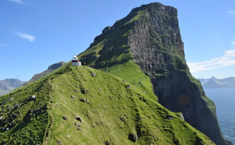
Kallur Lighthouse (Kalsoy): Ferry, 200 DKK Access Fee and Booking
Hiking to the Kallur lighthouse on Kalsoy: ferry from Klaksvík, 200 DKK access fee, time, difficulty and what to book ahead.
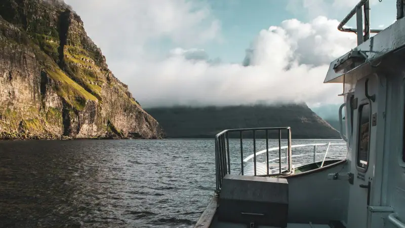
Vestmanna Cliffs by Boat: Book Ahead or on the Spot?
Boat trip to the Vestmanna cliffs (Faroe Islands): whether to book ahead, season, duration, indicative price, weather and alternatives.
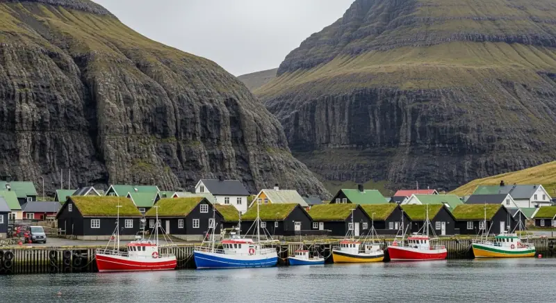
Faroe Islands Budget 2026: What Does It Really Cost?
Hotels, restaurants, car rental and activities: a complete budget guide to plan your trip to the Faroe Islands without bad surprises.
Ready-made
Faroe Islands itineraries
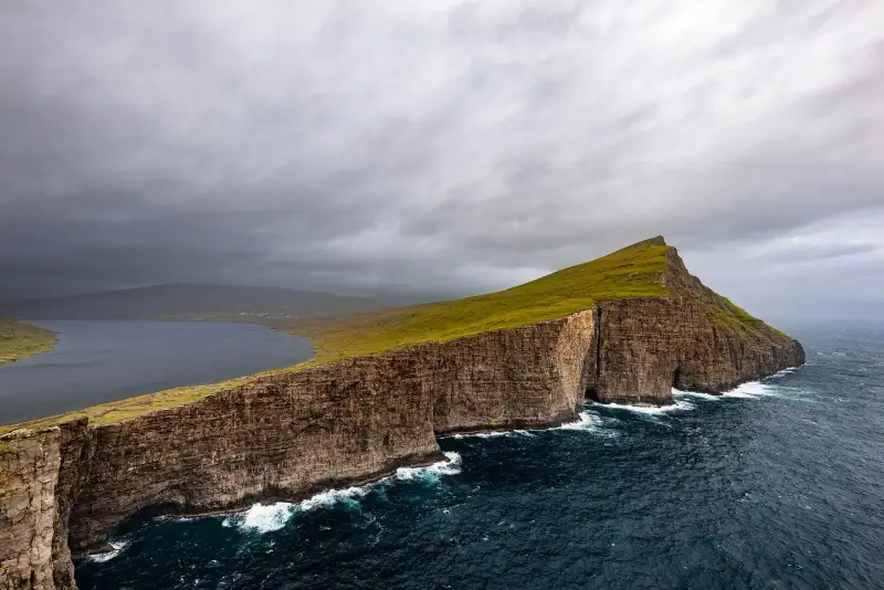
14 days
Faroe Islands Road Trip: A 10 to 14 Day Itinerary by Car
Faroe Islands road trip itinerary in 10 to 14 days. Scenic roads, subsea tunnels, remote villages and the essential natural sites.
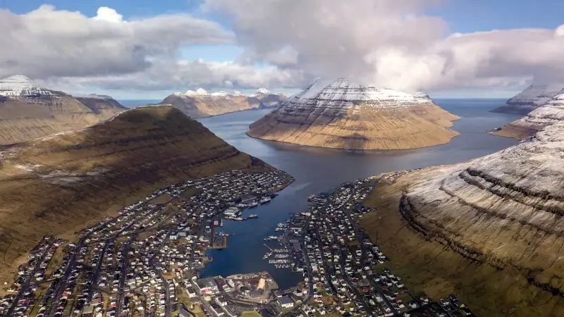
2 days
Borðoy Road Trip: 2 Days Between Klaksvík and the Northern Islands
2-day itinerary on Borðoy: Klaksvík, Klakkur, the Kallur lighthouse on Kalsoy, Kunoy and Viðoy. The wild north of the Faroe Islands.
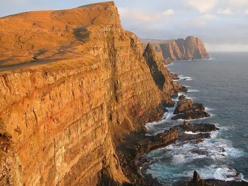
2 days
Suðuroy Road Trip: Complete Guide to the Island at the End of the World
Suðuroy road trip in the Faroe Islands: ferry, Fámjin, Beinisvørð cliffs, Tvøroyri, Vágur, Sumba. 2-day itinerary and practical tips.