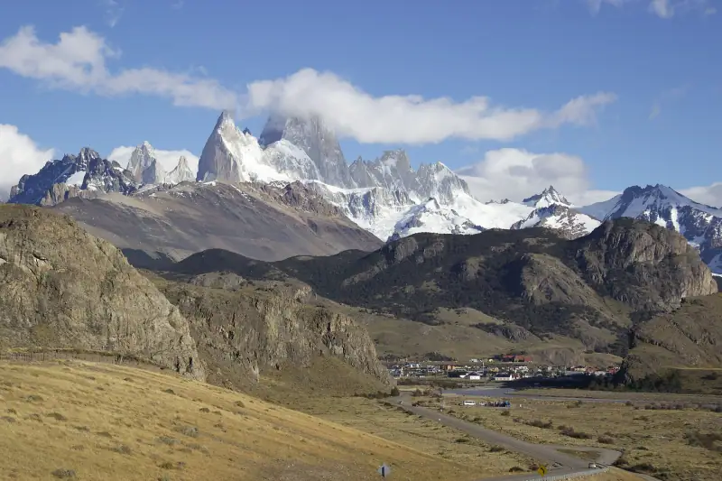
Visit El Chaltén: a complete guide to the trekkers' village
El Chaltén, Patagonia's trekking capital: Fitz Roy, Cerro Torre, hikes, lodging and practical tips for a successful stay.
End of the world · Chile & Argentina
Torres del Paine, the Perito Moreno glacier, El Chaltén's trails and the long roads of the far south.
We may earn a commission when you book through links on this page, at no extra cost to you. We don't visit or try the places we cover: we summarize published sources. How we work
Patagonia at a glance: 3 itineraries from 10 to 21 days; our trip planner works with 8 stops, and its 10-day sample trip adds up to about 8 h 30 of driving, the longest leg being El Calafate to Puerto Natales (4 h 40); arrival airports in the planner: Bariloche Airport (BRC), El Calafate International Airport (FTE), Punta Arenas Airport (PUQ); 15 guides answer the other questions.
Guides
El Chaltén, Patagonia's trekking capital: Fitz Roy, Cerro Torre, hikes, lodging and practical tips for a successful stay.
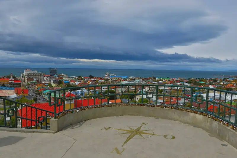
Punta Arenas, gateway to Patagonia: penguins on Isla Magdalena, the Strait of Magellan, historic palaces and the start for Torres del Paine.
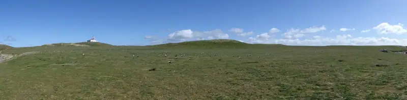
Isla Magdalena in practice: penguin season (Oct.-March), departures, tour and entry prices, duration. Seno Otway is closed: here is the alternative.
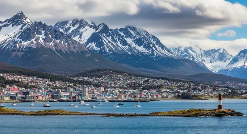
Ushuaia's top sights: Tierra del Fuego, the Beagle Channel, the End of the World Train and penguins. A full program for your stay.
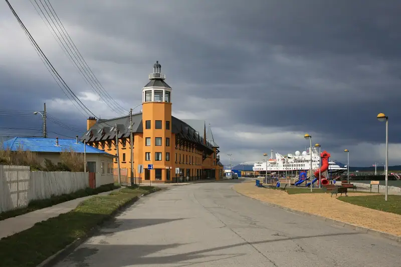
Puerto Natales, the essential starting point for Torres del Paine: what to do, where to stay, how to get there and practical tips.
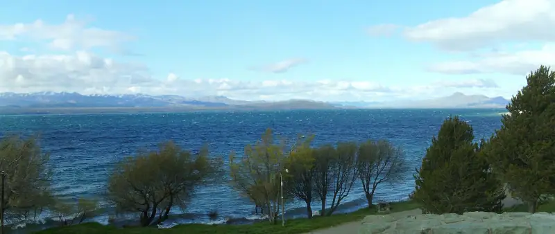
Bariloche: Nahuel Huapi, Cerro Catedral, artisan chocolate, treks and road trips in the Lake District. A complete guide for your stay.
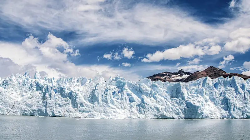
El Calafate in Patagonia: Perito Moreno Glacier, Lago Argentino, lodging, restaurants and practical tips for a successful stay at the end of the world.
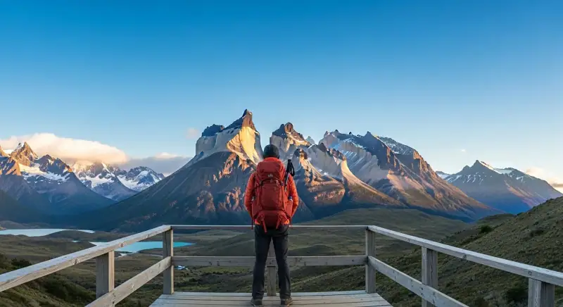
Estimate the cost of your Patagonia trip: lodging, transport, meals, activities. All the prices in detail for small or big budgets.
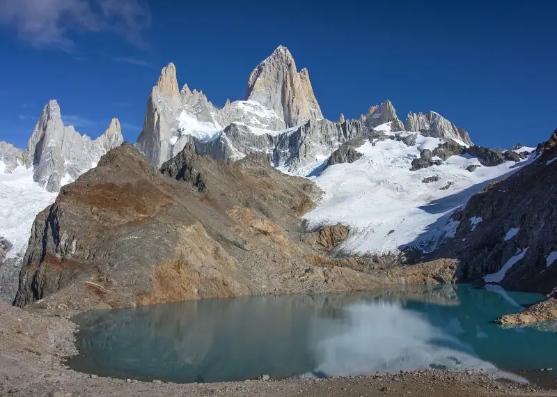
Which season to choose for Patagonia? Weather, crowds, prices and events month by month to plan your ideal trip.
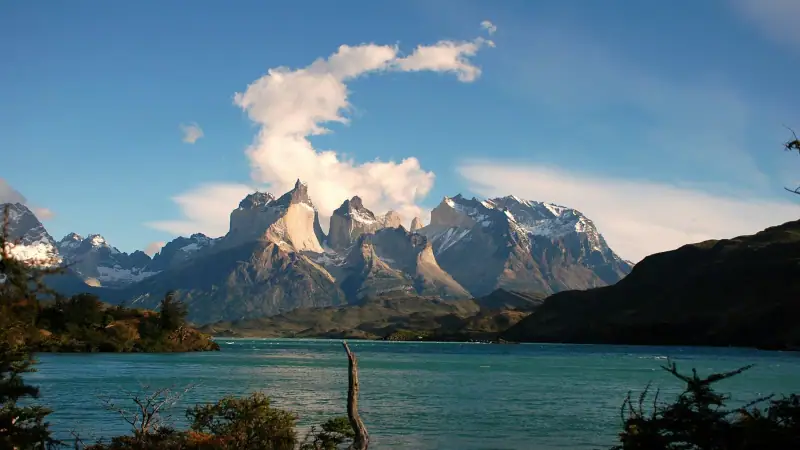
Without a car, where to sleep to visit Torres del Paine: El Calafate or Puerto Natales? Bus, budget, distance and neighborhood comparison to choose well.
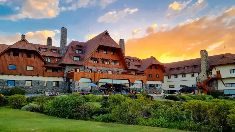
Bariloche lodging guide: centro, Cerro Catedral, Lake Nahuel Huapi. Hotels, lodges and hostels for a successful stay in Argentine Patagonia.
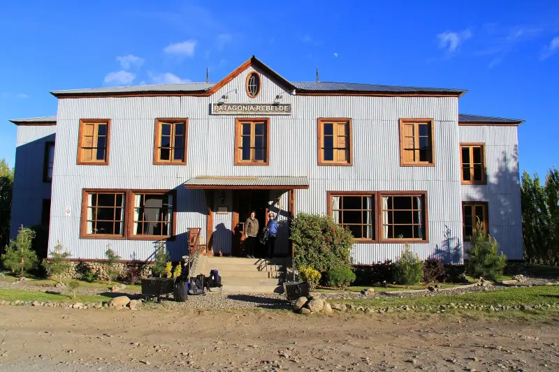
Lodging in El Calafate: neighborhoods, hotels and lodges for every budget. Book at the best price for your Perito Moreno Glacier visit.
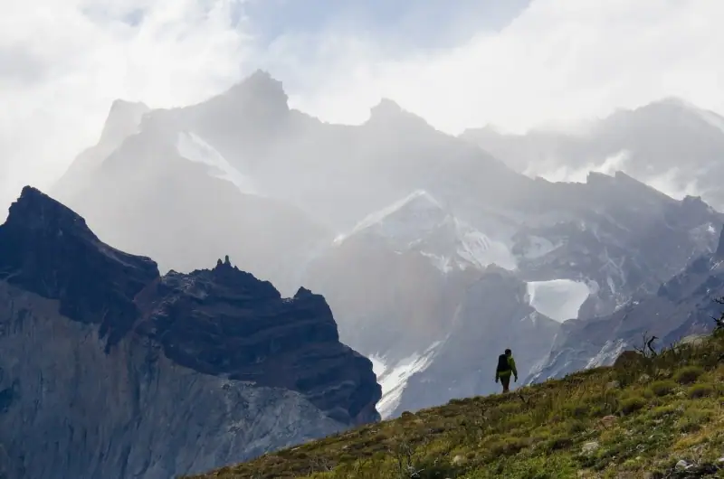
A selection of the best hikes in Patagonia: Fitz Roy, Torres del Paine, Cerro Torre, Cerro Martial... From easy trail to demanding trek, all the info.
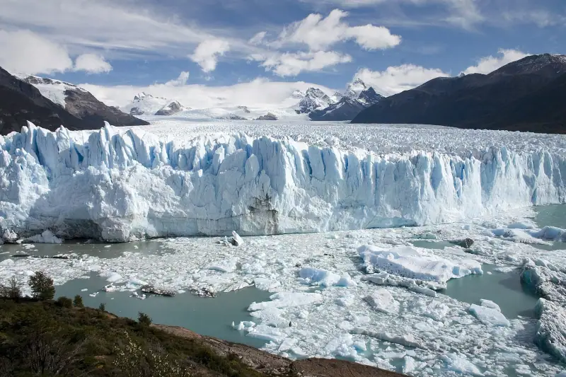
Everything about the Perito Moreno Glacier: access, activities, ice mini-trek, hours and prices. Tips for an unforgettable visit.
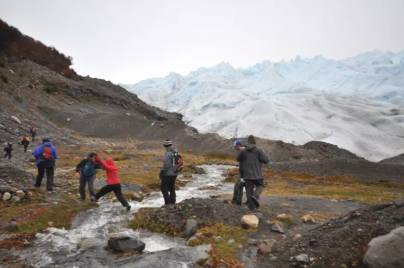
Complete guide to the Torres del Paine trek: W circuit, full circuit, difficulty, gear and reservations. Make your Patagonia trek a success.
Itineraries
Full articles, with the days in order and where to sleep.
10 days
BarilocheEl CalafateEl ChalténUshuaia
12 days
El CalafateEl ChalténPuerto NatalesPunta Arenas
21 days
BarilocheEsquelPerito Moreno townEl ChalténEl CalafatePuerto NatalesPunta ArenasUshuaia
| Jan | Feb | Mar | Apr | May | Jun | Jul | Aug | Sep | Oct | Nov | Dec | |
|---|---|---|---|---|---|---|---|---|---|---|---|---|
| Punta Arenas | ||||||||||||
| High °F (°C) | 5412 | 5412 | 5211 | 489 | 436 | 394 | 394 | 415 | 457 | 489 | 5010 | 5412 |
| Low °F (°C) | 457 | 457 | 436 | 415 | 373 | 341 | 341 | 341 | 362 | 373 | 415 | 436 |
| Ushuaia | ||||||||||||
| High °F (°C) | 5211 | 5010 | 489 | 436 | 394 | 341 | 341 | 362 | 394 | 457 | 468 | 5010 |
| Low °F (°C) | 394 | 394 | 373 | 362 | 320 | 28-2 | 27-3 | 28-2 | 30-1 | 320 | 362 | 373 |
| Rain in (mm) | 3.075 | 2.870 | 2.870 | 2.665 | 2.255 | 2.255 | 2.050 | 1.845 | 1.845 | 2.050 | 2.460 | 3.075 |
Normals 1991–2020 at Punta Arenas and Ushuaia: averages over 30 years, not a forecast. Source: NASA POWER (MERRA-2), grid of about 50 km. Figures computed by us in November 2026. Rain is shown only where a weather station confirms the figures.
Seasons, festivals and road closures: Best time to visit Patagonia: the guide to the seasons
Or build your own
Pick your days and your pace. The planner orders the stops, divides up the nights and gives the real drive times.
A 10-day example: 8 h 30 of travel in total (557 km / 346 mi).
Open the planner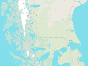
8 stops
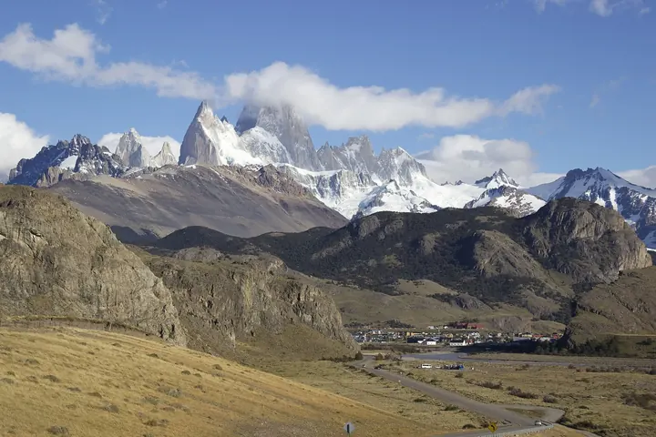 Photo: Creando / Wikimedia Commons (CC BY-SA 4.0)
Hiking village at the foot of Fitz Roy, 3 h by bus or road from El Calafate. Laguna de los Tres and Laguna Torre.
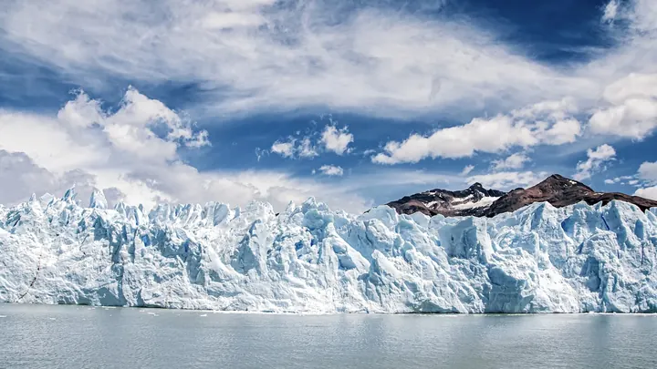 Photo: Rafael Hoyos Weht / Unsplash
Base for the Perito Moreno Glacier, on the shore of Lago Argentino. The airport is about 15 minutes from the center.
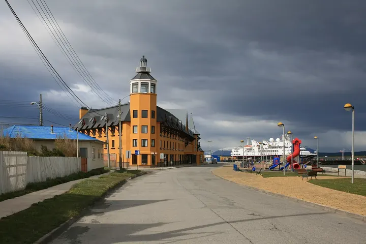 Photo: Diego Delso / Wikimedia Commons (CC BY-SA 3.0)
Chilean town on the Última Esperanza fjord, about 260 km (162 mi) from El Calafate. Starting point for Torres del Paine.
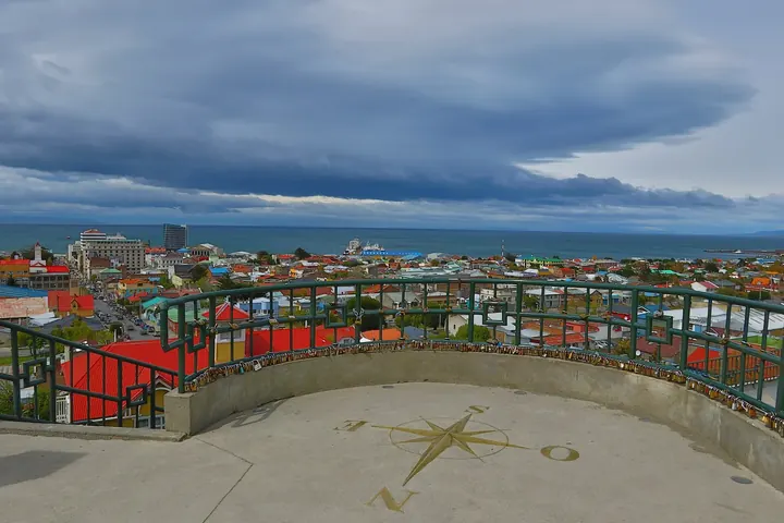 Photo: Aakerueh / Wikimedia Commons (CC BY-SA 4.0)
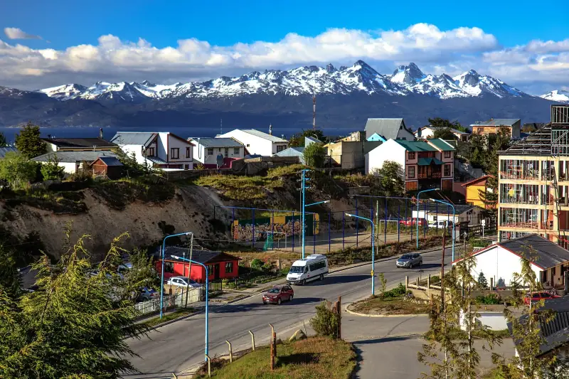
Capital of Magallanes on the Strait of Magellan, 3 h by road from Puerto Natales. Cemetery, Sara Braun Palace and penguins.
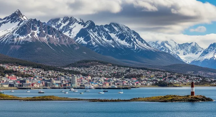
The southernmost city in the world, on the Beagle Channel. Connected by road and ferry (Primera Angostura) from Punta Arenas, 8 to 10 h.
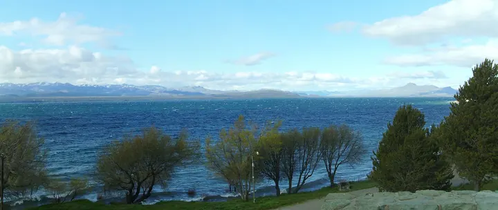 Photo: bullit / Wikimedia Commons (CC BY 3.0)
Gateway to the Lake District, on the shore of Lake Nahuel Huapi. Circuito Chico, Cerro Catedral and chocolate shops.
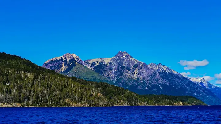 Photo: Florian Delée / Unsplash
Stop on Ruta 40 heading south, about 300 km (186 mi) from Bariloche. Base for Los Alerces National Park and the La Trochita train.
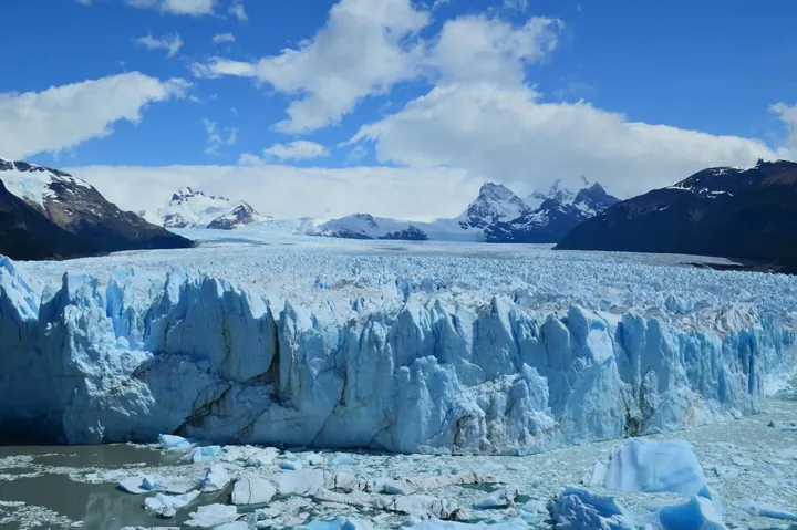 Photo: Luciano Corrêa Teixeira / Pexels
Small town on Ruta 40, not to be confused with the glacier. Access point to the Cueva de las Manos, a UNESCO site.
Keep exploring
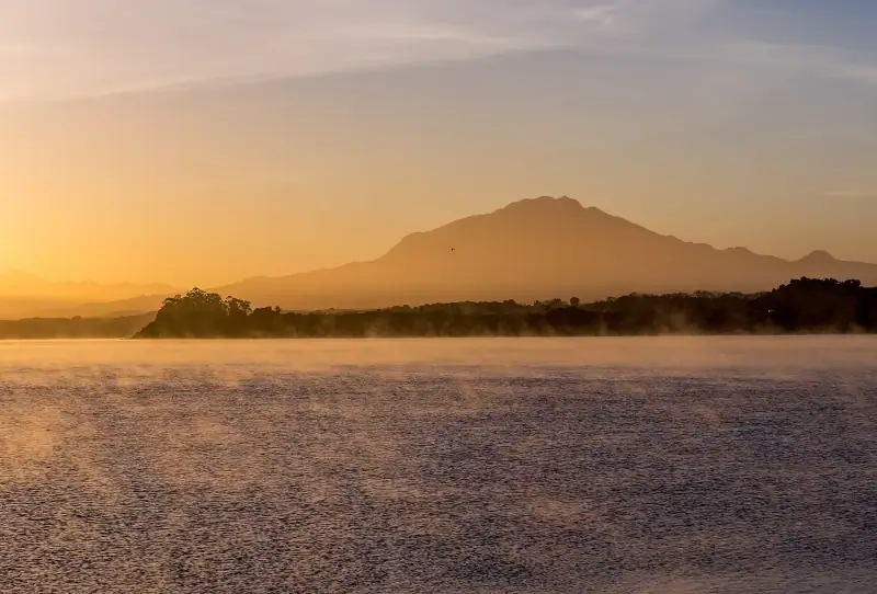
Desert to glaciers · Chile
The Atacama Desert, Santiago and the wine valleys, the lakes and volcanoes of the south, along a country 4,000 km long.
18 guides3 itinerariesTrip planner
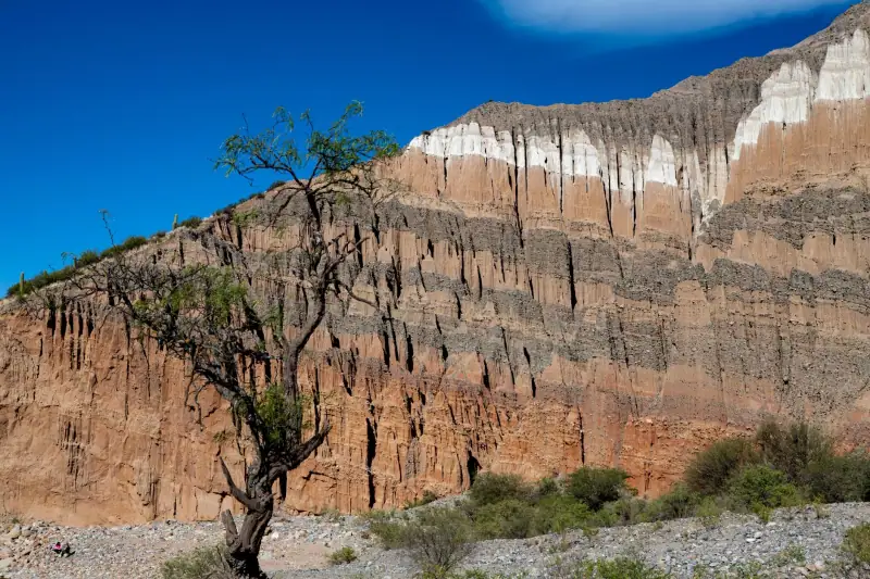
Pampas & Andes · Argentina
Buenos Aires, the Iguazú Falls, the red canyons of the northwest and the glaciers of Patagonia.
18 guides4 itinerariesTrip planner
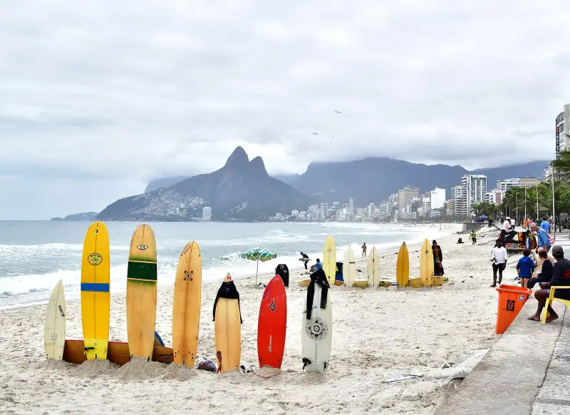
Rio, falls & wild nature · Brazil
Rio de Janeiro, Paraty and Ilha Grande, the Iguaçu Falls, Salvador, the Pantanal and the Amazon around Manaus.
18 guides1 itinerary