Things to do
Hiking in Patagonia: the 12 most beautiful treks not to miss
We may earn a commission when you book through links on this page, at no extra cost to you. We don't visit or try the places we cover: we summarize published sources. How we work
In short
- Twelve hikes, easiest to hardest; the emblems are Laguna de los Tres (21 km / 13 mi, 8-10 h) and the Base Las Torres viewpoint (19 km / 12 mi).
- Easiest picks: Laguna Capri at El Chaltén (8 km / 5 mi, 3-4 h) and the Mirador de los Cóndors (10 km / 6 mi, 3-4 h).
- Trails are paid in parts: El Chaltén via the Los Glaciares ticket (about 50,000 ARS a day in early 2026, to be checked) and Torres del Paine online at pasesparques.cl.
- Strong wind is the main risk, with gusts of 100+ km/h (62+ mph): tell the rangers your itinerary and turn back if conditions worsen.
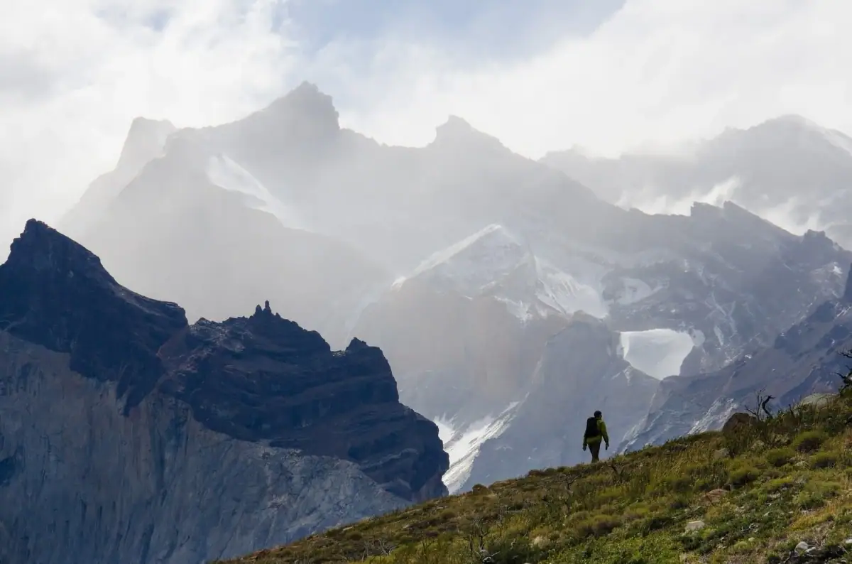
Patagonia is one of the best hiking destinations in the world. Between the vertical spires of Fitz Roy, the granite towers of Torres del Paine, glaciers reachable on foot and wildlife everywhere, every trail is an adventure. Here is a selection of the 12 most beautiful hikes, ranked from the most accessible to the most demanding.
The must-do hikes
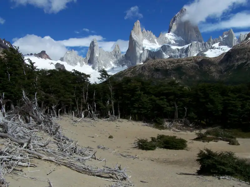
1. Laguna de los Tres, El Chaltén (Argentina)
The emblematic hike of Argentine Patagonia.
- Distance: 21 km (13 mi) round trip
- Elevation gain: +900 m (2,953 ft)
- Duration: 8-10 hours
- Difficulty: ★★★★☆
- Season: November-March
The trail starts right from the center of the village of El Chaltén and climbs gradually to Laguna de los Tres (1,170 m / 3,839 ft), a glacial lake with turquoise water dotted with icebergs, right at the foot of Fitz Roy. The last climb (400 m / 1,312 ft of elevation in 1 km) is steep and exposed to wind. The reward: one of the most spectacular views in Patagonia. In clear weather, Fitz Roy is reflected in the still lake.
Tip: Start very early (7 am) for the best weather and to avoid crowds. Bring a picnic and water.
2. Base Las Torres viewpoint, Torres del Paine (Chile)
The emblematic image of Chilean Patagonia.
- Distance: 19 km (12 mi) round trip (from the Las Torres hotel)
- Elevation gain: +700 m (2,297 ft)
- Duration: 8-10 hours
- Difficulty: ★★★★☆
- Season: November-March
The trail follows the Ascencio valley before the final climb over glacial moraine. The towers (1,800-2,850 m / 5,906-9,350 ft) reveal themselves gradually. Sunrise lights them up in an unforgettable orange-red, which is why most trekkers bivouac at the Chileno refuge the night before.
3. Valle del Francés, Torres del Paine (Chile)
The wildest trek of the W circuit.
- Distance: 20 km (12 mi) (round trip from Paine Grande)
- Duration: 8-10 hours
- Difficulty: ★★★☆☆
The French Valley is framed by hanging glaciers that frequently break off with a roar. The cuernos (horns) of Paine dominate the valley. The Mirador Británico, at the end of the valley, offers one of the most complete views in the park.
4. Laguna Torre, El Chaltén (Argentina)
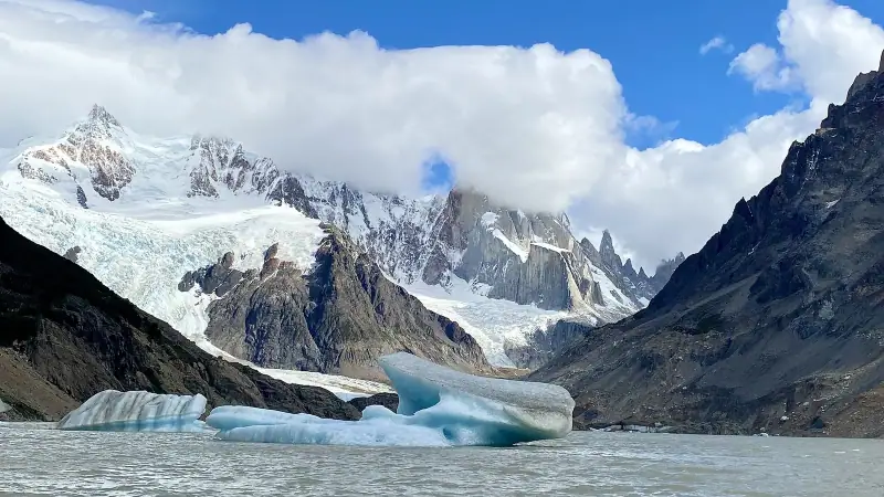
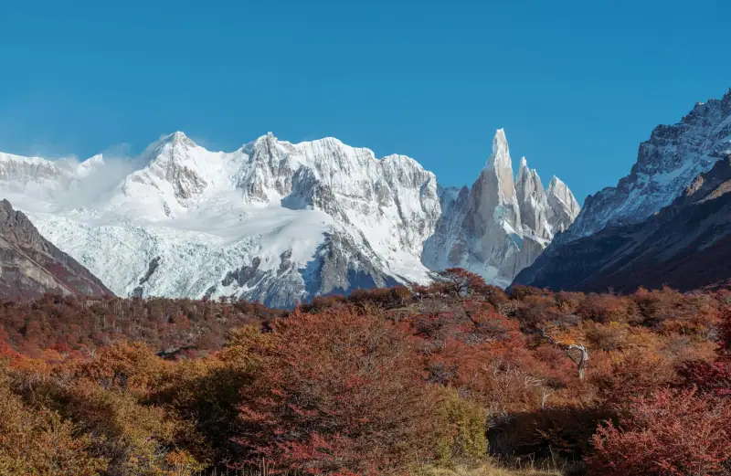
To see the mysterious Cerro Torre.
- Distance: 18 km (11 mi) round trip
- Elevation gain: +600 m (1,969 ft)
- Duration: 6-8 hours
- Difficulty: ★★★☆☆
Cerro Torre (3,128 m / 10,262 ft) is considered by climbers to be one of the most difficult walls in the world. From Laguna Torre, you glimpse the spire covered in rime ice mushrooms depending on conditions, a fascinating sight often shrouded in mystery.
Guided hikes in Patagonia
Guided trekking with a certified guide, all equipment provided.
Intermediate hikes (5-8 h)
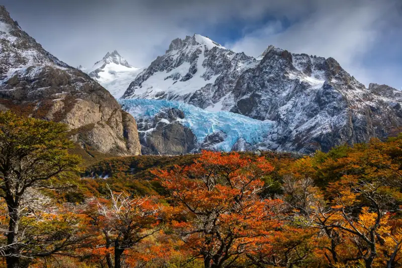
5. Mirador de los Cóndors, El Chaltén
The best panorama reachable from El Chaltén.
- Distance: 10 km (6 mi) round trip
- Duration: 3-4 hours
- Difficulty: ★★☆☆☆
This hike starts in the village itself and climbs to a viewpoint overlooking the Río de las Vueltas valley, Lake Viedma and the Fitz Roy towers in the distance. Ideal for your arrival day in El Chaltén or for less experienced hikers.
6. Mirador de las Águilas, El Chaltén
Longer and more isolated than the Mirador de los Cóndors.
- Distance: 14 km (9 mi) round trip
- Duration: 5-6 hours
- Difficulty: ★★★☆☆
A continuation of the Cóndors trail, this viewpoint offers even wider views of the massif. Less crowded, with a wilder feel.
7. Cerro Martial, Ushuaia (Argentina)
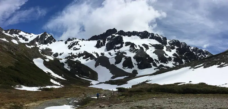
The reference hike in Ushuaia.
- Distance: 8 km (5 mi) round trip (from the chairlift)
- Duration: 3-4 hours
- Difficulty: ★★☆☆☆
Reachable by taxi or on foot from downtown Ushuaia, this trail climbs through Antarctic beech forests toward the glacial moraine of Cerro Martial. Panoramic view of the Beagle Channel, the town of Ushuaia and the Chilean mountains opposite.
8. Laguna Capri, El Chaltén (Argentina)
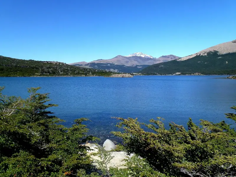
The easy hike with a view of Fitz Roy.
- Distance: 8 km (5 mi) round trip
- Duration: 3-4 hours
- Difficulty: ★★☆☆☆
Laguna Capri is an intermediate stage on the Fitz Roy trail. Perfect as a short hike, it offers a first magnificent view of the towers. Accessible to families with children in good physical shape.
Difficult hikes and multi-day treks
9. Glaciar Grey, Torres del Paine (Chile)
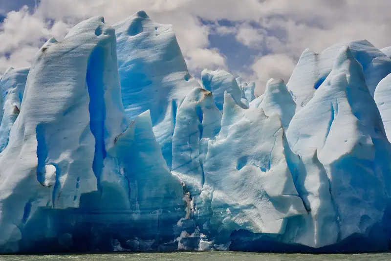
Walking to the glacier on the south side.
- Distance: 16 km (10 mi) round trip
- Duration: 6-8 hours
- Difficulty: ★★★☆☆
From the Grey refuge, this trail follows Lago Grey with views of the icebergs and the glacier front. At the end of the hike, you find yourself a few meters from the blue ice.
10. John Gardner Pass, Torres del Paine (Chile)
The high point of the O circuit.
- Distance: 23 km (14 mi) (a stage of the O circuit)
- Duration: 8-10 hours
- Difficulty: ★★★★★
John Gardner Pass (1,200 m / 3,937 ft) is the most demanding passage in the park. The climb is steep, often windy and sometimes snowy. The descent on the west side opens onto a superb view of the Grey Glacier in its full extent, considered the most beautiful view in Torres del Paine.
Required: Multi-day trekking experience, good physical condition, full equipment.
11. Cerro Torre Base Camp, El Chaltén (Argentina)
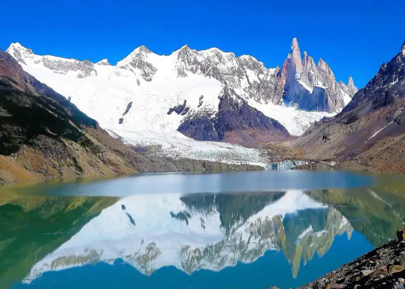
The approach to the climbers’ base camp.
- Distance: 25 km (16 mi) round trip
- Duration: 2 days (bivouac at Poincenot campsite)
- Difficulty: ★★★★☆
This extended trek reaches the historic base camp where climbers such as Messner and Maestri set up their headquarters. Direct view of the Torre at sunrise and sunset.
12. Cerro Catedral, Bariloche (Argentina)
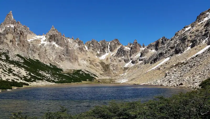
The big hike of the Lake District.
- Distance: Variable (12-25 km / 7-16 mi depending on the route)
- Duration: 6-10 hours
- Difficulty: ★★★★☆
From the Catedral ski resort, trails lead to the summits (2,200 m / 7,218 ft) with panoramas of the glacial lakes and the Andes. One of the most beautiful hikes in northern Patagonia.
Lodging for hikers
Hostels, refuges and lodges in all the trekking areas.
Practical tips for hiking in Patagonia
Before you go
- Train: the trails are long and hilly, good fitness is essential
- Check the weather: Weather Underground and Meteochile for Chilean Patagonia
- Tell the rangers your itinerary before each long outing
- Download offline maps: Maps.me with the offline map, or Wikiloc
Minimum gear
- Waterproof hiking shoes with lugged soles
- Waterproof windbreaker (mandatory, the wind is everywhere)
- Warm layers even in summer
- Water (3 L / 0.8 gal minimum for long days)
- Trekking poles (very useful on steep climbs)
- SPF 50+ sun protection (intense sun at altitude)
Rules to follow
- Stay on marked trails: off-trail is forbidden in the parks
- No campfires
- Take all your trash with you
- Respect wildlife: never feed the animals
Frequently asked questions
Are the hiking trails in Patagonia free?
No. At El Chaltén (Fitz Roy, Cerro Torre), trail access has been paid since late 2024 (Los Glaciares National Park ticket, to be bought online; about 50,000 ARS a day in early 2026, to be checked). In Torres del Paine (Chile), park entry is paid and can only be bought online in advance at pasesparques.cl (new rate scale since May 2026, check the fee), and refuges must be booked in advance. In Ushuaia, Tierra del Fuego National Park is paid for foreigners (about 40,000 ARS in early 2026, to be checked on the Parques Nacionales site).
What is the easiest hike in Patagonia?
Laguna Capri from El Chaltén (8 km / 5 mi round trip, +350 m / 1,148 ft elevation gain, 3-4 h) is one of the most accessible, with a fine view of Fitz Roy. The loop around Lago Argentino at El Calafate is also very easy.
Do you need a guide to hike in Patagonia?
For the marked trails of El Chaltén and Torres del Paine, a guide is not mandatory. It is recommended for high-altitude hikes, technical crossings (John Gardner Pass) or if you are new to mountain hiking.
Can you hike in Patagonia in winter?
Most high-altitude trails close from May to October. El Calafate stays accessible all year. Bariloche offers winter hikes and skiing. In austral summer (Nov-March), all trails are open.
What are the risks of hiking in Patagonia?
Strong wind is the main risk: gusts of 100+ km/h (62+ mph) can destabilize you. Sudden weather changes can surprise you at altitude. Always tell the rangers your itinerary, stay on the trails and turn back if conditions deteriorate.
More Patagonia guides
Keep reading
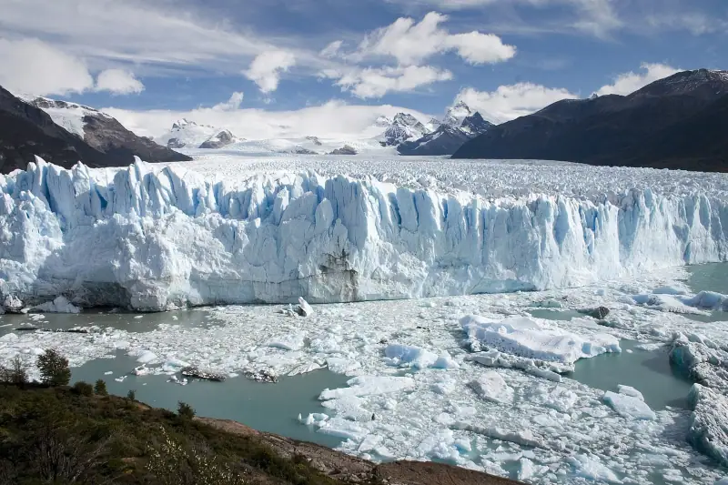
Perito Moreno Glacier: visiting, activities and practical tips
Everything about the Perito Moreno Glacier: access, activities, ice mini-trek, hours and prices. Tips for an unforgettable visit.
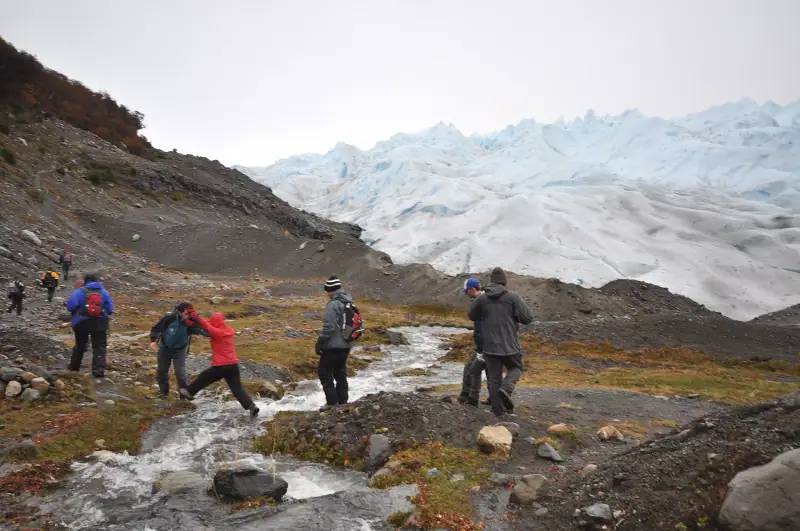
Torres del Paine trek: the complete guide to the W circuit and the full circuit
Complete guide to the Torres del Paine trek: W circuit, full circuit, difficulty, gear and reservations. Make your Patagonia trek a success.
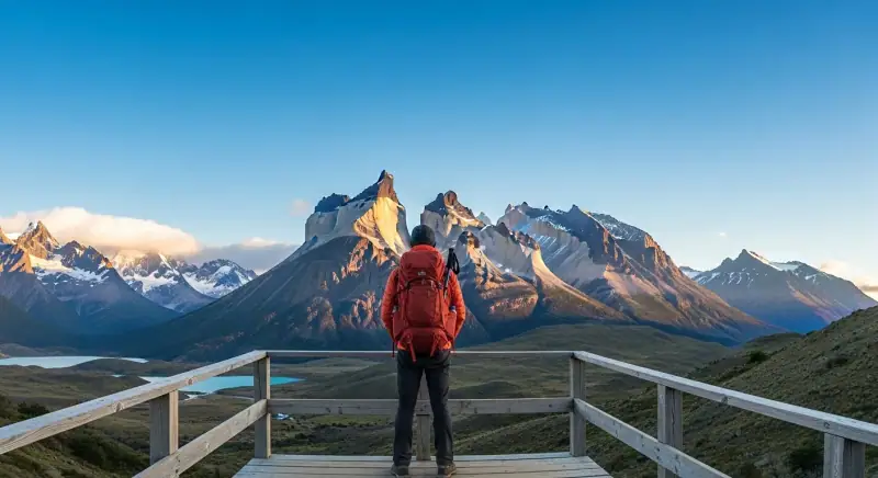
Patagonia budget: how much does a trip cost in 2026?
Estimate the cost of your Patagonia trip: lodging, transport, meals, activities. All the prices in detail for small or big budgets.
Ready-made
Patagonia itineraries
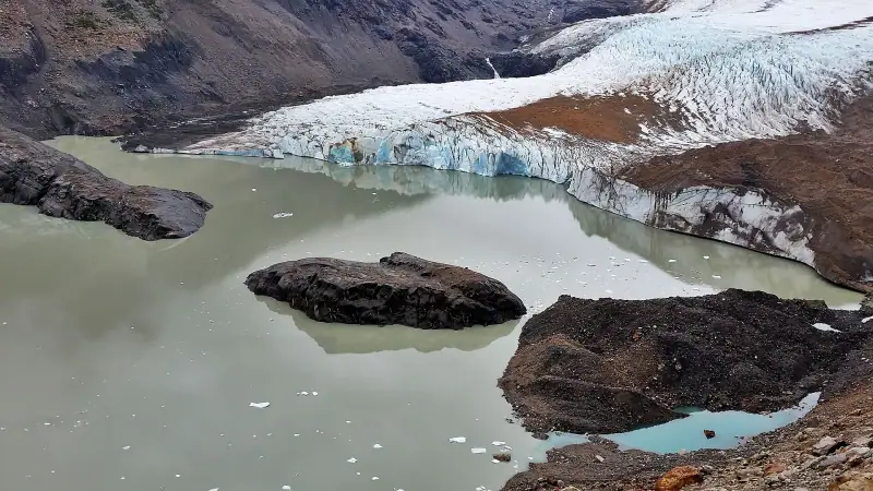
21 days
Patagonia road trip: a 3-week itinerary by car
BarilocheEsquelPerito Moreno townEl ChalténEl CalafatePuerto NatalesPunta ArenasUshuaia
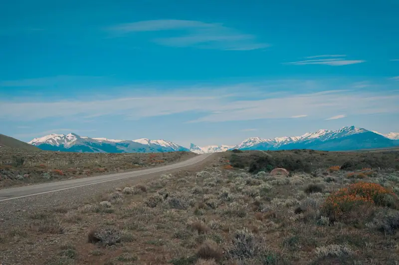
12 days
Patagonia in 12 days without a car: a realistic bus itinerary
El CalafateEl ChalténPuerto NatalesPunta Arenas
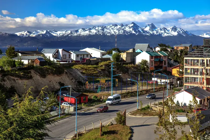
10 days
Patagonia 10-day itinerary: from Bariloche to Ushuaia
BarilocheEl CalafateEl ChalténUshuaia