Itineraries
Patagonia road trip: a 3-week itinerary by car
We may earn a commission when you book through links on this page, at no extra cost to you. We don't visit or try the places we cover: we summarize published sources. How we work
Day by day
- Days 1-3Bariloche: Cerro Catedral, Circuito Chico, chocolate shops, Llao Llao
- Days 4-5Esquel, Los Alerces National Park, La Trochita train
- Days 6-7Perito Moreno town and the Cueva de las Manos
- Days 8-10El Chaltén: Laguna de los Tres and Laguna Torre treks
- Days 11-12El Calafate and the Perito Moreno Glacier
- Days 13-15Border crossing to Puerto Natales, Torres del Paine
- Day 16Punta Arenas: cemetery, Isla Magdalena penguins
- Days 17-19Ferry to Tierra del Fuego, Ushuaia and its sights
- Days 20-21Puerto Madryn and the Valdés Peninsula
Where to sleep
- Bariloche3 nights
- Esquel2 nights
- Perito Moreno town2 nights
- El Chaltén3 nights
- El Calafate2 nights
- Puerto Natales3 nights
- Punta Arenas1 night
- Ushuaia3 nights
In short
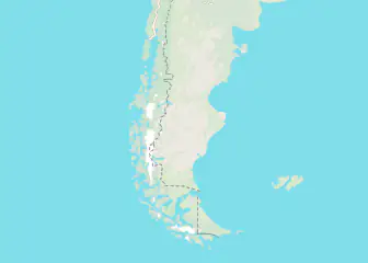
- The route runs 21 days from Bariloche to Ushuaia, with stops at Esquel, Perito Moreno town, El Chaltén, El Calafate, Puerto Natales and Punta Arenas.
- An SUV or 4x4 is recommended for gravel roads (ripio); expect an average of 40 to 60 km/h (25 to 37 mph) on gravel.
- Key legs: Bariloche to Esquel 300 km (186 mi), El Chaltén to El Calafate 240 km (149 mi), El Calafate to Puerto Natales 260 km (162 mi).
- Renting in Argentina and returning in Chile is rarely possible; ask the agency for written authorization before booking.
A Patagonia road trip is one of the most legendary driving adventures in the world. Crossing endless pampas under an immense sky, driving past glaciers that reach down to the water, going from Argentina to Chile over dizzying Andean passes: it is unlike any other experience. Here is a 3-week itinerary for the open roads of Patagonia.
Essential preparation before you go
Choosing your vehicle
SUV or 4x4: The best choice for Patagonia. Ground clearance for flooded areas in the rainy season, a powerful engine for gravel roads (ripio) and better stability in strong wind.
Pickup truck: Very popular with long-term travelers. It lets you carry plenty of camping gear.
Regular car: Possible for a route strictly on paved roads (the main Ruta 40, national roads), but limiting.
Suggested agencies: Sixt, Hertz and local agencies such as Localiza in Argentina.
Road trip survival kit
- Two spare tires (flats are frequent on ripio)
- Fuel jerry can (5-10 L / 1.3-2.6 gal)
- Tire repair kit
- Jumper cables
- Satellite phone or SPOT beacon (recommended for very isolated areas)
- Paper maps in addition to GPS (no signal in remote areas)
Car rental in Patagonia
Compare agencies and book your SUV or 4x4 at the best price.
21-day itinerary: Bariloche to Ushuaia
Stage 1: Bariloche (days 1-3)
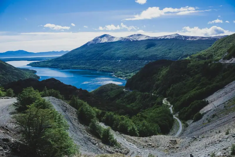
Arrive by plane from Buenos Aires in Bariloche, the gateway to the Patagonian Lake District. The town sits on Lake Nahuel Huapi in a beautiful alpine setting.
What to do:
- Hike at Cerro Catedral (1,490 m / 4,888 ft), with a panorama over the Andes and the lakes
- Drive the Circuito Chico (a 60 km / 37 mi scenic road around the lake)
- Visit the chocolate shops: Bariloche is the “capital of Argentine chocolate”
- Take a boat across to the Llao Llao peninsula and its legendary hotel
Distance from Bariloche to the next stage: 300 km (186 mi)
Stage 2: Esquel and Los Alerces National Park (days 4-5)
Heading south on Ruta 40, Esquel and Los Alerces National Park deserve a detour. The park shelters thousand-year-old alerce trees (Fitzroya cupressoides), the oldest trees in South America (up to 4,000 years).
Route: Bariloche to Esquel (300 km / 186 mi, 4 h on paved road).
What to do:
- Take a boat across Lake Futalaufquen to see the giant alerce trees
- Hike to Glaciar Torrecillas
- Ride “La Trochita”, Patagonia’s famous narrow-gauge train
Stage 3: Perito Moreno town and the Cueva de las Manos (days 6-7)
Not to be confused with the glacier of the same name! The town of Perito Moreno is a hub for reaching the Cueva de las Manos, a UNESCO World Heritage site.
Distance: Esquel to Perito Moreno town (330 km / 205 mi, 4 h 30).
The Cueva de las Manos holds 9,000-year-old rock paintings: negative handprints and depictions of guanacos and hunting scenes in a spectacular canyon.
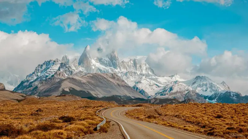
Stage 4: El Chaltén and the Fitz Roy massif (days 8-10)
One of the highlights of the trip. El Chaltén is 3 h 30 by road from the main Ruta 40.
What to do:
- Laguna de los Tres (Fitz Roy) trek: 21 km (13 mi), 8-10 h, the must-do hike
- Laguna Torre (Cerro Torre) trek: 18 km (11 mi), 6-8 h, a mysterious atmosphere
- A walk along the río de las Vueltas for wildlife (condors, flamingos, guanacos)
See our guide to hiking in Patagonia for details.
Stage 5: El Calafate and the Perito Moreno Glacier (days 11-12)
240 km (149 mi) from El Chaltén (3 h). El Calafate is the base for visiting the Perito Moreno Glacier.
Don’t miss: The mini-trek on the glacier. Walking on the ice with crampons is an unforgettable experience.
For the full story, read our article on the Perito Moreno Glacier.
Stage 6: Crossing into Chile, Puerto Natales and Torres del Paine (days 13-15)
Border: El Calafate to Puerto Natales via the Dorotea crossing (260 km / 162 mi, 3 h 30). Entry rules depend on your passport. Check the official travel advice of your government before you book: travel.state.gov (US), GOV.UK (UK), travel.gc.ca (Canada), Smartraveller (Australia) (checked November 2026).
Puerto Natales is the gateway town for Torres del Paine. Prepare your trek and stock up on supplies.
Torres del Paine: If your fitness allows, choose the full day to the Base Las Torres viewpoint (an 18 km / 11 mi trek, 8 h). Otherwise, a drive through the park (panoramas of the Cuernos del Paine, Lake Pehoé and Grey Glacier) offers spectacular views.
Read our Torres del Paine guide.
Stage 7: Punta Arenas (day 16)
3 h by bus or car from Puerto Natales. The capital of the Magallanes region, Punta Arenas is a cosmopolitan city with a fascinating history of Croatian, English and Spanish settlers.
What to do:
- Sara Braun municipal cemetery, one of the most beautiful in Latin America
- Isla Magdalena penguin colony (October-March; Seno Otway no longer receives visitors, check locally)
- Museo del Recuerdo (history of the settlement)
Stage 8: Ferry to Tierra del Fuego and Ushuaia (days 17-19)
From Punta Arenas, there are two options to reach Ushuaia:
- Plane Punta Arenas to Ushuaia: no regular direct flight listed in 2026 (the last LATAM service ran until December 2025), so expect a stopover; check with the airlines
- Ferry + road: the Primera Angostura ferry (about 20-30 min) to Tierra del Fuego, then the road to the Argentine border and Ushuaia (8-10 h in total)
In Ushuaia:
- Tierra del Fuego National Park (12 km / 7 mi from town)
- Beagle Channel cruise (penguins, seals, albatrosses)
- End of the World Train (El Tren del Fin del Mundo)
- Hike up Cerro Martial for the panoramic view
Read our Ushuaia highlights.
Stage 9: Puerto Madryn and the Valdés Peninsula (days 20-21)
Option for the return: If you are flying from Buenos Aires, a detour through Puerto Madryn (1 h 30 flight from Ushuaia) is highly recommended. The Valdés Peninsula is one of the richest marine wildlife sites in the world.
What to do:
- Watch humpback whales (July-November) or orcas (April)
- Elephant seal colony at Punta Norte
- Magellanic penguins at Punta Tombo (200,000 pairs)
Read our guide to whale watching in Patagonia.
Map of key distances
| Leg | Distance | Time |
|---|---|---|
| Bariloche → Esquel | 300 km (186 mi) | 4 h |
| Esquel → El Chaltén | 630 km (391 mi) | 8 h |
| El Chaltén → El Calafate | 240 km (149 mi) | 3 h |
| El Calafate → Puerto Natales | 260 km (162 mi) | 3 h 30 |
| Puerto Natales → Punta Arenas | 250 km (155 mi) | 3 h |
| Punta Arenas → Ushuaia | 490 km (304 mi) (+ ferry) | 8-10 h |
Lodging along your route
Book stage by stage with free cancellation.
Tips specific to a road trip
- Leave early in the morning: Patagonian winds are generally weaker in the morning and pick up in the early afternoon
- Don’t underestimate distances: on ripio, expect an average of 40-60 km/h (25-37 mph)
- Check the weather before each stage: Andean passes can close without notice
- Keep your Tarjeta Única Migratoria (TUM) handed to you on entering Chile (on paper or in digital form): it will be asked for when you leave
- Photograph your car before taking possession: document every scratch to avoid disputes on return
Frequently asked questions
Do you need a 4x4 for a Patagonia road trip?
A high-clearance SUV or a 4x4 is recommended for gravel (ripio) roads. A regular car can be enough for paved national roads, but it will limit access to some areas. Check the conditions on your route before renting.
Can you rent a car in Argentina and return it in Chile?
It is rarely possible: most rental companies forbid or limit border crossings, and drop-off in the other country is often refused. If an agency accepts, it charges high fees (ask for the amount and the authorization in writing before booking). It is better to plan a loop or rent two separate cars.
Where do you fill up with gas in Patagonia?
Gas stations are far apart on the main roads. Always fill up whenever you pass through a town with a station. In remote areas (Carretera Austral, secondary roads), bring extra jerry cans.
Are the roads good in Patagonia?
Argentina's national roads (Ruta Nacional 40, etc.) are generally paved and in good condition. Secondary roads and Chile's Carretera Austral include gravel sections that can be difficult. Strong crosswind is the main risk to watch for.
What is phone coverage like in Patagonia?
Coverage is good in the main towns and on national roads, but nonexistent in remote areas and national parks. Download offline maps (Maps.me or Google Maps) and always tell someone your itinerary.
More Patagonia guides
Keep reading
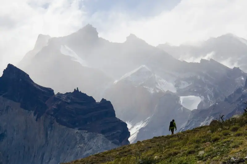
Hiking in Patagonia: the 12 most beautiful treks not to miss
A selection of the best hikes in Patagonia: Fitz Roy, Torres del Paine, Cerro Torre, Cerro Martial... From easy trail to demanding trek, all the info.
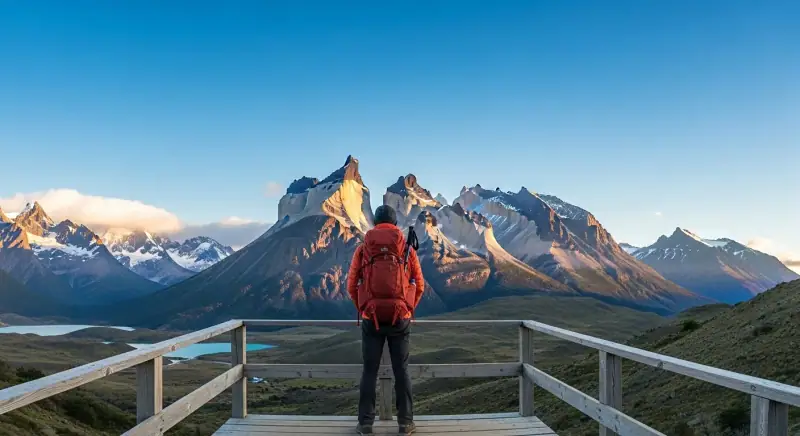
Patagonia budget: how much does a trip cost in 2026?
Estimate the cost of your Patagonia trip: lodging, transport, meals, activities. All the prices in detail for small or big budgets.
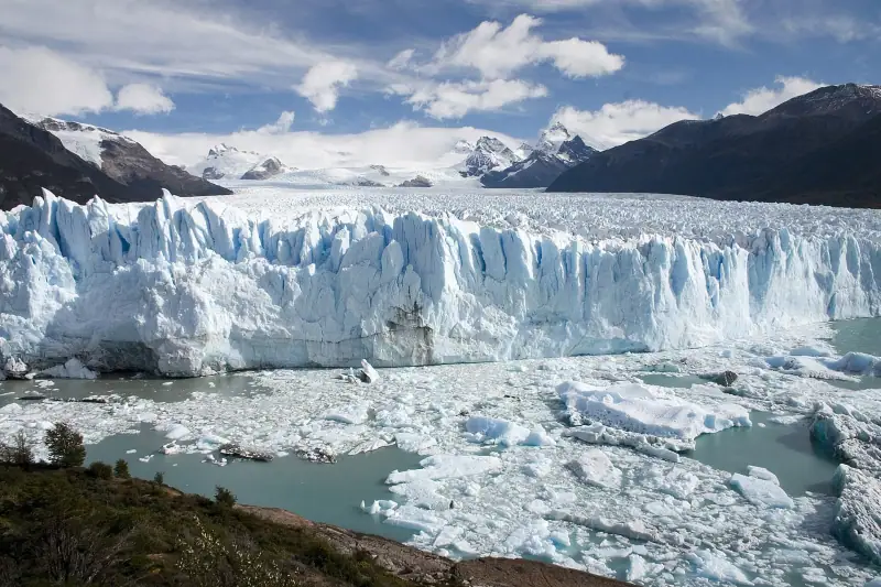
Perito Moreno Glacier: visiting, activities and practical tips
Everything about the Perito Moreno Glacier: access, activities, ice mini-trek, hours and prices. Tips for an unforgettable visit.
Ready-made
Patagonia itineraries
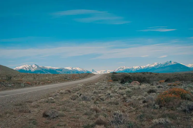
12 days
Patagonia in 12 days without a car: a realistic bus itinerary
El CalafateEl ChalténPuerto NatalesPunta Arenas
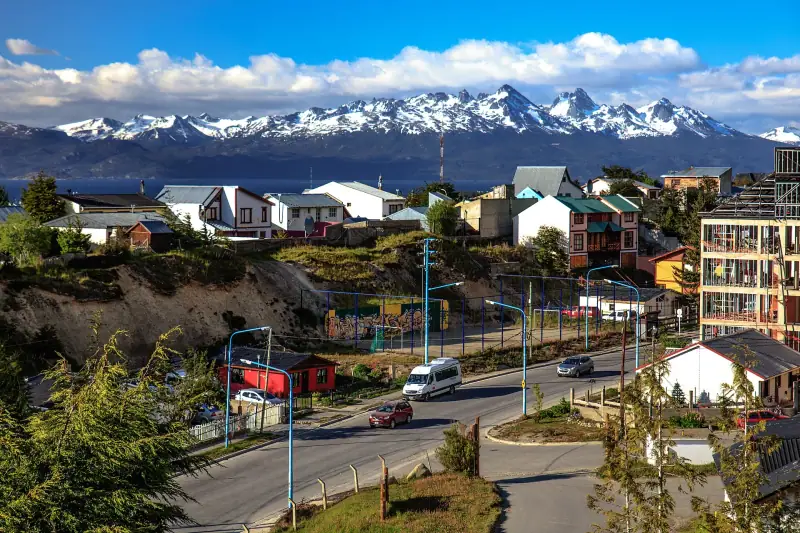
10 days
Patagonia 10-day itinerary: from Bariloche to Ushuaia
BarilocheEl CalafateEl ChalténUshuaia