What to see
What to see north of Quito: Pululahua, Cayambe, Ibarra and Cotacachi
We may earn a commission when you book through links on this page, at no extra cost to you. We don't visit or try the places we cover: we summarize published sources. How we work
In short
- Three to four days cover the essentials north of Quito: Pululahua and the equator line, Cayambe, Ibarra and Cotacachi, plus a free day for Otavalo.
- Distances are moderate (Cayambe about 70 km / 43 mi, Ibarra about 110 km / 68 mi from Quito), but traffic out of the capital and mountain roads slow the trip.
- The driest season, roughly June to September, gives the best chances of clear volcanoes; mornings are clearer than afternoons all year.
- Choose one area per day and start early; for a first outing, combine Pululahua and the Mitad del Mundo in a morning.
When people talk about north of Quito, most travelers immediately think of the Otavalo market and the Mindo cloud forest, which we already detailed in our article on Otavalo and Mindo as excursions from Quito. Yet the region holds many other faces: an inhabited crater where people farm the land, a snow-capped volcano crossed by the equator line, a white city with colonial lanes, a leather capital and crater lakes with deep waters.
This article explores these other facets of the northern Andes. It is for travelers who have already seen the essentials of the capital (if not, start with what to do in Quito in 3 days) and want to round out their stay with less visited landscapes and towns. For an overview of the country, also see our complete guide to Ecuador.
The Quito region and the North: geographic pointers
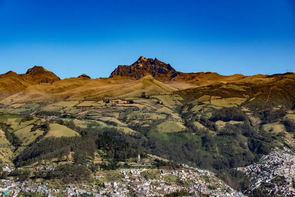
The north of Andean Ecuador stretches along a main road, the Pan-American Highway, which links Quito to the provinces of Pichincha, Imbabura and Carchi. This valley is lined with volcanoes, several well above 4,000 m (13,125 ft), and agricultural highlands where haciendas, Kichwa villages and small colonial towns mix.
Here is a simple breakdown of the areas to keep in mind to organize your outings:
| Area | What you see | Suggested duration |
|---|---|---|
| Immediately north of the capital | Mitad del Mundo, Pululahua crater | Half a day to a day |
| Northeast | Cayambe volcano, Cayambe-Coca reserve, Quitsato sundial | One day |
| Imbabura | Ibarra, Imbabura volcano, lakes, craft villages | One to two days |
| Around Cotacachi | Leather town, Lake Cuicocha | One day |
| Otavalo and Mindo | Market, Peguche waterfall, cloud forest | See our dedicated article |
Distances remain reasonable: Cayambe is about 70 km (43 mi) northeast of the capital, and Ibarra about 110 km (68 mi). Still, allow more time than the map suggests, as traffic leaving Quito, roadworks and mountain roads often slow progress.
The Pululahua crater and the Mitad del Mundo
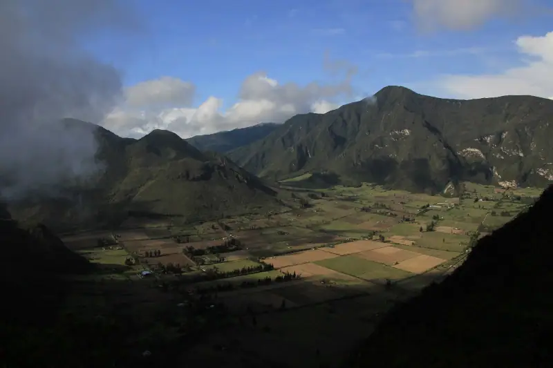
About twenty kilometers (12 mi) north of the capital, the Pululahua Geobotanical Reserve protects one of the country’s most distinctive landscapes: a vast volcanic crater whose floor is occupied by cultivated fields. It is one of the few inhabited craters in the world. Clouds often pour in around midday, giving the whole scene an almost unreal atmosphere.
A balcony over the crater
The classic experience is to go to the viewpoint overlooking the crater, then enjoy the view while walking a little along the rim. It is best to arrive early in the morning: the clouds are still absent and the crater floor shows in all its geometry. If fog settles in, wait a few minutes; it sometimes clears as quickly as it came.
For fit walkers, a trail descends into the crater. The descent is pleasant, but the climb back is at an already high altitude: bring water, a hat, a windbreaker and enough time. If you have just arrived in Ecuador, keep the hike for a later day.
The equator line
The Mitad del Mundo monument is nearby. It is a very popular and easily accessible visit, which we already covered in our Quito in 3 days itinerary. Just remember that this site is one of the busiest in the region: going early avoids the crowd, and pairing it with Pululahua makes a nice half day.
The basic entrance fee remains modest, as we explain in our guide to the budget in Ecuador.
🎟️ Excursion north of Quito: several half-day or day outings combine the equator line, the Pululahua crater and other stops, with transport from Quito. Handy if you prefer not to manage the trips.
Cayambe: a volcano on the equator line
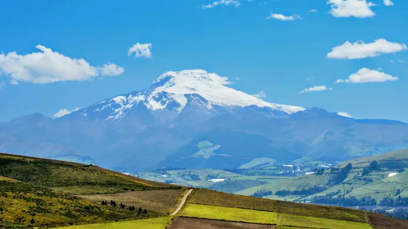
Cayambe is the country’s third-highest peak, at about 5,790 m (18,995 ft). Its particularity is geographic: its south flank, at around 4,700 m (15,420 ft), is the highest place on the planet crossed by the equator line, and the only point on the line where there is snow. An ice cap covers the summit, giving the volcano an instantly recognizable silhouette in clear weather.
The town of Cayambe, at the foot of the volcano, is about 70 km (43 mi) northeast of Quito. It is known for its rural atmosphere, its dairy products and its small local pastries, which people often try along the way. A good part of the volcano is included in the Cayambe-Coca Ecological Reserve, a vast high-mountain protected area.
What you can do without being a mountaineer
The summit is reserved for seasoned mountaineers accompanied by a guide, but the region offers gentler alternatives:
- a vehicle excursion to the heights of the reserve, to admire the páramo landscapes (the Andean high-altitude moorland);
- a short walk around the lagoons;
- a visit to the Quitsato sundial, a monument on the equator line near Cayambe, quieter than the Mitad del Mundo;
- a stop in the neighboring villages, to taste local specialties.
Mind the altitude: above 4,000 m (13,125 ft), breath shortens quickly. For more on health and altitude, ask your doctor or a travel clinic (CDC in the US, TravelHealthPro in the UK), and see our health and formalities guide.
Ibarra: the white city at the foot of Imbabura
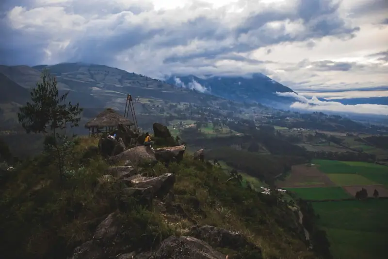
Ibarra, capital of Imbabura province, is about 110 km (68 mi) northeast of Quito, at an altitude of around 2,200 m (7,220 ft). The city spreads at the foot of Imbabura volcano and owes its nickname “white city” to its whitewashed colonial houses. Founded in 1606, it was hard hit by an earthquake in 1868, which explains why its center mixes old architecture and reconstructions.
Its climate is milder than Quito’s: you can walk comfortably all day in a simple light sweater.
What to do in Ibarra
The visit is done on foot, in a few hours:
- stroll the historic center and its squares, around the cathedral;
- visit Santo Domingo church, which houses a painting museum;
- taste northern Andean specialties in a market or a small traditional restaurant (on Saturdays, markets draw many people);
- watch the paragliders if the weather allows: the city has a well-known club.
Festival lovers can aim for late September, when the city celebrates the “Fiesta de los Lagos”, or July 16 for its colorful parades. Outside festival periods, Ibarra stays quiet and pleasant, with far fewer tourists than Otavalo.
Around Ibarra
Ibarra is a good base for exploring Imbabura without depending on the Otavalo crowd. The volcano of the same name dominates the landscape and the surrounding lakes offer fine viewpoints. To compare lodging possibilities in the province, our article on where to stay in Otavalo gives good pointers, as the town and its surroundings are close.
🏨 Where to stay in the northern Andes: a night in Ibarra or the nearby countryside avoids round trips from Quito and lets you enjoy the landscapes at the end of the day. Compare accommodation for your dates.
Cotacachi and Lake Cuicocha: leather and a crater
Cotacachi, at about 2,400 m (7,875 ft), is considered Ecuador’s leather capital. Its main street, lined with shops, offers bags, jackets, belts and shoes, often made in the town itself. Quality varies from shop to shop: take time to compare stitching, linings and fastenings before buying, and do not hesitate to negotiate reasonably.
The town is calmer than Otavalo, making it a quiet stop for lunch, wandering the lanes and watching local life. In a day, you can easily combine Cotacachi and Otavalo, the two towns being close to each other.
Lake Cuicocha
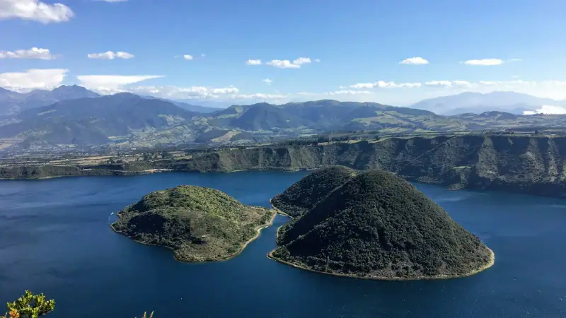
A few minutes from town by taxi, Lake Cuicocha fills the crater of an extinct volcano, at the foot of Cotacachi volcano. Its waters are deep, its two wooded islets look like a stage set, and the small boats that tour the lake let you enjoy the panorama effortlessly. A trail runs along the crater rim for walkers: the elevation gain is modest, but the altitude is high and the weather can change quickly.
Arrive in the morning, before the clouds, and bring warm layers even in the dry season. The wind can quickly cool the air at the water’s edge.
How to organize your circuit in the north
Depending on your length of stay, several formulas work well. The key is not to multiply daily trips from Quito.
Express formula: one day
Choose a single area. The simplest for a first time is to combine Pululahua and the Mitad del Mundo in the morning, then return to Quito for the afternoon. If you prefer towns, go for Cotacachi and Cuicocha with a driver.
Balanced formula: three days
- Day 1: Pululahua and Mitad del Mundo, back to Quito in the late afternoon.
- Day 2: Cayambe and its reserve (or the Quitsato sundial), on the way to Imbabura.
- Day 3: Ibarra, Cotacachi and Lake Cuicocha, before returning to the capital or continuing to Otavalo.
Relaxed formula: one week
Add Otavalo and Mindo, already detailed in our excursions article, then finish with the Avenue of the Volcanoes toward the south. This progression lets you start at moderate altitudes and end on higher sites.
🚗 Renting a car to explore the north: a car gives the freedom to stop in villages and adapt your pace. Compare rental companies for your dates.
Getting around, when to go and what to pack
Bus, taxi or driver
Intercity buses serve the main northern towns from the capital’s terminals, at a modest cost. They are frequent but sometimes crowded, and schedules are not always fixed. For remote sites (Pululahua, Cuicocha, the heights of Cayambe), a taxi or a day driver is often more practical: negotiate the fare in advance and confirm the return trip.
When to go
The dry season, roughly June to September, offers the best chances of seeing the volcanoes without clouds. The rest of the year, mornings remain the clearest moments. The month-by-month detail is in our guide to when to visit Ecuador.
In your bag
- a waterproof, windproof jacket, essential at altitude;
- several layers of clothing, as temperatures vary a lot between morning and afternoon;
- good walking shoes;
- sun protection and a hat, as the sun is intense at altitude;
- a water bottle and a few snacks;
- some cash in small bills for markets, site entrances and taxis;
- a pair of binoculars, useful for birds and panoramas.
Safety and common sense
The northern towns are generally calm, but the usual precautions apply: keep an eye on your belongings in markets, avoid flashing large bills, and leave nothing visible in a parked car. Check road conditions before leaving, especially after heavy rain.
Extending the trip
The north combines naturally with the rest of the country. After a few days in the region, most travelers continue south, or fly to the Galápagos. If you have not yet booked your flight, compare offers: fares vary a lot with the season and the length of stay.
✈️ Flights to Ecuador: compare airlines and stopovers to land in Quito under good conditions.
The key takeaway
The area north of Quito is very doable in three or four days: choose one area per day, start early to enjoy the clear mornings, and give yourself time at altitude.
Frequently asked questions
How many days do you need to discover the area north of Quito?
Three to four days let you see the essentials without rushing: half a day for Pululahua and the equator line, a day for Cayambe, a day for Ibarra and Cotacachi, plus a free day for Otavalo if you have not been yet. With only one day, focus on a single area.
Do you need to rent a car to visit north of Quito?
It is not essential. Buses link Quito to the main northern towns, and taxis or day drivers complete the trips to remote sites. A car gives more freedom, but mountain driving, fog and traffic leaving the capital call for experience.
Can you visit Pululahua and the Mitad del Mundo on the same day?
Yes, the two sites are close to each other, north of the capital. Many visitors combine the crater and the equator monument in half a day to a day, depending on how long you stay.
Can you climb Cayambe volcano?
Climbing to the summit is a mountaineering ascent reserved for experienced people with a mountain guide. Other visitors can enjoy the high-altitude landscapes of the Cayambe-Coca Ecological Reserve, in a far more accessible setting.
What is the best season to visit north of Quito?
The Andean dry season, roughly June to September, gives the best chances of seeing the volcanoes clear. The rest of the year is still pleasant, but mornings are often clearer than afternoons, when clouds rise. Always bring a waterproof jacket.
Is altitude a problem in this region?
Quito sits at about 2,800 m (9,190 ft), and several northern sites go clearly higher. For anything related to altitude and health, ask your doctor or a travel clinic, and see the official travel health pages (CDC in the US, TravelHealthPro in the UK).
More Ecuador guides
Keep reading
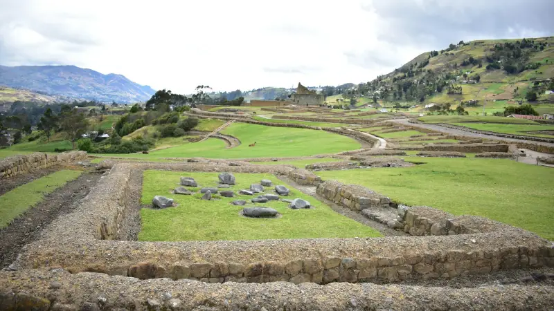
Ecuador's Southern Andes: what to see around Cuenca, from Ingapirca to Vilcabamba
What to see in the Southern Andes: Ingapirca, Gualaceo, Chordeleg, Saraguro, Loja and Vilcabamba. Travel times, stops, tips and route ideas beyond Cuenca.
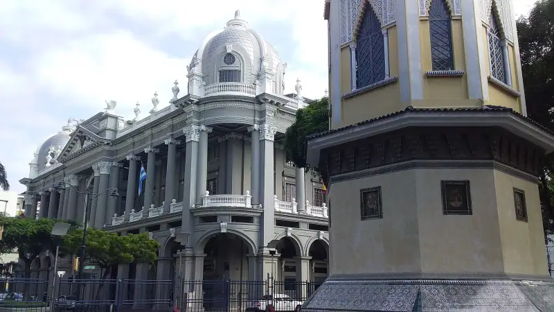
Visiting Guayaquil: what to see and do in Ecuador's big Pacific city
Malecón 2000, Las Peñas, Cerro Santa Ana, the iguana park, the cemetery, Santay Island: what to see and do in Guayaquil, gateway to the Galápagos.
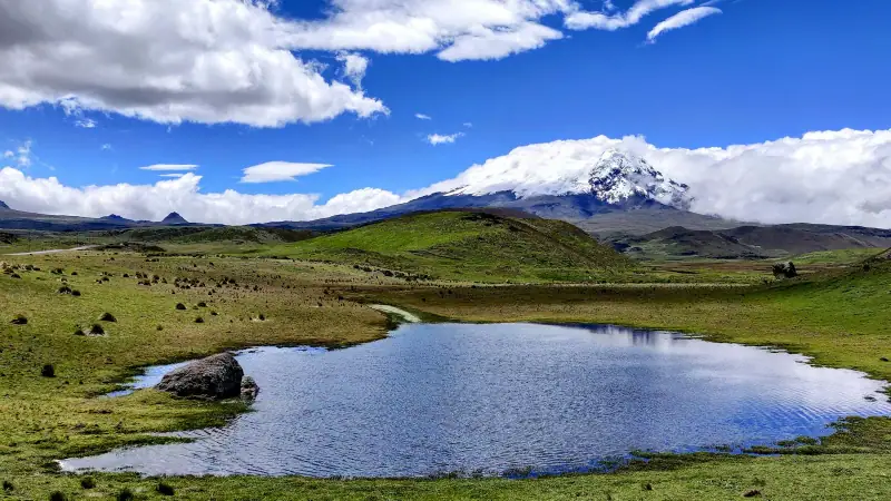
Chimborazo, Riobamba and the Devil's Nose train: Ecuador's central Andes
Visit Chimborazo, Riobamba and the Devil's Nose train at Alausí: altitude, refuges, best season and tips for planning this Andean stretch.
Ready-made
Ecuador itineraries
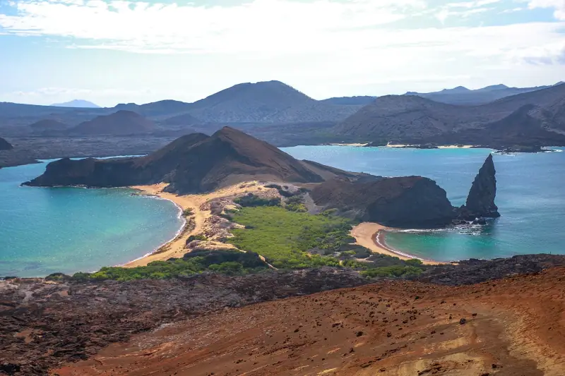
7 days
One week in Ecuador: a 7-day itinerary, day by day
QuitoLatacungaBaños
Can be adapted in the planner
5 days
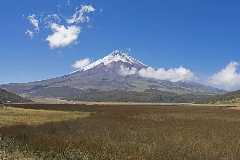
Avenue of the Volcanoes in Ecuador: Cotopaxi, Quilotoa and Baños in 5 days
A 5-day itinerary on the Avenue of the Volcanoes from Quito: Cotopaxi, Quilotoa lagoon, Baños and Chimborazo, with travel times, stops and altitude notes.
3 days
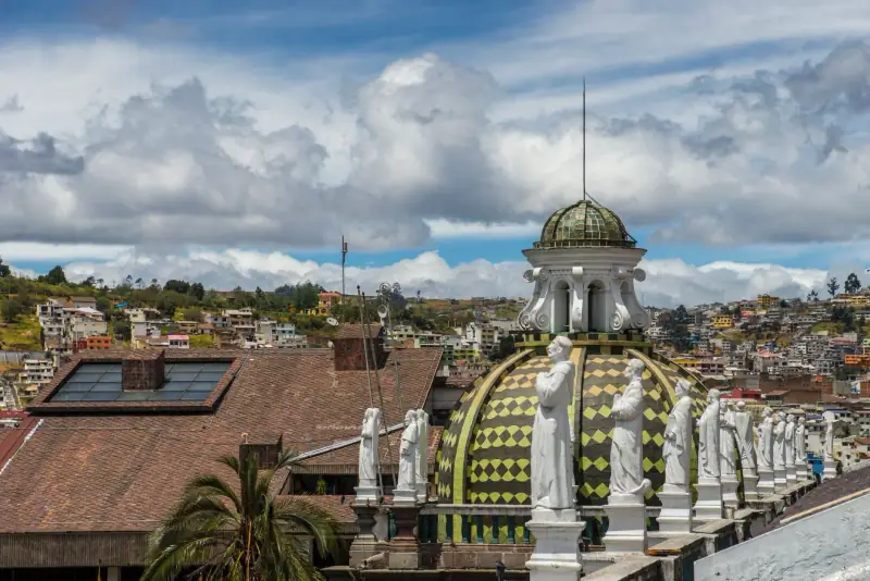
What to do in Quito in 3 days: historic center, volcano views and the Mitad del Mundo
Quito in 3 days: UNESCO-listed historic center, Panecillo, cable car, La Ronda and the Mitad del Mundo. A realistic itinerary that builds up gradually.