Itineraries
Avenue of the Volcanoes in Ecuador: Cotopaxi, Quilotoa and Baños in 5 days
We may earn a commission when you book through links on this page, at no extra cost to you. We don't visit or try the places we cover: we summarize published sources. How we work
Day by day
- Day 1Quito to Cotopaxi National Park and Limpiopungo lagoon
- Day 2Quilotoa crater lagoon
- Day 3Drive to Baños via Ambato, hot springs in the evening
- Day 4Waterfall road, Pailón del Diablo and outdoor activities around Baños
- Day 5Chimborazo via Riobamba, or return to Quito
In short
- Five days cover Cotopaxi, Quilotoa lagoon and Baños without rushing; with a week you can add Chimborazo and a spare day for the weather.
- The route climbs gradually and ends in Baños, clearly lower. Quito sits at about 2,800 m (9,190 ft) and several sites exceed 3,500 m (11,500 ft).
- A car is not required: buses link Quito, Latacunga, Ambato and Baños, and day excursions serve Cotopaxi and Quilotoa.
- Aim for mornings for views, as summits are often in cloud by late afternoon.
Between Quito and Cuenca, the Andes mountain range lines up a succession of volcanoes that the naturalist Alexander von Humboldt called the “Avenue of the Volcanoes”. Snow-capped cones, a crater lagoon, market villages and the waterfalls at the gateway to the Amazon: in only a few days, the landscape changes completely.
This five-day itinerary starts from the capital and heads south along the Pan-American Highway. It is designed for travelers who have already spent two or three days in Quito (see our 3-day Quito guide).
Before you go: altitude, weather and logistics
The first point to take in is altitude. Quito is at about 2,800 m (9,190 ft), Latacunga at roughly the same level, and the highest sites on the itinerary go well above 3,500 m (11,500 ft). Cotopaxi peaks at just under 5,900 m (19,360 ft), Chimborazo at over 6,200 m (20,350 ft). For anything health-related, ask your doctor or a travel clinic, and see the official travel health pages (CDC in the US, TravelHealthPro in the UK). The itinerary climbs gradually and ends in Baños, which is clearly lower.
As for weather, summits are often in cloud late in the day. Leave early, aim for the morning for viewpoints and keep afternoons for travel. To choose your dates, see our guide to the seasons in Ecuador.
To get around, two options coexist. Intercity buses are very cheap and serve the main towns, but natural sites then require a taxi, a pickup truck or an organized excursion. A rental car gives more freedom, at the price of mountain driving that can be demanding.
🏨 Where to stay in Latacunga: the town is a practical base for Cotopaxi and Quilotoa. Compare accommodation for your dates.
Day 1: from Quito to Cotopaxi National Park
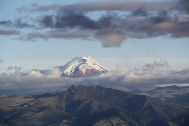
Leave Quito early in the morning heading south. Latacunga is about 90 km (56 mi) from the capital, around an hour and a half to two hours of driving depending on traffic, and Cotopaxi National Park is reached before or around this town depending on the access chosen.
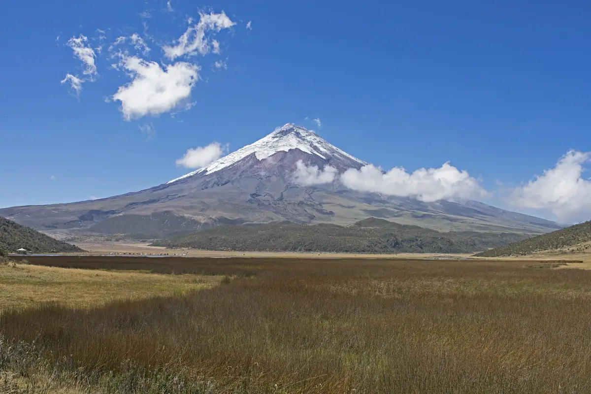
Cotopaxi is one of the most famous active volcanoes in the world, and its almost perfect cone dominates the landscape when the sky is clear. Inside the park, Limpiopungo lagoon, at over 3,800 m (12,470 ft), offers an easy walk of about an hour while admiring the volcano. The most motivated continue to the upper parking lot and walk toward the refuge, but the climb is steep, on loose ground and at altitude: go slowly.
Access to the high areas can be restricted depending on volcanic activity and weather. Ask your accommodation or a local agency before setting out. Spend the night in Latacunga or at a hacienda nearby.
🎟️ Cotopaxi excursions: guided days from Quito, horseback or bike rides in the park. Compare formats, durations and cancellation conditions.
Day 2: Quilotoa lagoon
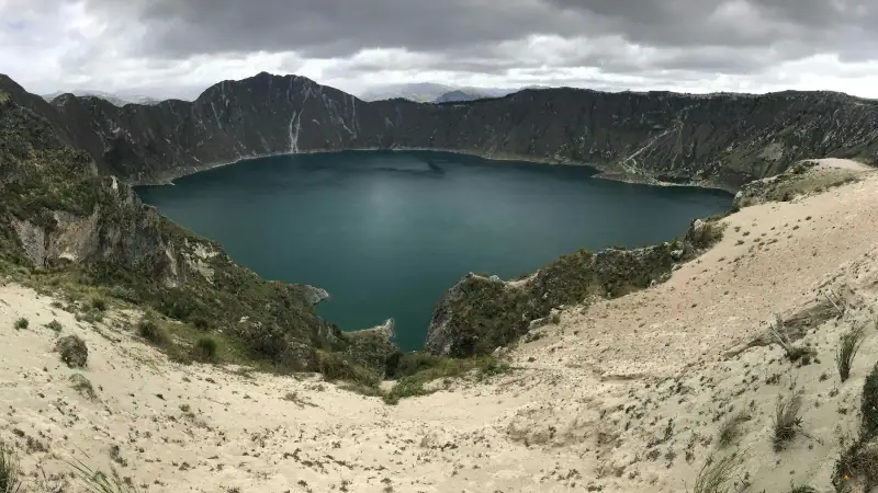
From Latacunga, Quilotoa is reached in about two hours by road, on a route climbing west through Andean villages and terraced fields. Quilotoa is a collapsed volcanic crater filled with a lagoon whose color varies from green to turquoise depending on the light.
At the crater rim, you have several viewpoints. Walking down to the shore is possible on a steep trail, which takes a reasonable amount of time on the way down. It is the climb back that is hard, as it is done at altitude on a dusty trail: allow noticeably more time than for the descent, and note that it is generally possible to ride back up on a mule for a fee.
The most experienced hikers do the hike along the crater rim, taking much of the day, or the crossing to the village of Chugchilán, a well-known but long walk. Whatever you choose, bring water, sunscreen and warm clothes: the wind can be cold at the crater rim, even in sunny weather. Then return to Latacunga or sleep in the neighboring village.
Day 3: heading for Baños
Head east and south toward Baños de Agua Santa, via Ambato. Allow about two hours by road from Latacunga. The scenery shifts: the town nestles at about 1,800 m (5,900 ft), at the foot of Tungurahua volcano, and the climate is milder, wetter and greener.
Baños is known for its hot springs, its mountain-resort atmosphere and its many activities. After arriving, wander the center, try the molasses candies stretched by hand in front of the shops, then enjoy the thermal baths at the end of the day, which is perfect after two days in the mountains.
🏨 Where to stay in Baños: hostels, small hotels and places with valley views. Compare accommodation for your dates.
Day 4: waterfalls and thrills around Baños
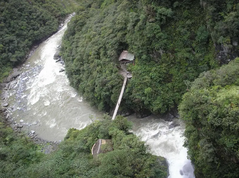
A scenic road runs down the Pastaza valley to the east, toward the Amazon. It is famous for its waterfalls, including the Pailón del Diablo, reached by trails and walkways. You can do this stretch by bike (the road is mostly downhill), local bus or on an excursion.
Baños is also Ecuador’s capital of outdoor activities: canyoning, rafting, suspension bridges, giant swing facing the volcano. There are many agencies; choose one that provides equipment in good condition and qualified guides, and read recent reviews before booking.
🎟️ Activities in Baños: canyoning, rafting, waterfall excursions. Compare formats, durations and cancellation conditions.
Day 5: Chimborazo or the return to Quito
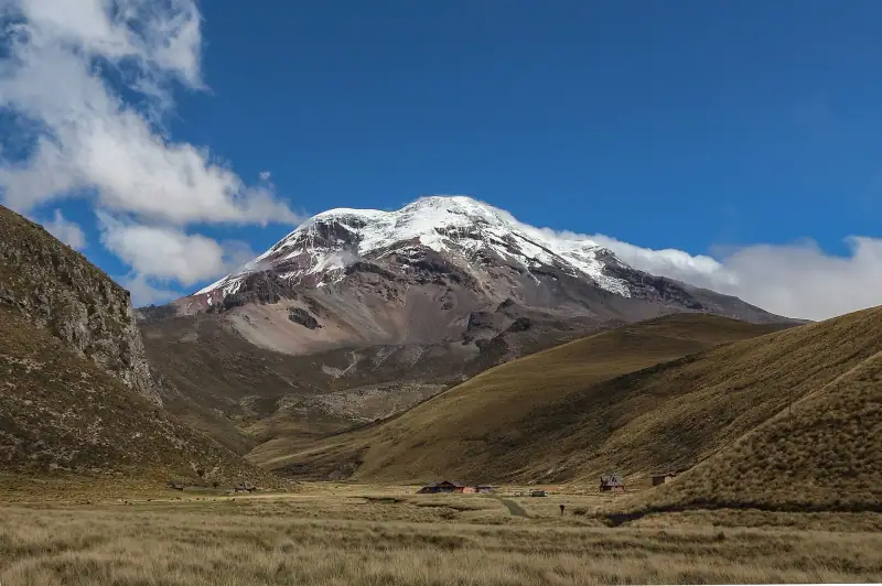
Two options are open to you to end the trip. The first is to continue south toward Riobamba and Chimborazo, the country’s highest peak. Its summit, measured from the center of the Earth, is the farthest point from that center, because of the equatorial bulge, which makes it a special site. The wildlife reserve around it is home to vicuñas, and roads allow you to approach the high-altitude refuges, depending on your fitness.
The second option is to return to Quito, about half a day by road from Baños including stops. It is the simplest if your flight leaves the next day. To extend the trip with the archipelago, see our guide to the Galápagos islands to visit.
✈️ Find a flight to Quito: fares vary a lot with the season and the number of stops. Compare offers before locking in your dates.
Practical tips for the itinerary
- Altitude: Quito is already high, so ask your doctor or a travel clinic about any concern before going higher.
- Gear: layered clothing, waterproof windbreaker, hat, sunglasses and high-SPF sunscreen: the sun is strong at high altitude.
- Money: Ecuador uses the US dollar. Keep small bills for buses, park entrances and small villages.
- Insurance: travel insurance with medical assistance is recommended for a stay in the mountains.
Following this pace, you will see a very complete sample of the Ecuadorian Andes in five days: an active volcano, a crater lake, hot springs and waterfalls, all without a daily drive of more than two to three hours.
Frequently asked questions
How many days do you need for the Avenue of the Volcanoes?
Five days let you see Cotopaxi, Quilotoa lagoon and Baños without rushing. With a week, you can add Chimborazo and a spare day for the weather.
Do you need to rent a car for the Avenue of the Volcanoes?
It is not required: buses link Quito, Latacunga, Ambato and Baños, and day excursions serve Cotopaxi and Quilotoa. A car does give more freedom for remote sites.
Is altitude a concern?
Quito is at about 2,800 m (9,190 ft) and several sites exceed 3,500 m (11,500 ft). For anything health-related, ask your doctor or a travel clinic, and see the official travel health pages (CDC in the US, TravelHealthPro in the UK).
What is the best time to go?
The drier season, roughly June to September, generally offers the best chances of clear skies over the summits. Mountain weather stays unpredictable all year: always pack a warm layer and a windbreaker.
Can you climb to the summit of Cotopaxi?
Climbing to the summit is a mountaineering ascent reserved for equipped people accompanied by a high-mountain guide. Most travelers settle for a hike toward the refuge or around Limpiopungo lagoon, depending on access conditions.
More Ecuador guides
Keep reading
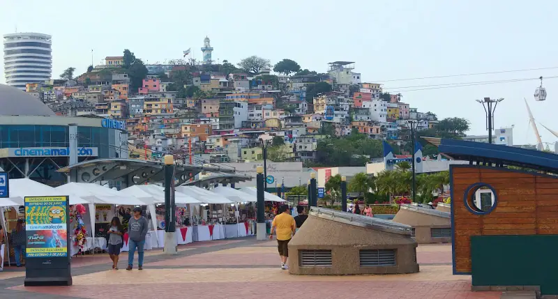
Where to stay in Guayaquil: areas and types of accommodation to help you choose
Where to stay in Guayaquil: downtown and Malecón, Las Peñas, Urdesa, Kennedy, the airport area or Samborondón. Areas, lodging types and tips for choosing.
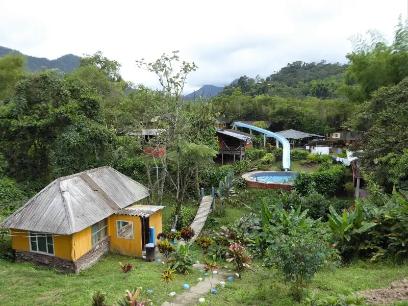
Where to stay in Mindo: areas and types of accommodation to help you choose
Where to stay in Mindo: the village, waterfall roads, river banks, cloud forest lodges. Areas, accommodation types and tips for choosing by trip.
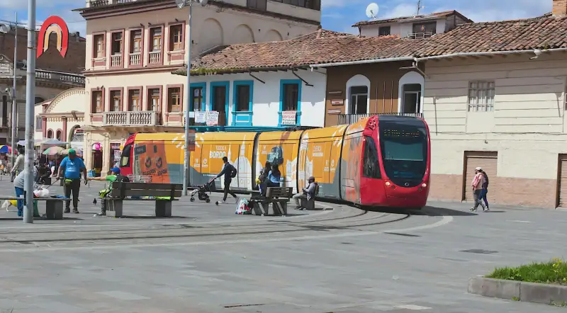
Where to stay in Cuenca: areas and types of accommodation to help you choose
Where to stay in Cuenca: historic center, Tomebamba riverside, San Blas, El Ejido or Turi. Areas, accommodation types and tips for choosing by trip.
Ready-made
Ecuador itineraries
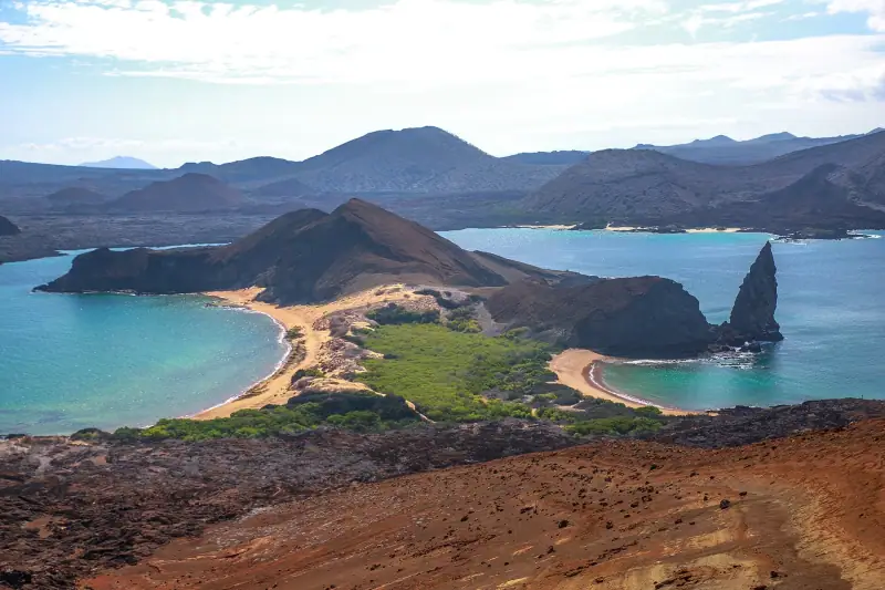
7 days
One week in Ecuador: a 7-day itinerary, day by day
QuitoLatacungaBaños
Can be adapted in the planner
3 days
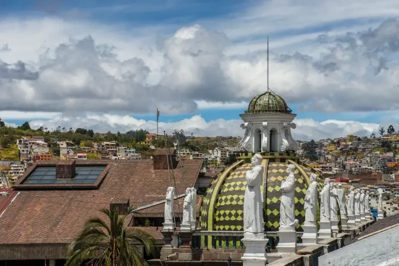
What to do in Quito in 3 days: historic center, volcano views and the Mitad del Mundo
Quito in 3 days: UNESCO-listed historic center, Panecillo, cable car, La Ronda and the Mitad del Mundo. A realistic itinerary that builds up gradually.