Itineraries
National road 7 in Madagascar: itinerary from Antananarivo to Toliara
We may earn a commission when you book through links on this page, at no extra cost to you. We don't visit or try the places we cover: we summarize published sources. How we work
Day by day: 10 to 12-day RN7 example
- Day 1Arrive in Antananarivo, overnight stay
- Day 2Road to Antsirabe
- Day 3Road to Fianarantsoa, stop at Ambositra
- Day 4Fianarantsoa old town, or Ranomafana
- Day 5Ambalavao and Anja Reserve, then toward Isalo
- Days 6-7Hikes in Isalo National Park
- Day 8Road to Toliara, possible stop at Zombitse
- Days 9-11Relaxing at Ifaty or on the coast
- Day 12Return to Toliara, flight to Antananarivo
In short
- The RN7 runs about 900 to 950 km (560 to 590 mi) from Antananarivo to Toliara; a 200 km (124 mi) stage can take half a day or more.
- Allow at least 8 to 10 days; 12 days are more comfortable with Ranomafana and a beach stay at Ifaty.
- Antananarivo to Antsirabe is about 170 km (106 mi) and takes four to five hours; Antsirabe to Fianarantsoa is about 240 km (149 mi).
- The main road is paved and an ordinary vehicle generally suffices, but most travelers take a car with a driver; the dry season (May to October) is best.
National road 7, or RN7, is the classic route for travelers in Madagascar. It descends from the Highlands to the southwest, from Antananarivo to Toliara, and crosses very varied landscapes: terraced rice paddies, highland towns, vineyards, stone plateaus and sandstone massifs. Above all, it links on a single axis several of the main stops of a first stay.
This guide offers an itinerary of about ten to twelve days, with the durations to expect, the stops worth the detour and the organizational points not to neglect.
Preparing the RN7: duration, transport and pace
The axis measures about 900 to 950 km (560 to 590 mi), but the distance is misleading. The road is narrow, winding in the mountains, shared with trucks, zebu carts and pedestrians. A stage of 200 km (124 mi) can easily take half a day or more.
Several options are possible:
- A car with a driver: the most common option. The driver knows the road and the stops, and you avoid driving, which is particularly tiring.
- An organized tour: handy if you want lodging, park guides and transfers put together.
- Taxis-brousse and buses: cheap, but slow and with little flexibility for stopping.
Driving yourself is possible but not recommended for first stays, notably because of night driving, to be avoided in all cases.
For the calendar, see our guide when to go to Madagascar: the dry season, roughly May to October, is the most comfortable. The major sites are presented in the article what to see in Madagascar.
Flights to Madagascar
Compare flights to Antananarivo, the starting point of the RN7.
Antananarivo, the starting point
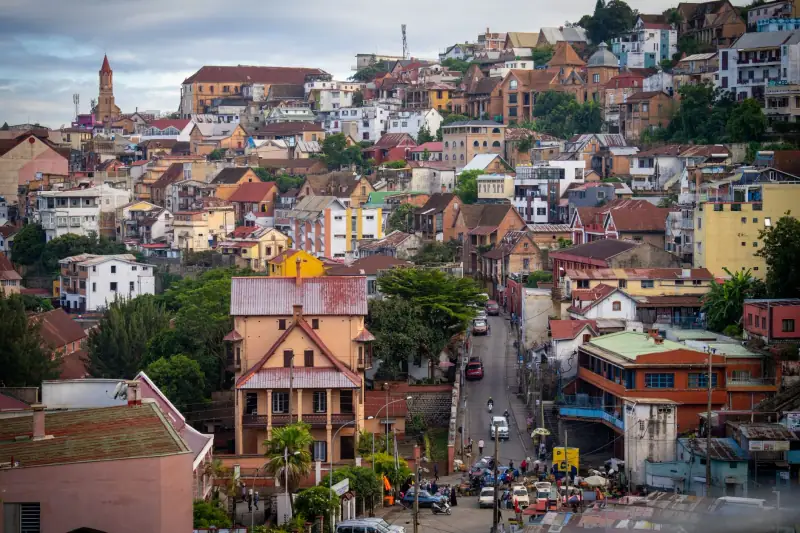
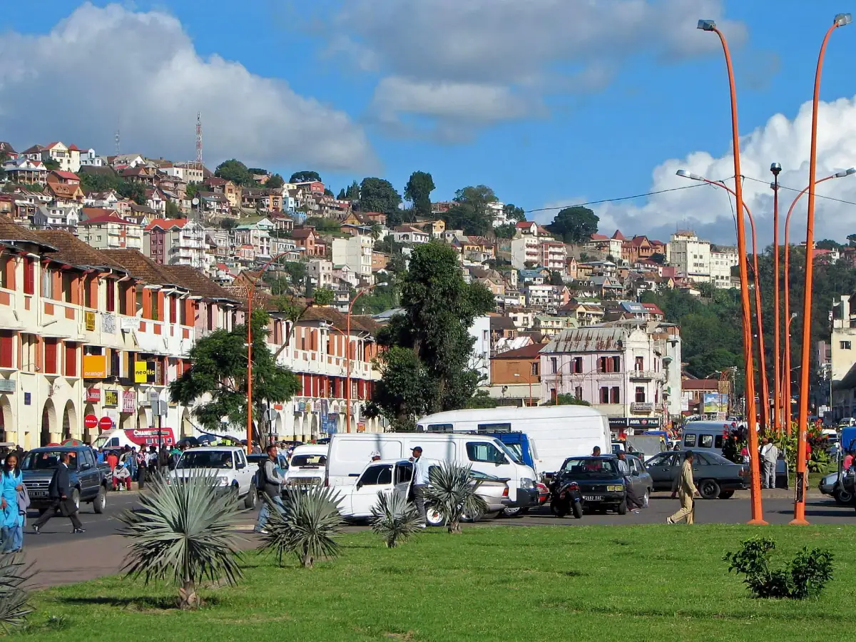
The trip starts in the capital, perched on the hills of the Highlands. The city is dense, lively and often congested. Plan at least one night on arrival to recover from the flight and prepare what follows: withdrawing cash, a local SIM card, last-minute shopping.
If you have half a day, the royal hill of Ambohimanga, north of the city, is a UNESCO-listed site that helps you understand the history of the Imerina kingdom. The visit is best done with a guide.
Leave Antananarivo early in the morning: the exit from the city is the slowest part of the day.
From Antananarivo to Antsirabe
The trip to Antsirabe is about 170 km (106 mi) and generally takes four to five hours because of traffic and terrain. The landscape is a succession of hills, terraced rice paddies and red-brick villages.
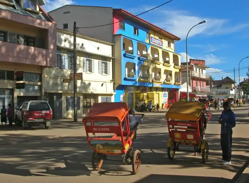
Antsirabe, founded in the 19th century by Norwegian missionaries, developed as a spa town in the colonial era. Its atmosphere is calmer than the capital’s. Its climate is cool, particularly at night in the dry season. Pousse-pousse rickshaws are the town’s emblematic means of transport, and a popular way to get around.
The surroundings offer crater lakes and craft workshops working horn, recycled metal or embroidery. It is an ideal first stop to get used to the rhythm of the road.
Hotels in Antsirabe
Compare the accommodation of the first major stop on the RN7.
From Antsirabe to Fianarantsoa via Ambositra
Between Antsirabe and Fianarantsoa, the RN7 covers about 240 km (149 mi) through a country of mountains, rice paddies and small towns. Allow a day, with stops.
Ambositra is the woodcarving capital. Shops offer marquetry, carvings and decorative objects tied to the Zafimaniry tradition, inscribed on UNESCO’s intangible cultural heritage list. It is a good place to buy quality souvenirs, taking time to compare.
Further south, the road crosses passes and villages where rice, bricks and multi-story houses dominate the landscape. Leave time to stop at viewpoints: the pictures are worth the detour, provided you ask permission before photographing people.
Fianarantsoa, the old town and surroundings
Fianarantsoa is considered the country’s intellectual and religious capital. Its upper town, with cobbled lanes, old houses and churches, is explored on foot and offers fine panoramas.
The region is also known for its vineyards and tea growing, notably around Sahambavy. The Fianarantsoa–East Coast railway line, which reaches Manakara via Sahambavy, runs irregularly: ask locally before considering a train journey.
If you have time, adding Ranomafana National Park, a high-altitude rainforest where you can watch lemurs, takes about one to two extra nights from this area. Access requires a detour on a secondary road; generally allow an hour and a half to two hours from Fianarantsoa.
Hotels in Fianarantsoa
Sleep in the old town or nearby before heading on to Isalo.
Ambalavao and Anja Reserve

After Fianarantsoa, Ambalavao marks the entrance to the South. The small town is known for making Antaimoro paper, shaped from plant fibers and dried flowers, and for its zebu market.
Nearby, Anja Community Reserve is run by the residents of the neighboring village. A short trail, accompanied by a local guide, lets you watch ring-tailed lemurs, often at close range. It is an excellent introduction to lemurs before Isalo, and the visit directly funds the community.
The Isalo massif
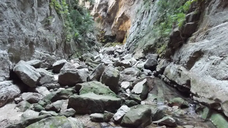
After Ambalavao, the road crosses open savanna plateaus, passes through Ihosy and reaches Ranohira, the gateway to Isalo National Park. This stage is one of the longest of the trip: allow most of the day.
The sandstone massif, sculpted by erosion, holds canyons, natural pools and open plateaus, with lemurs on some trails. Hikes range from a few hours to several days. The sun is strong: set off early, bring water and a hat. The park is visited with a licensed guide.
In the evening, the lodgings of Ranohira face the massif, and sunsets color the cliffs. Plan at least two nights so as not to do everything in a rush; our comparison Ranohira or a lodge near Isalo helps choose the stop.
Excursions and guided visits
Browse the activities offered in Madagascar: hikes, parks and guided visits.
From Isalo to Toliara
The last stretch crosses drier landscapes: savanna, thorny bush and roadside villages. Shortly after Ranohira, you pass through Ilakaka, a mining area known for its sapphires, then Sakaraha.
Further on, you can stop at Zombitse-Vohibasia National Park, a dry-forest park reachable from the road, with lemurs and birds. The road then descends toward the coast. Toliara is a hot, dusty port city, the base for heading to the sea.
Beach extension: Ifaty and the coast
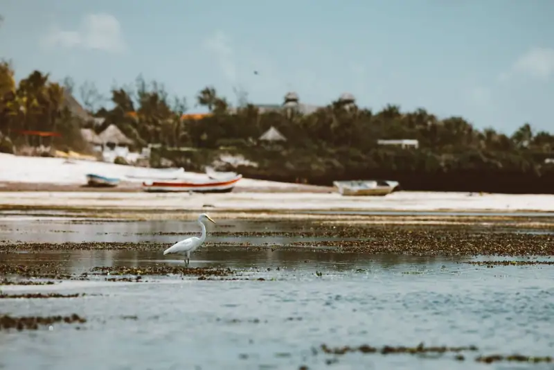
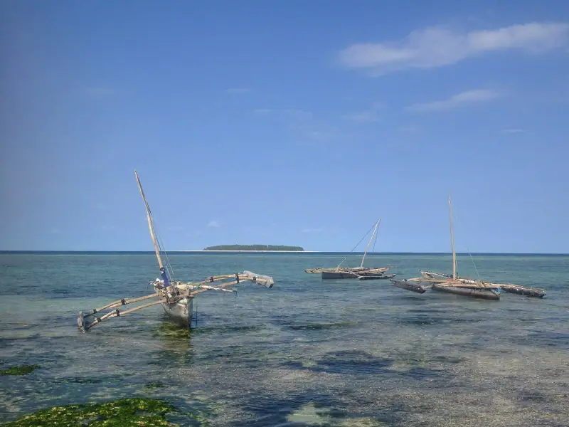
To finish with a few days of rest, the coast north of Toliara, around Ifaty, offers beaches, lagoons and diving or sailing pirogue trips. It is a good contrast with the mountains and the dust of the road.
Some sea outings depend on the weather and the tide: confirm schedules with your lodging. If the season suits, July to September is also humpback whale time on Malagasy coasts, but this spectacle is more frequent on the east coast.
Sample 10 to 12-day itinerary
- Day 1: arrive in Antananarivo and spend the night there.
- Day 2: road to Antsirabe.
- Day 3: road to Fianarantsoa, with a stop at Ambositra.
- Day 4: visit the old town of Fianarantsoa (or leave for Ranomafana).
- Day 5: Ambalavao and Anja Reserve, then head to Isalo.
- Days 6 and 7: hikes in Isalo park.
- Day 8: road to Toliara, with a possible stop at Zombitse.
- Days 9 to 11: relaxing at Ifaty or on the coast.
- Day 12: return to Toliara and flight to Antananarivo, if you are not going back by road.
To avoid depending on the road for the return, many travelers take a domestic flight between Toliara and Antananarivo. Schedules and availability vary: check with a local operator.
Practical tips for the RN7
- Cash: withdraw ariary in town, because ATMs are rare between major stops.
- Health: ask your doctor or a travel clinic, and see the official travel health pages (CDC in the US, TravelHealthPro in the UK). Bring a basic first-aid kit and insect repellent.
- Safety: avoid driving at night, travel with a trusted driver and keep valuables discreet.
- Clothing: plan layers. Nights can be cool at altitude, while the south is very hot by day.
- Local respect: ask before photographing, respect local taboos called fady and favor buying directly from craftspeople.
- Insurance: travel insurance with repatriation is strongly recommended.
Frequently asked questions
How long is the RN7 in Madagascar?
National road 7 links Antananarivo to Toliara over about 900 to 950 km (560 to 590 mi). Travel times are long: the road is winding, often busy with trucks and pedestrians, and average speed stays low.
How many days do you need for the RN7?
Allow at least 8 to 10 days to enjoy the stops without spending your days in a car. With Ranomafana and a beach stay at Ifaty, 12 days are more comfortable.
Do you need a 4x4 for the RN7?
For the main axis, the road is paved and an ordinary vehicle generally suffices. A 4x4 becomes useful for secondary tracks. Most travelers opt for a car with a driver, simpler and safer.
Can you do the RN7 by public transport?
Yes, taxis-brousse and buses serve the main towns on the axis, but they are slow and uncomfortable. Private transport or an organized tour offers more flexibility for stops.
What is the best period for the RN7?
The dry season, roughly May to October, is the most favorable: more passable roads and pleasant hikes. Nights are cool at altitude.
More Madagascar guides
Keep reading
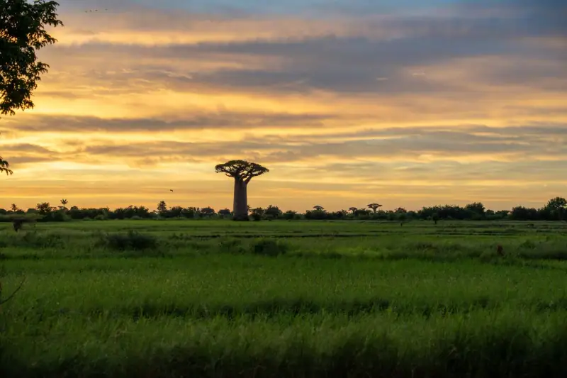
When to go to Madagascar: seasons, weather and best months
When to go to Madagascar? Dry season, rains, cyclones, whales, lemurs: a region-by-region guide to choosing the best time to travel.
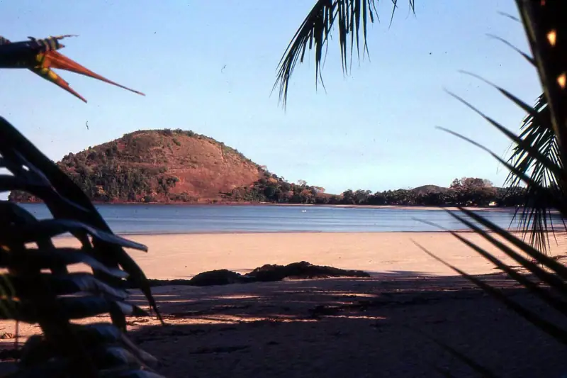
Nosy Be: what to do, beaches and excursions on the perfume island
What to do in Nosy Be? Beaches, snorkeling, Nosy Komba, Nosy Tanikely, Lokobe Reserve, ylang-ylang: a guide to plan your stay on the perfume island.
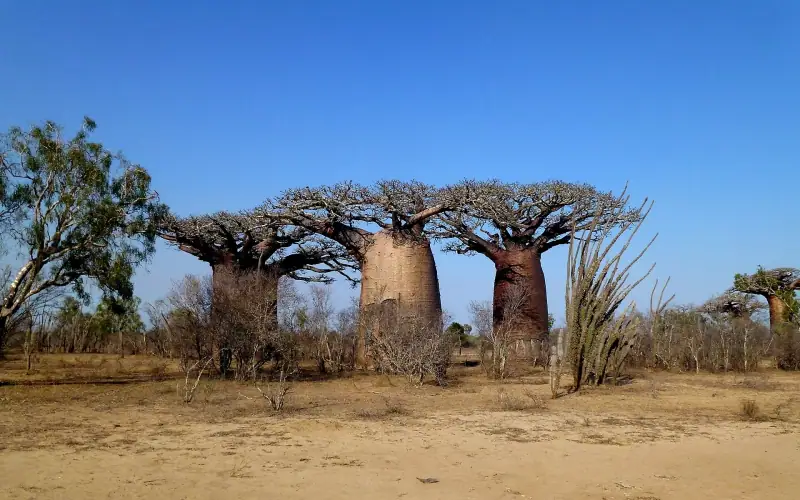
What to see in Madagascar: the 10 top sights
What to see in Madagascar? Baobabs, tsingy, Isalo, Andasibe lemurs, Nosy Be: a selection of 10 top sights to help you prepare your trip.
Ready-made
Madagascar itineraries
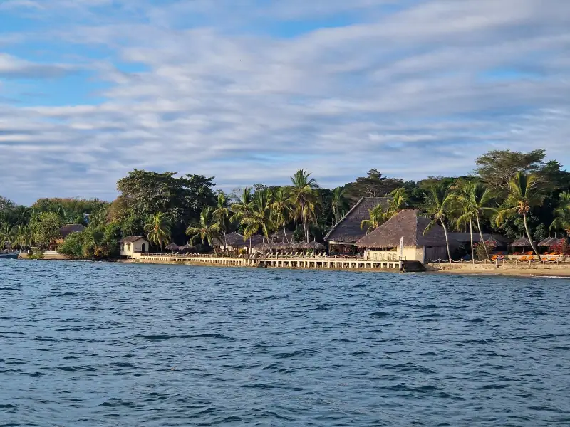
14 days
Madagascar in 2 weeks: day-by-day itinerary and variants
A 14-day itinerary in Madagascar: Andasibe, RN7, Isalo, beach, with two variants (West and baobabs, North and Nosy Be), pace, transport and time budget.
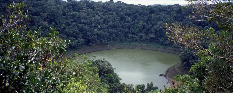
7 days
Northern Madagascar in 7 days: Diego Suarez, Ankarana and Montagne d'Ambre
7-day itinerary in northern Madagascar: Diego Suarez, Montagne d'Ambre, Red Tsingy, Ankarana, Ramena and an end in Nosy Be, with realistic trips and tips.
10 days
Western Madagascar road trip: from Antsirabe to Morondava and the tsingy
AntsirabeMiandrivazoMorondavaBekopakaMorondava