Things to do
GR34 in Brittany: the best hikes on the customs officers' path
We may earn a commission when you book through links on this page, at no extra cost to you. We don't visit or try the places we cover: we summarize published sources. How we work
In short
- The GR34 follows the Breton coast for about 2,000 km (1,243 mi); nobody walks it in one go on a normal trip, so pick half-day to day stages of 10 to 25 km (6 to 16 mi).
- Highlights: the Pink Granite Coast around Perros-Guirec, Cap Fréhel and Fort La Latte, the Crozon peninsula and the Cap Sizun, and the Gulf of Morbihan.
- Allow 3 to 4 km/h (about 2 to 2.5 mph) on easy ground, much less on rough sections; the ups and downs tire more than the distance.
- Check tide and marine forecasts, stay away from cliff edges and book accommodation early in summer; the emergency number is 112.
The GR34, also called the customs officers’ path, is one of France’s great hiking routes. It runs along the Breton coast for about 2,000 km (1,243 mi), between cliffs, beaches, moors, estuaries, fishing ports and lighthouses. You do not need to walk all of it to enjoy it: a half-day stage is often enough to understand why walkers come back every year.
This guide helps you choose the sections to favor, gauge the level, handle weather and tides, organize logistics and get equipped. To choose your dates, see also the article on when to go to Brittany.
Understanding the GR34 before you go
A path born from coastal surveillance
The route relies largely on old surveillance paths used by customs officers. Their mission: spot smuggling boats and watch for landings. These paths therefore followed the coastline as closely as possible, with open views of the sea. Today, the path is waymarked in white and red, the signage of long-distance footpaths (GR).
The path is a thread, not a destination
Think of the GR34 as a guiding thread you follow on a map, rather than a single hike. Depending on the section, it crosses very different landscapes:
- Emerald Coast and the Bay of Saint-Malo: low cliffs, beaches, ports, seaside resorts.
- Côtes-d’Armor: capes, moors, the Pink Granite Coast, the Bréhat archipelago.
- Finistère: wild headlands, the Crozon peninsula, Cap Sizun, the Bigouden coast.
- Morbihan: gulf, rias, sand beaches, nearby megalithic sites.
Levels, durations and pace
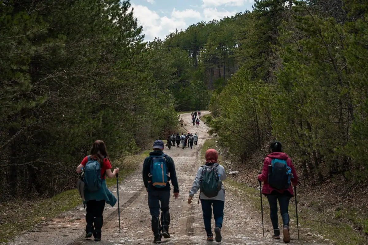
Expect 3 to 4 km/h (about 2 to 2.5 mph) on easy ground, but clearly less on rough sections, with stairs, roots and rocks. Cumulative elevation changes are often more tiring than the distance: a coast cut into coves forces you to climb and descend constantly. For a first experience, aim for stages of 8 to 15 km (5 to 9 mi) and keep time for breaks, photos and lunch.
Pink Granite Coast: the star section at Perros-Guirec
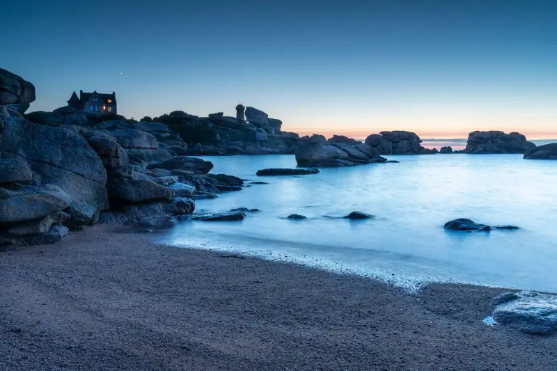
The Pink Granite Coast, around Perros-Guirec and Ploumanac’h, is one of the most famous sections of the path. Pink granite blocks with rounded shapes, sculpted by erosion, stretch along the shore. In the morning or evening light, the rock takes on salmon, orange or pinkish tints that explain the name.
Why go
The section linking Trestraou beach to Ploumanac’h is one of the busiest in Brittany, because it is short, spectacular and relatively accessible. You walk among evocative rocks, with an old lighthouse in your sights. It is an excellent introduction to the GR34 for families and occasional walkers.
Practical tips
- Set out early or late in the day: in summer, the path is very busy in the middle of the day.
- Be careful on the rocks: they can be slippery, especially after rain.
- Wear shoes with good grip: light sneakers are often enough, but walking shoes are preferable.
- Respect the site: stay on the path to limit erosion.
Where to stay in Perros-Guirec
Hotels, guesthouses and rentals near the Pink Granite Coast: compare offers, especially in summer and on long weekends.
Emerald Coast: cliffs, forts and capes
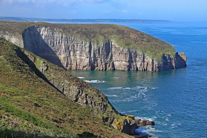
Cap Fréhel and the Fort La Latte area
Cap Fréhel is one of the great cliffs of Brittany’s north coast. You discover a moor of heather and gorse, pink sandstone cliffs plunging into the sea, seabird colonies and two lighthouses. Nearby, Fort La Latte, a medieval fortress set on a rocky spur, adds a touch of film set to the walk.
Hikers like this section for its wild atmosphere and open views. The wind can be strong on the cape, even in fine weather: always bring a windproof layer.
Around Saint-Malo and Cancale
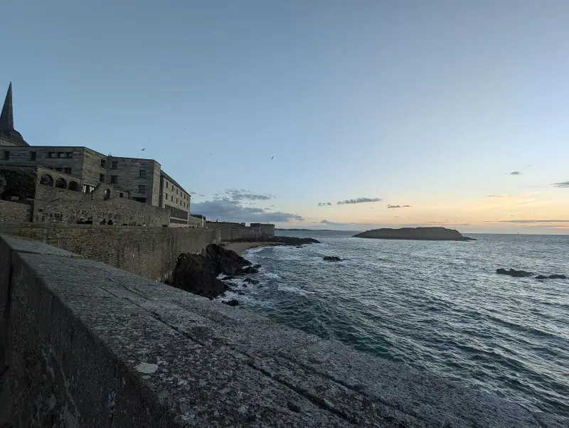
Farther east, the path crosses the surroundings of Saint-Malo and Cancale. You will find walks that are both coastal and urban, with the ramparts, the beaches and Pointe du Grouin. If you combine hiking and sightseeing, the 3-day itinerary between Saint-Malo, Cancale and Dinan will help you organize a full stay.
Finistère: the headlands of the far west
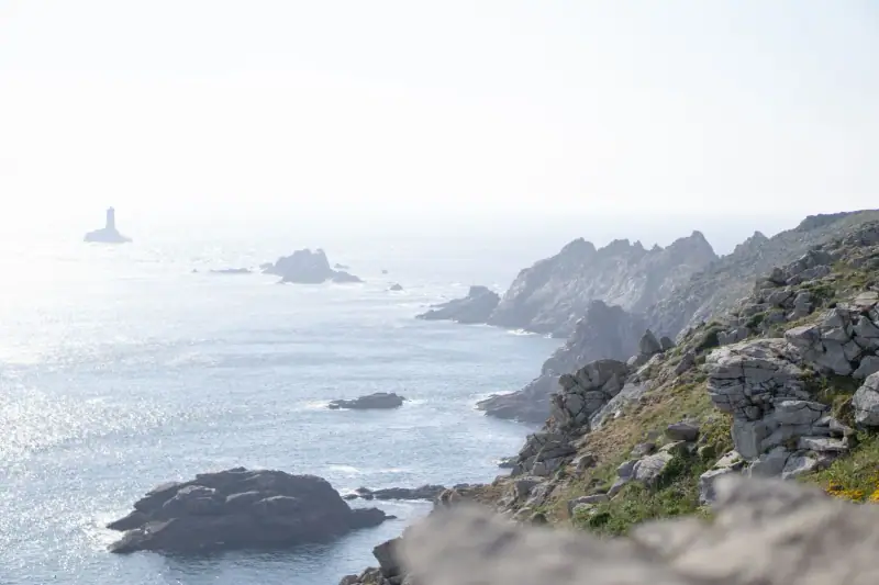
Crozon peninsula
The Crozon peninsula packs a great variety of landscapes: cliffs, sea caves, sand beaches, moors and spectacular points such as Pen-Hir. It lends itself to many day loops, with clear waymarking and scenery that changes at every turn. The path sometimes follows the cliff edge closely: stay careful and do not approach the drop, especially in strong wind or wet weather.
Cap Sizun and Pointe du Raz
The Cap Sizun, at the western end of Brittany, offers the end-of-the-world atmosphere many seek. Cliffs plunge into an often rough sea, and you feel the power of the Atlantic. Pointe du Raz is one of the most emblematic and most visited sites: for walking, favor quiet hours and sections a little farther from the car parks.
Tips for Finistère
- Watch the weather: it changes fast and the wind can be powerful.
- Bring water and food: supply points are sometimes rare between two villages.
- Be careful near cliffs: a misstep can be dangerous.
Morbihan and the gulf: another face of the path
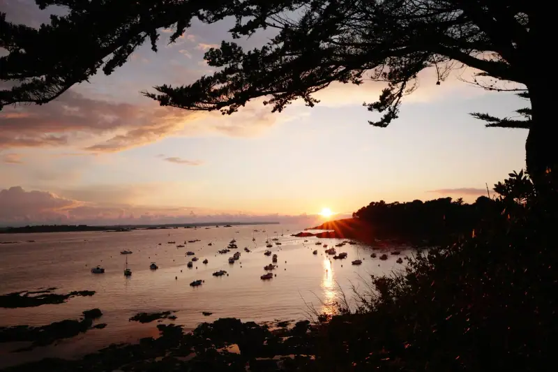
In Morbihan, the path runs along rias, beaches, marshes and the islands of the gulf. The atmospheres are gentler and more sheltered than in Finistère, with ports, oyster farmers’ huts and views of the islands. It is a section popular for quiet walks, as a family or a couple, and for combining walking and heritage visits.
History enthusiasts can combine hiking and discovering the megalithic sites around Carnac, which are visited as a complement to a coastal stage.
Outings and excursions in Brittany
Boat rides, guided visits and nature outings: compare offers and book ahead in high season.
Organizing your hike: duration, stages and logistics
Day stages or multi-day trekking
There are two main ways to hike the GR34:
- Day hikes: you sleep in the same place and set out on a loop or a one-way walk, returning by bus or taxi. It is the simplest formula for a first stay.
- Multi-day trekking: you chain several stages, changing lodging each evening. It takes more organization, bookings and endurance.
Getting around without too many constraints
Many hikers choose to walk in one direction only, then return by local transport. Before leaving, find out about bus and shuttle times, which vary strongly by season. A car makes it easier to reach isolated starting points, but remember that parking can be complicated in summer at the best-known sites.
Finding lodging along the path
Accommodation is found mostly in villages and coastal towns: hotels, guesthouses, campsites, gîtes. In season, book early, especially if your stages leave you few alternatives. Off season, some establishments are closed: check before leaving.
Places to stay in Brittany
Hotels, guesthouses and gîtes along the coast: compare availability to fit your stages.
Gear and safety
What to bring
Breton weather can go from bright sun to rain in a few hours. Think in layers:
- Walking shoes with a grippy sole, waterproof if possible.
- Windbreaker and waterproof jacket, even in summer.
- Sun protection: the wind masks the feeling of heat, but the sun burns.
- Water and snacks in sufficient quantity.
- Map or hiking app: the waymarking is good, but a map remains useful.
- Small first-aid kit and a charged phone.
Safety rules
- Stay on the path and keep away from cliff edges.
- Check the marine forecast and tide coefficients before setting out.
- Do not venture onto the foreshore without knowing the tide time: it rises fast.
- In an emergency, call 112, the European emergency number.
Respecting the environment
The path crosses fragile environments: moors, dunes, cliffs with nesting birds. Stay on waymarked paths, take your trash with you, do not pick plants and keep dogs under control, as local signs indicate.
When to walk the GR34
Spring offers the moor in bloom and already long days, with crowds still moderate. Summer is the most pleasant period for long days, but also the busiest: favor early morning. Autumn has its fans for its light and big tides, while winter suits seasoned walkers, ready to face wind and rain, with far fewer people. In every case, keep flexibility in your program to enjoy the clear spells.
After the effort, comfort
A day of walking often ends with a hearty galette or a plate of seafood. If you want to know how to choose well, the guide to crêpes and galettes in Brittany gives you the essential pointers. A good habit: book your dinner in small villages in season, because many establishments fill up quickly.
Budget and last-minute tips
Hiking remains one of the cheapest activities in Brittany: the path is free. The budget plays out on accommodation, meals and transport. Here are a few ideas to keep it under control:
- Choose fixed lodging and do loops or round trips by bus.
- Prepare picnics with local products bought at the market.
- Travel outside school holidays, when rates are lower.
- Check local transport times in advance, which often have reduced frequencies off season.
In short, the GR34 is a simple and accessible way to discover Brittany differently: on foot, at your own pace, as close to the sea as possible. Choose one or two sections that appeal to you, adjust the distance to your fitness, and leave room for the unexpected.
Frequently asked questions
How long is the GR34?
The GR34 follows the Breton coast for about 2,000 km (1,243 mi) in total. Nobody walks it in one go on a standard stay: it is cut into stages of 10 to 25 km (6 to 16 mi), chosen according to your fitness, the weather and the region visited.
Why is it called the customs officers' path?
The route largely follows the paths once used by customs officers who watched the coast against smuggling. These paths followed the cliff as closely as possible, hence the spectacular views of the sea.
Do you need to be athletic to walk the GR34?
Not necessarily. Many sections are easy and accessible to families. Others, with repeated ups and downs, rock stairs and exposed passages, call for good fitness. Always read the description of the stage before setting out.
What is the best time of year to hike the GR34?
May to September for mild weather and long days, with a clear advantage for May, June and September, less crowded. Spring brings moorland flowers and autumn superb light, but Breton weather stays changeable in every season.
Do you need to take tides into account on the path?
On most of the route, the path stays high and does not depend on the tide. A few variants, foreshore crossings or estuary crossings may depend on it: find out about tide times and waymarking before committing, and do not venture onto the foreshore without knowing them.
Can you hike the GR34 without a car?
Yes, by relying on stations, local buses and seasonal shuttles, or by choosing loops that start from a well-served village. A car remains very practical for isolated starting points, but parking can be limited in summer at the busiest sites.
Can you sleep along the way without booking?
It is risky in summer, especially on weekends and during school holidays. Accommodation in small coastal villages fills fast: book at least the stages that are hard to work around and plan a fallback.
More Brittany guides
Keep reading
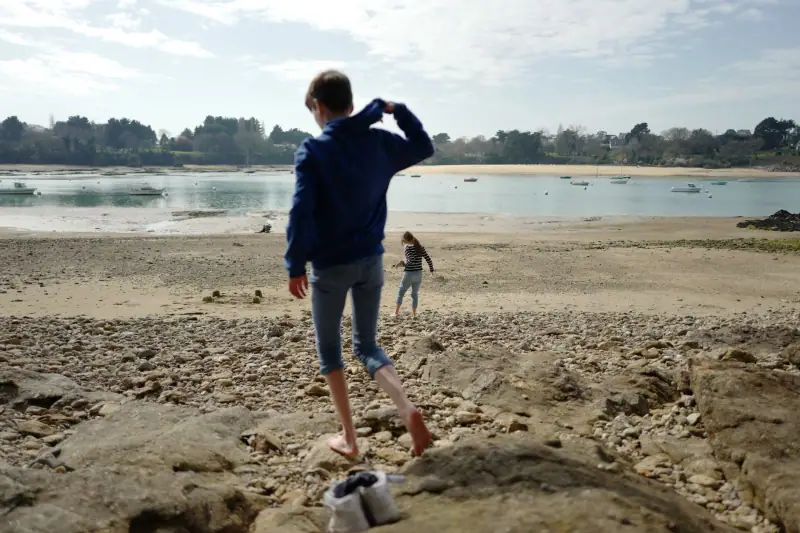
Brittany with kids: trip ideas and family activities
Plan a family vacation in Brittany: beaches, shore fishing, boats, aquariums, megaliths, easy walks and tips for a successful trip with children.
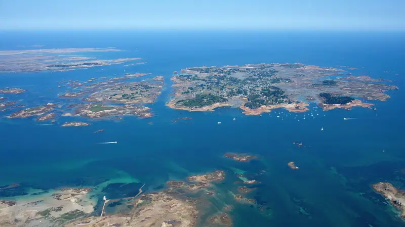
Breton islands: which excursion to choose between Bréhat, Belle-Île and Ouessant?
Bréhat, Belle-Île, Ouessant, Glénan, Sept-Îles: compare Brittany's finest islands, their crossings, activities and tips for planning the excursion.
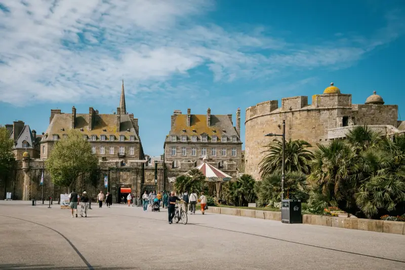
Where to stay in Saint-Malo: neighborhoods and types of accommodation
Where to stay in Saint-Malo? Intra-muros, Sillon, Paramé, Saint-Servan, Rothéneuf: compare areas and types of lodging for your budget and stay.
Ready-made
Brittany itineraries
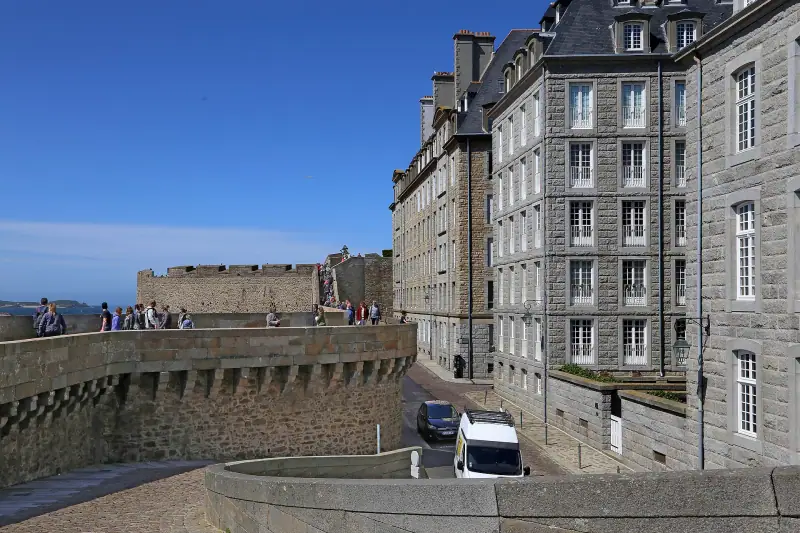
3 days
3 days in Saint-Malo, Cancale and Dinan: an Emerald Coast itinerary
A 3-day itinerary in northern Brittany: Saint-Malo's ramparts, Cancale's oysters, Dinan's medieval lanes. Daily plan, tides, transport and budget.

7 days
One week in Brittany without a car: a day-by-day itinerary by train and bus
RennesSaint-MaloQuimperVannes
7 days
Brittany road trip in 7 days: from Saint-Malo to the Gulf of Morbihan
A 7-day coastal road trip in Brittany: Saint-Malo, Pink Granite Coast, Crozon peninsula, Quimper, Carnac and Vannes. Stops, distances, budget and tips.