Itineraries
Kerry and Dingle road trip in 4 days: complete itinerary
We may earn a commission when you book through links on this page, at no extra cost to you. We don't visit or try the places we cover: we summarize published sources. How we work
Day by day
- Day 1Killarney National Park: Ross Castle, Muckross House, Torc Waterfall
- Day 2Ring of Kerry loop from Killarney
- Day 3Drive to Dingle, Slea Head Drive
- Day 4Conor Pass, then return or onward travel
Where to sleep
- Killarney2 nights
- Dingle2 nights
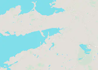
Weather through the year on this route
| Jan | Feb | Mar | Apr | May | Jun | Jul | Aug | Sep | Oct | Nov | Dec | |
|---|---|---|---|---|---|---|---|---|---|---|---|---|
| High °F (°C) | 489 | 489 | 489 | 5211 | 5513 | 6116 | 6317 | 6317 | 6116 | 5513 | 5211 | 489 |
| Low °F (°C) | 436 | 415 | 436 | 457 | 489 | 5211 | 5513 | 5513 | 5412 | 5010 | 468 | 436 |
| Rain in (mm) | 6.1155 | 4.9125 | 4.1105 | 3.795 | 3.590 | 3.795 | 4.3110 | 4.3110 | 4.5115 | 5.5140 | 6.5165 | 6.3160 |
Normals 1991–2020 at Dingle: averages over 30 years, not a forecast. Source: NASA POWER (MERRA-2), grid of about 50 km. Figures computed by us in November 2026.
In short
- Four days from Killarney: the national park, the Ring of Kerry (about 180 km / 112 mi, 6 to 8 hours), Dingle with Slea Head Drive, then Conor Pass.
- Sleeping two nights in Killarney and two in Dingle avoids repacking every morning.
- Tour buses usually run the Ring of Kerry counterclockwise: leave early or drive the other way.
- May to September has long days; July and August are busy, so book Dingle several months ahead.
In southwest Ireland, County Kerry brings together lakes ringed by mountains, coastal roads clinging to the Atlantic and colorful villages. Two peninsulas dominate the program: Iveragh, which the famous Ring of Kerry circles, and Dingle, smaller, wilder and known for its still-spoken Irish language.
Here is a four-day itinerary starting from Killarney, designed to keep each day’s distances reasonable. It suits hikers as well as those who prefer to drive slowly and stop at many viewpoints.
Day 1: Killarney and its national park
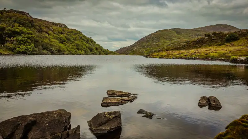
Killarney is the ideal base: a lively small town at the entrance to a national park of lakes, forests and mountains. You get there from Cork in about 1 h 30 by road, from Kerry Airport in about twenty minutes, and from Dublin in a little over 4 hours. It is therefore better to arrive the day before or to keep this first day for an easy drive.
Highlights of the park:
- Ross Castle, a 15th-century fortified tower on the shore of Lough Leane, where boat trips start;
- Muckross House and its gardens, a 19th-century mansion open to visitors;
- Torc Waterfall, reached on foot from a nearby parking lot after a short walk;
- the Gap of Dunloe, a glacial pass between two mountain groups, which you can cover on foot, by bike or by horse-drawn trap depending on the season.
Half a day is enough for the park, and the rest of the time can go to the town: pubs with traditional music in the evening, wool and tweed shops on the pedestrian streets.
Hotels, guesthouses and B&Bs in the town center or by the lakes: compare rates and traveler ratings.
Day 2: the Ring of Kerry
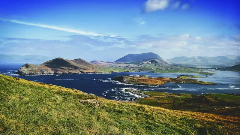
The Ring of Kerry is a loop of about 180 km (112 mi) around the Iveragh Peninsula, starting and ending in Killarney. It is part of the Wild Atlantic Way, the touring route that runs along Ireland’s entire west coast. Allow 6 to 8 hours with stops, in other words a full day.
Tour buses generally follow the loop counterclockwise. To avoid getting stuck behind them on the narrow roads, leave early or drive the circuit the other way.
A few stops worth making:
- Kenmare, a neat little town at the base of the neighboring peninsula, with good restaurants and craft shops;
- Sneem, a village with painted facades, quiet and good for a coffee break;
- Waterville, a seaside resort known for its promenade;
- Cahersiveen and Valentia Island, reached by a bridge or a small seasonal ferry, for its cliffs and Atlantic viewpoints.
For a wilder detour, the Skellig Ring extends the route to the tip of the peninsula, with landscapes open to the Skellig islands offshore. Landings on Skellig Michael are very limited and subject to authorization: check the conditions well before your trip, and read our guide on booking the Skellig Michael boat.
Guided tours of the Ring of Kerry and the Gap of Dunloe, plus boat trips: compare offers and ratings.
Day 3: the Dingle Peninsula and Slea Head Drive
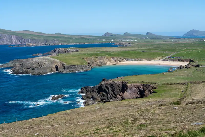
The road from Killarney to Dingle is about 70 km (43 mi) and takes roughly 1 h 30, via Tralee. The very colorful harbor town is known for its many pubs, shops and local products. The peninsula is part of the Gaeltacht, a region where Irish remains the everyday language, so signs are often written in it.
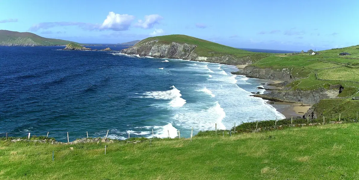
The Slea Head Drive is the peninsula’s signature loop, about 50 km (31 mi) around the western tip. Allow half a day to a full day depending on your stops. Highlights include:
- the sandy beaches and cliffs of the southwest coast;
- the Gallarus Oratory, a small dry-stone chapel from the early Middle Ages, remarkably well preserved;
- the village of Dún Chaoin (Dunquin), facing the Blasket Islands, where an interpretive center tells the story of the people of these now-deserted islands;
- many remains of stone beehive huts and ancient forts, often with an admission fee on private land.
At the end of the day, return to Dingle for a fresh fish dinner and music in one of the pubs in the center.
The road is narrow and winding in places: drive slowly, let faster vehicles pass and stop only in designated spots.
Day 4: Conor Pass and the return
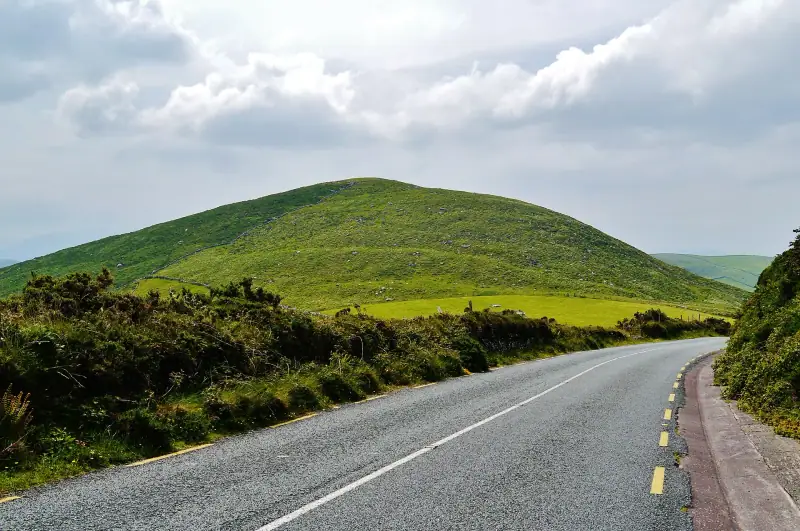
To head back, take the Conor Pass, one of Ireland’s most spectacular mountain roads, linking Dingle to the north of the peninsula. It is narrow, with single-lane sections: avoid it in dense fog or with a large vehicle. The views over the lakes and the bay are superb in clear weather.
Depending on your flight or next stop, you can:
- return to Killarney and then head to Cork or Kerry Airport;
- continue north toward County Clare to combine with the Cliffs of Moher, described in our guide to the Cliffs of Moher and the Burren;
- head east to the south coast, with stops in Kinsale or Cork.
Keep a half-day margin: Atlantic weather is changeable, and a closed pass or persistent fog can disrupt the plan.
Tips for driving in Ireland
A road trip is the best way to see Kerry, but driving demands attention:
- driving is on the left; rent an automatic if you are not used to it;
- minor roads are narrow, often with no shoulder and lined by low walls or hedges;
- vehicle size matters: a small car makes it easier to pass oncoming traffic;
- sheep on the road are common in mountain areas;
- gas stations become rare in remote areas: fill up in Killarney, Kenmare or Dingle.
Where to sleep on this road trip
To limit hotel changes, you can sleep two nights in Killarney (days 1 and 2) and then two nights in Dingle (days 3 and 4). This setup saves you from repacking every morning and leaves more time for sightseeing.
In Killarney, the choice runs from hotels to many family-run guesthouses. In Dingle, places to stay are smaller and fill up fast in summer: book several months ahead if you travel in July or August. Our guide on where to stay in Dingle compares the center, the harbor and the villages of the peninsula.
Hotels, B&Bs and guesthouses in Dingle and on the peninsula: compare rates before the best places are full.
When to go and what to pack
The best period runs from May to September, with long days and easier roads. July and August are the busiest months: tour buses multiply on the Ring of Kerry and accommodation fills up. Spring and early fall are calmer, with landscapes just as beautiful.
Whatever the season, bring:
- a waterproof, windproof jacket;
- waterproof walking shoes;
- an offline map or a GPS, because mobile coverage is patchy in some valleys;
- a plan B for rain, such as a museum visit, a pub or a tasting.
This road trip is a good introduction to the west of Ireland: it combines easily with the Cliffs of Moher and Connemara for a longer trip along the Atlantic coast.
Frequently asked questions
How many days do you need for the Ring of Kerry and Dingle?
Four days let you see the essentials without rushing: a day around Killarney, one for the Ring of Kerry, one for the Dingle Peninsula, and a margin for the unexpected or the return. With three days, you have to sacrifice part of Killarney.
Which direction should you drive the Ring of Kerry?
Most tour buses run the loop counterclockwise. By car, going clockwise or leaving earlier than the groups keeps you from getting stuck behind them on the narrow roads.
How long is the Ring of Kerry?
The loop is about 180 km (112 mi) from Killarney. It can be done in a day, but allow 6 to 8 hours with photo stops, breaks and traffic.
Do you need to rent a car to visit Kerry?
It is strongly recommended: public transport serves Killarney and Dingle, but very few remote sights. Driving is on the left and the roads are often narrow, so choose a small vehicle.
What is the best time for this road trip?
May to September for long days and milder weather. In July and August, roads and accommodation are very busy: book ahead. Rain is possible all year.
More Ireland guides
Keep reading
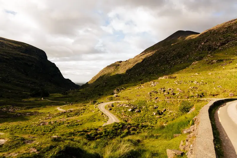
Budget for a trip to Ireland: real costs and 3 priced profiles
What budget to plan for Ireland? Real costs by category (lodging, transport, meals, activities), three priced profiles and tips to spend less.
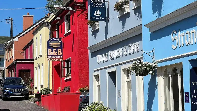
Where to stay in Dingle: town center, harbor or Slea Head, which base to choose?
Where to stay in Dingle? Center, harbor, edge of town or peninsula villages (Ventry, Ballyferriter): how to choose, parking, B&Bs and booking.

Where to stay in Killarney: town center, lakes and B&Bs for exploring Kerry
Where to stay in Killarney? Town center, Muckross road, national park edges, B&B or hotel: areas, budget and tips for booking before the Ring of Kerry.
Ready-made
Ireland itineraries
7 days
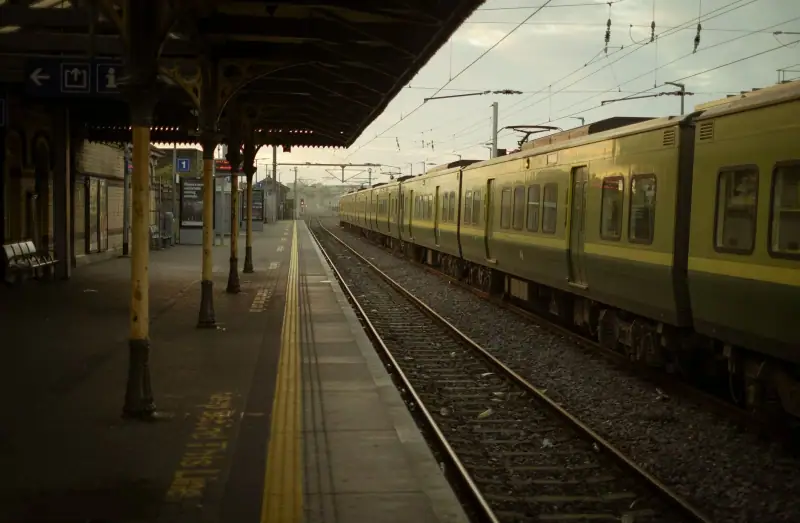
Ireland in 7 days without a car: a realistic train and bus itinerary
DublinGalwayKillarney
3 days
Visiting Dublin in 3 days: day-by-day itinerary
What to do in Dublin in 3 days? Trinity College, Guinness Storehouse, Kilmainham Gaol, Temple Bar and a trip to Howth: a walking itinerary with tips.
3 days