Itineraries
Northwest Argentina road trip: Salta, Cafayate, Cachi and Humahuaca in 8 days
We may earn a commission when you book through links on this page, at no extra cost to you. We don't visit or try the places we cover: we summarize published sources. How we work
Day by day
- Day 1Salta on foot: main square, museums, San Bernardo Hill
- Day 2Salta to Cafayate through the Quebrada de las Conchas
- Day 3Cafayate wineries, possibly the Quilmes ruins
- Day 4Ruta 40 from Cafayate to Cachi
- Day 5Cachi to Salta via Los Cardones and the Cuesta del Obispo
- Day 6Salta to Purmamarca, Hill of Seven Colors
- Day 7Salinas Grandes, then Tilcara and its Pucará
- Day 8Humahuaca, Hornocal, drive back to Salta
Where to sleep
- Salta1 night
- Cafayate2 nights
- Cachi1 night
- Salta1 night
- Purmamarca1 night
- Tilcara1 night
In short
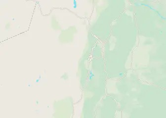
- 8 days in a loop from Salta, with two big loops: the south (Cafayate, Cachi), then the north (Quebrada de Humahuaca).
- Between 100 and 190 km (62 to 118 mi) a day, except day 8 (about 300 km / 186 mi from Tilcara via Humahuaca and Hornocal back to Salta).
- A standard rental car is enough; the Ruta 40 between Cafayate and Cachi is partly gravel.
- The dry season, March to about November, brings clear skies and open roads.
Brick red in the Quebrada de las Conchas, the green of the vines around Cafayate, giant cacti on the road to Cachi, hills striped with color near Purmamarca: northwest Argentina is best explored behind the wheel. Distances are reasonable, the main roads are paved and every stop changes the scenery. This 8-day loop, starting and ending in Salta, links the major sights with stages of 100 to 190 km (62 to 118 mi) a day, except the last day, which is longer (up to about 300 km / 186 mi).
In short:
- 8 days in a loop from Salta, with two big loops: the south (Cafayate, Cachi), then the north (Quebrada de Humahuaca)
- Between 100 and 190 km (62 to 118 mi) a day, except day 8 (about 300 km / 186 mi, Tilcara-Humahuaca-Hornocal-Salta): mountain roads, bends, photo stops
- A standard rental car is enough; allow some margin for altitude and the unexpected
Overview of the route
| Day | Stop | Approximate distance |
|---|---|---|
| 1 | Salta | Arrival, visit on foot |
| 2 | Salta → Cafayate via the Quebrada de las Conchas | about 190 km (118 mi) |
| 3 | Cafayate | Wineries and surroundings |
| 4 | Cafayate → Cachi on the Ruta 40 | about 140 to 160 km (87 to 99 mi), partly gravel |
| 5 | Cachi → Salta via the Cuesta del Obispo | about 155 km (96 mi) |
| 6 | Salta → Purmamarca | about 150 km (93 mi) |
| 7 | Purmamarca → Salinas Grandes → Tilcara | loop of about 100 km (62 mi) |
| 8 | Humahuaca, Hornocal, back to Salta | about 300 km (186 mi) from Tilcara, including about 215 km (134 mi) Humahuaca → Salta |
These distances are approximate: in the mountains, expect an average of 50 to 60 km/h (31 to 37 mph), stops not included. This pace suits the road-trip spirit but leaves little room for rest days. If you have ten days, add a night in Cachi and one in Tilcara. For a wider view of the country, see our two-week Argentina itinerary.
Before you go: car, papers and roads
Renting and driving with peace of mind
Pick up the car at Salta airport or in town, and return it to the same place to avoid drop-off fees. Book ahead during the Argentine school vacations (January-February and July), then compare rental offers online. Check the tires, the presence of a spare wheel in good condition and a jack. Photograph the car before you leave.
As for papers, the rental company generally asks for a driver’s license and ID; some also require an international driving permit. Confirm this when you book. Keep the vehicle documents with you at all times: police checks are frequent at provincial borders. Entry rules depend on your passport. Check the official travel advice of your government before you book: travel.state.gov (US), GOV.UK (UK), travel.gc.ca (Canada), Smartraveller (Australia) (checked November 2026). Our guide to entry requirements for Argentina gives more background.
Driving in the Northwest
- Avoid driving at night: animals on the road (donkeys, llamas, cows), blind bends and little lighting.
- Keep luggage out of sight when you stop in towns.
- Gas stations become scarce between villages: fill up regularly.
- A summer storm can make a dry stream impassable within minutes: never cross a ford in flood.
- Download offline maps: phone coverage is patchy outside the towns.
For money, keep cash in pesos for small towns and parking; see our guide to the budget in Argentina to understand exchange rates and payment methods.
Flights to Argentina
Compare flights to Buenos Aires, then the connection to Salta, the starting point of the route.
Day 1: Salta, the ideal base
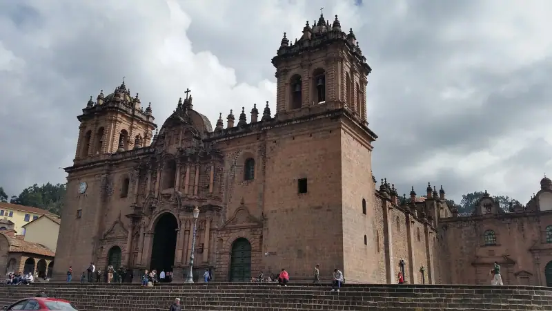
Salta, often nicknamed “la Linda” (the beautiful), is a colonial city built around Plaza 9 de Julio, lined with arcades and dominated by the cathedral. It is the natural gateway to the Northwest: it has the airport, car rental companies and a good choice of accommodation.
For a first day, stay on foot. Walk around the square, visit one of the museums devoted to Andean culture, then in the late afternoon go up San Bernardo Hill, reached by cable car, for a view over the Lerma Valley. Do not plan anything ambitious: the altitude, about 1,200 m (3,940 ft), is moderate, but jet lag and travel are tiring.
In the evening, try empanadas salteñas, oven-baked and juicy, and locro, a thick stew of corn and meat. For addresses and neighborhoods, see our guide where to stay in Salta and Humahuaca.
Where to stay in Salta?
Hotels and guesthouses in the center, to compare by dates and budget.
Day 2: the Quebrada de las Conchas to Cafayate
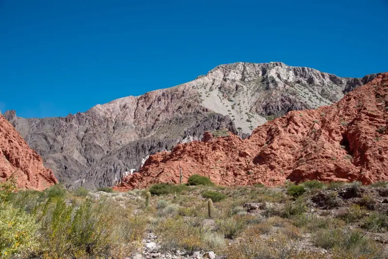
From Salta, the Ruta 68 heads south through the Lerma Valley, then plunges into the Quebrada de las Conchas, the “gorge of the shells”. The total distance is about 190 km (118 mi), which takes three and a half to four hours without stops, but you should plan on a full day.
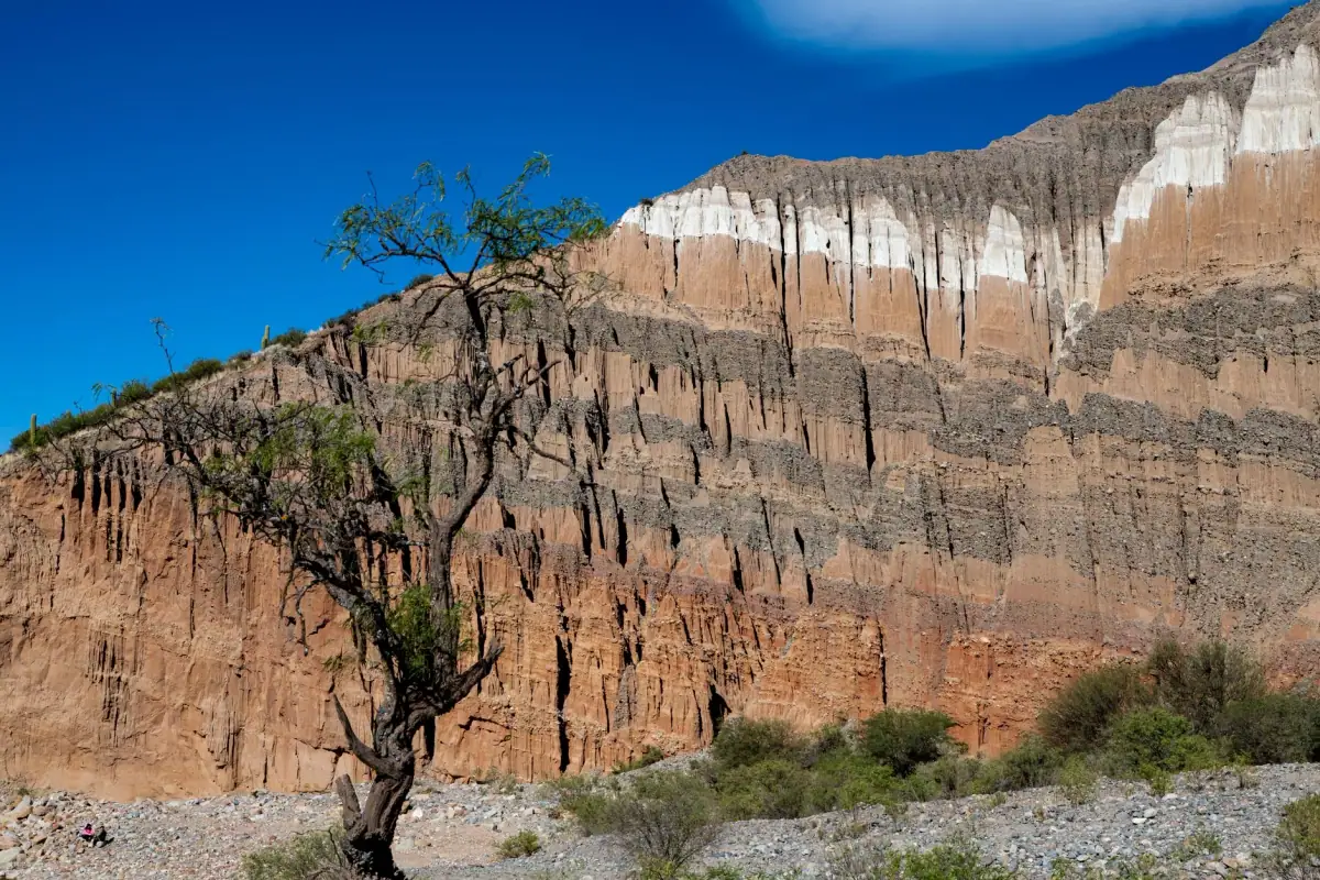
The scenery changes gradually: red, ochre and greenish cliffs are carved into spectacular shapes. Marked stops let you admire the most famous formations, including the Garganta del Diablo (the Devil’s Throat) and the Anfiteatro, a natural cavity with remarkable acoustics where musicians sometimes perform. The late-afternoon light gives the best colors: arrive in Cafayate without rushing.
Leave early to enjoy the morning light on the first kilometers and keep time for stops. Bring water, sunscreen and a hat: shade is rare. Also carry some cash, as craft stalls line the road.
Day 3: Cafayate and its high-altitude vineyards
Cafayate is a quiet small town centered on a tree-lined square and surrounded by vines. Its vineyards are among the highest in the world and are famous for torrontés, an aromatic white grape. Malbecs, cabernets and tannats are also made here. To understand the grape varieties and wine regions of the country, read our article on Argentine wines.
A morning is enough to visit two or three wineries, often a few minutes from the center. Tours with tasting are generally booked ahead, especially in high season. If you plan to drive afterward, book a guided tour: do not get back behind the wheel after several glasses.
In the afternoon, you can continue south on the Ruta 40 to see the Quilmes ruins, a former fortified indigenous site, or simply stroll. Try the wine ice cream, a surprising local specialty enjoyed on the square.
Tastings and excursions in Cafayate
Winery visits, torrontés tastings and excursions in the quebrada.
Day 4: the Ruta 40 to Cachi
This is the most adventurous day. The Ruta 40 climbs north through the Calchaquí Valleys, between Cafayate and Cachi. Depending on the source, the distance is between 140 and 160 km (87 to 99 mi), with a gravel stretch: allow about four hours, more if you make many stops. Road conditions vary with the season and roadworks: ask at your hotel or the tourist office before you leave.
The landscapes are beautiful: colorful mountains, rivers, adobe villages, fields of chili peppers and vines, and cardón cacti standing on the slopes. The villages of Angastaco and Molinos are along the road: they offer breaks for lunch or to buy wine and crafts.
If the weather is bad or you are not comfortable on gravel, go back up to Salta and reach Cachi the following day: you will lose time, but stay safe. Whatever happens, fill up in Cafayate and keep water in reserve.
Cachi is a village of white houses and quiet streets at the foot of the Nevado de Cachi. Take the time to walk up to the main square, then stroll until sunset.
Day 5: from Cachi to Salta via the Cuesta del Obispo
The return to Salta, about 155 km (96 mi) on the Ruta 33, is one of the most beautiful stretches of the route. The road crosses Los Cardones National Park, where cardón cacti stand like sentinels, then climbs the Cuesta del Obispo, a winding mountain section of about 25 km (16 mi) that rises to about 3,350 m (10,990 ft) at the Piedra del Molino viewpoint. The panorama is superb, but the road is narrow, with many hairpin bends.
Drive calmly, honk before blind bends and avoid driving in fog, which is frequent on this section. Going down toward the Lerma Valley, the vegetation becomes dense and green again: the contrast with the arid plateau is striking.
You reach Salta in the late afternoon: use it to do laundry, pass through the center again and rest before the second part of the trip.
Day 6: from Salta to Purmamarca
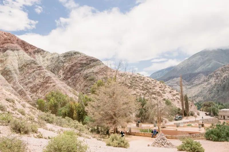
The Ruta 9 links Salta to San Salvador de Jujuy in about 90 km (56 mi) through a green valley and tobacco and sugar cane fields. From Jujuy, the road reaches the Quebrada de Humahuaca, a UNESCO World Heritage site, and the village of Purmamarca, about 65 km (40 mi) away. In total, expect about 150 km (93 mi) and three hours.
Purmamarca sits at the foot of the Hill of Seven Colors, whose colored layers look best in the morning. A small circular road, the “Seven Colors loop”, lets you see it up close, on foot or by car. The craft market on the square sells wool sweaters, jewelry and objects made of cactus wood.
Sleeping here lets you see the hill without the crowd of day-trip excursions. The altitude, about 2,300 m (7,550 ft), is already noticeable: do not start a long walk on the first day. To go deeper into this region, see our guide to Salta and the Quebrada de Humahuaca.
Day 7: the Salinas Grandes and Tilcara
From Purmamarca, the road climbs in switchbacks to the Cuesta de Lipán, which tops out above 4,000 m (13,120 ft). It is the highest point of the route. Ask your doctor or a travel clinic about high altitude before you go, and see the official travel health pages (CDC in the US, TravelHealthPro in the UK).
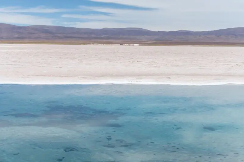
The road leads to the Salinas Grandes, an immense dazzling white salt desert, about sixty kilometers (37 mi) from Purmamarca. Artisans harvest salt there, and visitors take photos playing with perspective. Bring sunglasses and sunscreen: the glare is intense.
Return to the quebrada and continue to Tilcara, a lively small town in the middle of the valley. Its Pucará, a restored pre-Columbian fortress, offers a view over the valley and the cacti. The streets are pleasant for lunch or dinner, with a livelier atmosphere than in Purmamarca.
Excursions in the Quebrada de Humahuaca
Guided visits of Purmamarca, the Salinas Grandes and Tilcara.
Day 8: Humahuaca, Hornocal and back to Salta
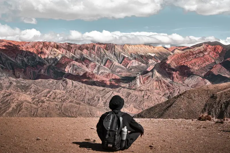
Humahuaca, which gave the valley its name, is about 45 km (28 mi) north of Tilcara. You explore the town on foot around its square, church and craft market. The cobbled streets, low facades and high-altitude light give it a very Andean charm.
About thirty kilometers (19 mi) away, the Serranía de Hornocal, the “Mountain of Fourteen Colors”, is one of the most famous viewpoints of the Northwest. It lies above 4,000 m (13,120 ft): the road is dirt, the bends are tight. The morning hours are best for the light.
The return to Salta on the Ruta 9 from Humahuaca is about 215 km (134 mi), roughly four hours of driving. With the drive from Tilcara and the round trip to Hornocal, it is the longest day of the route, about 300 km (186 mi): leave very early, or split it by sleeping in Humahuaca or Jujuy. Plan to leave Humahuaca in the early afternoon at the latest, so as not to drive at night, and keep a buffer before any flight: if your plane leaves the next day, spend the last night in Salta or Jujuy.
Budget, seasons and practical tips
When to go
The dry season, from about March to November, is the most pleasant: clear skies, open roads and bearable daytime temperatures. Nights are cool at altitude, especially in the austral winter (June to August), when the thermometer drops below freezing (below 32 °F) above 3,000 m (9,840 ft). Summer (December to March) brings sometimes violent storms that can cut dirt roads. Our guide when to go to Argentina details these variations.
Where to stay
Alternate nights in towns and villages: Salta for logistics, Cafayate and Cachi for calm, Purmamarca or Tilcara for the landscapes. Book ahead in high season, as the small villages have few rooms. Accommodation at altitude is not always heated: check this in winter.
Gear
- Layered clothing: windbreaker, fleece, hat for high-altitude nights
- Sunglasses, sunscreen, hat
- Reusable water bottle and snacks
- Car charger, cable, offline maps
- Small first-aid kit
For more gear ideas, see our article on accessories for Argentina. Also consider travel insurance that includes medical evacuation: at altitude and on isolated roads, it can be valuable.
Variations by length of stay
With 5 days: do only the south loop (Cafayate and Cachi) or the north loop (Purmamarca, Tilcara, Humahuaca), starting from Salta. The two loops are very different: the south is more wine and mineral, the north more Andean and colorful.
With 10 days: add a night in Cachi to explore the surroundings on foot, and a night in Tilcara or Humahuaca. You can also replace some nights with more remote stops, but keep night driving out of the plan.
Without a car: buses link Salta to Cafayate, Cachi and Jujuy, then to the villages of the quebrada. Organized excursions from Salta cover the Quebrada de las Conchas, Cafayate and Humahuaca. It is less flexible, but more restful. Our guide to visiting Cafayate without a car details the bus, the excursion and the wineries on foot or by bike.
In summary
This eight-day road trip gives a condensed version of Argentina’s most varied landscapes, far from the big cities: red cliffs, high-altitude vineyards, giant cacti, salt deserts and Andean villages. Distances are reasonable, but altitude, mountain roads and gravel call for caution and time. Keep margins, avoid driving at night and use the morning light for your best photos.
Sources
- Vialidad Nacional (Argentina.gob.ar): figures checked November 2026
- Argentina.gob.ar (Ministry of Culture): figures checked November 2026
Frequently asked questions
How many days do you need for a road trip in northwest Argentina?
Eight days cover the two big routes from Salta: the south (Quebrada de las Conchas, Cafayate, Cachi) and the north (Purmamarca, Tilcara, Humahuaca). With five days you have to pick one of the two loops; with ten you can slow down and add nights in villages.
Do you need a 4x4 for this route?
No, a standard rental car is enough for most of the route, which follows paved roads. Only the stretch of Ruta 40 between Cafayate and Cachi is partly gravel: take it carefully, ideally with a slightly higher vehicle, or skip it by going back through Salta.
Can you drive in Argentina with a foreign license?
Rental companies generally ask for your national driver's license, sometimes together with an international driving permit. Check the exact conditions with the rental company before you leave, and keep the vehicle papers in the car for police checks.
How high does this road trip go?
Salta is at about 1,200 m (3,940 ft), the Quebrada de Humahuaca rises above 3,000 m (9,840 ft) and the road to the Salinas Grandes crosses a pass above 4,000 m (13,120 ft). Ask your doctor or a travel clinic, and see the official travel health pages (CDC in the US, TravelHealthPro in the UK).
What is the best time for this road trip?
The dry season, from about March to November, offers clear skies and open roads. Summers (December to March) bring storms and rain that can cut some dirt roads. See our guide to choose when to go.
Where do you fill up on fuel?
Fill up in the larger towns (Salta, Cafayate, Cachi, Jujuy, Humahuaca) as soon as the tank drops below half. Between villages, stations are rare and a station sometimes runs out of fuel. Also keep some cash for tolls and small towns.
More Argentina guides
Keep reading
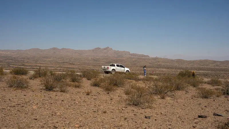
Argentina budget: real costs by item and 3 travel profiles
What budget for Argentina? Real costs by item (lodging, transport, meals, activities), three profiles priced per day and tips to spend less.
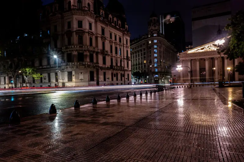
Visiting Buenos Aires: what to see and do in 3 days in the capital
Plaza de Mayo, San Telmo, La Boca, Recoleta, Palermo, Puerto Madero: a 3-day program to visit Buenos Aires, with transport and neighborhood tips.
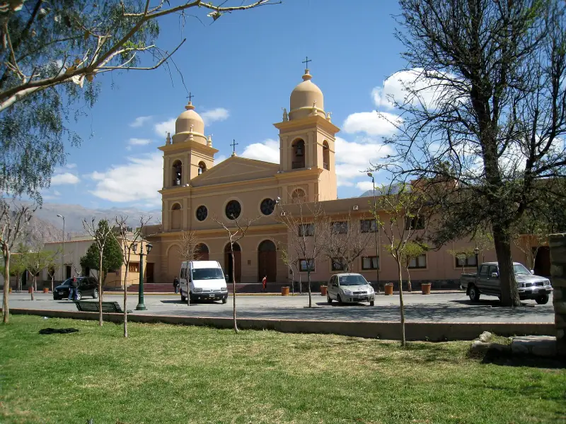
Cafayate without a car: bus, excursion or bike to see the wineries and the Quebrada de las Conchas
Getting to Cafayate without renting a car: bus from Salta, day excursion or a night in town, wineries on foot or by bike. What to choose and how to book.
Ready-made
Argentina itineraries
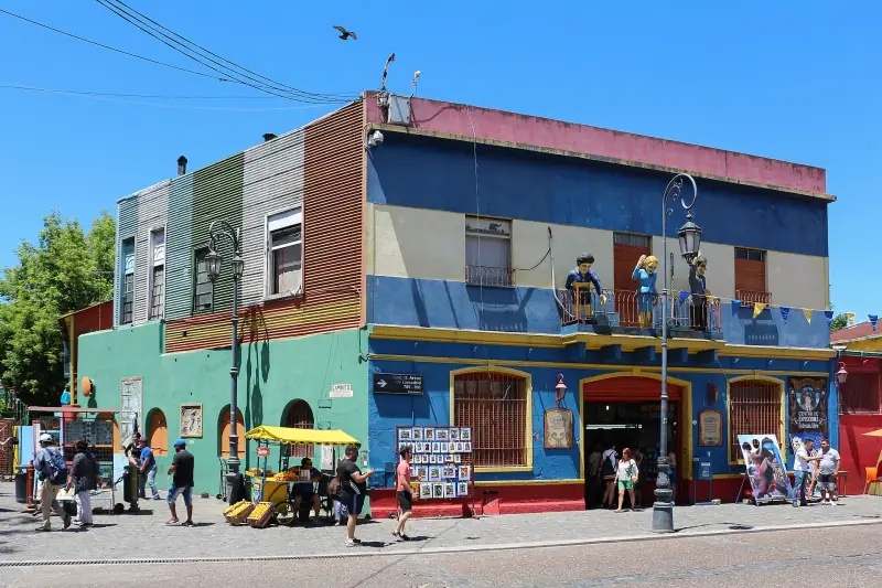
14 days
Argentina in 2 weeks: Buenos Aires, Iguazú, Salta and Mendoza
Buenos AiresPuerto IguazúSaltaMendoza
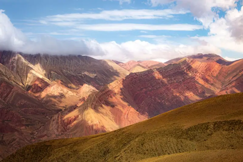
22 days
Argentina in 3 weeks: Buenos Aires, Iguazú, Northwest, Mendoza, Córdoba and Valdés
Buenos AiresPuerto IguazúSalta and the NorthwestMendozaCórdobaPuerto MadrynBuenos Aires
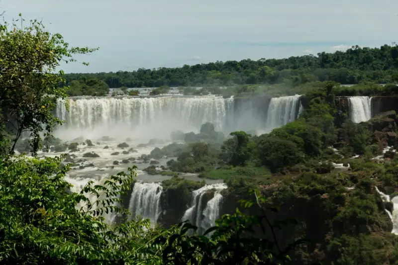
10 days
Argentina in 10 days without a car: a realistic itinerary with flights, buses and excursions
Argentina in 10 days without a car: Buenos Aires, Iguazú, Salta and Humahuaca by domestic flight, bus and excursion. Stops, distances, travel times.