What to see
Visiting Sagres and Cape St. Vincent: Fortress, Cliffs and Sunsets
We may earn a commission when you book through links on this page, at no extra cost to you. We don't visit or try the places we cover: we summarize published sources. How we work
In short
- Half a day covers the Sagres fortress and the cape, 6 km (3.7 mi) west of the village; a full day adds a beach or a short hike.
- From Lagos, Sagres is about 35 km (22 mi), roughly 35 to 45 minutes by road; from Faro Airport allow about 1 h 30 to 2 h.
- For the sunset at the cape, arrive at least an hour early and bring warm clothes and a windbreaker; the wind is frequent and strong.
- Swim with caution: the Atlantic is cool and the swell can be strong on exposed beaches; sheltered bays such as Mareta are calmer.
In the southwest of mainland Portugal, the Algarve changes face. The golden sand beaches and calm waters of the south coast give way to high cliffs, constant wind and an ocean that seems endless. Sagres, a small fishing village turned base for surfers and hikers, and nearby Cape St. Vincent make up one of the most striking landscapes of the region. This guide helps you plan your visit: what to see, in what order, and how to avoid the classic traps of wind, crowds and road.
Where are Sagres and Cape St. Vincent?
Sagres is at the western end of the Algarve, within the Southwest Alentejo and Vicentine Coast Natural Park. From Lagos, allow about 35 km (22 mi) and roughly 35 to 45 minutes by road. From Faro Airport, the trip takes about 1 h 30 to 2 h depending on traffic, usually by the A22 motorway then the national roads of the west. If you arrive via Lisbon, allow more time and, preferably, a night there so as not to do everything in one day.
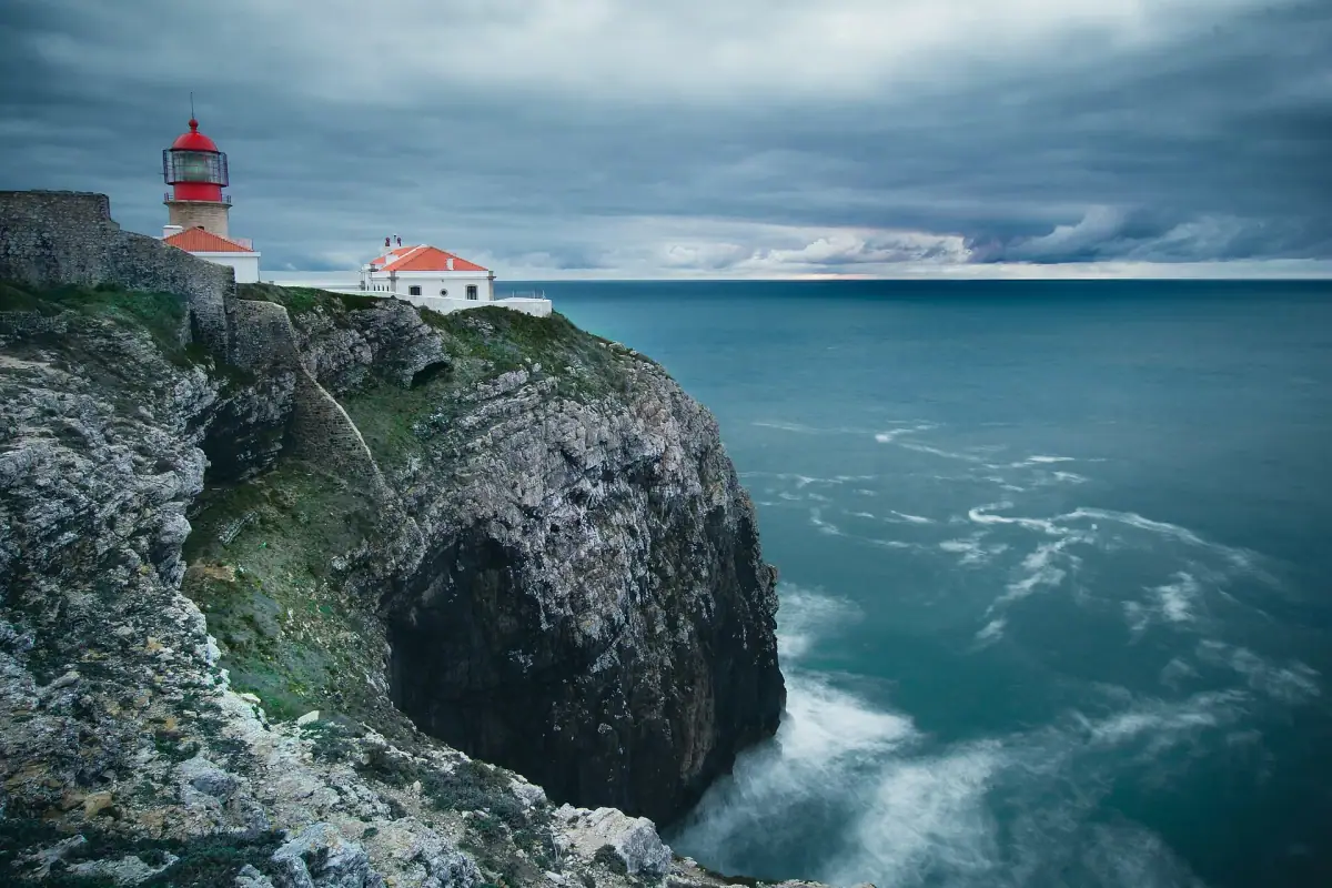
Cape St. Vincent is about 6 km (3.7 mi) west of the village. It is considered one of the southwesternmost points of mainland Europe. Since antiquity, this headland was regarded as a sacred place, at the end of the known world. Even today, the place keeps this particular atmosphere, especially late in the day.
Flights to the Algarve
Compare flights to Faro, the most practical airport to reach Sagres.
The Sagres fortress: a headland facing the Atlantic
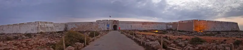
The Sagres fortress occupies a rocky plateau jutting into the sea, beaten by the wind and surrounded by cliffs. You enter through a fortified gate, then walk across a wide open space dotted with simple buildings, a small chapel and a large wind rose traced on the ground in stone. Tradition readily associates this place with Prince Henry the Navigator and the first Portuguese maritime explorations; historians, however, question the exact role he played there, and it is better to see the place as a symbol of the Age of Discovery rather than a “school” in the strict sense.
The interest of the visit lies mostly in the landscape. The path runs along the edge of the headland and offers clear views of the cliffs, the bay and the Atlantic horizon. Allow about an hour there, a bit more if you like taking photos. Hours and prices change with the season: check the official information before you go, and ideally come at the start or end of the day, when the light is softer and groups are fewer.
A few practical tips:
- Wind: even in fine weather, it is frequent and can be strong. A windbreaker is useful in every season.
- Shade: the site is very open, with little shelter. Bring a hat, sunscreen and water in summer.
- Footwear: the ground is uneven in places, so avoid flip-flops.
Cape St. Vincent and its lighthouse: the sunset highlight
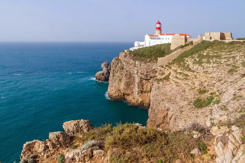
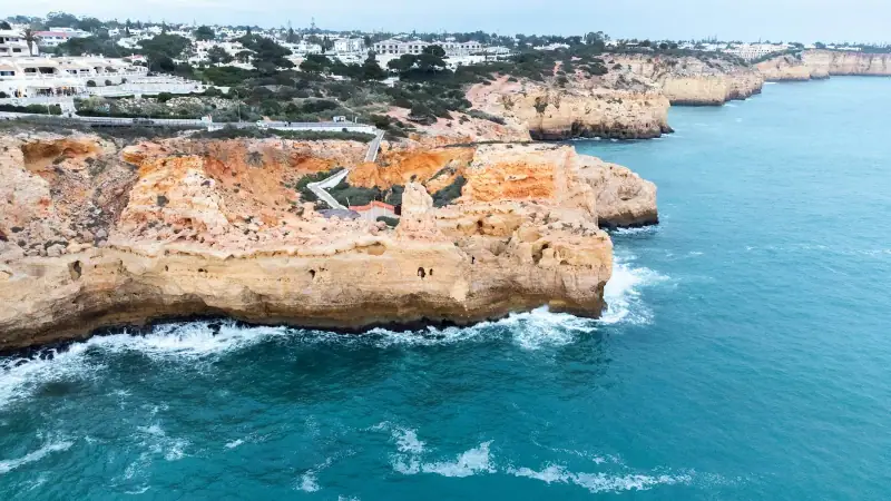
About 6 km (3.7 mi) from Sagres, the road ends on a point of steep cliffs topped by a lighthouse built in the 19th century. It is one of the most powerful lighthouses in Europe, and its beam sweeps the ocean every night. The site is covered on foot in a few dozen minutes: you follow the cliff edge, stop at the viewpoints and watch the waves break far below.
The sunset draws many people in season. To enjoy the moment without stress:
- Arrive at least an hour before sunset, to find a parking space and a good spot.
- Keep a flashlight or your phone’s light for the walk back to the car, as night falls quickly.
- Respect the barriers and keep away from the edge: the cliffs are high and the wind can surprise you.
- Dress warmer than on the south coast, as the temperature drops quickly once the sun has set.
It is also a popular place with bird watchers. Depending on the season, the region is a passage corridor for many migratory birds, which makes it an interesting stop for observers, preferably with binoculars.
Places to stay in Sagres
Hostels, guesthouses and small hotels to sleep near the cape and the beaches.
The beaches around Sagres: surf, swimming and coves
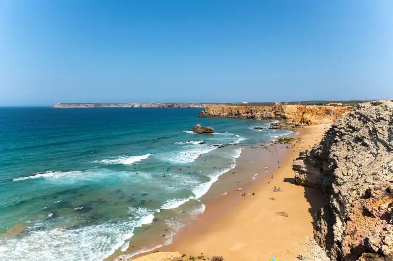
Around the village, several beaches offer very different characters depending on the direction of wind and swell. The principle is simple: beaches open to the west receive the Atlantic swell and attract surfers, while bays facing southeast are more sheltered.
- Mareta beach, at the foot of the village, is a small sheltered bay, handy for an easy swim or a quick break.
- Tonel beach, near the fortress, is exposed to the swell and very popular with surfers and bodyboarders.
- Beliche beach, on the road to the cape, is reached by a staircase and offers a wild setting between two cliffs.
The Atlantic water stays cool, even in midsummer. If you are new to surfing, it is better to go through a local school, which picks the most suitable beach each day for the conditions. To compare other areas of the coast, see our selection of the most beautiful beaches in the Algarve.
Hiking on the Costa Vicentina: the cliff trails
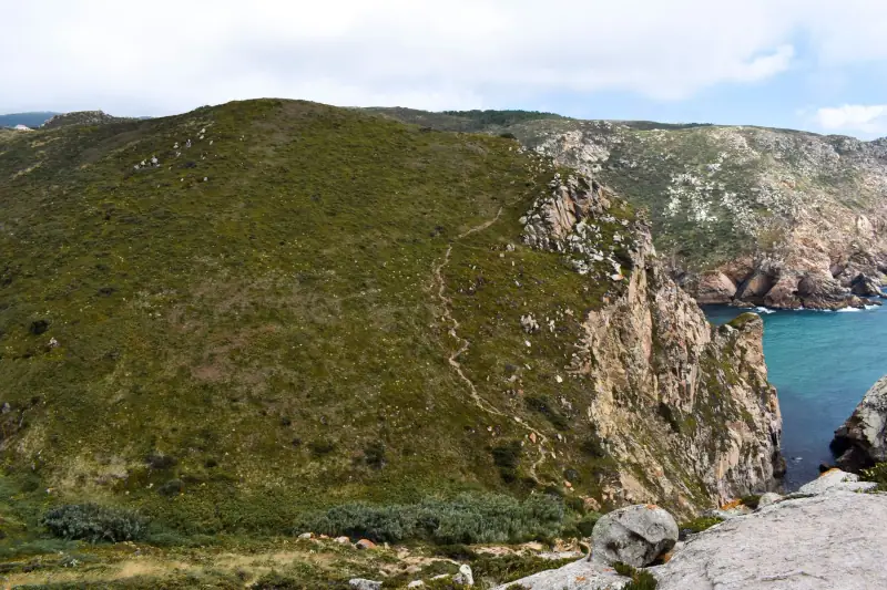
Sagres is also an excellent starting point for walking. The Costa Vicentina is crossed by marked trails that follow the coast, including the famous Fishermen’s Trail, part of the Rota Vicentina. The trails cross low, open vegetation, pass spectacular cliffs and sometimes go down to sandy coves.
A few benchmarks for walking without nasty surprises:
- Choose a short section if you are setting out for the first time: the terrain is often sandy and exposed to the wind.
- Leave early in summer, as there is little shade.
- Bring enough water: refill points are rare.
- Check the weather before you go and avoid the cliffs in strong wind or rough sea.
To go further north, the villages of Vila do Bispo and Carrapateira, on the west coast, are good stops to discover huge beaches and even wilder landscapes. They are easy to visit by car from Sagres.
Excursions around Sagres
Boat trips, guided hikes and nature activities along the west coast of the Algarve.
Planning: car, duration and best season
Car or public transport? Sagres can be reached by bus from Lagos, but schedules are limited and it is complicated to reach the cape, the isolated beaches or the villages of the west coast without a vehicle. A small rental car is the most flexible way, especially as distances are short. Book it in advance in high season.
How long? For a balanced program, allow a day:
- Morning: Sagres fortress, then a swim or a break at the beach.
- Afternoon: a short cliff hike or a visit to Vila do Bispo and Carrapateira.
- End of day: Cape St. Vincent for the sunset.
When to come? From late spring to early fall, conditions are generally pleasant. Summer is the busiest period, especially at the cape late in the day. Off season, the region is much calmer, but wind and cool air can surprise you: check the weather.
Where to sleep? Sagres offers mostly hostels, guesthouses, apartments and a few hotels. If you prefer more life and more choice for eating, Lagos remains an excellent base, about 35 km (22 mi) away. Our guide where to stay in the Algarve details the advantages of each area.
Fitting Sagres into a wider trip
Sagres fits very well into a circuit of the Algarve. It is the natural last stop of a trip from east to west, after the cliffs of Lagos and the Benagil area: our 7-day road trip in the Algarve places it on day 6. For a slower stay, two nights on site let you see the cape at sunset, then spend a morning on the beaches or trails without rushing.
At the table, favor the region’s fish restaurants: our guide to eating in the Algarve helps you spot the specialties to try, notably the seafood of the west coast.
Practical questions before you go
A few habits simplify the visit:
- Fuel and groceries: fill up and shop before heading to isolated beaches, as shops are rare outside the villages.
- Weather: check the wind and swell forecasts the same morning, as they determine the choice of beach.
- Respect for the site: stay on the trails, leave no trash and do not approach the cliff edge.
- Photos: the light is best early in the morning and late in the afternoon.
With a little organization, Sagres and Cape St. Vincent offer one of the finest contrasts of the Algarve: after the golden beaches of the south, a raw, open and striking landscape that gives your trip a fitting conclusion.
Frequently asked questions
How much time should you plan for Sagres and Cape St. Vincent?
Half a day is enough for the fortress and the cape, a full day if you add a beach or a short hike. To enjoy the sunset, plan to stay until the end of the day.
How far is Cape St. Vincent from Sagres?
The cape is about 6 km (3.7 mi) from Sagres, a few minutes by car or a walk of several kilometers along the coast.
Can you get to Sagres without a car?
It is possible by bus from Lagos, but connections are limited and reaching the cape or the isolated beaches is simpler by car or organized excursion. Check the schedules before you go.
Should you swim at Sagres?
Yes, but with caution. The Atlantic water is cool, even in summer, and the swell can be strong on exposed beaches. Sheltered bays, such as Mareta, are calmer. Always respect the flags.
What is the best time to go?
From late spring to early fall for pleasant conditions. Off season, the site is much calmer, but the wind can be steady: always bring a windbreaker.
More Algarve guides
Keep reading
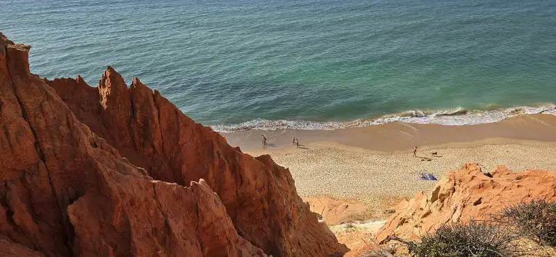
The Most Beautiful Beaches in the Algarve: A Selection by Area
The best beaches in the Algarve: Lagos coves, Carvoeiro cliffs, Ria Formosa islands and the wild west coast. Where to go depending on what you want.
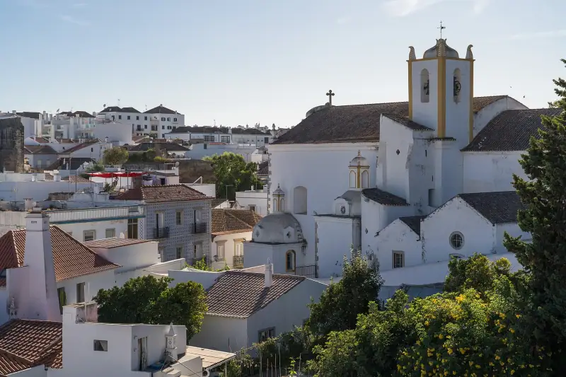
Visiting Tavira and the Ria Formosa: What to See and Do in 2 Days
What to see in Tavira and the Ria Formosa? Historic center, bridge, barrier islands, Cacela Velha and practical tips to plan your visit in the Algarve.
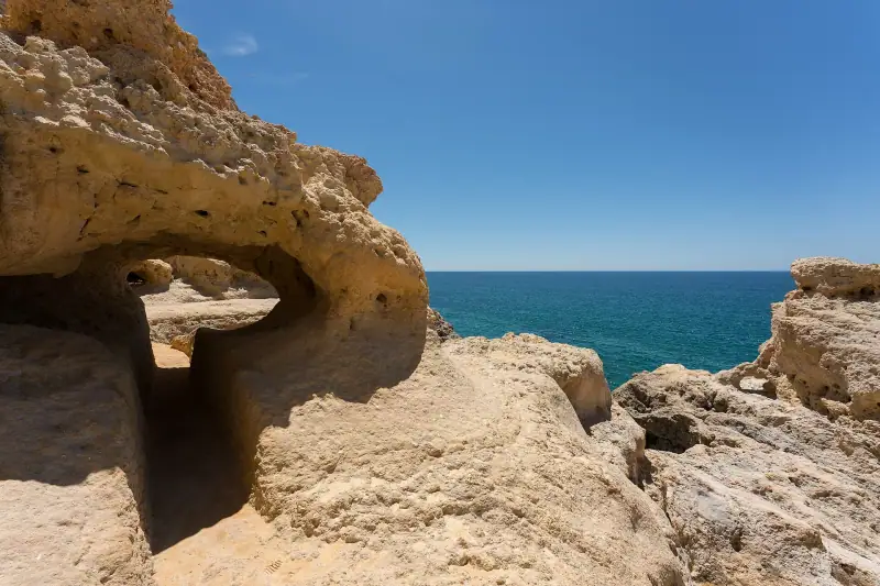
Algarve Travel Guide: Regions, Highlights, Budget and Tips
Visiting the Algarve: regions and towns, highlights, best time to go, getting around, where to stay and budget. The main guide to plan your trip.
Ready-made
Algarve itineraries
3 days
4 days
7 days
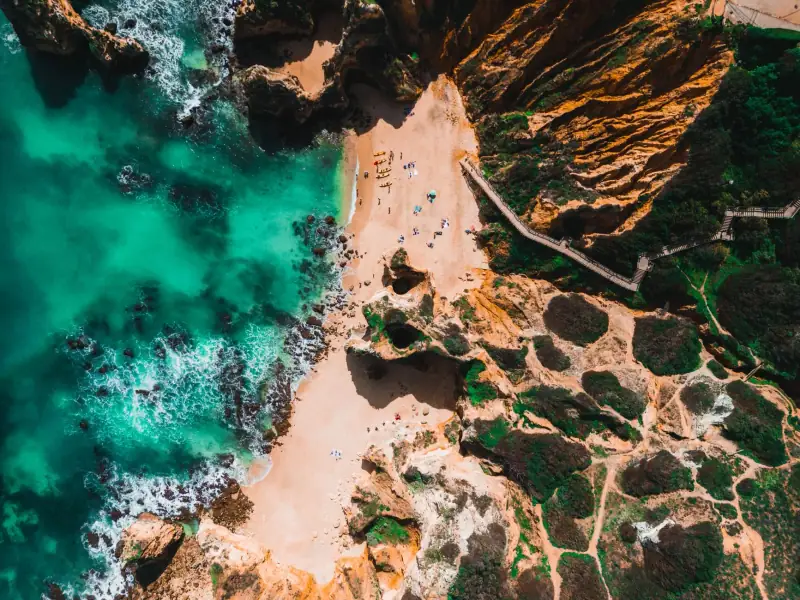
Algarve Road Trip: A 7-Day Itinerary from East to West
A 7-day Algarve road trip from Faro to Sagres: stops, distances, beaches, white villages and tips for driving and sleeping along the coast.