Things to do
Hiking in Crete: Best Trails and Routes
We may earn a commission when you book through links on this page, at no extra cost to you. We don't visit or try the places we cover: we summarize published sources. How we work
In short
- 63% of Crete is mountainous, with three ranges above 2,000 m (6,560 ft): the White Mountains, Psiloritis (2,456 m / 8,058 ft) and the Dikti Mountains.
- Samaria Gorge is the best-known hike: 16 km (10 mi) downhill, 6-8 h, moderate, May to October. Imbros Gorge (3-4 h, easy) is a quieter alternative.
- The E4 trail crosses Crete east to west for about 320 km (200 mi); allow 15 to 20 days for the full route or hike sections of 1 to 5 days.
- April-May and September-October are the best seasons. Avoid long high-altitude hikes in July-August, and wear sturdy hiking shoes.
Crete is an island of mountain people. 63% of its territory is mountainous, with three main ranges above 2,000 m (6,560 ft): the White Mountains (Lefka Ori, 2,452 m / 8,045 ft), Psiloritis (Ida, 2,456 m / 8,058 ft) and the Dikti Mountains (2,148 m / 7,047 ft). Dozens of gorges, hundreds of kilometers of marked trails and strikingly beautiful landscapes make it a leading trekking destination in the Mediterranean.
The mountain ranges of Crete
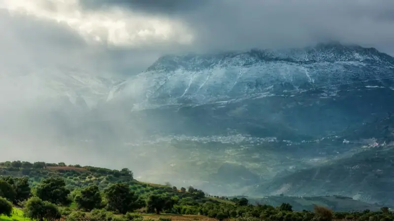
The White Mountains (Lefka Ori)
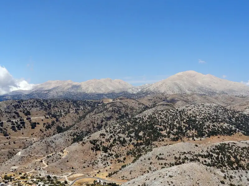
In western Crete, the White Mountains form the island’s most spectacular range. Their white color comes from the limestone rock of their bare summits. They stay snow-covered from November to May.
Samaria National Park is nestled in this range. Samaria Gorge is the signature hike of the Lefka Ori.
Highest points: Pachnes (2,453 m / 8,048 ft), Zaranokefala (2,225 m / 7,300 ft)
Psiloritis (Mount Ida)
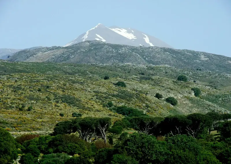
The highest peak in Crete and in the Aegean Sea, Psiloritis is the “throne of Zeus” in mythology. The Idaean Cave (Ideon Antron), at 1,500 m (4,920 ft) on its slopes, is according to mythology the place where Zeus grew up.
Highest point: Timios Stavros (2,456 m / 8,058 ft)
The Dikti Mountains
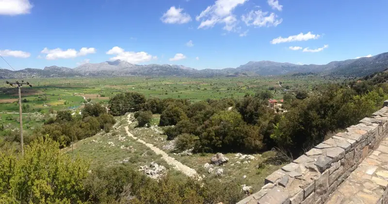
In eastern Crete, the Dikti Mountains shelter the Psychro Cave (Dictaean Cave), the legendary birthplace of Zeus. Less rugged than the other ranges, they are also greener.
Highest point: Spathi (2,148 m / 7,047 ft)
The best hikes
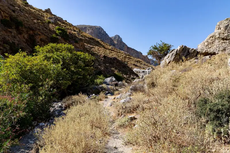
Samaria Gorge ★★★★★
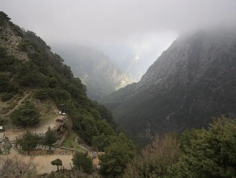
The most famous hike in Crete. 16 km (10 mi) of descent in the national park, between cliffs 600 m (1,970 ft) high. See our complete guide to Samaria Gorge.
Difficulty: Moderate | Duration: 6-8 h | Elevation change: -1,250 m (-4,100 ft) | Season: May to October
Imbros Gorge ★★★★
An alternative to Samaria Gorge, less known but magnificent. 8 km (5 mi) of descent (north to south only) through a wooded gorge with the famous narrow walls. Far less crowded than Samaria.
Difficulty: Easy | Duration: 3-4 h | Elevation change: -650 m (-2,130 ft) | Season: year-round (avoid heavy rain) Access: Imbros village from Chania (50 km / 31 mi)
Climbing Psiloritis ★★★★
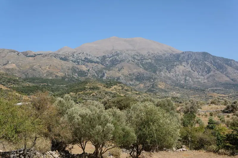
Crete’s sacred mountain is climbed from the Nida plateau (1,400 m / 4,595 ft), reachable by car from Anogeia. The climb to the summit (Timios Stavros, 2,456 m / 8,058 ft) and back takes 6 to 8 hours.
Difficulty: Hard | Duration: 6-8 h round trip | Elevation gain: +1,000 m (+3,280 ft) Season: June to October (snow before June) Important: Start early (5-6 am), and bring warm clothing and plenty of water
Guided hikes in Crete
Gorges, summits and coastal paths with an expert local guide.
The E4 coastal hike (E4 Coastal Path) ★★★★
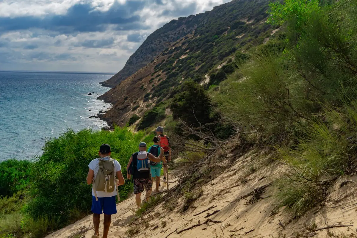
The European E4 trail crosses Crete from east to west. The southern coastal section (from Kato Zakros to Paleochora) is especially spectacular, running along cliffs, remote beaches and villages that cannot be reached by road.
Short sections are possible:
- Loutro → Hora Sfakion (3 h, easy): along impressive cliffs; access to the village is detailed in our Loutro guide
- Kato Zakros → Xerokampos (4 h, moderate): the Gorge of the Dead, wild east coast
Rouvas Gorge ★★★
In the Heraklion area, Rouvas Gorge offers a contrast with the dry gorges of the west. Here the vegetation is lush, with centuries-old plane trees and a stream that flows even in summer. Well-marked trail of 12 km (7.5 mi) round trip.
Difficulty: Moderate | Duration: 4-5 h round trip | Elevation gain: +400 m (+1,310 ft) Access: Agia Paraskevi village (45 km / 28 mi south of Heraklion)
Ha Gorge ★★★★
Among the most dramatic gorges in Crete, Ha Gorge in the Viannos area (south coast, east of Heraklion) is little known and rarely visited. Dizzying cliffs, tricky passages, wild scenery. For experienced walkers only.
Difficulty: Hard | Duration: 5-6 h round trip | Season: May to October
The Nida plain and the Lasithi Plateau ★★★
These two high mountain plateaus offer easy hikes suited to families:
Nida Plateau (1,400 m / 4,595 ft): base for the Psiloritis climb, easy trails, a traditional cheese farm, herds of goats.
Lasithi Plateau (900 m / 2,950 ft, Dikti area): old windmills dot this farming plateau surrounded by mountains. Loop hikes of 2 to 8 km (1 to 5 mi), suitable for everyone.
The E4 trail
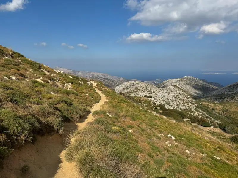
The European E4 trail crosses Crete from east to west over about 320 km (200 mi), mainly along the south coast and through the mountain ranges. It is one of the most beautiful stretches of this transcontinental trail.
Important waypoints:
- Kato Zakros (east)
- Gorge of the Dead
- Myrtos
- Matala
- Sfakia
- Imbros Gorge
- Samaria Gorge
- Elafonissi (west)
The trail is marked with yellow and black signs. Allow 15 to 20 days for the full crossing. Many travelers hike sections of 1 to 5 days.
Places to stay near the trails
Villages, huts and guesthouses for your hikes in Crete.
Resources to prepare your hikes
Topographic maps:
- Anavasi maps: the best hiking maps of Crete (1:25,000 and 1:100,000), available in Heraklion and Chania
- OpenTopoMap: available free online and in the Maps.me app
Mobile apps:
- Komoot: hiking routes with elevation profiles
- Wikiloc: GPS tracks uploaded by the community
- AllTrails: many Cretan hikes with reviews and photos
Weather:
- Summer thunderstorms can break out quickly in the mountains. Check the forecast every morning.
- On the high summits, conditions can change radically within an hour.
Tips for hiking safely
- Drink plenty of water: 2 to 3 liters (about 2 to 3 quarts) per hike in summer, and consider purification tablets for mountain springs
- Start early: before 7 am for long hikes in summer, to avoid the midday heat
- Tell someone your route if you head onto isolated trails
- Do not leave the marked trails in karst areas (risk of hidden cavities)
- Proper shoes: Cretan limestone is sharp and slippery. Sandals are not suitable for the gorges
- Sun protection: reflected by the white rock, the exposure is intense even in the shade
Crete is a paradise for hikers who know how to get off the beaten path. Far from the crowded beaches, its gorges, plateaus and summits reveal a wild, unspoiled island of breathtaking beauty.
Frequently asked questions
When is the best time to hike in Crete?
April-May and September-October are ideal: mild temperatures, green vegetation in spring, and no crowds. Summer (July-August) is best avoided for long high-altitude hikes, as the heat can be dangerous. Samaria Gorge closes in winter (November-April).
Can you hike in Crete without a guide?
Yes, many marked trails allow independent hiking. The E4 trail markings (yellow and black signs) are generally reliable. For isolated gorges and summit climbs (Psiloritis, Lefka Ori), a detailed topographic map or Anavasi maps are recommended.
What shoes should you wear for hiking in Crete?
Hiking shoes with a sturdy sole are essential for the vast majority of Cretan trails. Paths are often covered with sharp limestone stones. Hiking sandals may be fine for short coastal paths, but not for the gorges.
Are there mountain huts in Crete?
A few huts exist in the White Mountains and on the slopes of Psiloritis, run by the Hellenic Alpine Club (EOS). They are basic (dormitories) and often open only in season. Contact the EOS in Chania or Heraklion for reservations.
Is the climb of Mount Psiloritis difficult?
The climb of Psiloritis (Ida, 2,456 m / 8,058 ft, the highest peak in Crete) from the Nida plateau is moderate to difficult depending on the route. The round trip takes 6 to 8 hours. Mountain gear is required (warm clothing, water, map). Do not attempt it without mountain experience.
More Crete guides
Keep reading
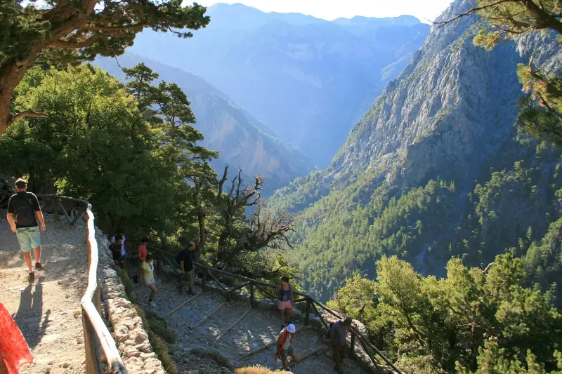
Samaria Gorge: Everything You Need to Know for the Hike
A complete guide to hiking the Samaria Gorge in Crete: route, difficulty, gear, prices and practical tips for this legendary hike.
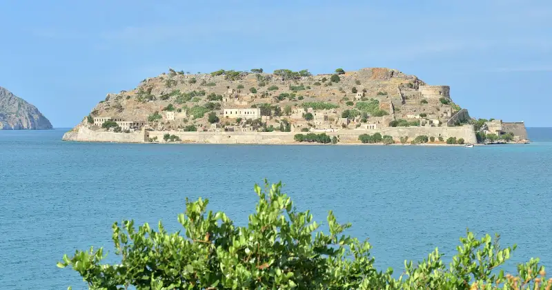
Visiting Spinalonga Island: A Complete Guide to the Leper Fortress
Guide to visiting Spinalonga in Crete: history, access, prices and tips. A Venetian fortress and former leper colony in the Gulf of Mirabello.
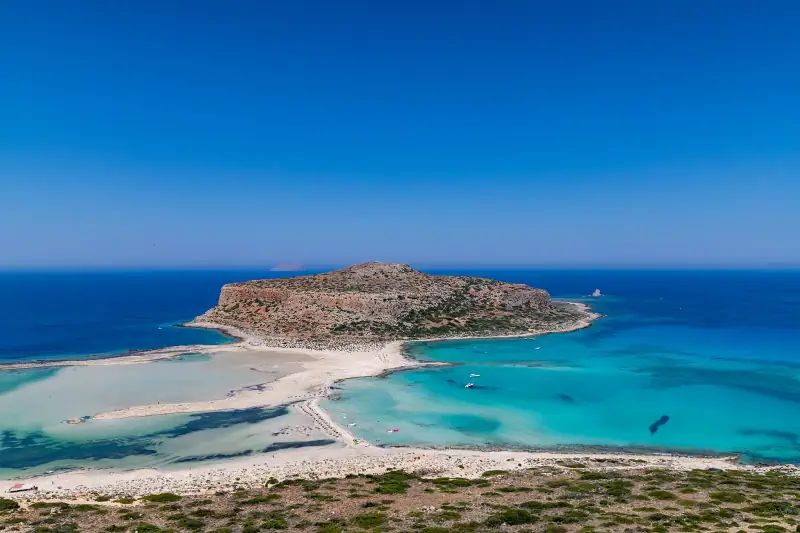
The Best Beaches in Crete, by Region
The best beaches in Crete: Elafonissi, Balos, Falassarna, Vai, Matala... a full selection with access, parking and practical tips.
Ready-made
Crete itineraries
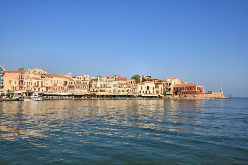
3 days
3 Days in Chania: A Complete Itinerary
3 days in Chania, Crete: Venetian old town, Samaria Gorge, Balos and Elafonissi beaches. Detailed plan and practical tips.
Can be adapted in the planner

10 days
10 Days in Crete: A Complete Itinerary to Discover the Island
HeraklionRethymnoChaniaAgios Nikolaos or Elounda
14 days
Crete Road Trip: The Complete Driving Itinerary
Plan your Crete road trip from end to end: a 10 to 14 day itinerary, scenic roads, lesser-known villages and secluded beaches to reach by car.