Things to do
Hiking in Mallorca: the best trails of the Serra de Tramuntana
We may earn a commission when you book through links on this page, at no extra cost to you. We don't visit or try the places we cover: we summarize published sources. How we work
In short
- The Serra de Tramuntana is 90 km (56 mi) long and 15 km (9 mi) wide, peaking at Puig Major (1,445 m, or 4,741 ft); the GR 221 "Dry Stone Route" crosses it in 6 to 8 days.
- Best periods are March to May and September to November, with mild temperatures (15-25 °C, or 59-77 °F); in summer, start before 8 am and finish before 1 pm.
- Easy options: Cala Tuent from Sa Calobra (4 km, or 2.5 mi round trip), Cap de Formentor, Sa Dragonera island; hard ones: Camí de s'Arxiduc, Puig de Galatzó, Torrent de Pareis.
- GR 221 refuges must be booked online, at €12-18 a night (about $14-21).
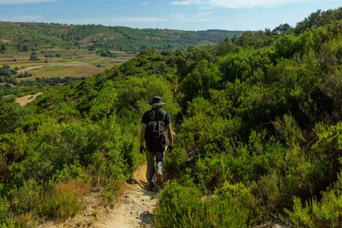
The Serra de Tramuntana is a paradise for Mediterranean hikers. This 90 km (56 mi) mountain range, a UNESCO World Heritage site, offers some of the finest trails in the Mediterranean basin: cliffs plunging into the sea, ancient olive groves, shaded torrents and breathtaking panoramic views. Whether you are a beginner or an experienced walker, Mallorca has a trail for you.
Understanding the Serra de Tramuntana
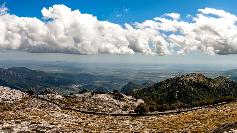
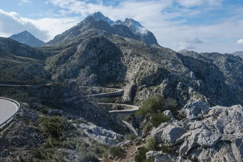
The Serra de Tramuntana runs from Cap de Formentor in the north to Andratx in the southwest, 90 km (56 mi) long and 15 km (9 mi) wide. It peaks at Puig Major (1,445 m, or 4,741 ft), the highest summit in the Balearic Islands.
UNESCO listed this cultural landscape in 2011 for the remarkable co-evolution of people and nature: dry-stone terraces farmed for 2,000 years, Arab water systems (fonts i sínies), and hilltop villages like Deià or Fornalutx form an agrarian landscape of unique beauty.
The GR 221: the Dry Stone Route
The great crossing of the Serra de Tramuntana is the GR 221, known as the “Dry Stone Route.” It runs from Andratx (southwest) to Pollença (northeast) over about 150 km (93 mi) (main route) to 261 km (162 mi) (including variants), divided into 8 stages.
Overall difficulty: moderate to hard Total duration: 6 to 8 days Cumulative elevation gain: about 8,000 m (26,250 ft) Refuges: refugis (hiker lodges) bookable online on the Council of Mallorca site
This crossing is considered among the finest in all of Spain.
The 7 best trails in Mallorca
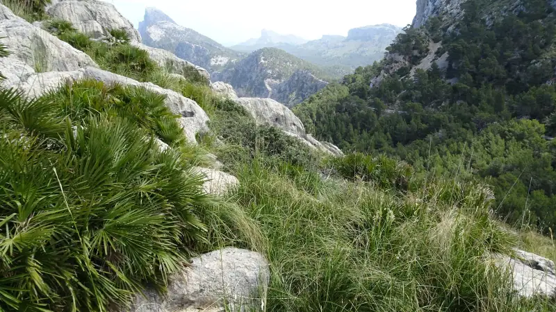
1. Camí de s’Arxiduc (Archduke’s Circuit): legendary
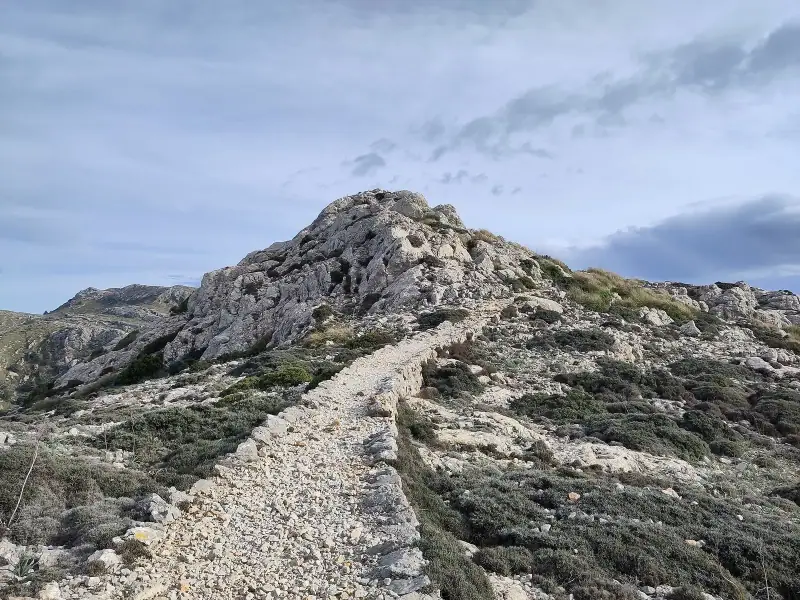
Difficulty: Hard ⭐⭐⭐⭐ Distance: 14 km (8.7 mi) loop Elevation gain: +695 m (2,280 ft) Duration: 4-5 hours Start: Valldemossa
This legendary trail, also known as the Archduke Circuit, is arguably the finest hike in Mallorca. It follows the historic path of Archduke Ludwig Salvator (19th century), linking Valldemossa to Deià along the mountain ridge. The trail follows terraces of ancient olive trees, crosses the ridge with 360° views over the Mediterranean, and offers breathtaking panoramas from the summit (944 m, or 3,097 ft).
Highlight: the view from the ridge over the coast between Valldemossa and Deià is unforgettable. You can also choose a one-way trip from Valldemossa to Deià (12 km, or 7.5 mi) or the full circuit (14 km, or 8.7 mi).
Note: access via Muntanya del Voltor crosses private property and requires authorization: ask before you set out with the Muntanya del Voltor association or the Valldemossa town hall (failing that, the Camí de ses Basses remains a public access).
2. Puig de Galatzó (Galilea-Puig de Galatzó): panoramic
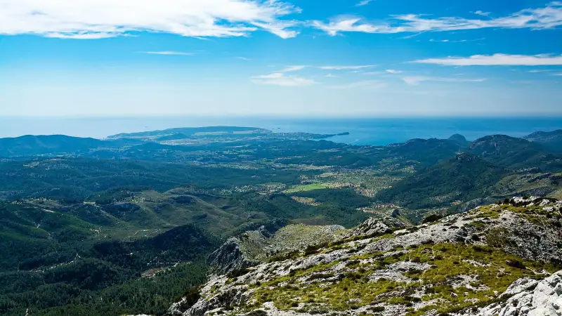
Difficulty: Hard ⭐⭐⭐⭐ Distance: 11.6 km (7.2 mi) round trip Elevation gain: +967 m (3,173 ft) Duration: 4-5 hours Start: Village of Galilea
The climb to Puig de Galatzó (1,026 m, or 3,366 ft) rewards you with an exceptional panorama over all of southwest Mallorca and, in clear weather, Ibiza. The trail crosses pine and holm oak forests before emerging on a rocky plateau.
3. Barranc de Biniaraix (Sóller to the Cúber refuge)
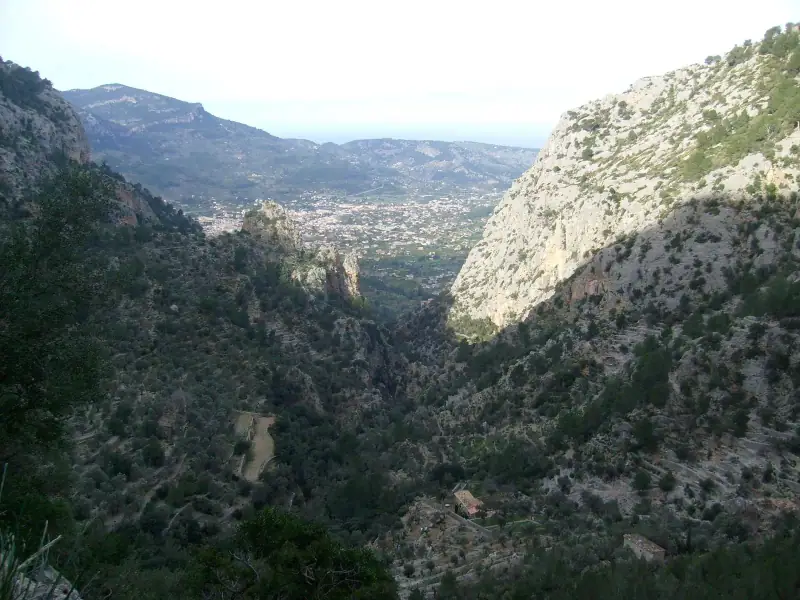
Difficulty: Moderate ⭐⭐⭐ Distance: 14 km (8.7 mi) round trip (or 7 km, or 4.3 mi round trip to the barranc) Elevation gain: +650 m (2,130 ft) Duration: 4-5 hours Start: Biniaraix (hamlet near Sóller)
The Biniaraix gorge is one of the Serra’s most emblematic trails. Thousands of dry-stone steps cut into the rock climb through orange groves and shaded torrents to the mountain reservoirs (Cúber and Gorg Blau).
Ideal for: photographers, nature lovers, families with seasoned children.
4. Torrent de Pareis (Sa Calobra): the most spectacular
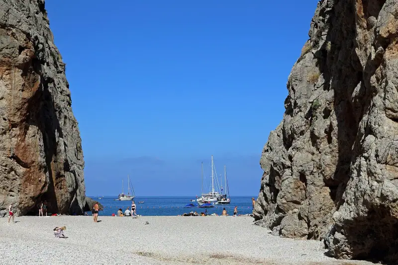
Difficulty: Hard to very hard ⭐⭐⭐⭐⭐ Distance: 6.5-8 km (4-5 mi) one way Duration: 3.5-5 hours (a full day) Start: Escorca (reachable by car) End: Sa Calobra beach (return by boat possible)
The descent of the Torrent de Pareis, the largest gorge in the Balearic Islands, is a unique geological adventure. The riverbed narrows until it forms a natural tunnel cut into the limestone. The descent involves non-technical climbing, narrow passages and wet areas. Do not do it alone, do not do it without GPS.
Important: avoid in winter and after rain (risk of flash floods).
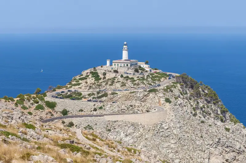
5. Cap de Formentor (lighthouse): for the views
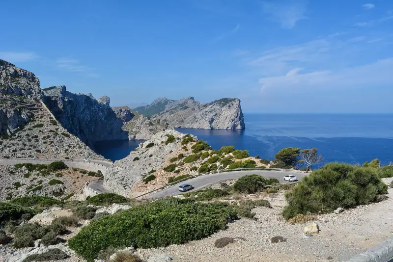
Difficulty: Easy to moderate ⭐⭐ Distance: 8 km (5 mi) round trip from the Mirador des Colomer car park Duration: 2-3 hours Start: Mirador des Colomer car park (plan to arrive early in summer)
The trail runs along the red cliffs of Cap de Formentor to the lighthouse, with dizzying views over the sea. Exposure is high; bring a hat and water. In summer, shuttles replace private cars for this trail (in 2026, car access is restricted from May 15 to October 18, from 10 am to 10 pm, with the TIB L334 shuttle from Alcúdia and Port de Pollença; check the dates for the year on the DGT website).
6. Walking around Sa Dragonera island
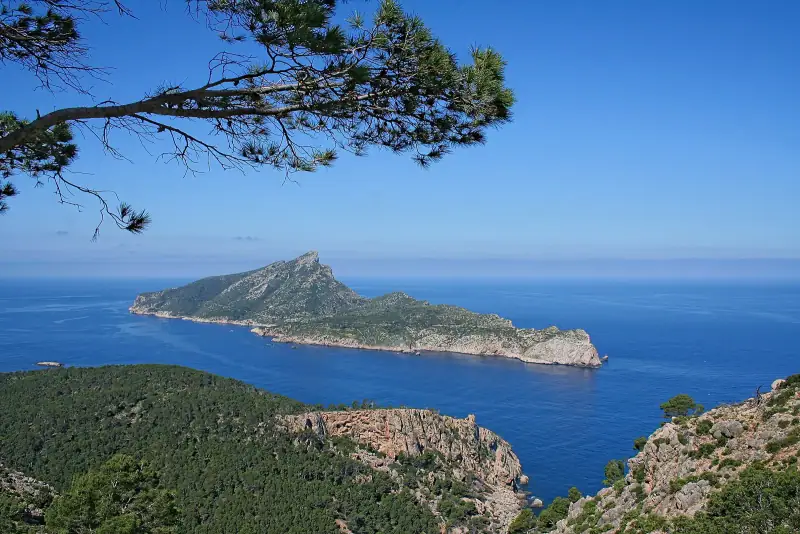
Difficulty: Easy to moderate ⭐⭐ Distance: 8 km (5 mi) loop Duration: 3 hours Access: ferry from Sant Elm (Andratx)
Sa Dragonera is an uninhabited dragon-shaped island, separated from Mallorca by about 700 meters (2,300 ft). A nature reserve, it is home to endemic lizards, seabirds and typical scrubland vegetation. The loop around the island offers views of Mallorca, Ibiza and the African coast in clear weather.
7. Cala Tuent from Sa Calobra: the secret cove
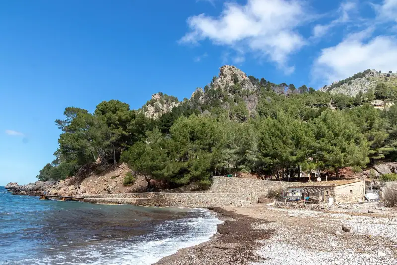
Difficulty: Easy ⭐⭐ Distance: 4 km (2.5 mi) round trip Duration: 1 h 30 Start: Sa Calobra beach
This short hike on the GR 221 links the famous Sa Calobra beach to the much less busy cove of Tuent. The trail follows the coast with views of the cliffs. Reward: a pebble beach in a wild setting with a famous fish restaurant.
Practical tips for hiking in Mallorca
Essential gear
- Hiking shoes with non-slip soles (trails can be slippery)
- Water (at least 2 liters per person for a half day)
- Sunscreen SPF 50+
- Hat
- Walking poles (recommended for steep descents)
- GPS or a Maps.me/Komoot app with an offline map
Regulations
- GR trails are public and free
- Some private properties crossed by historic trails require you to close the gates
- Fires are forbidden in the mountains
- Dogs allowed on a leash
Refuges and hiker accommodation
The Council of Mallorca manages a network of refugis (refuges) for overnight stays on GR 221 stages:
- Online booking required (caminsdepedra.conselldemallorca.es)
- Price: €12-18 a night (about $14-21)
- Facilities: dorms, shared kitchen, hot shower
For a base for your hiking, see our guide to where to stay in Mallorca.
Hotels in Sóller and Deià
Ideal bases for hikers in the Serra de Tramuntana.
Frequently asked questions
What is the best time to hike in Mallorca?
March to May and September to November are the best periods. Temperatures are mild (15-25 °C, or 59-77 °F), the vegetation is lovely and the trails are less crowded than in summer.
Do you need a guide to hike in the Serra de Tramuntana?
No, the trails are well marked with GR markers and direction signs. However, a local guide is useful for discovering unlisted trails and learning about the wildlife and plants.
Is the GR 221 (Dry Stone Route) suitable for beginners?
Some sections are accessible to beginners, notably the coastal stages around Port de Sóller. Other sections (Esporles-Banyalbufar, Valldemossa-Deià) are more demanding, with significant elevation changes.
Can you hike in Mallorca in summer?
Technically yes, but temperatures exceed 30 °C (86 °F) and mountain trails are exposed to the sun. Be sure to start before 8 am and be back before 1 pm. Carry at least 3 liters of water and sunscreen.
Where should you stay to hike in the Serra de Tramuntana?
Sóller and Port de Sóller are the best bases. Deià is more romantic but pricier. Mountain refuges (refugis) let you stay overnight on some GR 221 stages.
More Balearic Islands guides
Keep reading
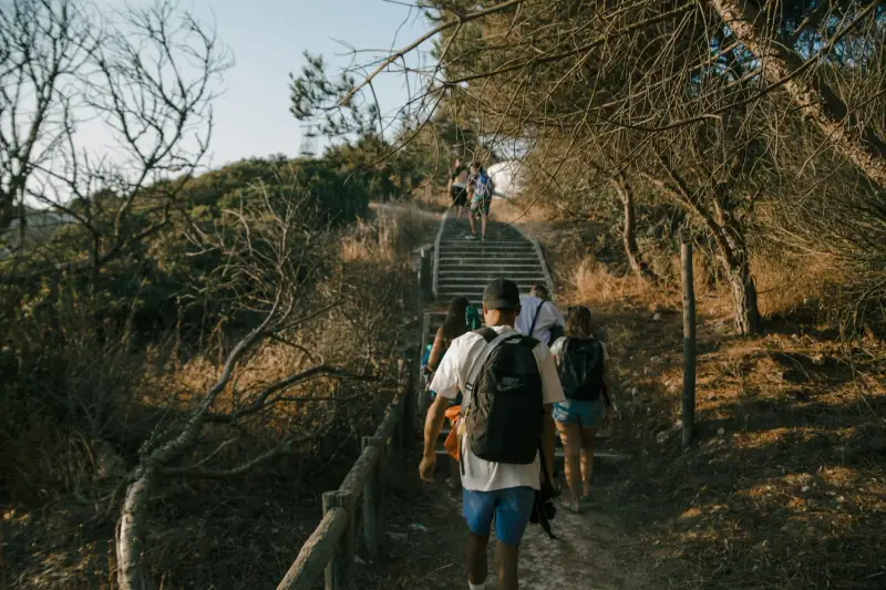
Hiking the Camí de Cavalls in Menorca without an agency: stages, cost, difficulty
Camí de Cavalls (GR 223) on your own: 185 km, 20 stages, free access, rules (dogs, bivouac, fire) and tips to choose your sections without an agency.
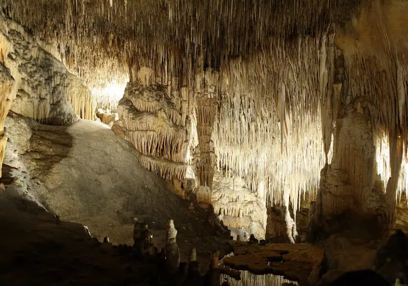
Caves of Drach in Mallorca: book ahead or buy on site?
Cuevas del Drach in Porto Cristo: do you need to book ahead, what hours, what price, which time slot to pick and how to avoid summer crowds.
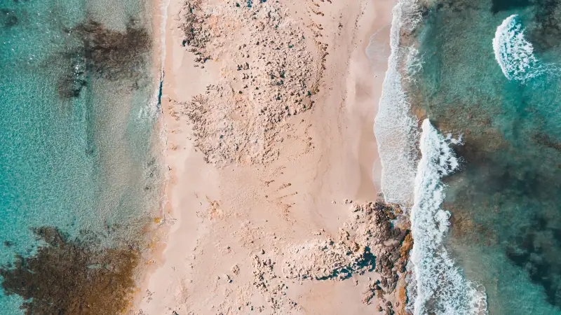
Visiting Formentera: a complete guide to the pearl of the Balearic Islands
Formentera, the smallest Balearic island: Ses Illetes beaches, La Mola plateau, salt flats, Sant Francesc village. A complete guide.
Ready-made
Balearic Islands itineraries
5 days
3 days
Formentera in 3 days: a complete itinerary, beaches and practical tips
Discover Formentera in 3 days: the best beaches, Illetes, La Mola, the salt lagoons. Day-by-day itinerary, transport and places to stay.
7 days
Mallorca in 7 days: a complete itinerary to discover the island
7-day Mallorca itinerary: Palma, Serra de Tramuntana, wild coves, picturesque villages. A practical day-by-day guide for a perfect road trip.