Things to do
Hiking in the Highlands: The Best Trails in Scotland
We may earn a commission when you book through links on this page, at no extra cost to you. We don't visit or try the places we cover: we summarize published sources. How we work
In short
- The Highlands have 282 Munros (peaks over 3,000 ft / 914 m); Ben Nevis, at 1,345 m (4,413 ft), is the highest.
- May to September is the best season; September avoids the midges, and weather can change within hours.
- Scottish law lets you walk almost anywhere, as long as you follow the Scottish Outdoor Access Code.
- Carry waterproofs, layers, at least 1.5 L (about 50 oz) of water, an OS map and compass, and waterproof boots.
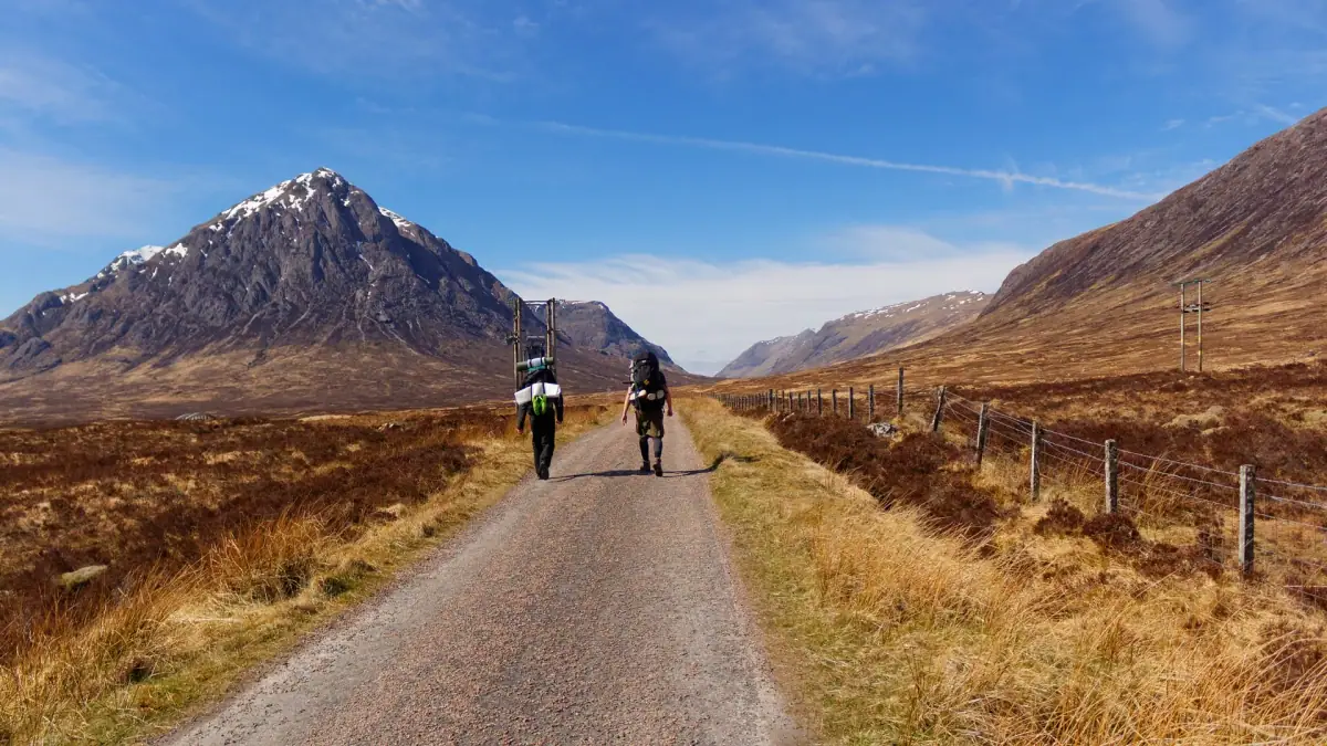
The Scottish Highlands are a hiker’s paradise. With 3,000 km (1,865 mi) of waymarked trails, 282 Munros (peaks over 914 m / 3,000 ft) and one of the most liberal rights of access to nature in Europe, Scotland is a top destination for walkers. Here is a selection of the best hikes, from beginner level to expert challenge.
Before you go: what to know
Scottish weather: unpredictable but manageable
The weather in the Highlands can change radically within a few hours. A sunny morning can turn into a rainstorm in the afternoon. That is not a reason to give up. It is a reason to be well equipped.
Golden rule: Check the mountain weather forecast (Mountain Weather Information Service, MWIS) in the morning. If the forecast is bad for the high ground, choose a valley walk. If it is good, start early.
Essential gear
- Waterproof hiking boots (Gore-Tex): a must, even in summer. The trails are often muddy.
- Rain jacket: keep a light one in your pack at all times
- Layers: thermal base layer + fleece. The wind on the summit can be icy.
- OS (Ordnance Survey) map + compass: paper maps remain the reference, even if you have an app
- Water: at least 1.5 L (about 50 oz). Springs are plentiful, but it is better to filter Highland water.
- Food: energy-rich, and more than you think you need
- Midge repellent from May to September (Smidge, Avon Skin So Soft)
The right of access to nature (Land Reform Act)
In Scotland, you have the right to walk on almost all land (private or public) as long as you respect the Scottish Outdoor Access Code:
- Leave gates as you found them
- Don’t light fires directly on vegetation (use a stove)
- Take your litter with you
- Respect crops and wildlife
- During the hunting season (August to October), some areas are temporarily closed, and signs say so
The must-do hikes
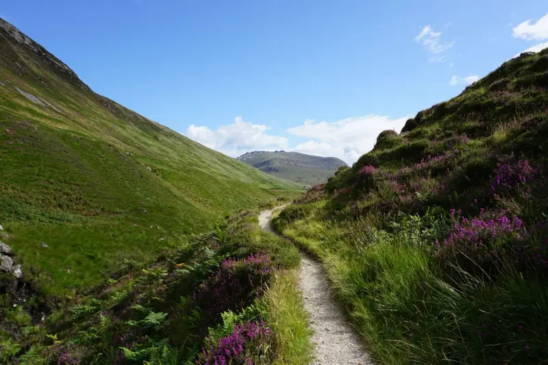
1. Ben Nevis: the royal mountain (Hard)
Distance: 17 km (10.5 mi) round trip | Elevation gain: 1,350 m (4,430 ft) | Time: 6 to 8 hr | Difficulty: ⭐⭐⭐⭐
Ben Nevis (1,345 m / 4,413 ft) is the highest peak in the British Isles. Climbing “the Ben” is an unforgettable experience, even if the summit is often in the clouds.
By the Mountain Track (Pony Track): The busiest path. From the Ben Nevis Visitor Centre (Glen Nevis), the trail climbs in zigzags to the Lochan Meall an t-Suidhe pass, then makes a long climb to the summit plateau. At the top: the ruins of a Victorian observatory, a giant cairn and (if luck is on your side) views as far as the Hebrides.
Important: Don’t underestimate Ben Nevis. Every year, dozens of people need to be rescued because they are not equipped for the conditions. Even in summer, the temperature on the summit can be close to 0 °C (32 °F) with wind.
2. Quiraing (Isle of Skye): the lunar landscape (Moderate)
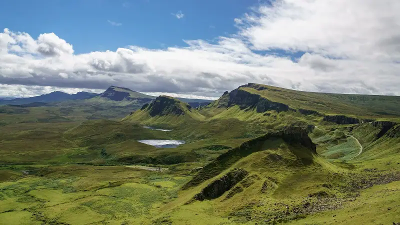
Distance: 6.5 km (4 mi) loop | Elevation gain: 400 m (1,310 ft) | Time: 3 to 4 hr | Difficulty: ⭐⭐⭐
The Quiraing is one of the most spectacular hikes in the United Kingdom. This giant landslip on the Trotternish peninsula created a landscape of pinnacles, rock tables and otherworldly ridges.
The trail: From the parking lot on the B855 (note that you pay for parking in high season), the path follows the ridge on the left and drops into the heart of the rock formations. The view from the main ridge takes in the Outer Hebrides in clear weather.
Tip: Start early in the morning (7 to 8 am) to avoid the crowds. The morning mists often clear by late morning, revealing the landscape in all its glory.
3. Glencoe: Devil’s Staircase and the Three Sisters (Moderate to hard)
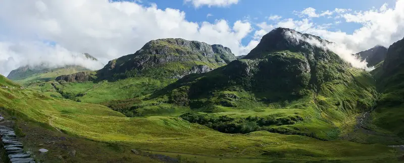
Distance: 12 to 18 km (7 to 11 mi) depending on the variant | Time: 5 to 7 hr | Difficulty: ⭐⭐⭐⭐
The Glencoe valley offers several magnificent hikes:
The Three Sisters: A front view of the three imposing spurs that tower over the valley. A steep but non-technical climb, rewarded with views of the A82 below.
Devil’s Staircase (West Highland Way): A stretch of the famous West Highland Way that climbs from Kinlochleven to a pass at 548 m (1,800 ft) with an outstanding view of the southern Highlands.
Aonach Eagach (advanced only): The ridge running along the north of the valley is classed as a “ridge walk,” a hike with non-technical scrambling sections. The view is spectacular, but it is only for experienced hikers.
4. Ben A’an and Loch Katrine: the Trossachs (Easy)
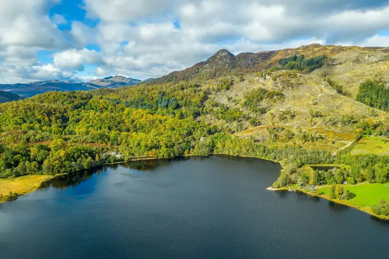
Distance: 5 km (3 mi) round trip | Elevation gain: 300 m (985 ft) | Time: 2 to 3 hr | Difficulty: ⭐⭐
Perfect for beginners or for warming up your muscles. Ben A’an (454 m / 1,490 ft) in the Trossachs National Park offers a panoramic view of Loch Katrine and the surrounding hills. Well-marked trail, steady climb.
Combine it with a cruise on Loch Katrine aboard the SS Sir Walter Scott (a steamship from 1900) for a full day.
5. Torridon: Beinn Eighe and Liathach (Hard to expert)
Distance: 10 to 14 km (6 to 9 mi) | Time: 6 to 8 hr | Difficulty: ⭐⭐⭐⭐⭐
Torridon is the wildest and most spectacular hiking area in Scotland. Its red sandstone and white quartzite mountains are among the oldest in Europe.
Beinn Eighe has the first waymarked mountain trail in Scotland. The mountain trail loop (9 km / 5.6 mi) climbs through blocks of white quartzite for dizzying views.
Liathach is one of the most impressive mountains in Scotland. Its main ridge with its rocky pinnacles is reserved for experienced hikers. The classic ascent (non-technical) by the southeast flank is still demanding.
6. Cape Wrath Trail and West Highland Way (Multi-day)
West Highland Way: The most popular long-distance trail in Scotland. 154 km (96 mi) from Milngavie (north of Glasgow) to Fort William, crossing the Trossachs, Rannoch Moor and Glencoe. Time: 7 to 9 days.
Cape Wrath Trail: The hardest wilderness hike in Scotland. 370 km (230 mi) from Fort William to Cape Wrath (the northwest tip of Great Britain), across moorland wastes with no marked path. For experienced, well-equipped hikers. Time: 14 to 20 days.
Wildlife to spot while hiking
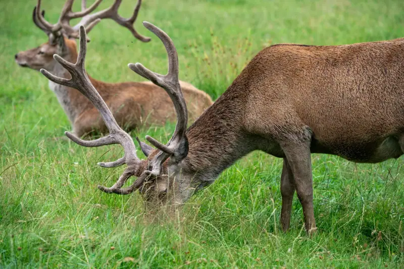
The Highlands are home to exceptional wildlife. While hiking, you have a good chance of seeing:
- Golden eagles: soar over the moors across the Highlands. Reintroduction projects have made them more common.
- Red deer: by the thousands in the Highlands. The herds are easy to see from October to March.
- Otters: on the shores of lochs and rivers. Skye and the coastal lochs of the northwest are the best spots.
- Seals: along nearly all of Scotland’s coasts
- White-tailed eagles: reintroduced in the 1970s and 1980s, they are increasing. Skye, Mull and the north are the best spots.
- Grouse: ptarmigan and black grouse live on the heather moors
Places to stay near the Highlands
B&B, lodges and huts for your hikes.
Resources and apps
- Walkhighlands.co.uk: the bible of Scottish hiking, with thousands of route pages and walkers’ reviews
- OS Maps (app): detailed Ordnance Survey maps, essential off the marked trails
- Mountain Weather Information Service (MWIS): mountain-specific weather forecasts
- Harvey Maps: paper maps specialized for high mountain areas
To explore the hikes on the Isle of Skye specifically, see our guide to the Isle of Skye. To plan your road trip around the hikes, our Scotland road trip guide will give you the best bases to start from.
Frequently asked questions
What is a Munro in Scotland?
A Munro is a Scottish peak over 3,000 feet (914 meters). There are 282 in Scotland. "Munro bagging" (collecting Munros) is a popular pastime, and several thousand people have climbed all 282. Ben Nevis is the highest Munro at 1,345 m (4,413 ft).
Do you need a guide to hike in the Highlands?
No, most of the hikes described in this article can be done without a guide. However, for Ben Nevis by the ridges (unofficial routes), the Cuillin of Skye or in winter, a guide is strongly recommended.
When is the best season for hiking in the Highlands?
May to September is the best period. July and August have the longest days but also the midges (biting gnats). September is ideal: no midges, fall colors, often stable weather. Avoid the Highlands in winter without mountain equipment and experience.
Can you hike freely in Scotland?
Yes. The Land Reform Act (2003) gives everyone the right to walk on almost any land in Scotland, provided they behave responsibly. It is one of the most liberal laws in Europe on access to nature.
What should you carry in your backpack for hiking in the Highlands?
The essentials: waterproof jacket and layers (the weather changes fast), water (1.5 L / about 50 oz minimum), food, OS map and compass, waterproof hiking boots, emergency blanket, charged phone, sunscreen. Fog can come down within minutes.
More Scotland guides
Keep reading
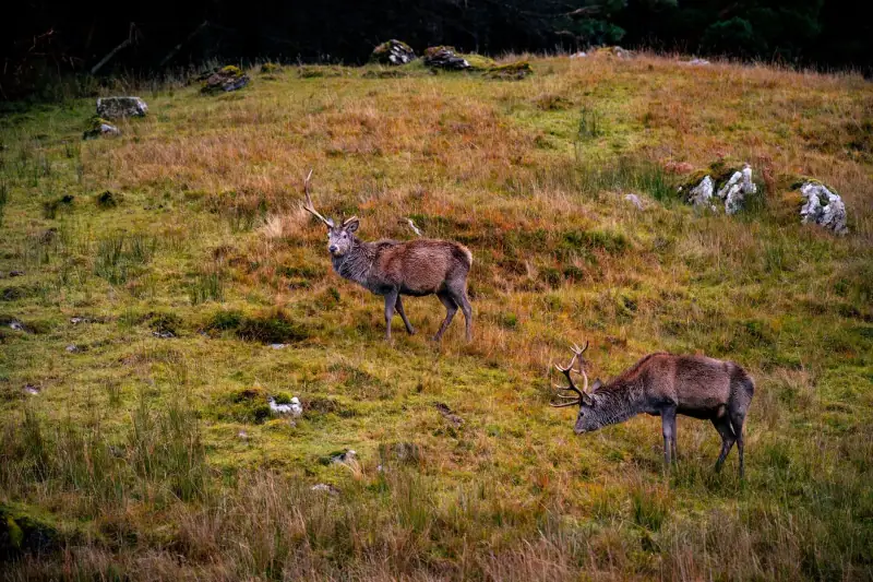
Wildlife in Scotland: Where to See Eagles, Dolphins and Red Deer
Guide to wildlife watching in Scotland: golden eagles, sea eagles, Moray Firth dolphins, red deer, otters, puffins and seals, with the best spots and seasons.
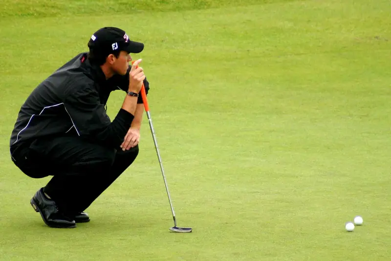
Golf in Scotland: Playing St Andrews and the Best Courses
Guide to playing golf in Scotland: St Andrews, Royal Troon, Carnoustie, Muirfield. Booking, green fees, tips and golf itineraries.
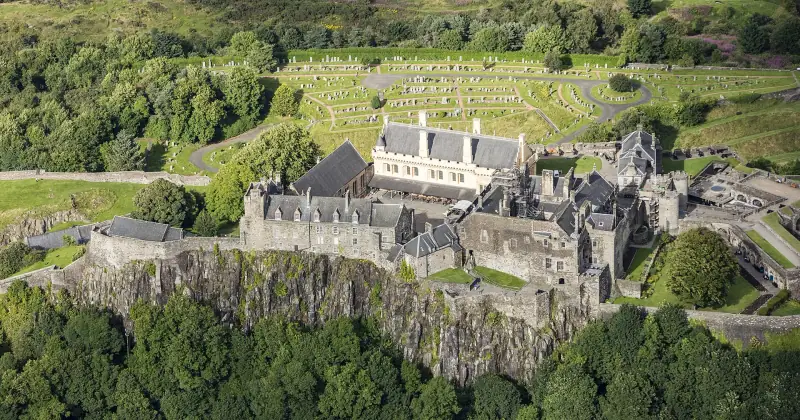
Scotland travel budget: how much to plan for your trip
Estimate your Scotland travel budget: accommodation, transport, meals, activities. Tips to travel for less without sacrificing the experience.
Ready-made
Scotland itineraries
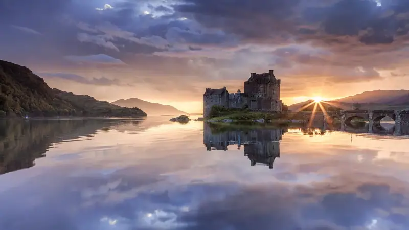
7 days
Scotland in 7 days: the perfect one-week itinerary
EdinburghFort WilliamInvernessPortree
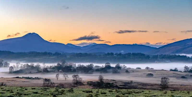
14 days
Scotland road trip: the complete 2-week guide
Plan a 14-day Scotland road trip: full itinerary from the Lowlands to the far north, with logistics, places to stay and sights.
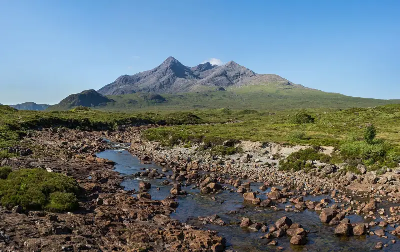
6 days
Scotland road trip in October: 6-day itinerary, roads and daylight hours
PitlochryInvernessPortreeFort William