What to see
Tre Cime di Lavaredo: The Ultimate Guide to the Symbol of the Dolomites
We may earn a commission when you book through links on this page, at no extra cost to you. We don't visit or try the places we cover: we summarize published sources. How we work
In short
- The Tre Cime loop is about 10 km (6 mi), 3 to 4 hours, with 400 m (1,310 ft) of climbing, starting at the Rifugio Auronzo (2,333 m / 7,654 ft).
- The toll road from Misurina costs €40 (~$46) per car in 2026 (valid 12 h), with a required online reservation; shuttles also need booking.
- Arrive before 7:30 am in summer to avoid the crowds; the road usually opens from late May to late October depending on snow.
- Huts such as Auronzo, Lavaredo and Locatelli cost €60-85 (~$70-99) a night with half board; book 6-8 weeks ahead in July-August.
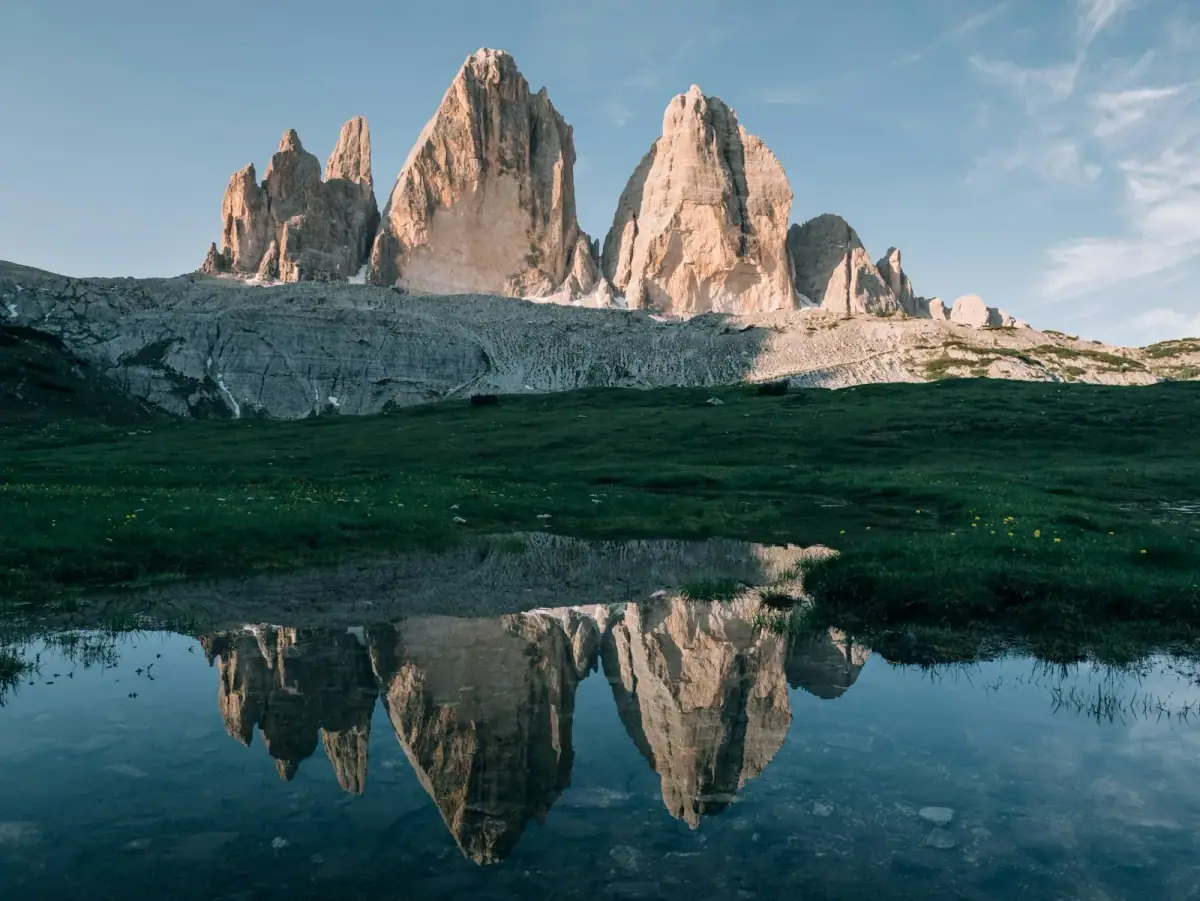
The Tre Cime di Lavaredo (Drei Zinnen in German) are the most emblematic image of the Dolomites, and one of the most recognizable in the entire Alpine arc. These three vertical rock towers, the Cima Grande (2,999 m / 9,839 ft), the Cima Ovest (2,973 m / 9,754 ft) and the Cima Piccola (2,857 m / 9,373 ft), rise above the Sexten (Sesto) Dolomites like petrified giants. They have been photographed millions of times, painted since the 19th century, climbed by the world’s greatest mountaineers, and walked every summer by hundreds of thousands of hikers.
But knowing the Tre Cime is not enough: you need to prepare well so that bad timing, a missed parking spot or a poorly planned route doesn’t spoil the experience.
Where they are
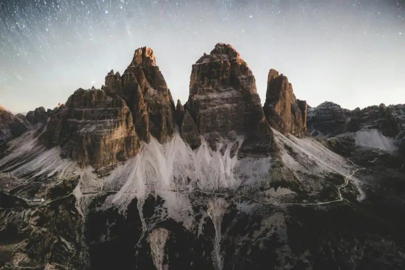
The Tre Cime are in the Sexten (Sesto) Dolomites, on the border between Veneto and South Tyrol, in the Tre Cime Nature Park (Naturpark Drei Zinnen). The site is about 25 km (16 mi) from Cortina d’Ampezzo and 38 km (24 mi) from San Candido.
GPS coordinates of the Rifugio Auronzo parking lot: 46.618°N, 12.300°E
Access from the main towns:
- Cortina d’Ampezzo: 25 km (16 mi), 40 min
- San Candido (Innichen): 38 km (24 mi), 55 min
- Bolzano: 130 km (81 mi), 2 h
- Venice: 180 km (112 mi), 2 h 30
How to get to the Tre Cime
The private road from Misurina
The classic access is from Misurina (1,756 m / 5,760 ft) on the SS48bis, a private toll road that climbs to the Rifugio Auronzo parking lot (2,333 m / 7,654 ft). The road is about 6 km (3.7 mi) long and climbs about 560 meters (1,837 ft).
2026 rates (check before you go):
- Car: €40 (~$46) (online reservation required, valid 12 h from the reserved time)
- Motorcycle: €26 (~$30)
- Bicycle: free
- On foot: free
Hours: The road is open in the summer season, generally from late May to late October depending on snow and weather. Your 12 h window is set when you book.
The shuttle from Misurina (high season)
The Rifugio Auronzo parking lot is often full in high season. A Dolomitibus shuttle from Misurina (and line 444 from Dobbiaco) lets you go up without a car; it must be booked in advance. Check dates and fares with the operators before your visit.
The Tre Cime loop hike
Fact sheet
| Parameter | Value |
|---|---|
| Distance | 10 km (6 mi) |
| Duration | 3 to 4 hours of walking |
| Elevation gain | 400 m (1,310 ft) |
| Starting altitude | 2,333 m (7,654 ft) (Rifugio Auronzo) |
| Max altitude | 2,450 m (8,038 ft) |
| Difficulty | Easy to moderate |
| Trail marking | Trail no. 101/105 |
The route step by step
1. Rifugio Auronzo → Forcella Lavaredo pass (45 min)
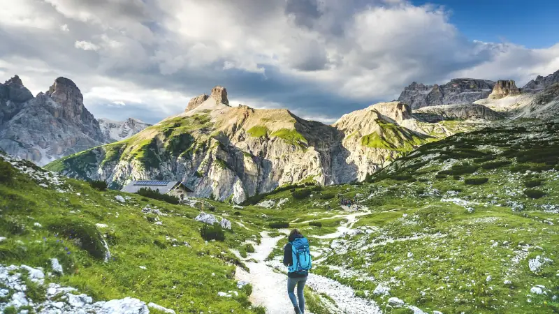
From the parking lot, take trail no. 101 heading east. The climb is gradual up to the Forcella Lavaredo pass (2,454 m / 8,051 ft), where you get the first view of the Tre Cime from the south. This is the classic postcard angle.
2. Forcella Lavaredo → Rifugio Locatelli (1 h)
Continue north on trail no. 101. You go around the Tre Cime by their north face, the most spectacular: the vertical walls, 500 meters (1,640 ft) high, tower above you. The Rifugio Locatelli (2,405 m / 7,890 ft) is an excellent place for a break.
3. Rifugio Locatelli → Forcella Col di Mezzo (30 min)
From the Locatelli, take trail no. 105 toward the Forcella Col di Mezzo (about 2,315 m / 7,595 ft), passing the Malga Langalm. You get a view of the Sorapiss, the Cristallo and the Cadini di Misurina.
4. Back to the Rifugio Auronzo (45 min)
A gentle descent on trail no. 101 to the Rifugio Auronzo, closing the loop.
Variations and extensions
Alpini Trail and Monte Paterno: For experienced hikers, this high-altitude variant offers an even grander view, with cable-protected sections. Allow 2 extra hours.
Walk to Lake Antorno: From Misurina, a short 20-minute walk leads to this lake with the emblematic view of the Tre Cime in the background. Ideal for photographers at sunrise.
Guided tours to the Tre Cime di Lavaredo
Group excursions with a guide from Cortina or Bolzano.
The best light and the best moments
Sunrise (5-7 am)
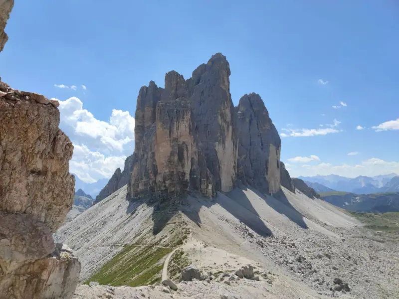
Sunrise over the Tre Cime is one of the most moving experiences in the Dolomites. The north faces light up gradually in shades of pink, orange and gold in the enrosadira. To enjoy this show, spend the night at the Rifugio Auronzo the night before and get up at 5 am.
Sunset (7-9 pm in summer)
Sunset on the south slopes is just as spectacular, especially from the Forcella Lavaredo. But bring a headlamp to walk back down in the dark.
The best times to avoid the crowds
- Very early in the morning (before 7:30 am): the parking lots are still accessible and the trails are empty
- Weekdays in July-August: less crowded than weekends
- June and September: fewer people, beautiful light, a calmer atmosphere
Huts at the Tre Cime
To compare Misurina, Auronzo and Dobbiaco as bases, read where to stay for the Tre Cime di Lavaredo.
Rifugio Auronzo (2,333 m / 7,654 ft)
The largest and most accessible, right at the parking lot. Restaurant open all day, dorms and rooms. A night with half board: €65-85 (~$75-99).
Rifugio Lavaredo (2,344 m / 7,690 ft)
A 20-minute walk from the Rifugio Auronzo, more intimate. Head-on view of the walls. Quality local cooking. A night: €60-75 (~$70-87).
Rifugio Locatelli, Drei Zinnen Hütte (2,405 m / 7,890 ft)
At the foot of the north face, facing the vertical walls of the Tre Cime. The most dramatic location of the three huts. Restaurant and dorms. A night with half board: €70-85 (~$81-99).
Important: Book at least 6-8 weeks ahead in July-August. These huts fill up very quickly.
The best photo spots
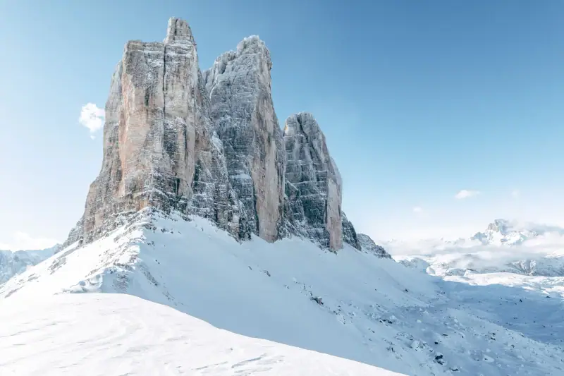
- Lake Antorno (from Misurina): The classic view of the lake with the Tre Cime mirrored in it, ideal at sunrise
- Forcella Lavaredo pass: Head-on view from the south
- North face (trail no. 101): The most spectacular view, with the walls rising vertically
- Rifugio Locatelli: Overview of the three towers from the east
- Forcella Col di Mezzo: An isolated view with fewer people than the other spots
Frequently asked questions
How long does it take to hike around the Tre Cime?
The full Tre Cime loop (trails no. 101 and 105) is about 10 km (6 mi) and takes 3 to 4 hours of walking. Allow 3 h for a fast walker and 5 h 30 for a family with young children, with photo stops.
Do you have to pay to access the Tre Cime?
Yes. The private road from Misurina is a toll road: €40 (~$46) per car in 2026 (valid 12 h), with a required online reservation before you drive up. Shuttles also need to be booked in advance. Check the access conditions on the official site before your visit.
What is the best time of day to visit the Tre Cime?
Arrive at the parking lot before 7:30 am in summer to avoid the crowds. Sunrise (5-6 am) gives extraordinary light on the orange walls. Alternatively, stay at the Rifugio Auronzo for an evening visit and the next morning.
Are the Tre Cime accessible to children?
Yes, the Tre Cime loop is accessible to children from about 8-10 years old who are in good physical shape. The total elevation gain is only 400 m (1,310 ft) and the trails are well marked. Bring snacks and water for the little ones.
Can you visit the Tre Cime without a car?
Yes. Buses and shuttles (Dolomitibus from Misurina and Cortina, line 444 from Dobbiaco) serve the Tre Cime in summer and must be booked in advance. Check dates and schedules with the operators.
More Dolomites guides
Keep reading
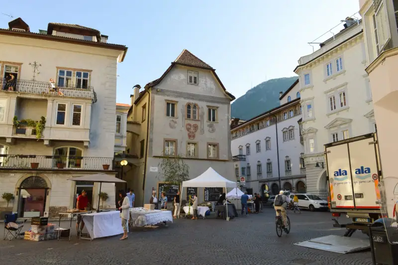
Visiting Bolzano: A Complete Guide to the Capital of South Tyrol
Visiting Bolzano: arcaded old town, Ötzi museum, Runkelstein Castle, Tyrolean food and Dolomites day trips. A complete practical guide.
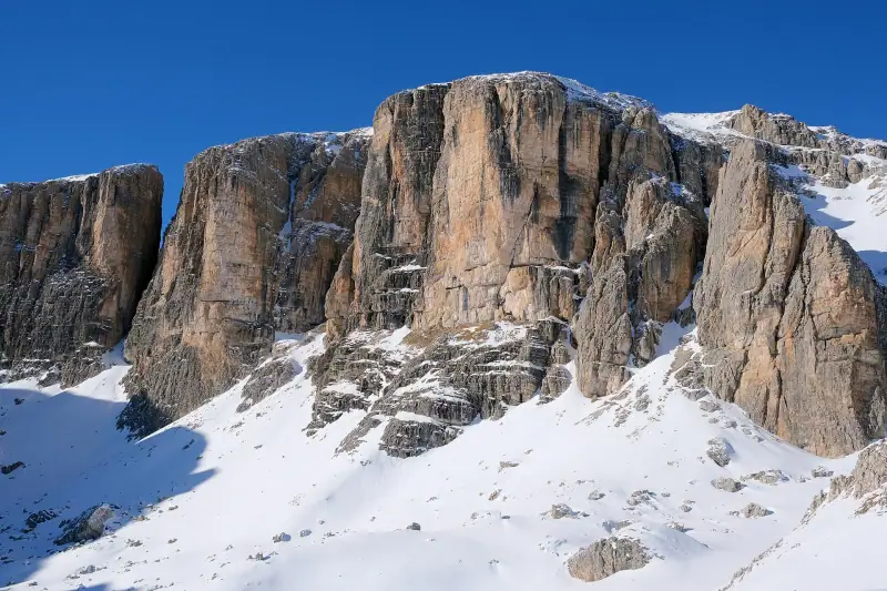
Visiting Alta Badia: A Complete Guide to the Ladin Valley of the Dolomites
Alta Badia: Sellaronda skiing, high-altitude hikes, Michelin-starred dining and Ladin culture. Guide to Corvara, Colfosco and San Cassiano.
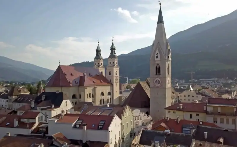
Visiting Bressanone: A Complete Guide to the Pearl of South Tyrol
Visiting Bressanone: Baroque cathedral, arcaded old town, Novacella Abbey, Plose mountain and Christmas market. A complete practical guide.
Ready-made
Dolomites itineraries
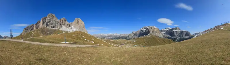
5 days
Dolomites with Kids: 5-Day Family Itinerary
Ortisei (Val Gardena)Cortina d'Ampezzo
5 days
Dolomites road trip in October: 5-day itinerary and passable roads
OrtiseiCanazeiCortina d'Ampezzo
3 days
Dolomites Weekend: A 3-Day Itinerary
A 3-day Dolomites weekend: Val Gardena, Tre Cime di Lavaredo and Alta Badia. Itinerary, lodging, budget and practical tips.