Things to do
Hiking in Croatia: the best trails from Velebit to Dubrovnik
We may earn a commission when you book through links on this page, at no extra cost to you. We don't visit or try the places we cover: we summarize published sources. How we work
In short
- Croatia has more than 10,000 km (6,214 mi) of marked trails; April-June and September-October are the best months, with 18-25 °C (64-77 °F).
- Main areas: Velebit (Premužićeva staza, 57 km / 35 mi, 5-7 days), Paklenica gorges, Biokovo above Makarska, Medvednica near Zagreb and island summits such as Vidova Gora on Brač.
- Carry at least 2 liters of water per person: many mountain trails have no water point. Never leave marked trails in areas with MINE warning signs.
- A car is the most practical way to reach trailheads; public transport serves the big coastal cities but not the remote Velebit or Biokovo starts.
Croatia is not only a destination of beaches and islands. Behind the Adriatic facade lies a hinterland of limestone cliffs, high-altitude forests, spectacular gorges and ridges offering breathtaking views of the sea. The country has a network of more than 10,000 kilometers (6,214 mi) of marked trails, largely unknown to tourists, that cross some of the wildest landscapes in Southern Europe.
Whether you want a family walk by the lakes or a committing traverse of the high Velebit ridges, here is the complete guide to hiking in Croatia.
The main hiking areas in Croatia
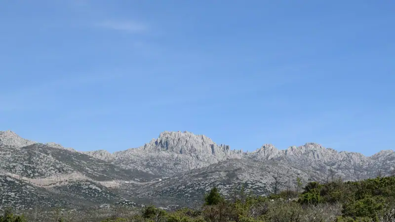
Velebit: Croatia’s wild mountain
The Velebit massif is the backbone of Croatia. This 145 km (90 mi) range runs along the Dalmatian coast from north to south, peaking at 1,757 m (5,764 ft) (Vaganski Vrh), and offers high-altitude hiking just a few kilometers from the Adriatic Sea.
What makes Velebit unique:
- Striking contrast between the wooded slopes on the continental side and the limestone karst on the sea side
- Panoramic views of the Kvarner islands (Krk, Rab, Pag) and as far as Italy in clear weather
- Remarkable wildlife: brown bears, wolves, chamois, lynx
- The Premužićeva staza route (57 km / 35 mi, 5-7 days), one of the most beautiful on the Balkan peninsula
Access: From Karlobag or Starigrad-Paklenica on the coast; several starting points by car.
Accommodation: Mountain huts (planinarski dom) run by local alpine clubs; booking advised in summer.
Base for Velebit
Hotels in Starigrad-Paklenica or Zadar, quick access to the trails.
Paklenica: the gorge for climbers and hikers
Paklenica National Park comprises two spectacular limestone gorges, Velika Paklenica (large) and Mala Paklenica (small), cut into the white limestone of the southern Velebit massif. It is one of Croatia’s most popular outdoor destinations.
Paklenica’s emblematic trails:
Manita Peć (difficulty: medium, 3 h 30 round trip) The trail climbs from the bottom of the gorge to the Manita Peć cave (614 m / 2,014 ft), with stunning views of the white cliffs. The cave is visited with a guide, in limited time slots depending on the season, for a supplement of about €5 (~$6) on top of the park ticket.
Vaganski Vrh, Paklenica’s highest point (difficulty: hard, 6-8 h round trip) The ascent of the highest point of the southern Velebit from the bottom of the gorge. Significant elevation gain (+1,300 m / 4,265 ft), rocky trail at altitude, reserved for experienced hikers.
Velika Paklenica, gorge-bottom trail (difficulty: easy, 2 h round trip) Ideal for families. The trail follows the torrent in the gorge, surrounded by cliffs 400 m (1,312 ft) high. Magnificent without particular effort.
Practical info:
- Park entry: ~€12 (~$14) per adult in high season
- Hiking shoes are mandatory (the limestone is sharp and slippery)
- No water points on the upper trail; carry 2 L (about 2 quarts) minimum
Biokovo: the ridges above Makarska
The Biokovo massif overlooks the Makarska Riviera from cliffs that drop straight to the sea, at more than 1,700 m (5,577 ft) of altitude. Biokovo Nature Park offers views of the Adriatic Sea, Italy and the Bosnian summits stretching to infinity.
Biokovo’s essentials:
Sveti Jure (1,762 m / 5,781 ft), the highest point Reachable by road from Makarska (park road, paid park entry: €10 to €15 / ~$12-17 per person depending on the season) or on foot from Makarska in a 5-7 h ascent. The road winds to the summit with dizzying viewpoints. A Way of the Cross links the stations and adds a cultural dimension to the route.
Biokovo ridge trail (hard, 2 days) The traverse of the Biokovo ridges from north to south, with a bivouac at the Vošac hut (1,416 m / 4,646 ft). A moonlike karst landscape, endemic flora and an exceptional panorama over Split, Brač and Hvar.
Biokovo botanical garden (Botanički vrt Biokovo) An easy 2 h circuit at 1,400 m (4,593 ft) of altitude through a natural botanical garden with the 150 plant species endemic to Biokovo. Suitable for children and beginner hikers.
Medvednica: Zagreb’s mountain
Just 20 minutes from the center of Zagreb, the Medvednica massif (1,035 m / 3,396 ft, nature park) offers 70 km (43 mi) of hiking trails. It is a favorite playground of Zagreb residents.
Highlights:
- Sljeme (1,035 m / 3,396 ft): reachable by tram + gondola from Zagreb, or on foot in 3 h. Restaurant at the summit. View over the plains of Slavonia.
- Medvedgrad Castle: a 13th-century medieval fortress on the slopes, 40 min on foot from the last bus stop.
- Veternica caves: 7 km (4.3 mi) of galleries (guided tour), reachable from the hiking trail.
Perfect for fitting a half day of hiking into a visit to Zagreb, with no car needed.
The islands: hiking with sea views
Several Dalmatian islands offer remarkable hikes, often overlooked because they are associated only with beaches.
Brač: Vidova Gora (778 m / 2,552 ft) The highest summit of all the Adriatic islands. The climb from Bol (famous for its Zlatni Rat beach) takes 3 h and offers a 360° view over the sea, Hvar, the Dalmatian coast and as far as Italy in clear weather. Well-marked trail, moderate difficulty.
Hvar: Sv. Nikola (628 m / 2,060 ft) The island’s highest point, reachable from Hvar Town in 4 h round trip. Lavender, pines and scrubland to the summit, an immersion in the Mediterranean vegetation typical of the island.
Mljet: national park trails The greenest island in Dalmatia has two saltwater lakes linked to the sea (the Great Lake and the Small Lake). The circuit of the two lakes (10 km / 6 mi, 3 h, easy) and the visit to St. Mary’s Island in the middle of the Great Lake are the highlights.
Multi-day routes
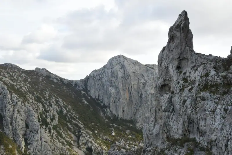
Premužićeva Staza (57 km / 35 mi, 5-7 days)
Croatia’s most famous hiking route. Built in the 1930s by the engineer Ante Premužić, this trail crosses northern Velebit over 57 km (35 mi) with limited cumulative elevation gain (designed to be doable without great technical experience).
Features:
- Start: Zavižan (1,594 m / 5,230 ft, reachable by car)
- Finish: Baške Oštarije
- Accommodation: 5 huts spread along the route (booking essential in July-August)
- Difficulty: moderate, no technical passages, but days of 10-12 km (6-7.5 mi) on exposed terrain
The trail combines karst landscapes, black pine forests and infinite horizons over the sea. It is probably the most spectacular hike in the Balkans accessible to the general public.
Crossing the island of Hvar (40 km / 25 mi, 3 days)
A coast-to-coast route, from Stari Grad to Sućuraj, crossing the island’s interior along the ridges. Most tourists who visit Hvar never leave the coast; this crossing reveals the farming villages of the interior, the vines and olive groves, and views of both seas (north side over the Hvar channel, south side over the open sea).
Organization: Simple logistics, with villages offering B&B or small-hotel accommodation along the route.
Accommodation on the island of Hvar
Hotels and apartments for your island crossing.
When to hike in Croatia
| Period | Conditions | Recommended for |
|---|---|---|
| March - May | Cool, green vegetation, few people | All massifs, ideal for flowers |
| June | Hot but pleasant at altitude | Velebit, Biokovo, islands |
| July - August | Very hot on the coast, acceptable at altitude | High mountain only |
| September - October | Excellent: mild heat, fall light | Everywhere, ideal season |
| November - February | Cool to cold, snow on the massifs | Medvednica, short coastal outings |
The main hiking season in Croatia runs from mid-April to the end of October. September is the best month: summer crowds gone, ideal temperatures (20-28 °C / 68-82 °F), sea still warm to finish the hike with a swim.
Practical tips
Water and supplies
Croatian limestone karst is permeable: rainwater seeps straight into the ground and reappears as springs only in the valleys. As a result, many high-altitude trails have no water point. The golden rule is to carry at least 2 liters per person for any outing over 2 h.
Mountain huts (planinarski dom) prepare simple meals and sell drinks. Hours are often limited to high season, so call ahead to make sure they are open.
Trail marking and maps
Croatian trail marking uses the standard European system (a red circle on a white background). 1:25,000 topographic maps are available in the tourist offices of the big cities. The Mapy.cz or OutdoorActive apps cover Croatian trails well outside the national parks.
Land mines
This is a little-known reality: some areas of Velebit and the inland Dalmatian coast are still in regions that were combat zones during the Balkan war of the 1990s. The official marked trails have been cleared and secured. Never leave marked trails in areas flagged by danger signs (MINE/MINSKA OPASNOST). This rule applies mainly to areas of northern Velebit, Lika and certain parts of the Bosnian border. The national parks (Paklenica, Plitvice, Biokovo) are fully secured.
Logistics and transport
A car is the most practical way to reach the hiking areas. Public transport serves the large coastal cities (Split, Zadar, Dubrovnik) but not the starting points of the isolated Velebit or Biokovo trails. For the islands, the ferry from Split or Zadar is the standard solution.
Recommended equipment
The essential minimum:
- Hiking shoes with a good sole (worn, slippery limestone does not forgive smooth soles)
- Two liters of water per person
- Sunscreen and a hat (white limestone reflects strongly)
- A light windbreaker (ridges can be exposed even in summer)
- A headlamp (if you are in the mountains and the return runs long)
For committing routes:
- Walking poles (help on rocky descents)
- First aid kit
- GPS or topographic map
- Emergency blanket
Croatia’s large cities (Split, Zagreb, Zadar) have sports stores (Intersport, Sportina) where you can complete your equipment there.
Hiking and food
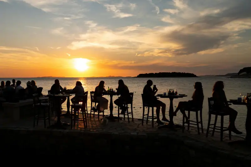
Hiking culture in Croatia is inseparable from the pleasure of the table. Mountain huts often serve simple but tasty local dishes: pršut (dried Dalmatian ham), Paški Sir sheep’s cheese, grilled meats, peka (meats and vegetables cooked under embers). After a long day of walking, it is a well-deserved reward.
On coastal routes, the villages at the end offer konoba (family taverns) where fresh seafood and a glass of local wine (the red Plavac Mali of Dalmatia or the white Pošip) serve as a royal reward.
To learn more about the culinary specialties waiting for you at the end of the trail, see our guide to Croatian food.
Further reading
If you are planning your trip, see our Plitvice Lakes hiking guide for the park’s specific trails, as well as our article on diving in Croatia to combine both disciplines on the coast. To organize your stay around hiking, also see our road trip in Croatia, which includes several trailheads.
Croatia is a hiking destination in its own right: demanding, spectacular and still largely spared from mass tourism. The maps are less worn than in the Alps, the huts less crowded, and the panoramas, especially when the sea is visible at your feet, remain among the most striking in Europe.
Frequently asked questions
What is the best time to hike in Croatia?
April-June and September-October are ideal: pleasant temperatures (18-25 °C / 64-77 °F), green vegetation and quiet trails. Summer (July-August) is possible at altitude but exhausting on the coast. Avoid winter on the Velebit massifs, often snowy and dangerous.
Do you need special equipment to hike in Croatia?
Hiking shoes with stiff soles and good ankle support, plenty of water (no guaranteed spring on many trails), a hat and sunscreen, and a light rain jacket. A GPS or a local topographic map is recommended for the isolated Velebit routes.
Are Croatian trails well marked?
Most official trails use the standard white/red markings (a white circle with a red dot in the middle) maintained by the HPS (Hrvatski planinarski savez, the Croatian Mountaineering Association). Marking is generally reliable in national parks and more variable in remote areas of Velebit.
Is hiking suitable for families in Croatia?
Yes, if you choose suitable trails. The paths around Plitvice Lakes (flat, wide and secured), the coastal walks on the island of Brač or the first kilometers of the Paklenica gorge suit families with children perfectly.
Can you hike alone in Croatia?
Yes, on marked and busy trails. For isolated Velebit routes (Premužićeva staza, high ridges), however, go with at least one companion, tell your accommodation and carry a topographic map. Some areas of Velebit are still listed as mine zones.
How much does entry to Croatian national parks cost?
Paklenica National Park costs about €10-15 (~$12-17) per adult in high season. Plitvice costs about €10 in winter and up to €40 (~$12-46) from June to September in 2026 (but the difficult hiking trail passes partly outside the paid perimeter). Entry to Biokovo Nature Park is paid (about €10 / ~$12 from April to May and in October, €15 / ~$17 from June to September); check rates on the park website.
More Croatia guides
Keep reading
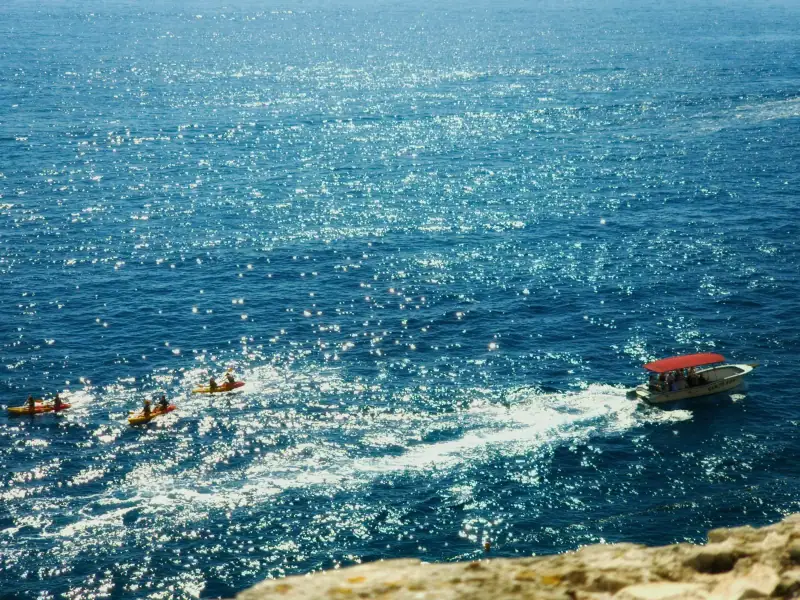
Kayaking in Croatia: the best tours and routes
Guide to kayaking in Croatia: tours from Dubrovnik, Hvar, Split and Rovinj. Sea caves, wild islands and coves reachable only by kayak.
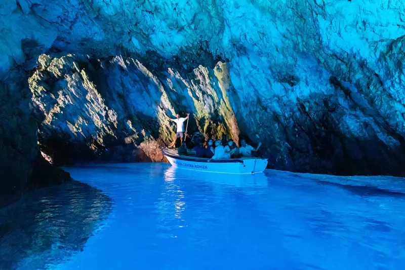
Blue Cave on Biševo: book ahead or on site?
Blue Cave on Biševo, Croatia: ticket €12 to €24 depending on the season, paid on site, tour from Split or Komiža, best time (11 am-1 pm) and when to book.
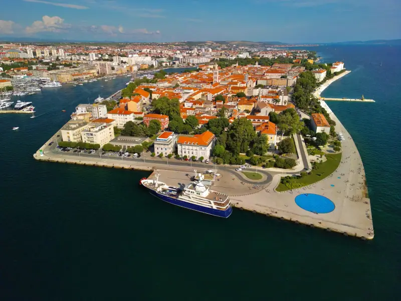
Visiting Zadar: complete guide to the Dalmatian city
Complete guide to visiting Zadar: Sea Organ, Roman old town, beaches, Kornati and Paklenica excursions. Everything for a successful stay in Dalmatia.
Ready-made
Croatia itineraries
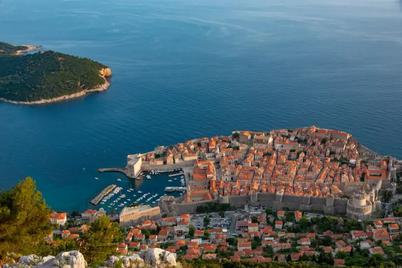
Croatia road trip: the coastal route from Zagreb to Dubrovnik
The ultimate Croatian coastal road trip from Zagreb to Dubrovnik via Split, Zadar and the national parks. 10-14 day route with stops and tips.
7 days
Croatia in 7 days: the perfect one-week itinerary
Detailed itinerary to visit Croatia in 7 days: Split, the Dalmatian islands, Dubrovnik and Plitvice. Day-by-day plan with practical tips.
10 days
Croatia in 10 days without a car: a realistic bus and ferry itinerary
ZagrebZadarSplitHvar TownDubrovnik