Things to do
Hiking on Santo Antão: the best trails in Cape Verde
We may earn a commission when you book through links on this page, at no extra cost to you. We don't visit or try the places we cover: we summarize published sources. How we work
In short
- Santo Antão has trails for every level: the lower Paul Valley is easy to moderate, while the Cova to Ribeira Grande ridge (20 km / 12 mi) and Ponta do Sol are hard.
- The best season is November to May. Start ridge hikes before 8 am for the best chance of clear views.
- Plan 3-4 days minimum for the main hikes. A local guide costs about €30-60 (about $35-70) per day.
- The ferry from Mindelo to Porto Novo takes about 1 hour and costs roughly €8-12 (about $9-14).
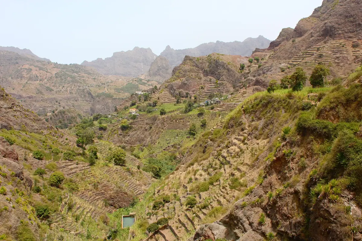
Santo Antão is often described as the most spectacular island in Cape Verde for hiking. The scenery is breathtaking: green valleys growing sugarcane and banana trees, dizzying cliffs plunging into the Atlantic, cloudy ridges offering 360-degree views over the archipelago. This guide lists the best trails on the island with all the practical information.
Why Santo Antão is unique for hiking
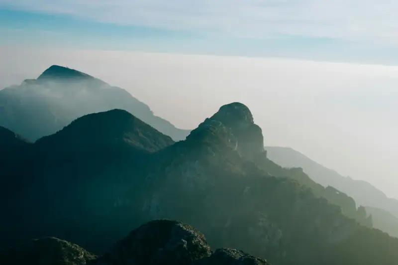
Santo Antão stands apart from all the other islands of Cape Verde for its exceptional terrain. The second-largest island in the archipelago (779 km² / 301 sq mi), it peaks at 1,979 m (6,493 ft) at Topo de Coroa, the second-highest summit in Cape Verde after Pico do Fogo.
What makes the difference:
- Lush, almost tropical vegetation, rare in this semi-arid archipelago
- Striking contrasts between the north slopes (green, cloudy, humid) and the south (arid, rocky)
- Villages perched on pinnacles or clinging to cliffs
- A very lively local culture (grogue production, cheese, terraced farming)
- Trails that have existed for centuries, used by local farmers
Getting there: Santo Antão can only be reached by ferry from Mindelo (São Vicente). This is an advantage, as it limits mass tourism. Hikers who make the effort are rarely disappointed.
The main hikes on Santo Antão
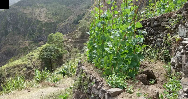
1. Paul Valley: the signature hike
Level: Easy to moderate Duration: 3 to 6 hours depending on the route Elevation change: +/- 400 m (1,310 ft) Distance: 8-15 km (5-9 mi) depending on the variant
The Paul Valley hike is the island’s most famous and often the first one visitors do. It starts from the town of Paul, reachable from Porto Novo by aluguer (30 min).
The route: The valley stretches for several kilometers, hemmed in by impressive cliffs. You walk up the path following the stream (when it flows) among fields of sugarcane, banana trees, papaya trees and coffee plants. The trail passes several small-scale stills where grogue (the local sugarcane spirit) is made.
Highlights:
- A traditional grogue distillery: the owners generally let hikers visit and taste
- Natural springs in the vegetation
- Viewpoints over the valley from the upper flats
- The perched village of Eito at the top of the valley
Return: By aluguer from the bottom of the valley, or on foot the same way.
What you will see: Farmers working their terraced plots, women carrying loads on their heads, children playing in front of colorful houses. Cape Verdean rural life in all its authenticity.
2. Cova to Ribeira Grande: the big ridge crossing
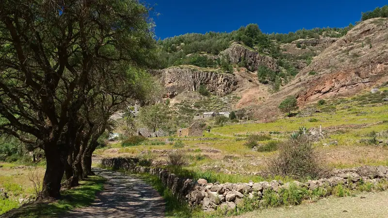
Level: Hard Duration: 6-8 hours Elevation change: +800 m / -1,000 m (+2,625 ft / -3,280 ft) Distance: 20 km (12 mi)
Many hikers consider this the most beautiful hike in all of Cape Verde. It crosses the island from north to south along cloud-covered ridges.
The start: At Cova (1,100 m / 3,610 ft), reachable by car from Porto Novo. The access road is a sight in itself: it winds through lunar landscapes before opening onto a green plateau covered with acacias and wildflowers.
The trail: The path follows the island’s central ridge with sweeping views on both sides: the north slope toward the green valleys, the south slope toward the arid sea. You pass through the Cova caldera, an ancient volcanic depression covered in dense vegetation, then descend gradually toward the north coast.
The finish: At Ribeira Grande, the main town in the north of the island. There are many restaurants, and you can take an aluguer back to Porto Novo.
Watch out: Clouds can hide the views during the day. Start early (before 8 am) for the best chance of clear sky. Bring a light rain jacket, as the ridge can be misty and cool even in the dry season.
3. Pico da Cruz to Cabo da Ribeira: the Atlantic view
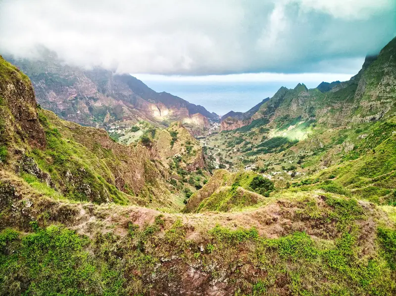
Level: Moderate Duration: 4-5 hours Elevation change: +600 m / -600 m (+1,970 ft / -1,970 ft) Distance: 12 km (7.5 mi)
This north-slope trail offers some of the island’s finest coastal panoramas. You see cliffs dropping vertically into the Atlantic, sea caves and, in clear weather, the neighboring islands.
The route: From Pico da Cruz, the trail descends toward the coast through villages clinging to the cliff. The atmosphere is wild and unspoiled.
4. Ponta do Sol to Cruzinha: the end of the world
Level: Hard Duration: 6-7 hours Elevation change: +900 m / -200 m (+2,950 ft / -655 ft) Distance: 16 km (10 mi) one way
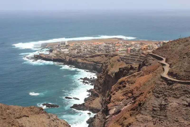
Ponta do Sol sits at the end of the road north of Ribeira Grande, at the foot of the dizzying cliff trail to Fontainhas and Cruzinha. It is also one of the most beautiful villages on the island.
The hike: From Ribeira Grande, the trail follows the coastal cliffs of the island’s north. The view of the Atlantic is constant and breathtaking. The trail is sometimes exposed and calls for good fitness and sure footing.
Ponta do Sol: This village of a few hundred residents is perched between sea and mountain. A few local guesthouses let you spend the night there, a timeless experience.
Return: The same path in reverse, or by aluguer (shared minibus) along the road. Some choose to spend a night in Ponta do Sol and come back the next day.
5. Topo de Coroa: the island’s summit
Level: Hard Duration: 5-7 hours (from the highest road) Elevation change: +700-900 m (+2,300-2,950 ft) depending on the starting point Summit altitude: 1,979 m (6,493 ft)
Climbing Topo de Coroa, the highest point on Santo Antão, is reserved for experienced hikers. The view from the top in clear weather is extraordinary: all the islands in the north of the archipelago are visible.
Conditions: The summit is often in the clouds. The best chances of a clear view are early in the morning from November to March.
How to organize a hiking trip on Santo Antão
Getting there and getting around
From Mindelo: The Mindelo to Porto Novo ferry runs several times a day, 1-hour crossing, €8-12 (about $9-14). Check schedules locally, as they change with the season.
From Porto Novo: A rental car is strongly recommended (€30-50 / about $35-58 per day, few agencies). Or take an aluguer (shared minibuses) serving the main villages on the coast and in the valleys.
Lodging: Plan a base in Ribeira Grande (north of the island) or in Paul (valley). Guesthouses are available at €15-35 (about $17-41) per night.
Gear you need
- Hiking shoes: essential! Trails are often rocky and wet
- Light rain jacket: for misty ridges
- Water: 2 liters (about 2 quarts) minimum per day, more in the hot season
- Sun protection: the sun is deceptive at altitude
- Energy snack: little food is available on the trails
- Topographic map: available at local tourist offices
Guides and local agencies
Local guides are available in the main villages. Rate: €30-60 (about $35-70) for a day of hiking. The Santo Antão Guides and Escorts Association can point you in the right direction.
For hard hikes or if you don’t speak Portuguese or Creole, a guide is highly recommended: the trails are not always obvious, and a local will show you sides of the island an outsider would never see.
Places to stay on Santo Antão
Guesthouses in the hiking villages.
Flora and fauna of Santo Antão
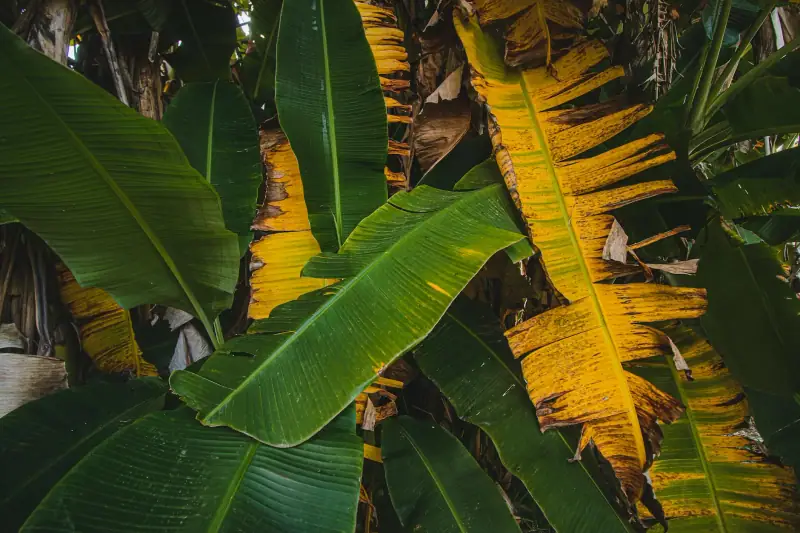
Santo Antão’s vegetation is exceptional for Cape Verde. The north slope, exposed to the humid Atlantic trade winds, supports almost tropical vegetation:
Terraced crops:
- Sugarcane (the base of local grogue)
- Banana trees
- Papaya and mango trees
- Coffee (excellent local production)
- Mixed vegetables (beans, corn, tomatoes)
Natural vegetation:
- Dragon trees (emblematic trees of the Canary Islands and Cape Verde)
- Acacias and kapok trees
- Prickly pear
- Wildflowers at altitude
Wildlife:
- Many endemic birds (Cape Verde shearwater, Fea’s petrel, Cape Verde warbler)
- Octopus and fish in coastal coves
- Endemic lizards
Hiking on Santo Antão is also a cultural and human experience. The trails pass through villages where life follows the age-old rhythm of terraced farming, at altitudes where modern life seems not to have arrived yet. A rare and valuable immersion.
Frequently asked questions
Is hiking on Santo Antão hard?
Santo Antão has trails for every level. Some are easy (lower Paul Valley), others very demanding (Cova ridge, north slope). Altitude can be significant (up to 1,979 m / 6,493 ft at Topo de Coroa). Good fitness is recommended for the ridge hikes.
Do you need a guide to hike on Santo Antão?
No, the main trails are marked and topographic maps exist. But a local guide is strongly recommended for hikes off the main trails, multi-day hikes and a richer cultural experience.
When should you hike on Santo Antão?
The best period is November to May (dry season). Trails are passable, vegetation is green and views are clear. In the rainy season (July-October), trails can be muddy and clouds often hide the panoramas.
How many days should you plan for hiking on Santo Antão?
Plan at least 3-4 days to do the main hikes. A full week lets you explore the different valleys and ridge trails in depth. A 2-day stay lets you do the Paul Valley as a round trip.
How do you get to Santo Antão from Mindelo?
The Mindelo (São Vicente) to Porto Novo (Santo Antão) ferry is the only regular connection. Duration: about 1 hour. Price: around €8-12 (about $9-14); check fares and schedules with the company, as they vary by day and season. It is a pleasant crossing with nice views of both islands.
More Cape Verde guides
Keep reading
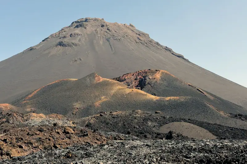
Pico do Fogo without a guide: required or not, price and booking the day before?
Climbing Pico do Fogo without an agency: is a guide required, price around €35-40 (about $41-46), booking the day before in Chã das Caldeiras, difficulty.
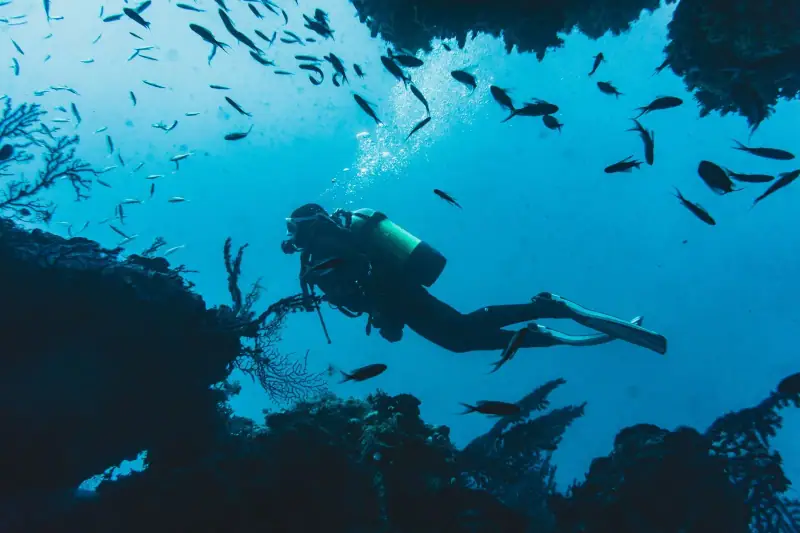
Scuba Diving in Cape Verde: Complete Guide to the Best Dive Spots
Diving in Cape Verde: best sites by island, marine life, dive clubs, required levels and the best season to explore the waters of the archipelago.
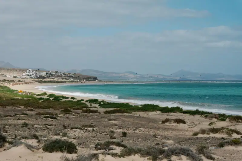
Visit Boa Vista: Complete Guide to the Island of Dunes
Everything to know about visiting Boa Vista, Cape Verde: beaches, dunes, sea turtles, kitesurfing, where to stay and how to get there.
Ready-made
Cape Verde itineraries
4 days
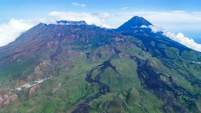
Fogo Island: complete 3-4 day itinerary (volcano, São Filipe, wine)
Detailed itinerary for 3 to 4 days on Fogo: Pico do Fogo climb, São Filipe, Chã das Caldeiras, volcanic wine and fishing villages.
7 days
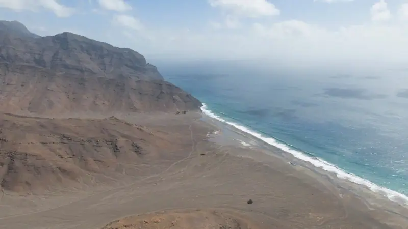
Cape Verde in 7 days: the perfect week itinerary
Cape Verde in 7 days: day-by-day plans for a great week on Sal, Santiago or São Vicente, with a detailed schedule and practical tips.
Can be adapted in the planner
14 days
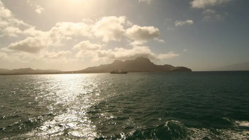
Island Hopping in Cape Verde: A Guide to Visiting Several Islands
SalSantiagoSão VicenteSanto Antão