Itineraries
São Miguel Road Trip: Driving Around the Island
We may earn a commission when you book through links on this page, at no extra cost to you. We don't visit or try the places we cover: we summarize published sources. How we work
In short
- Allow 3 to 5 days for the full loop: about 220 km (137 mi) of coastal driving plus 50 to 80 km (31 to 50 mi) of inland detours.
- Do not combine Sete Cidades and Furnas in one day: they are about 60 to 70 km (37 to 43 mi) and 1 h to 1 h 30 apart.
- A compact or light SUV is enough; there are no tolls on São Miguel or anywhere in the Azores.
- Fog can settle quickly at altitude: slow down, and wait 30 to 60 minutes at a foggy viewpoint.
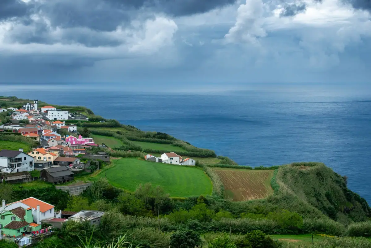
São Miguel is one of the most spectacular road trip destinations in Europe. At barely 65 km (40 mi) long and 15 km (9 mi) wide, the island packs in a variety of landscapes that would make whole regions blush: giant calderas, lakes of incredible colors, wild coasts, fishing villages, Japanese cedar forests and fields of hydrangeas as far as the eye can see. Here is how to drive around the island and miss nothing.
Road trip logistics
Recommended duration: 3 to 5 days to do the full loop with stops and hikes.
Total distance: about 220 km (137 mi) for the full coastal loop of the island, plus 50 to 80 km (31 to 50 mi) of inland detours (Sete Cidades, Lagoa do Fogo, Furnas). For Lagoa do Fogo, see how to get there in summer: Lagoa do Fogo: access, shuttle, parking and trail.
Car: A compact or a light SUV. Avoid very small city cars for the high-altitude tracks.
What not to do: combine Sete Cidades + Furnas on the same day. The two sites are about 60 to 70 km (37 to 43 mi) / 1 h to 1 h 30 apart by road depending on the route you choose (and more if you go via Lagoa do Fogo): plan a full day for each.
Fuel: Main gas stations in Ponta Delgada, Ribeira Grande, Lagoa and Nordeste. Fill up at every opportunity in rural areas.
The full clockwise route
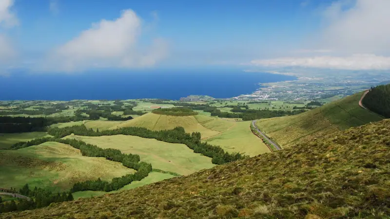
Stop 1: Ponta Delgada, the starting point
Start your road trip from Ponta Delgada, the capital. Park your car and explore the historic center on foot (2 to 3 hours). Highlights:
- Portas da Cidade: the baroque gates (18th century), now on Praça Gonçalo Velho Cabral
- Igreja Matriz de São Sebastião: the main church, with a fine Manueline portal
- São Brás Fort: the 16th-century fortress on the waterfront
- Marina: a walk along the quays, departure point for boat excursions (whales, dolphins, the Vila Franca islet)
Stop 2: West to Mosteiros and the wild coast
Take the EN1-1A coastal road west. Stops:
Piscinas naturais de Mosteiros: the natural pools carved into black volcanic rock are among the most spectacular in the Azores. At low tide, you can swim in basins naturally sheltered from the ocean.
Ponta do Escalvado (viewpoint): a view of the volcanic islets offshore.
Capelas: a typical coastal village with its baroque church and fishing harbor.
Stop 3: Sete Cidades caldera, the jewel (a full day on its own)
Head inland to the Sete Cidades caldera (~25 km / 16 mi, 35 min from Ponta Delgada), one of the most impressive natural sites in Europe.
Vista do Rei viewpoint: the classic view of the two lakes (blue and green) in their caldera 5 km (3 mi) across. Arrive early in the morning to avoid fog and groups.
Boca do Inferno: the other viewpoint over the caldera, a different view and less crowded.
Sete Cidades village: drive down into the caldera to the village of about 700 inhabitants (2021 census). The channel separating Lagoa Azul from Lagoa Verde is crossed by a stone bridge.
Mata do Canário – Sete Cidades trail (PR04 SMI): if you have time, the certified hike is 11.8 km (7.3 mi) (about 3 h to 3 h 30, moderate; source: trails.visitazores.com).
Stop 4: Ribeira Grande and the north of the island
Head down to the north coast to Ribeira Grande, the second city of São Miguel.
Ribeira Grande: a lively town with a colorful historic center and cafés. A lunch stop is recommended.
Caldeira Velha: a small caldera with hot springs and a waterfall, with water naturally heated by geothermal energy. Less well known than Furnas, it is often quieter.
Miradouro do Pico do Ferro: a panoramic view of the Furnas caldera with Lagoa das Furnas.
Stop 5: Nordeste and the northeast coast, the end of the world
This is the least touristy and wildest part of São Miguel.
Nordeste: the easternmost village on the island. Botanical gardens hanging above the ocean. An end-of-the-world atmosphere.
Nordeste viewpoints: a series of lookouts over black cliffs and waterfalls dropping into the sea. Spectacular at golden hour.
Cascata do Salto do Prego (Faial da Terra): a spectacular waterfall reached by the PRC09 SMI Sanguinho – Salto do Prego loop trail (4.5 km / 2.8 mi, about 1 h 45, moderate; source: trails.visitazores.com).
Stop 6: Furnas, the volcanic heart (a separate day recommended)
Furnas is ~45 km (28 mi) / 55 min from Ponta Delgada (south coast) and ~60 to 70 km (37 to 43 mi) / 1 h to 1 h 30 from Sete Cidades, which is why it deserves a separate day. It is the most anticipated stop of any São Miguel road trip.
Caldeiras das Furnas: a field of geysers, fumaroles and bubbling springs in the open air. The central area of the village (Caldeira Grande and surroundings) is free and reachable on foot. The Caldeiras da Lagoa das Furnas, on the lake shore, where the cozido pots are buried, are in a paid area (~€3 / ~$3.50).
Terra Nostra Garden: an exceptional botanical garden with a collection of camellias, hydrangeas and tropical plants. The natural thermal pool, the color of rusty ochre, is one of the most original in the Azores.
Lagoa das Furnas: the caldera lake where the pots are buried to prepare cozido das Furnas. A walk along the lakeside path (1 h 30, easy).
Cozido das Furnas: try this one-of-a-kind dish, a stew of meats and vegetables cooked for 6 hours in volcanic soil. Restaurante Tony’s (founded in 1984) and Miroma in Furnas are the local references.
Stop 7: South coast and back to Ponta Delgada
Faial da Terra: a picturesque village in the municipality of Povoação, in the southeast of the island, reached by a mountain road. Between mountains and sea, it offers an authentic, isolated atmosphere.
Vila Franca do Campo: a charming small town with its lively square. A boat trip to the Vila Franca volcanic islet is possible (regulated access, reservation required).
Lagoa das Furnas: a view of the lake from the south coast.
Ponta da Galera: spectacular cliffs and a view of the wild coasts.
Lagoa and Água de Pau: quiet villages with beautiful quintas.
Return to Ponta Delgada to close the loop.
Road tips
Fog: Fog can settle quickly at altitude, especially around the calderas. Slow down and turn on your lights. If you find a viewpoint completely in fog, wait 30 to 60 minutes; it often lifts quickly.
Hikes along the way: São Miguel has an excellent network of marked trails. For more information, see our guide to hiking in the Azores.
Opening hours: Terra Nostra opens at 10:30 am (until 4:30 pm, last entry 5 pm depending on the season); Caldeira Velha opens at 9 am (until 5:30 pm). Arrive at opening time to enjoy the quiet.
Lakes and volcanoes: To learn all about the fascinating geology of São Miguel’s natural sites, read our article on the lakes and volcanoes of the Azores.
Sources
Frequently asked questions
How many days does it take to drive around São Miguel?
Two days are enough for a quick tour, but 3 to 4 days let you really enjoy each site. With 5 days, you can explore the hidden corners and do some hikes.
Are the roads difficult on São Miguel?
The coastal roads are well maintained. The mountain roads to the calderas are winding and sometimes wet. Drive carefully and adjust your speed to the frequent fog.
What car should you rent for this road trip?
A compact or a light SUV is fine. Avoid very small city cars for the high-altitude tracks near the calderas.
Can you do this road trip without GPS?
Download offline maps of São Miguel on Google Maps or Maps.me before you leave. Mobile coverage can be weak at altitude. Road signs are sometimes sparse.
Are there tolls on São Miguel?
No, there are no tolls on São Miguel or anywhere in the Azores archipelago.
More Azores guides
Keep reading
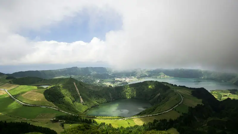
Azores Lakes and Volcanoes: The Main Natural Sites
The most beautiful volcanic lakes in the Azores. Sete Cidades, Fogo, Furnas, Algar do Carvão: the archipelago's natural wonders.
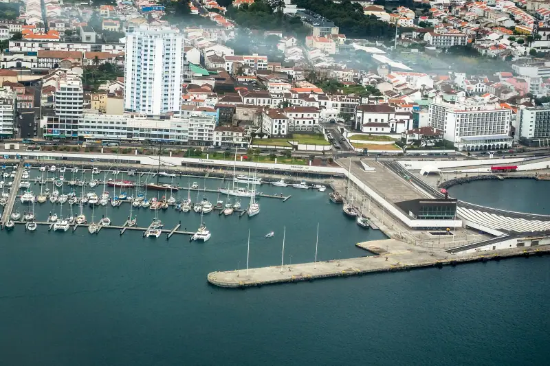
Where to Stay in São Miguel: Best Areas and Hotels
Where to stay on São Miguel in the Azores? A complete guide to the best areas of Ponta Delgada, rural stays and options for every budget.
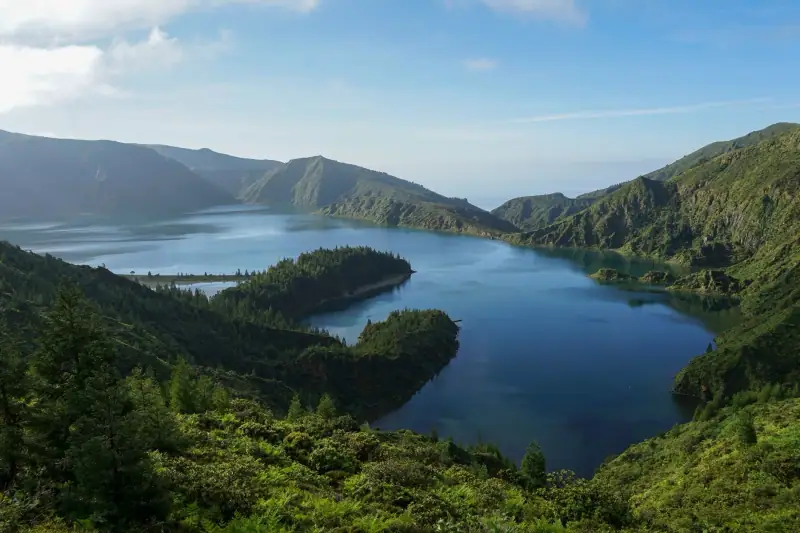
Best Time to Visit the Azores: Month by Month
When to go to the Azores? Weather, temperatures, crowds and prices month by month, to pick the best time for what you want to do.
Ready-made
Azores itineraries
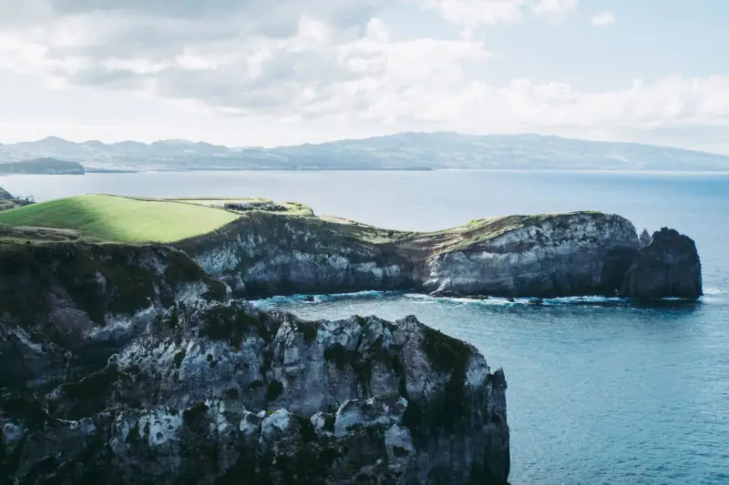
4 days
São Miguel in 4 Days Without a Car: A Realistic Itinerary by Bus and Organized Tour
Can you visit São Miguel without a rental car? A realistic 4-day itinerary with public buses, organized tours, schedules, prices and distances.
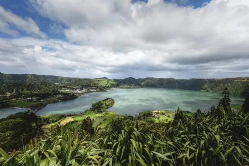
5 days
São Miguel in 5 days with kids: stops, miles and a realistic pace
5 days on São Miguel (Azores) with kids: day-by-day stops, distances and drive times, naps, swims, whales and pace pitfalls to avoid.
Can be adapted in the planner
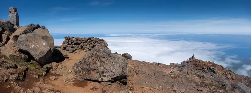
3 days
3 Days on Pico in the Azores: Volcano, Vineyards and Whales
3-day Pico itinerary: climb Portugal's highest peak, UNESCO vineyards, whale watching and lava tubes. A complete guide.