Things to do
Hiking in Taiwan: the island's best trails
We may earn a commission when you book through links on this page, at no extra cost to you. We don't visit or try the places we cover: we summarize published sources. How we work
In short
- Taiwan has more than 100 peaks above 3,000 m (9,840 ft), national parks with trails for all levels, and English-language signage and information.
- Peaks over 3,000 m, including Yushan (3,952 m / 12,966 ft), require a mountain permit requested in advance; ordinary park trails generally do not.
- Best period for the central mountains is October to April; summer typhoons and rain can close trails.
- Since the 2024 earthquake, several Taroko trails (Shakadang, Baiyang, Zhuilu) are closed or partly open; check the park's website before you go.
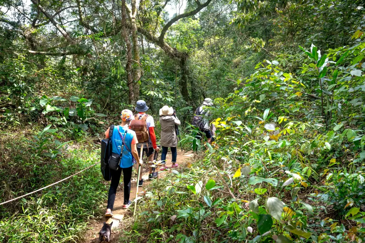
Taiwan is a hiker’s paradise. This mountainous island of 36,000 km² (13,900 sq mi) holds more than 100 peaks above 3,000 meters (9,840 ft), spectacular gorges, forests of thousand-year-old cypresses and wild coasts. Trails are generally well marked and public transport reaches most trailheads without a car.
Why hike in Taiwan?
The variety of landscapes. In a few days, you can go from Taroko’s marble gorges to Alishan’s giant fern forests, from Yangmingshan’s steaming volcanoes to Yushan’s sea of clouds. No other island in Asia offers such a concentration of different landscapes.
Accessibility. Taiwan’s public transport network serves most well-known trailheads. The national parks are well organized, with English maps, clear signs and ranger stations.
Safety. Official trails are generally well maintained. Park rangers are competent and trained in first aid. 4G mobile coverage is surprisingly good even in the mountains (with a few exceptions).
Hikes by region
North: Yangmingshan and the volcanoes
Yangmingshan National Park (陽明山) is Taipei’s suburban nature park, 30 minutes from the center by bus. It is the ideal place for an introduction to Taiwanese hiking.
Qixingshan hike (七星山, 1,120 m / 3,675 ft): the park’s highest peak, 3-4 hours round trip from the visitor center. In autumn, golden pampas grass (芒草) covers the slopes in a magnificent display. Getting there: bus 260 from Jiantan station.
Xiaoyoukeng crater: an active caldera with sulfurous fumaroles, reached by a 30-minute trail. The smell is strong but the sight is unique.
Menhuanshi hike: a 5 km (3 mi) ridge trail with panoramic views of Taipei on one side and the Pacific Ocean on the other in clear weather.
East: Taroko and the coast
See our dedicated guide to Taroko Gorge for the full trail details.
The flagship trails (note: since the 2024 earthquake, several are closed or partly open, so check their status on the park’s website before you go):
- Shakadang Trail: 4.4 km (2.7 mi) along a blue river (easy), closed for works in 2026
- Baiyang Waterfall: 2.1 km (1.3 mi) with tunnels and waterfalls (moderate), closed in 2026
- Zhuilu Trail: on the cliffs above the gorge (hard, permit required), closed in 2026
- Lushui Trail: forest and views of the gorge (moderate), only partly open
Center: Alishan and the thousand-year-old cypresses
Alishan National Park (阿里山) is famous for its forests of thousand-year-old red cypresses (some are more than 3,000 years old) and its sunrises above a sea of clouds.
Sacred Cypress Trail: a 2 km (1.2 mi) loop through Alishan’s wooded giants. Some trees are 50 meters (164 ft) tall and more than 2,000 years old. Easy access from Alishan station.
Sunrise trail: Alishan’s most popular. Take the first rack train (4:30-5 am depending on the season) to the Zhushan viewpoint. The sun rises over a sea of white clouds between the peaks: one of the most beautiful sunrises in Asia.
Hike to Shouchen Lake: a 3-hour loop around the park’s only natural lake, surrounded by dense forest. Less crowded than the main circuits.
South: the Yushan mountains
Mount Yushan (玉山, Jade Mountain) is the highest peak in Taiwan at 3,952 meters (12,966 ft). Climbing Yushan is the goal of many Taiwanese and foreign hikers.
Climbing Yushan:
- Duration: 2 days minimum (1 night at the hut at 3,402 m / 11,161 ft)
- Elevation gain: about 1,800 meters (5,900 ft) from the start
- Permit: mandatory, lottery on the official site hike.taiwan.gov.tw (check the lottery calendar and deadlines; applications are made well in advance)
- Gear: warm clothing (-5 °C / 23 °F at the summit even in summer), crampons in winter
- Difficulty: hard but not technical (no climbing)
- Reward: a 360° view of all of Taiwan in clear weather
Stays near the national parks
Stay as close as possible to the trails to start at dawn.
Recommended gear
Essential:
- Waterproof high-ankle hiking shoes
- Raincoat and windbreaker
- Trekking poles (very useful on high-mountain trails)
- Water (2 liters / about half a gallon minimum per half day)
- Food reserves (bars, dried fruit)
- Headlamp (essential for pre-dawn starts)
- Offline downloaded map (Maps.me or AllTrails with a Taiwanese map)
For high mountains (Yushan, Hehuan):
- Warm layered clothing (wool, fleece, waterproof windbreaker)
- Gloves and a hat (below-freezing temperatures at the summit)
- Emergency blanket
- First-aid kit
Practical tips
Early starts. Most Taiwanese hikers set off at dawn, and they are right. Mornings are cool, views are clearer before the afternoon clouds and popular trails are less crowded.
Useful apps. Komoot and AllTrails have GPS tracks for most Taiwanese trails. The official Taroko park app is available in English.
Reporting. For hikes longer than a day, register at the ranger station at the trailhead. It is mandatory for peaks above 3,000 meters.
Taiwan is a hiking destination that deserves a place in any itinerary. Whether you are a beginner looking for a 2-hour walk in Yangmingshan’s forests or a mountaineer wanting to reach the summit of Yushan, the island has a trail for you. See our complete Taiwan guide to organize your trip.
Frequently asked questions
Is Taiwan a good country for hiking?
An excellent hiking destination. Taiwan has more than 100 peaks above 3,000 meters (9,840 ft), national parks with trails for all levels, and quality hiking infrastructure with trail marking, huts and information in English.
Do you need permits to hike in Taiwan?
For peaks above 3,000 meters (including Yushan), a mountain permit is mandatory and must be requested in advance (on the national park website). Normal park trails generally do not require a permit.
What is the best period for hiking in Taiwan?
October to April is the best period for the central mountains. In summer (June-August), typhoons and rain can close trails. For coastal hikes (Taroko), simply avoid days of heavy rain.
Can you climb Mount Yushan (Taiwan's highest)?
Yes, Mount Yushan (3,952 m / 12,966 ft) is accessible to hikers in good physical condition. You need to obtain a permit (lottery several months ahead), plan 2-3 days, and be equipped for temperatures near 0 °C (32 °F) at the summit even in summer.
Are there venomous snakes on Taiwan's trails?
Yes, Taiwan is home to several species of venomous snakes. Wear high-ankle shoes on trails, watch where you put your feet in dense vegetation and stay on marked trails.
More Taiwan guides
Keep reading
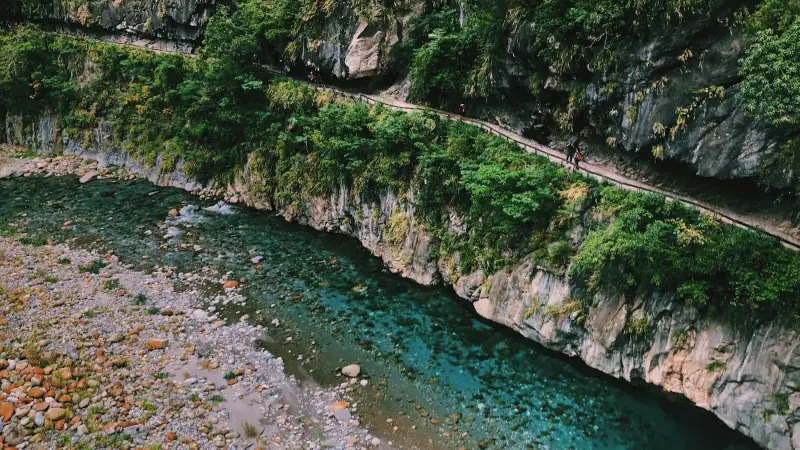
Taroko Gorge: the complete guide to the national park
Everything to visit Taroko Gorge in Taiwan: trails, permits, accommodation, getting there from Hualien and safety tips.

Releasing a sky lantern at Pingxi and Shifen: prices, booking and getting there from Taipei
Sky lanterns at Shifen and Pingxi: do you need to book, what it costs, the rules and how to get there from Taipei by train, without a tour.

Visiting Kaohsiung: a complete guide to the southern metropolis
Everything to visit Kaohsiung: Pier-2, Lotus Pond, Cijin, night markets, transport and practical tips for southern Taiwan's gem.
Ready-made
Taiwan itineraries
10 days
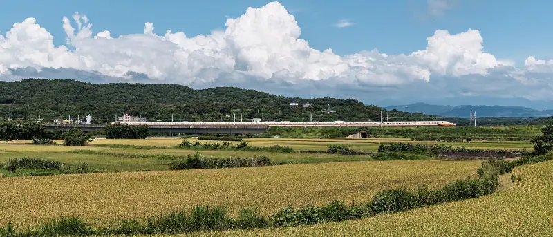
Taiwan in 10 days without a car: train and HSR itinerary, stops and travel times
TaipeiSun Moon LakeTainanKaohsiungKentingHualien
5 days
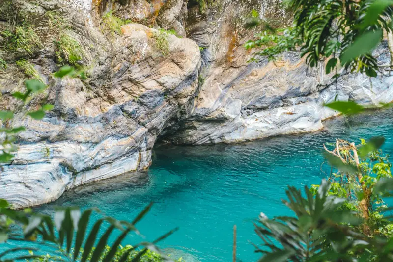
Eastern Taiwan road trip: the Pacific coast and Taroko Gorge
A complete guide to a road trip in eastern Taiwan: Taroko Gorge, Hualien, the Rift Valley, Highway 11 and Taitung in 5 to 7 days.

7 days
Taiwan in 7 days: the perfect itinerary for a first trip
TaipeiHualienSun Moon LakeTainan