Things to do
Hiking in Sardinia: The Best Trails and Treks on the Island
We may earn a commission when you book through links on this page, at no extra cost to you. We don't visit or try the places we cover: we summarize published sources. How we work
In short
- The Ogliastra has the island's best hiking: Gorropu gorge (4-6 hours round trip, intermediate to difficult) and the descent to Cala Goloritzè (3-4 hours, intermediate).
- April-June and September-October are the best periods; July-August is too hot for mountain hiking (35 to 40 °C / 95 to 104 °F).
- A local guide is strongly recommended for Gorropu, Cala Goloritzè and the Supramonte crossing; marked coastal trails can be done alone.
- Bring at least 2 liters of water per person: there are no reliable springs on most trails.
Sardinia is an underrated hiking destination. Too often associated with its beaches alone, the island hides exceptional walking treasures: dizzying gorges, cliffs dropping into a turquoise sea, karst plateaus dotted with nuraghi, forests of centuries-old oaks. Here are the island’s best trails, grouped by region and level.
The Ogliastra: the queen region of Sardinian hiking
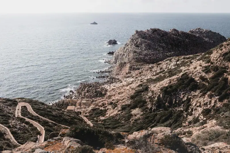
The Ogliastra, on Sardinia’s east coast, holds the island’s most beautiful hiking landscapes. The limestones of the Supramonte and the Gennargentu drop straight into the Mediterranean, creating spectacular panoramas.
Gorropu gorge: the Sardinian Grand Canyon
Level: Intermediate to difficult Duration: 4-6 hours round trip Distance: 10-14 km (6-9 mi) depending on the access chosen Start: Sa Barva or Flumineddu (near Dorgali) Elevation change: 400-600 m (1,300-2,000 ft) depending on the starting point
Gorropu gorge is nicknamed the “Grand Canyon of Europe”. Its white limestone walls rise more than 500 m (1,640 ft) high over a length of 4 km (2.5 mi), in an impressive silence and majesty. The bottom of the gorge is strewn with massive rock blocks, making progress delicate in places (trekking shoes required).
The main trail starts at Sa Barva, at the bottom of a valley reachable by car. The climb to the entrance of the gorge takes about 1 h 30. The inside of the gorge is a world apart: damp, cool even in summer, with specific vegetation (wild orchids, tree ferns).
Recommendation: A local guide is strongly advised for the descent into the canyon (rates vary: check with the guides; access conditions and entrance ticket to be confirmed with the Campo Base Gorropu). They know the passages, the risk zones and the fascinating geological history of the place. Contact the guides of Dorgali or Cala Gonone.
Guided hikes in Sardinia
Gorropu, Supramonte, coastal trails with certified guides.
Cala Goloritzè: the descent to paradise
Level: Intermediate Duration: 3-4 hours round trip Distance: 8 km (5 mi) Start: Golgo plateau (above Baunei) Elevation change: 500 m (1,640 ft) downhill (the same back up)
Cala Goloritzè is reachable only by sea or by this mountain trail. This difficulty of access preserves one of the most beautiful beaches in Sardinia, and perhaps in the Mediterranean. The 140 m (460 ft) natural limestone arch that towers over it, classified as a natural monument, is one of the symbols of the Ogliastra.
The trail descends from the Golgo plateau through a forest of junipers and wild olive trees, with breathtaking views of the coast. The beach itself, of pebbles and white sand, is surrounded by cliffs of 100-200 m (330-660 ft) plunging into water of unreal clarity.
Warning: Access to Cala Goloritzè and the Golgo plateau can be limited in high season (July-August) and the rules change from year to year: check with the municipality of Baunei whether a reservation is required before you go.
Cala Luna: the coastal trek
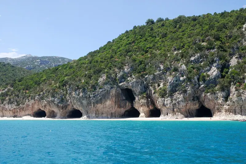
Level: Easy to intermediate Duration: 2-3 hours round trip from Cala Gonone (or travel by boat) Distance: 8 km (5 mi) one way
Cala Luna is a crescent-shaped beach in a limestone cliff, with its emblematic arch of yellow rock. The coastal trail from Cala Gonone runs along the cliffs with constant views of the sea. Many hikers choose to walk there and come back by boat (boats leave from Cala Gonone in season; times vary with the weather, to be confirmed with the operators).
The Supramonte: the mysterious highlands
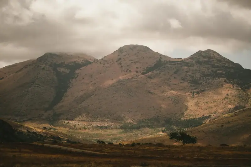
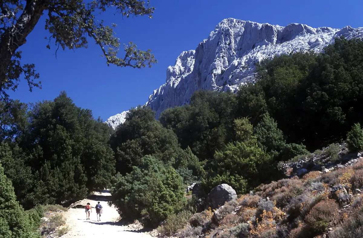
The Supramonte is the limestone massif that overlooks the Ogliastra and the Barbagia. At an altitude of more than 1,000 m (3,300 ft), it is a world of white stones, centuries-old holm oaks and silence.
Supramonte crossing (Tiscali-Valle di Lanaitho)
Level: Difficult Duration: 2 days with a bivouac night Distance: 25-30 km (16-19 mi) Recommendation: Guide strongly advised (check with the municipalities of Oliena or Dorgali whether a requirement applies)
The Nuragic village of Tiscali, hidden in an immense karst cavity in the heart of the Supramonte, is one of the most mysterious archaeological sites in Sardinia. Reaching it by a 2-day trek (with a bivouac under the stars) through a landscape of white limestone is an unforgettable experience for experienced hikers.
Coastal trails
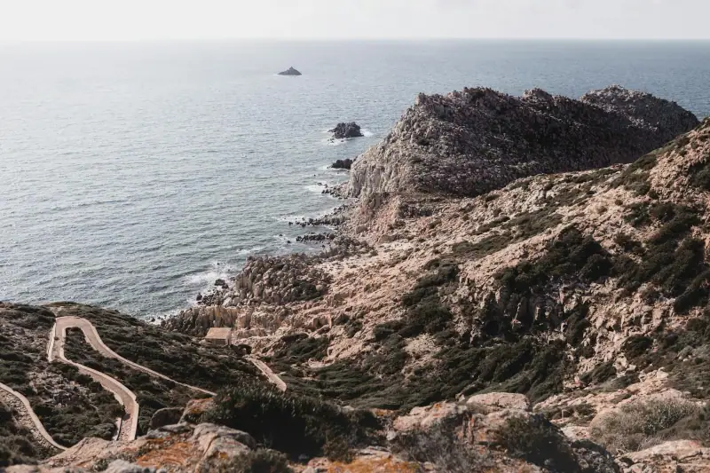
Sella del Diavolo trail (Cagliari)
Level: Easy Duration: 1-2 hours Start: Calamosca, Cagliari
From Cagliari, the Sella del Diavolo promontory (“Devil’s Saddle”) is reached by a forest path from Calamosca beach. Panoramic view over the Gulf of Cagliari, Poetto and the surrounding lagoons. Ideal for the start or end of an active stay.
Bosa to Alghero coast
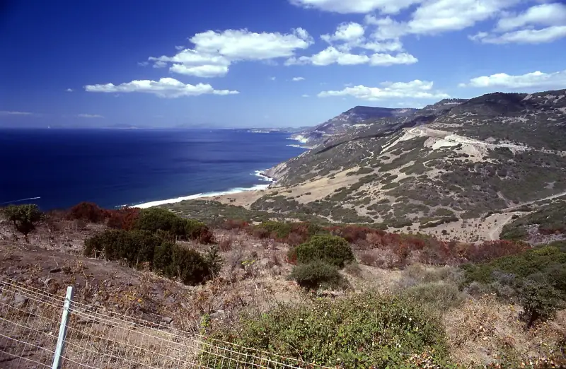
Level: Difficult (long) Duration: 2-3 days Distance: 50 km (31 mi)
For adventurous hikers, the coastal long-distance trail (GR) between Bosa and Alghero follows the cliffs of the Riviera del Corallo with spectacular sea views. Several wild camping spots along the way. One of the wildest coastal treks in Italy.
High-altitude hikes: the Gennargentu
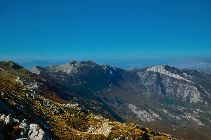
Punta La Marmora (1,834 m / 6,017 ft)
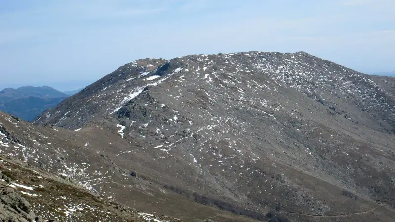
Level: Difficult Duration: 5-7 hours round trip Start: Desulo or Fonni
Sardinia’s highest point can be reached on foot from the villages of Desulo or Fonni. The summit offers a 360° panorama over the whole island in clear weather. The climb crosses moorland, beech forests and rocky scree.
Best outside July-August (too dry and hot). In winter, the summit can be snow-covered and the hike requires suitable equipment.
Recommended gear
Essential:
- Trekking shoes (lugged soles, ankle protection): the limestone terrain is sharp
- Plenty of water (minimum 2 liters per person, about 2 quarts): no reliable springs on most trails
- Sun protection: total exposure on the plateaus
- GPS or a map downloaded offline (no coverage in the mountains)
- Basic first aid kit
Recommended:
- Trekking poles (descents over rocky blocks)
- Light gaiters (dense vegetation on some trails)
- Headlamp (for early starts or in case of delay)
Best times to hike
| Month | Conditions |
|---|---|
| January-February | Cold, damp trails or snow at altitude, very few people |
| March-April | Ideal: flowers, greenery, cool air |
| May-June | Best balance of conditions and weather |
| July-August | Too hot for altitude (avoid), coastal trails early in the morning |
| September-October | Excellent conditions, still fine weather |
| November-December | Frequent rain, slippery trails |
To combine hiking with sea kayaking in the Ogliastra, or for fans of diving after the effort, eastern Sardinia awaits.
Frequently asked questions
What is the most beautiful hike in Sardinia?
Gorropu gorge (Ogliastra) is often cited as the most spectacular hike. The descent to Cala Goloritzè from the Golgo plateau is also exceptional.
Is hiking in Sardinia difficult?
Trails range from easy (the coast at Cala Gonone) to very difficult (the Supramonte crossing, Gorropu gorge). Most popular hikes are accessible to intermediate-level hikers.
When should you hike in Sardinia?
April-June and September-October are the best periods. Summer (July-August) is too hot for mountain hiking (35 to 40 °C / 95 to 104 °F). Trails can be slippery in winter.
Do you need a guide to hike in Sardinia?
For Gorropu gorge, the descent to Cala Goloritzè or the Supramonte crossing, a local guide is strongly recommended (safety, navigation). For marked coastal trails, you can go on your own.
Can you hike in Sardinia with children?
Yes, several coastal trails around Cala Gonone and Santa Maria Navarrese suit families. With children under 10, prefer easy marked trails.
More Sardinia guides
Keep reading
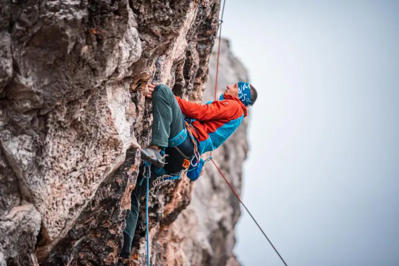
Rock Climbing in Sardinia: The Best Spots and Routes
A guide to climbing in Sardinia: Cala Gonone cliffs, the Ogliastra, Cagliari. Routes for all levels, seasons and tips for climbers.
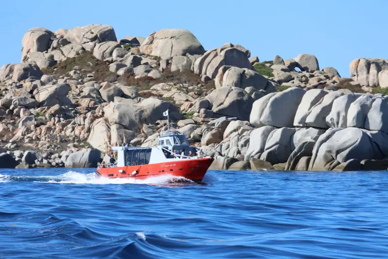
La Maddalena Archipelago Boat Trip: Book Ahead or on the Spot?
La Maddalena boat trip from Palau: prices, duration, booking ahead or on the spot, season, Budelli and tips to avoid unpleasant surprises.
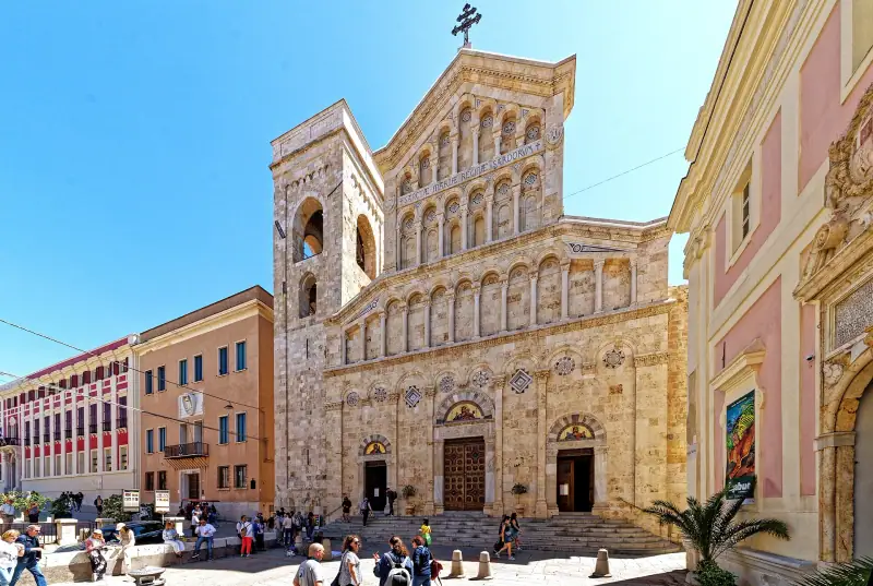
Cagliari Highlights: What to See and Do in Sardinia's Capital
The highlights of Cagliari: Castello, Poetto, museums, markets, food. A complete guide to visiting the capital of Sardinia in 2 days.
Ready-made
Sardinia itineraries
14 days
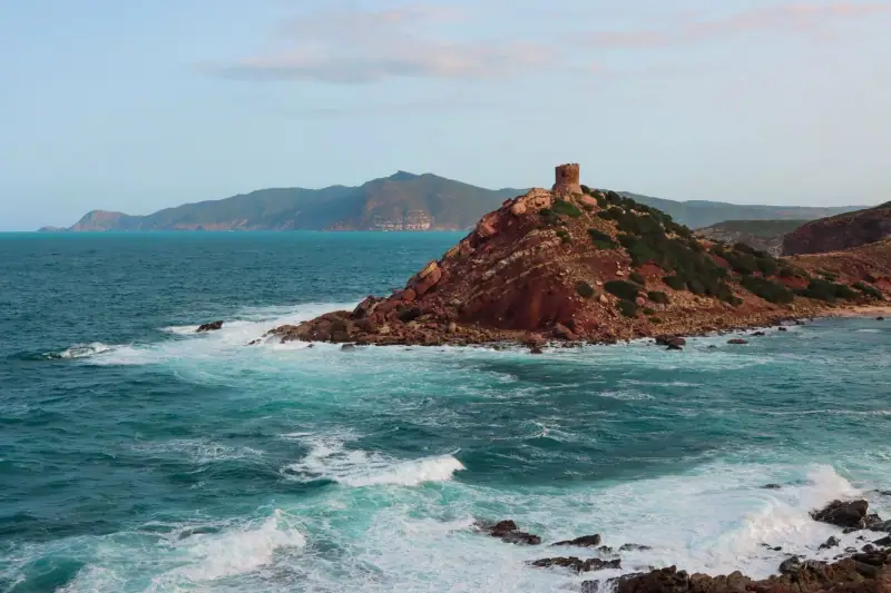
Sardinia Road Trip: The Complete Island Loop in 10-14 Days
Plan your Sardinia road trip: a complete 10 to 14 day itinerary, scenic roads, essential stops and driving tips.
7 days
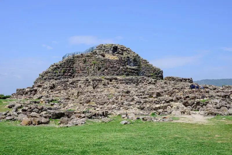
Sardinia in 7 Days: A Complete Itinerary for an Unforgettable Week
7-day Sardinia itinerary: Cagliari, Chia, Ogliastra, nuraghi and Costa Smeralda. A day-by-day plan with practical tips.
5 days
Sardinia in 5 Days by Car: A Realistic Itinerary (Distances and Drive Times)
PalauCastelsardoAlghero