Things to do
Lukomir: How to Visit Bosnia's Highest Village, With or Without a Car
We may earn a commission when you book through links on this page, at no extra cost to you. We don't visit or try the places we cover: we summarize published sources. How we work
In short
- Lukomir sits at 1,495 m (4,905 ft) on the Bjelašnica plateau, about 50 km (31 mi) and 90 minutes by road from Sarajevo.
- No regular public bus was found. Without a car, choose a day tour from Sarajevo (about $80 to 90 per person in a group), a negotiated taxi to Umoljani, or a night on Bjelašnica.
- The hike from Umoljani is about 8 km (5 mi) each way: allow 2 h 30 to 3 h one way.
- Best season is June to September. In winter snow isolates the plateau: go only with a local guide.
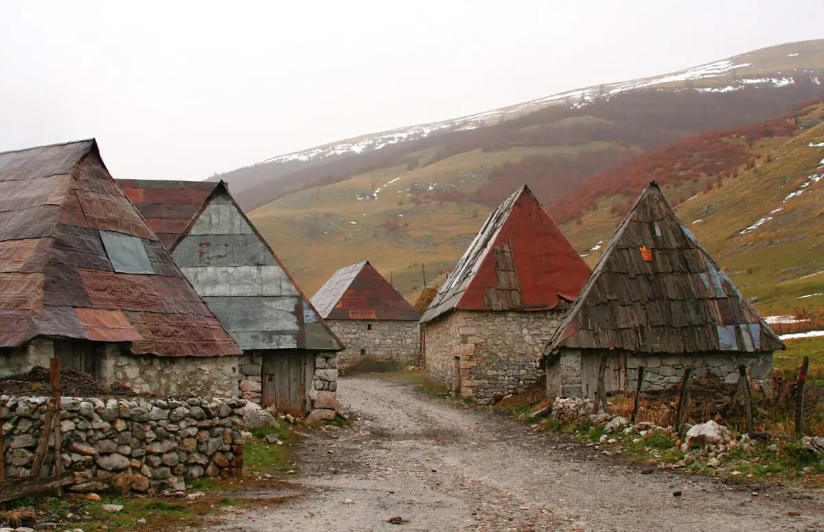
Lukomir is a stone hamlet perched at 1,495 m (4,905 ft) on the Bjelašnica plateau, about 50 km (31 mi) from Sarajevo, at the edge of the Rakitnica canyon. You can visit it in a day: on an organized tour from Sarajevo (about $80 to 90 in a group, according to the listings seen), by car and then on foot from Umoljani, or on a hike of 8 km (5 mi) each way from that village.
As far as published sources show, there is no regular public bus to the village. That is the main difficulty for anyone traveling without a car, and it is what this guide covers.
What exactly is Lukomir?
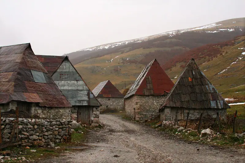
The Sarajevo tourist office presents it as “the last real Bosnian village,” on a ridge of the Rakitnica canyon. The upper village (Gornji Lukomir) is the best known; a lower hamlet, Donji Lukomir, lies about 500 m (1,640 ft) below on the canyon slopes. The houses have stone walls and wooden shingle roofs, and stećci (medieval tombstones of the 14th and 15th centuries) show that people have lived here for a very long time. The site is listed as a national monument of Bosnia and Herzegovina.
Do not expect a lively village: 13 permanent residents at the 2013 census, and about twenty families who return in summer. People come for the landscape, the silence and the walking.
How to get to Lukomir from Sarajevo by car
Allow about 90 minutes of driving from central Sarajevo, via Babin Do and Bjelašnica. The road is paved for the most part, then the last kilometers (about 10 km / 6 mi) are a winding gravel track over karst terrain. An ordinary rental car makes it in summer in dry weather, but drive slowly, and avoid the track after heavy rain or outside summer. Our guide to renting a car in Bosnia covers licenses, insurance and prices.
From Konjic, the village is about 30 km (19 mi) away.
Lukomir without a car: three options
Day tour from Sarajevo
This is the simplest option. The listings seen describe a day of about 9 hours: departure around 8 am, about 90 minutes by road to Umoljani, 8 km (5 mi) of walking to Lukomir, lunch there with a family or a picnic, then 8 km (5 mi) back. Rates found range from about $80 to 90 per person in a group to more than $200 for a high-end version with a picnic. Always check whether lunch is included.
Lukomir and Bjelašnica tours
Compare guided day hikes with a transfer from Sarajevo.
Taxi or transfer to Umoljani
If you want to walk at your own pace without paying for a full tour, negotiate a round trip with a taxi or a private transfer from Sarajevo or Konjic, with a wait while you hike. Agree on the price before getting in and set the pick-up time. No reliable published rates were found: ask for several quotes.
Sleeping on Bjelašnica
The mountain has accommodation around the resort. Sleeping there shortens the approach and lets you start early. It is also the most flexible option if the weather changes.
Sleep near Bjelašnica or in Sarajevo
Compare accommodation to get an early start for the plateau.
The Umoljani to Lukomir hike: difficulty and duration
The route advertised by operators is about 8 km (5 mi) each way, over high pastures and ridges with views of the canyon. The elevation change is not extreme, but altitude, sun and wind matter: allow 2 h 30 to 3 h of walking each way, so 5 to 6 hours of walking in total with breaks.
Things to watch:
- Start early: in summer, afternoon thunderstorms are common in the mountains.
- There is no reliable water point on the route: carry 2 liters (about 2 quarts) per person.
- Phone reception is poor on the plateau: download the offline map and tell your accommodation your return time.
- Stay on the trail. For the basic rules, read our guide to mines and hiking in Bosnia.
To know when a guide is needed, see also hiking in Bosnia without an agency: Bjelašnica is one of the massifs where going independently on marked trails is reasonable.
When to visit Lukomir
From June to September, the road is passable, the trails are clear and the village is lived in. At 1,495 m (4,905 ft), winter isolates the plateau: if there is snow, do not attempt the track by car and go only with a local guide. If you come for skiing, the massif is covered in our guide to the Jahorina and Bjelašnica resorts.
What to bring
Lukomir has no shops to speak of. Bring water, food, cash in small notes (convertible marks, BAM) and a small daypack.
Since the village is home to families, be discreet: ask before photographing anyone or entering a yard, and do not leave any litter.
Quick table
| Question | Answer |
|---|---|
| Altitude | 1,495 m (4,905 ft) |
| Distance from Sarajevo | about 50 km (31 mi), 90 min by road |
| Hike from Umoljani | about 8 km (5 mi) each way |
| Group tour | about $80-90 per person (listings) |
| Public transport | no regular line found |
| Best season | June to September |
In short
For a first visit, the guided tour from Sarajevo is the simplest and safest. With a car, the final track is slow but passable in summer. Without a car or a guide, you need to arrange a taxi to Umoljani: book it the day before and leave a margin on the return time.
Sources
Frequently asked questions
Can you get to Lukomir without a car?
Yes, but not easily. No regular bus line to Lukomir was found. The car-free options are a day tour from Sarajevo, a taxi or transfer negotiated to Umoljani, or a night in a guesthouse on Bjelašnica. Ask your accommodation before you go, as local schedules change.
How long is the Umoljani to Lukomir hike?
Organized tours advertise about 8 km (5 mi) each way from Umoljani, for a day of around 9 hours including transfers. Allow 2 h 30 to 3 h of walking each way for an average hiker, on terrain that is rolling rather than steep.
How much does a Lukomir tour from Sarajevo cost?
Listings seen in October 2026 show about $80 to 90 per person for a group day, more for a private version or one with lunch. Prices vary with the date and the currency: confirm with the operator before booking.
Can you stay overnight in Lukomir?
The village has very few year-round residents (13 in the 2013 census) and families who return in summer. Homestays exist in summer, but their rates could not be verified: book ahead and never count on a free room on arrival.
What is the best season for Lukomir?
June to September, when the road and trails are clear and the families have returned to the village. In winter the altitude (1,495 m / 4,905 ft) isolates the plateau with snow: go only with a local guide.
Is there a mine risk around Lukomir?
As in much of rural Bosnia, stay on marked trails and the tracks used by residents, and never cut across fields or forest. See our guide to mines and hiking for the basic rules.
More Bosnia and Herzegovina guides
Keep reading
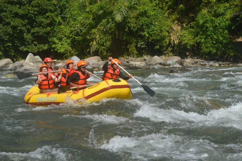
Rafting on the Una in Bosnia: Complete Guide to an Unforgettable Adventure
All about rafting on the Una river in Bosnia: levels, seasons, operators, Štrbački Buk and Martin Brod waterfalls. Bosnia's best adventure.
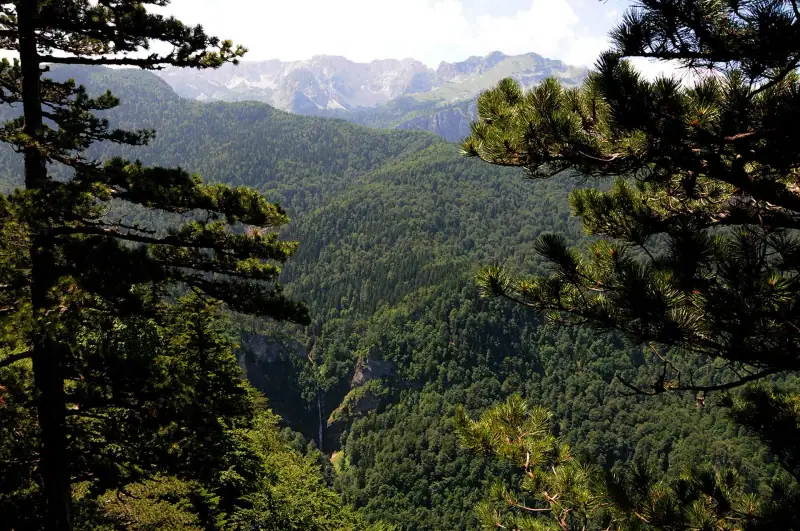
Sutjeska National Park: Complete Guide (Hiking, Perućica Forest, Maglić)
Everything about Sutjeska National Park in Bosnia: Perućica primeval forest, Skakavac waterfall, climbing Maglić, access and practical tips.
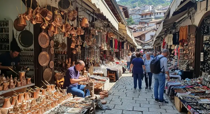
Bosnia Travel Budget: How Much Should You Plan for a Trip?
Everything about the budget for traveling in Bosnia and Herzegovina: accommodation, meals, transport, activities. Estimates by travel style.
Ready-made
Bosnia and Herzegovina itineraries
3 days
Northwest Bosnia: Banja Luka, Jajce and Una National Park
JajceBanja Luka
5 days
14 days
Bosnia and Herzegovina Road Trip: A 10 to 14 Day Itinerary by Car
Road trip through Bosnia and Herzegovina in 10 to 14 days: Sarajevo, Mostar, the Una, Sutjeska and Trebinje. The full itinerary to see it all.