7 days
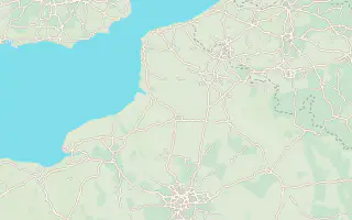
- Chantilly2 nights
- Boulogne-sur-Mer3 nights
- Calais1 night
About 6 h 10 of driving in total (555 km / 345 mi)
Adapt this 7-day trip
How many days, how you get around, what you like: the planner builds the trip, with the nights, the real drive times and what to do each day.
We may earn a commission when you book through links on this page, at no extra cost to you. We don't visit or try the places we cover: we summarize published sources. How we work
Loading the planner…
Beta: drive times and stops are estimates, computed automatically. Check roads, opening hours, seasonal closures and bookings before you go. Report an error
Computed by the planner with its default settings (by rental car, easy pace).
About 6 h 10 of driving in total (555 km / 345 mi)
Adapt this 7-day trip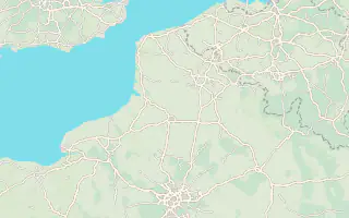
About 6 h 50 of driving in total (598 km / 372 mi)
Adapt this 10-day trip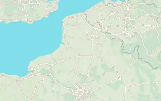
About 7 h 20 of driving in total (616 km / 383 mi)
Adapt this 14-day tripPrefer to read a ready-made plan? Weekend in Lille: what to see and do in 2 days
Entry requirements for Hauts-de-France: visa, passport and travel authorisation
By car, computed on OpenStreetMap roads, without breaks or traffic, rounded to 5 minutes. Times computed by us from OpenStreetMap data (OSRM routing) in November 2026.
| From / to | Lille | Amiens | Saint-Valery-sur-Somme | Boulogne-sur-Mer | Arras | Le Crotoy |
|---|---|---|---|---|---|---|
| Lille | same place | 1 h 35141 km / 87 mi | 2 h 25209 km / 130 mi | 1 h 40142 km / 88 mi | 40 min53 km / 33 mi | 2 h 15151 km / 94 mi |
| Amiens | 1 h 35141 km / 88 mi | same place | 1 h74 km / 46 mi | 1 h 25128 km / 79 mi | 1 h 1563 km / 39 mi | 1 h74 km / 46 mi |
| Saint-Valery-sur-Somme | 2 h 25154 km / 96 mi | 1 h73 km / 45 mi | same place | 1 h 0579 km / 49 mi | 1 h 45101 km / 63 mi | 20 min16 km / 10 mi |
| Boulogne-sur-Mer | 1 h 40141 km / 88 mi | 1 h 25128 km / 79 mi | 1 h 0580 km / 50 mi | same place | 1 h 20116 km / 72 mi | 55 min74 km / 46 mi |
| Arras | 40 min54 km / 33 mi | 1 h 15100 km / 62 mi | 1 h 50102 km / 64 mi | 1 h 25117 km / 73 mi | same place | 1 h 4098 km / 61 mi |
| Le Crotoy | 2 h 20155 km / 96 mi | 1 h82 km / 51 mi | 20 min17 km / 11 mi | 55 min75 km / 46 mi | 1 h 40102 km / 64 mi | same place |
In 7 days, we suggest 3 stops: Chantilly, Boulogne-sur-Mer and Calais. In 10 days, 4 stops, and in 14 days, 6 stops: Arras, Lille, Calais, Boulogne-sur-Mer, Amiens and Chantilly. With 5 days, it's better to stick to 2 stops. The suggestions take real drive times into account: about 7 h 20 of travel in total over two weeks.
No connections found: the planner has no car-free mode for Hauts-de-France because no official timetables were read. Our articles say that Lille, Arras, Amiens, Boulogne and Le Touquet (Étaples station) are served by train, but the capes, the Bay of Somme and the memorial sites are much easier to visit by car.
Allow about 1 h 35 of driving for 141 km / 87 mi, according to OpenStreetMap, without breaks or traffic. The table above gives the times between the main stops. Computed by us in November 2026.