Things to do
Hiking to Lake Sorapis Without a Guide: Difficulty, Parking and Real Duration
We may earn a commission when you book through links on this page, at no extra cost to you. We don't visit or try the places we cover: we summarize published sources. How we work
In short
- Trail 215 from Passo Tre Croci is marked and needs no guide or climbing gear: about 12 km (7.5 mi) round trip with roughly 500 m (1,640 ft) of climbing.
- Allow 4 h to 4 h 30 with breaks, plus 30 to 60 minutes of possible queues at the cable sections in summer.
- There is no real parking lot at the pass: park along the SR 48 and arrive before 7 am in high season.
- Season runs from June to late October depending on snow; Lake Misurina is an easy alternative if you dislike heights.
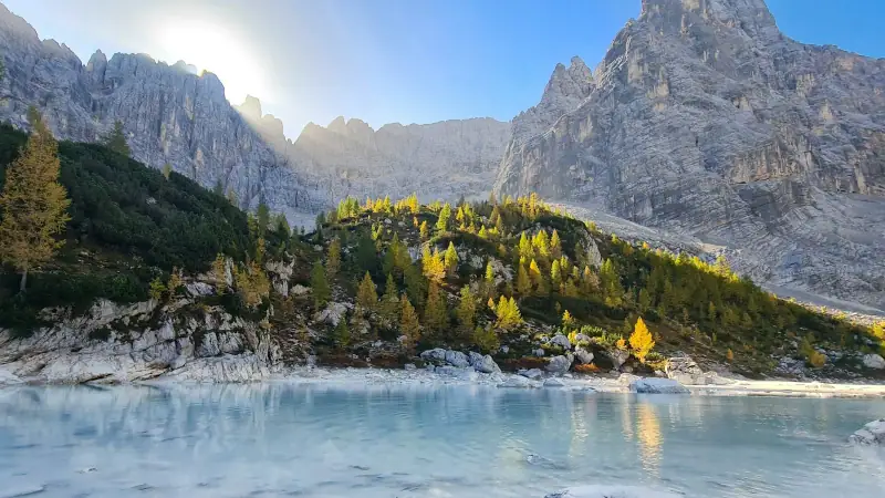
With its milky turquoise water and rock walls of nearly 3,000 m (9,840 ft), Lake Sorapis is one of the most beautiful lakes in the Dolomites. Many visitors wonder whether you can go on your own, without booking or paying a guide, and whether the cable sections are a problem. Here are the concrete answers: route, difficulty, parking, season and plan B.
Can you hike Lake Sorapis without a guide?
Yes. Trail 215 is marked, busy, and needs neither a harness nor a helmet. You simply need good hiking boots, sure footing and a minimal tolerance for heights. If you are wondering whether to pay for a guide at all, our article on whether a mountain guide is required and what it costs explains when it is really useful.
The route in numbers
| Criterion | Indicative value |
|---|---|
| Start | Passo Tre Croci (SR 48), between Cortina and Misurina |
| Trail | No. 215 |
| Distance | about 12 km (7.5 mi) round trip |
| Elevation gain | about 500 m (1,640 ft) |
| Highest point | about 1,975 m (6,480 ft) |
| Duration | 4 h to 4 h 30 with breaks |
| Season | June to late October depending on snow |
Figures vary by a few hundred meters depending on the source and the GPS app: allow a margin.
Stay in Cortina to start early
The start is about twenty minutes by road from town: staying there makes it easier to arrive before 7 am.
Step by step: from the pass to the lake
The first 3 kilometers (2 mi) follow a wide forest track with a gentle slope. This is the easy part, ideal for warming up.
Then the path narrows and runs along a ledge like a balcony. This is where the handrail cables and short metal stairs are. The drop is real but the trail stays wide in places; a few rocky sections require using your hands.
At the end, the Vandelli hut is a few minutes below the lake. A small loop of about 1 km (0.6 mi) around the lake lets you vary the viewpoints before heading down the same way.
Parking and access: the real friction point
There is no real parking lot at Passo Tre Croci: parking is along the SR 48 and in nearby spots, sometimes paid depending on the place. In high season you need to arrive before 7 am. A gravel lot about 600 m (about 2,000 ft) to the west is a fallback. After 9 am in July and August, you may circle for a long time.
Without a car, see our guide to visiting the Dolomites without a car by bus and train: scheduled buses serve the area in summer, but timetables change every season, so check before you go.
To rent a vehicle and combine Sorapis, Misurina and the Tre Cime, use the comparison tool below.
Rent a car to explore the Dolomites
Compare prices from Verona, Venice or Innsbruck.
How long should you really plan?
The 4 h 30 estimate matches an average pace with breaks. In summer, add 30 to 60 minutes for queues at the cable sections. Plan lunch at the hut or a picnic near the lake, and set out with at least 6 hours ahead of you.
A good benchmark: if you have not reached the lake after 2 h 30 of walking, you are behind the standard pace. In that case, it is better to shorten the break by the water than to come down late, especially off-season when the light fades fast. Also factor in the drive from Cortina or Auronzo, to be added to the day. Children comfortable with a 4-hour hike can do it, but keep them close to you on the equipped sections.
Sorapis in October: possible or not?
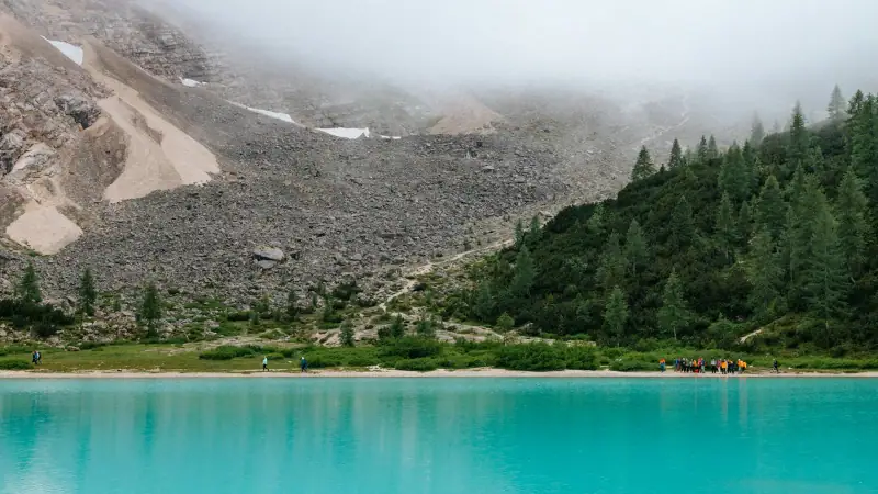
It is possible and even very beautiful with the golden larches, as long as the snow has not settled in. Two caveats: the lake level can be very low and the equipped sections can be slippery in the morning. Days are getting shorter, so start in mid-morning with a headlamp as backup. For roads still open at this time of year, see our Dolomites road trip in October.
Guided hikes around Cortina
If the exposed sections worry you, compare the guided outings offered in the area.
Safety: weather, storms and gear
Summer thunderstorms often break out in the afternoon; on a ledge trail, it is better to be back down early. Our article on what to do in a thunderstorm while hiking explains what to do. Carry 1.5 liters (about 50 oz) of water per person, a windproof jacket, a warm layer, trekking poles if you are used to them (stow them at the cables) and the offline map of the trail.
Not comfortable with heights: the alternatives
Lake Misurina offers an easy walk with a view of the Sorapiss. Another option is to extend the day with the scenic road toward Misurina, with photo stops, without walking any further. For a quiet family day, the wide paths around the lakes are more reassuring than a ledge trail. You will find more loops without cables in our selection of the best hikes in the Dolomites and around the Tre Cime di Lavaredo.
In short
Lake Sorapis is very doable without a guide: about 12 km (7.5 mi), 500 m (1,640 ft) of climbing, 4 h to 4 h 30, limited parking, so arrive before 7 am in high season. The cable sections are the only real point of attention. Start early, check the weather and have a plan B if heights bother you.
Frequently asked questions
Do you need a guide to go to Lake Sorapis?
No. Trail 215 is marked and accessible to any hiker in good physical shape, without climbing equipment. The exposed sections are fitted with handrail cables and small metal stairs. A guide is only useful if you are very prone to vertigo or if the trail is still snowy early in the season.
How difficult is the Lake Sorapis hike?
It is generally rated moderate to difficult: about 12 km (7.5 mi) round trip and 500 m (1,640 ft) of elevation gain, with an easy first part in forest, then a ledge trail with cable-equipped sections. No section is technically hard, but the drop can unsettle anyone sensitive to heights.
How long does the Lake Sorapis hike take?
Allow 4 h to 4 h 30 round trip including breaks, not counting lunch. Plan 1 h 30 to 2 h for the climb. Add time in high season: the cable sections can create bottlenecks at busy hours.
Where do you park at Passo Tre Croci and is it paid?
There is no real parking lot at the pass: people park along the SR 48 road or in nearby spots, sometimes paid depending on the place (some private lots charge a lot). Spaces go very early in season: aim to arrive before 7 am and check conditions on site. A gravel lot about 600 m (about 2,000 ft) to the west (10 minutes on foot from the start) is a fallback.
Can you hike Lake Sorapis in October?
Yes, as long as the snow has not arrived, generally until late October. The golden larches are superb, but the lake level can drop and its color look less intense. Check the weather and the trail condition before leaving: ice is possible in the morning on the equipped sections.
Can you stay overnight at Lake Sorapis?
Yes, the Vandelli hut is a few minutes below the lake. It offers meals and overnight stays in season, with a reservation recommended in summer. Contact it directly for this year's opening dates and rates, which vary.
Is there an alternative without exposed sections?
Yes: Lake Misurina, reachable on an easy walk around the shore, gives a view of the Sorapiss massif with no exposed sections. The nearby Tre Cime di Lavaredo also have wide loops without cables.
More Dolomites guides
Keep reading
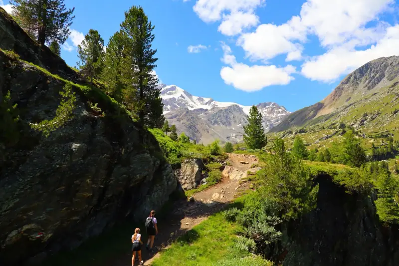
Best Hikes in the Dolomites: The Most Beautiful Trails
The best Dolomites hikes for every level: Tre Cime, Seceda, Alpe di Siusi, Cinque Torri and lesser-known trails.
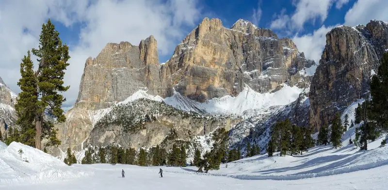
Dolomites in winter without skiing: snowshoeing, sledding, huts and villages
What to do in the Dolomites in winter without skiing: sledding at Alpe di Siusi and Ortisei, snowshoeing, huts, sleigh rides and Christmas markets.
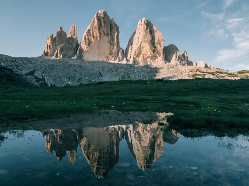
Tre Cime di Lavaredo: The Ultimate Guide to the Symbol of the Dolomites
Everything you need to visit the Tre Cime di Lavaredo: access, parking, hikes, best time of day and tips for avoiding the crowds.
Ready-made
Dolomites itineraries
5 days
Dolomites with Kids: 5-Day Family Itinerary
Ortisei (Val Gardena)Cortina d'Ampezzo
5 days
Dolomites road trip in October: 5-day itinerary and passable roads
OrtiseiCanazeiCortina d'Ampezzo
3 days
Dolomites Weekend: A 3-Day Itinerary
A 3-day Dolomites weekend: Val Gardena, Tre Cime di Lavaredo and Alta Badia. Itinerary, lodging, budget and practical tips.